
|
|
Mountain/Rock |
|---|---|
|
|
39.62430°N / 119.8019°W |
|
|
Washoe |
|
|
Hiking |
|
|
Spring, Fall, Winter |
|
|
5872 ft / 1790 m |
|
|
Overview
Just north of the town of Sun Valley, Nevada are a series of hills covered by dirt roads going every which way. These hills are accessed primarily from Sun Valley Regional Park. Located only about 6 miles north of Reno’s city center as the crow flies, this is a good winter destination when higher mountains are covered in snow. These hills are minor summits in the overall area around Reno, Nevada, but I decided to create this page to create awareness about this great new park, which was dedicated in December of 2008, fortunately far enough along to avoid delays caused by the cconomic crisis.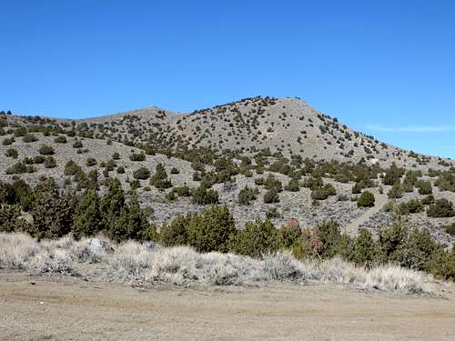
View to the summits
The park offers hiking, trail running, biking, ATV routes, target shooting, and all sorts of recreational activities to residents of Northern Nevada.
There are two summits at the highest area of the hills. The USGS noted the lower one – Point 5861, but did not note the actual summit of the hills, which is less than ¼ mile to the west. The elevation given for this page comes from Google Earth™, but it is likely roughly 5,865’ to 5,872’.
There are great views of surrounding mountains in all directions.
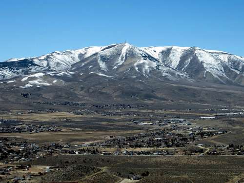
View west to Peavine Peak 8,266'
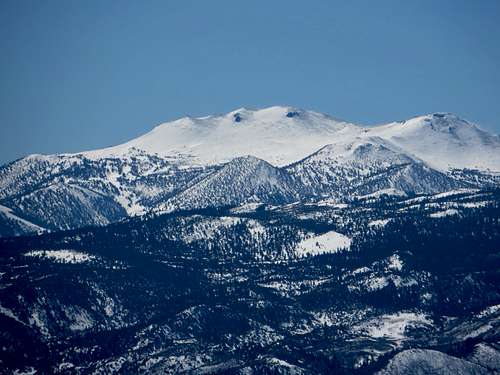
Zoom shot southwest to Mount Rose 10,776'
The true summit has a prominence of approximately 375’ above its saddle with its higher neighbor – Spanish Benchmark 6,161’.
The best time to hike here is in winter. Late fall or maybe early spring are nice if there are dry conditions. The roads can get quite muddy after a storm.
Getting There
From Reno, take US 395 north to Clear Acre Lane. This becomes Sun Valley Blvd and leads to the community of Sun Valley. Once in town drive a little ways and take a left on Quartz Lane, then a right on Sidehill Drive and you will reach Ester Bennett Elementary School. Once at the school, there is a sign pointing to Sun Valley Regional Park on the left. The road up leads to a paved parking area with bathrooms, right at the base of the hills.You can reach these hills from Golden Valley off of Estates Road, just two miles off of 395, as well as from Chimney Drive further northeast in Sun Valley. However, the Sun Valley Regional Park is probably the best way to enjoy the area.
Once at the parking area, make your way up the hills, heading pretty much northwest. There are many roads, and as long as you go up, you will see the summits in front of you and reach your destination. It is about 1 1/2 miles from the parking lot to the summits.
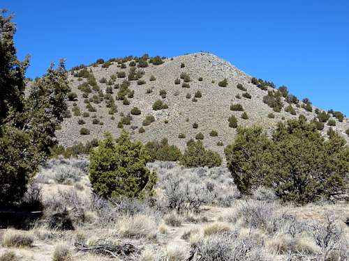
Heading up the hills, with Point 5861 above
hgrapid - Apr 27, 2015 2:55 pm - Hasn't voted
Re: Broken linkThanks Bob, fixed it!