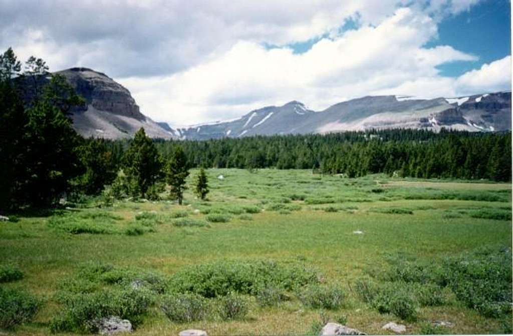
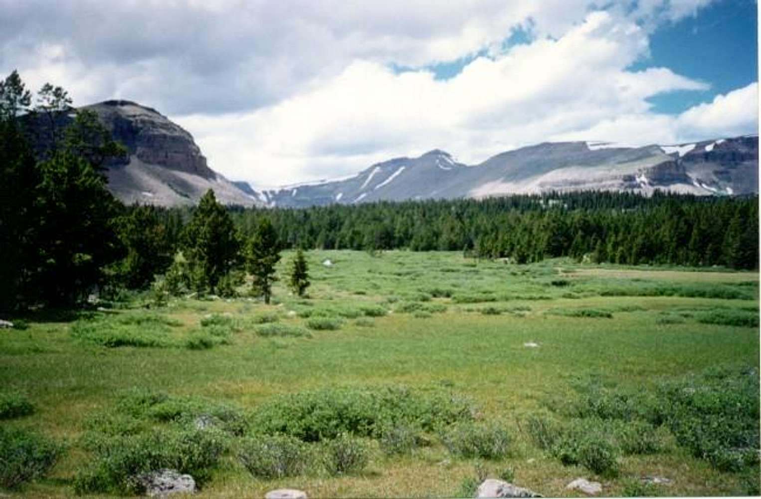
Gilbert Peak (center) from...
Gilbert Peak (center) from the south and near Milk Lake in the Uinta River drainage. This picture was taken in mid-August 1995. The Gilbert Creek Route goes through the beautiful meadows and along Gilbert to the cirque-basin seen just to the left of Gilbert Peak. The route then climbs the slope just to the right of the long-thin snowfield seen dropping from near the summit. Alternately, you can climb to the notch visible to the right of the summit, and ascend the ridge to the top.


