Toggle navigation
Mountains
Routes
Images
Trip Reports
Forum
What's New
People
Areas & Ranges
Articles
Trailheads
Canyons
Huts & Campgrounds
Albums
Logistical Centers
Fact Sheets
Lists
Custom Objects
Gear
Plans & Partners
WELCOME TO SUMMITPOST
SIGN IN
REGISTER
Waterville Valley-Sandwich Range
Additional Parents
Image
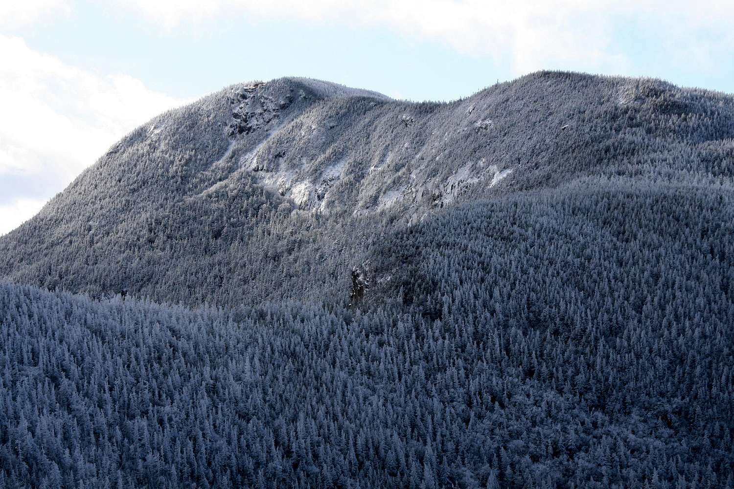
Osceola close-up
View High-Resolution Image
Osceola close-up
Osceola seen from East Osceola. Dark bluff at center is the location of the "chimney." November 2007
« PREV
NEXT »
nartreb
on
Nov 19, 2007 8:00 pm
Comments & voting
Other parents
Lat/Lon:
44.00080°N / 71.536°W
Image Type(s):
Hiking
,
Scenery
Image ID:
358303
6097 Hits
74.92
% Score
5
Votes
Log in to vote
Comments
No comments posted yet.
to post!
Don't have an account?
Waterville Valley-Sandwich Range
(Area/Range)
« PREV
Viewing
#16 of 49
GALLERY
NEXT »
nartreb's Image Gallery
« PREV
Viewing
#235 of 815
GALLERY
NEXT »
Mount Osceola
(Mountain/Rock)
Loading....
East Osceola
(Mountain/Rock)
Loading....
Mount Osceola via Greeley Ponds
(Route)
Loading....
Photo of the Hour
(Album)
Loading....
×
You need to login in order to vote!
User Name
Password
Remember me
Forgot your password?
Log me out when I close my browser.
Keep me logged in all the time.
sign in as a user
Don't have an account?
Register now for FREE
Rating available
Suggested routes for you
People who climb the same things as you
Comments Available
Create Albums
Register Here


