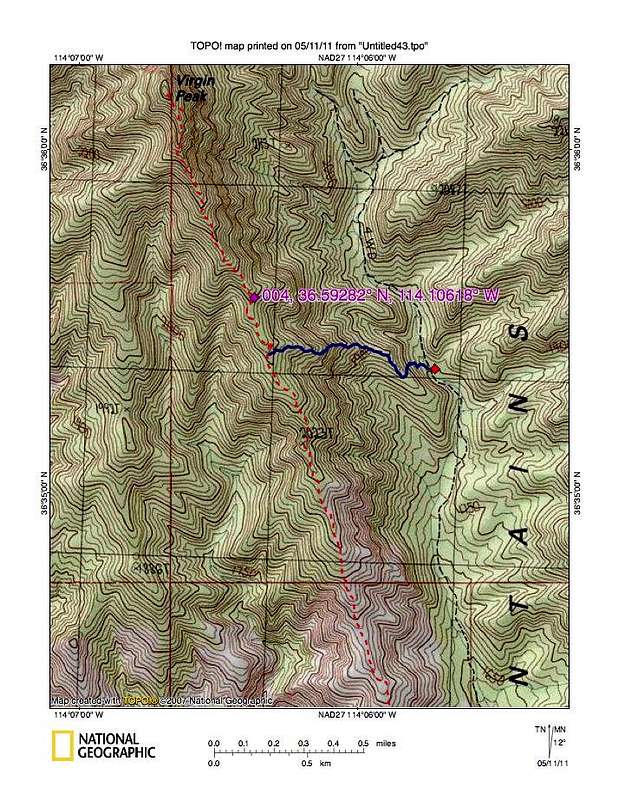
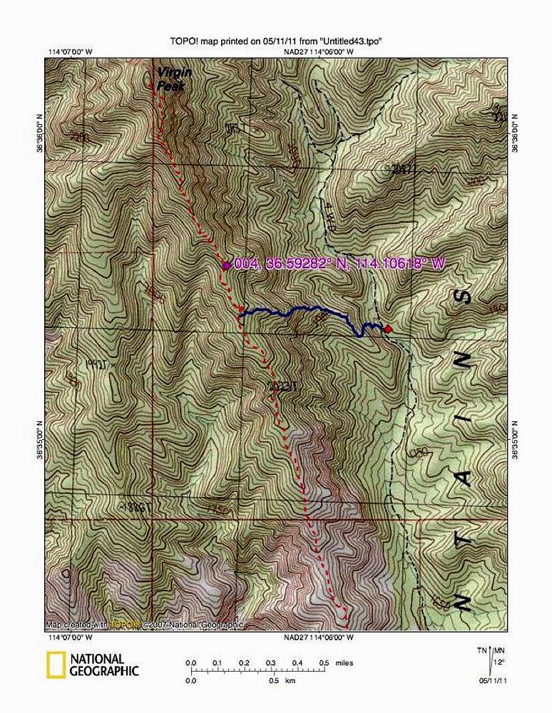
The blue line represents the way we went from the road to the ridgeline. Not recommended. We went down the other way and would go up that way if we had to do this one again. From where the blue line intersects the ridge, we had about a mile to go and 1100 feet of elevation to gain to get to the summit.
There is a use trail on the upper section that we followed.


