Toggle navigation
Mountains
Routes
Images
Trip Reports
Forum
What's New
People
Areas & Ranges
Articles
Trailheads
Canyons
Huts & Campgrounds
Albums
Logistical Centers
Fact Sheets
Lists
Custom Objects
Gear
Plans & Partners
WELCOME TO SUMMITPOST
SIGN IN
REGISTER
Southwest slope
Additional Parents
Image
Palisade Basin from Knapsack...
View High-Resolution Image
Palisade Basin from Knapsack...
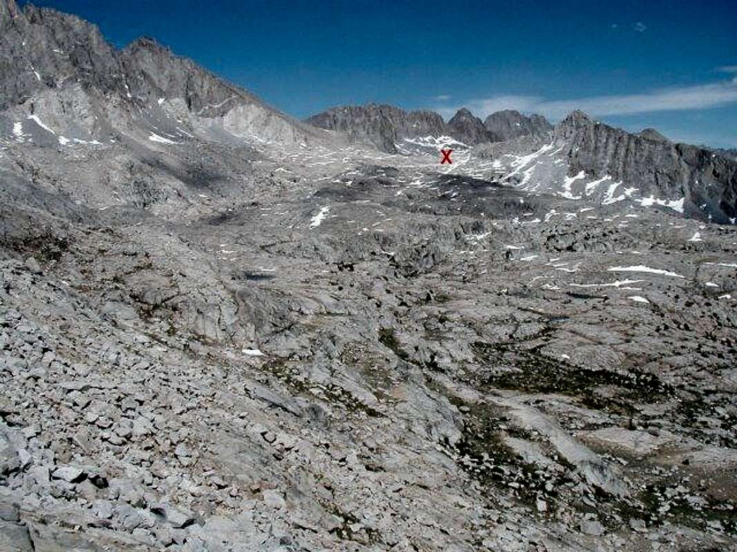
Palisade Basin from Knapsack pass, July 6, 2002. X marks Potluck pass.
« PREV
NEXT »
Langenbacher
on
Oct 5, 2002 12:31 am
Comments & voting
Other parents
Lat/Lon:
37.09440°N / 118.5019°W
Image ID:
12236
12984 Hits
73.91
% Score
5
Votes
Log in to vote
Comments
No comments posted yet.
to post!
Don't have an account?
Southwest slope
(Route)
« PREV
Viewing
#3 of 6
GALLERY
NEXT »
Langenbacher's Image Gallery
« PREV
Viewing
#55 of 104
GALLERY
NEXT »
Mount Sill
(Mountain/Rock)
Loading....
×
You need to login in order to vote!
User Name
Password
Remember me
Forgot your password?
Log me out when I close my browser.
Keep me logged in all the time.
sign in as a user
Don't have an account?
Register now for FREE
Rating available
Suggested routes for you
People who climb the same things as you
Comments Available
Create Albums
Register Here


