
|
|
Mountain/Rock |
|---|---|
|
|
39.66690°N / 119.802°W |
|
|
Washoe |
|
|
Hiking |
|
|
Spring, Fall, Winter |
|
|
5503 ft / 1677 m |
|
|
Overview
Hidden in a valley with no name and no fanfare, is a prominent summit with a nice road to the top, and excellent views. This is Peak 5503, rising to the east of Lemmon Valley. It has a prominence of approximately 375’. There are multiple ways to hike here, but the most common is from Arkansas Street off of Lemmon Drive.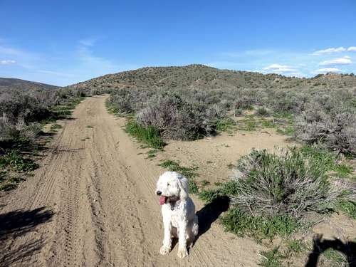
Tahoe dog relaxing after the hike near the parking area
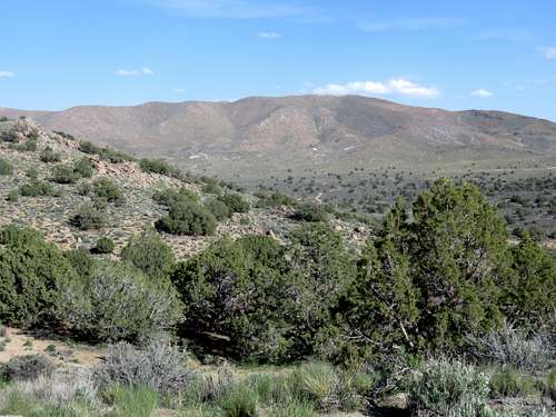
East side of Spanish BM as seen from Peak 5503
The draw for this mountain is that it is pretty easy to reach from downtown Reno and makes an excellent after work hike. It is a good place to take dogs.
The mountain sits east of Swan Lake, a lake that has water, but is presently starting to dry up. There are numerous mountains in the vicinity a little higher. There is a particularly nice view of the Hungry Valley to the north.
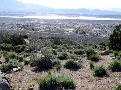
Swan Lake from the summit
The mountains around Lemmon Valley are primarily hiking destinations in winter, spring, and fall. As with most of the lower summits in this area, summer hiking is not recommended due to heat and rattlesnakes.
Getting There
Take 395 North to Exit 74 for Lemmon Valley. Take Lemmon Drive for about 3 ½ miles to Arkansas Street on your right. Take it straight out for about three quarters of a mile. There is a dirt parking area. From here, take the dirt road heading east. After a tenth of a mile, take the first left. This will take you all the way to the summit in about a mile, gaining about 550’. You can also go straight east and not turn left. This will take you around the back side of the mountain and you can make a 3 mile loop.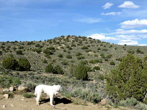
View of the final stretch to the summit
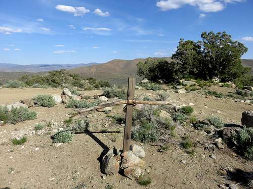
Summit of Peak 5503
Another, even shorter option is via Chickadee Drive, about 1 mile further north than Arkansas Street. Take Chickadee Drive to the end of the pavement, about 1.3 miles from the main road. From there a road leads right to the summit in just over ½ mile, gaining 520’, so pretty steep. You can descend via the road heading east from the summit and make a 1 1/2 mile loop.