Comments
No comments posted yet.
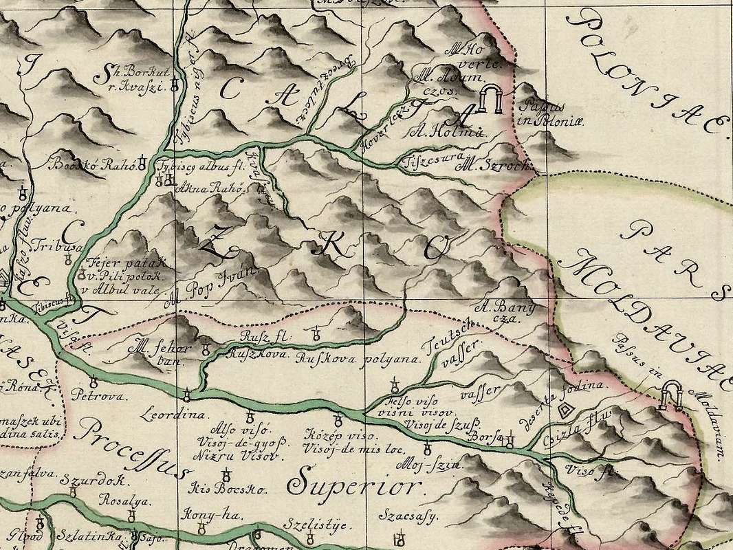
Pop Ivan left of centre on a map of Máramaros County made three centuries ago. The map (J. Rybizki. Hungariae Regni, Pars Transylvaniae, Russiae et Moldaviae contermina Integrum Comitatum Maramarusiensem Repraesentans. Vienna 1725) is available here


