Toggle navigation
Mountains
Routes
Images
Trip Reports
Forum
What's New
People
Areas & Ranges
Articles
Trailheads
Canyons
Huts & Campgrounds
Albums
Logistical Centers
Fact Sheets
Lists
Custom Objects
Gear
Plans & Partners
WELCOME TO SUMMITPOST
SIGN IN
REGISTER
Personal Survey Monument Album
Additional Parents
Image
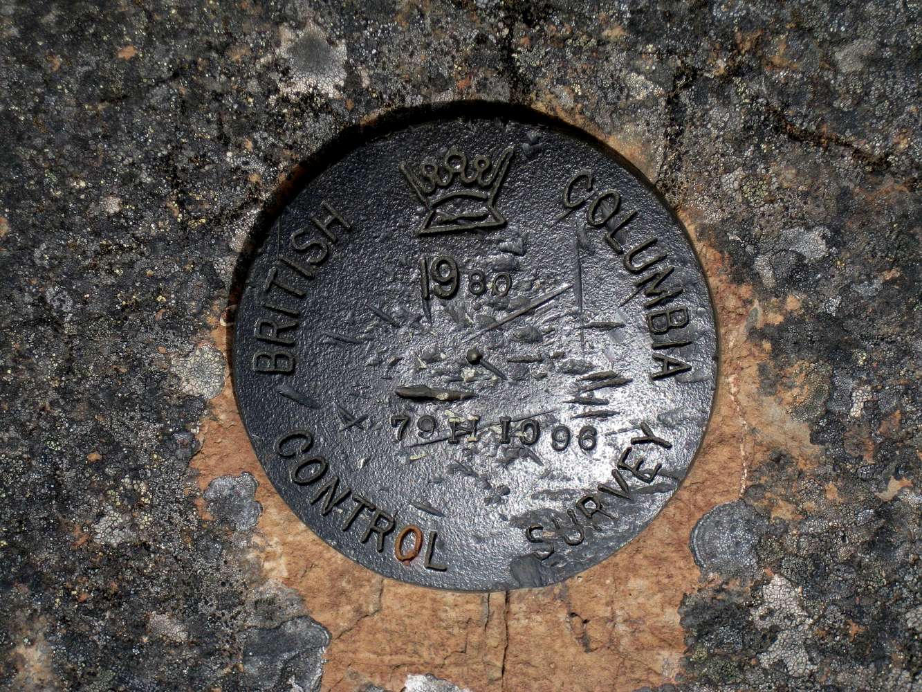
Ragged Mountain South BCCS Benchmark
View High-Resolution Image
Ragged Mountain South BCCS Benchmark
1980
J.E. Anderson
British Columbia Control Survey marker on
Ragged Mountain South (aka Thunderbird Mountain)
. Note the modern stylised crown compared to earlier local marks and the map-pin motif near the centre of the plate.
« PREV
NEXT »
vancouver islander
on
Jun 23, 2008 8:03 pm
Comments & voting
Other parents
Lat/Lon:
48.43100°N / 123.644°W
Image Type(s):
Informational
Image ID:
414911
2441 Hits
72.08
% Score
2
Votes
Log in to vote
Comments
No comments posted yet.
to post!
Don't have an account?
Personal Survey Monument Album
(Album)
« PREV
Viewing
#5 of 24
GALLERY
NEXT »
vancouver islander's Image Gallery
« PREV
Viewing
#1231 of 1858
GALLERY
NEXT »
Capital Regional District (Victoria, BC)
(Area/Range)
Loading....
Photo of the Hour
(Album)
Loading....
×
You need to login in order to vote!
User Name
Password
Remember me
Forgot your password?
Log me out when I close my browser.
Keep me logged in all the time.
sign in as a user
Don't have an account?
Register now for FREE
Rating available
Suggested routes for you
People who climb the same things as you
Comments Available
Create Albums
Register Here


