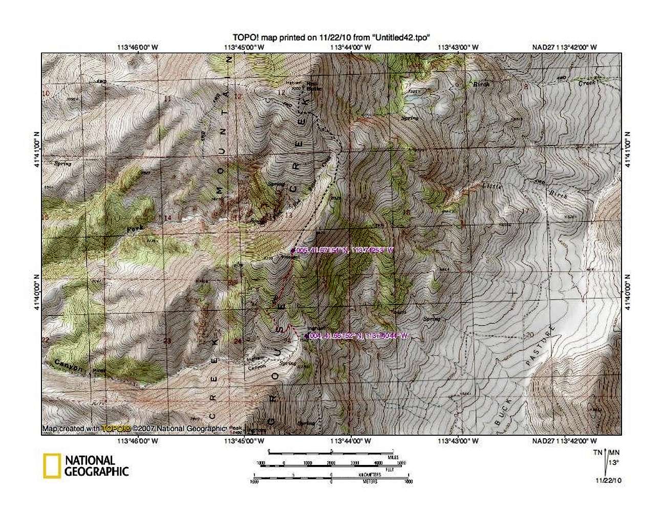
From Ingram Pass to the saddle (wpt 5), it is one mile with an elevation gain of 700 feet. From the saddle we chose to walk it, 1.75 miles with another elevation gain (which includes some ups and downs along the road) of another 900 feet. From Ingram Pass, it would be 2.75 miles with a round trip mileage of 5.5 miles and less than two thousand feet of elevation gain. With high clearance and 4WD, you can cut down the overall distance and elevation gain.
Wpt 4 41.6615 -113.7404
Wpt 5 41. 6715 -113.7425


