-
 4100 Hits
-
 76.66% Score
-
 7 Votes
|
|
Route |
|---|---|
|
|
45.82983°N / 114.51052°W |
|
|
Hiking, Mountaineering, Scrambling, Skiing |
|
|
Spring, Summer, Fall, Winter |
|
|
A long day |
|
|
Very Strenuous |
|
|
Class 3 |
|
|
Overview
Route Type - Scramble Class Level – Class 3 Elevation – 8,780’ Gain - 4,601' Distance - 16.1 miles (round trip) Length of time required to complete route – long day
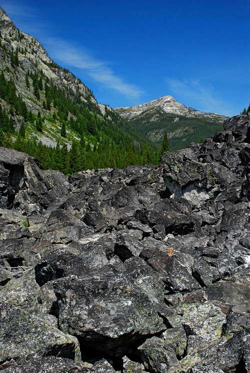
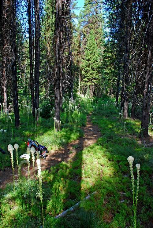
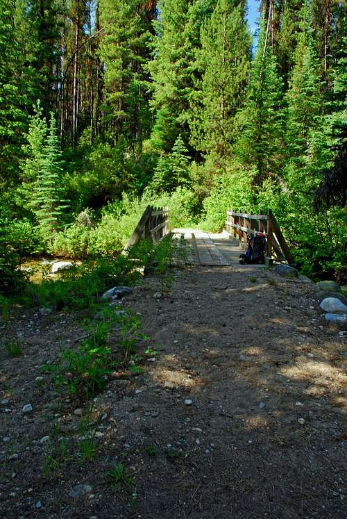
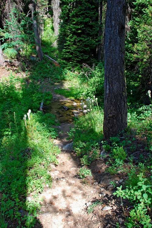
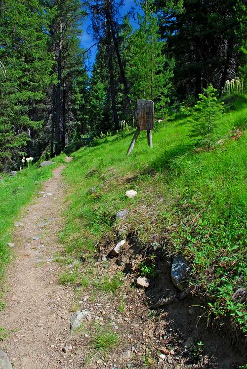
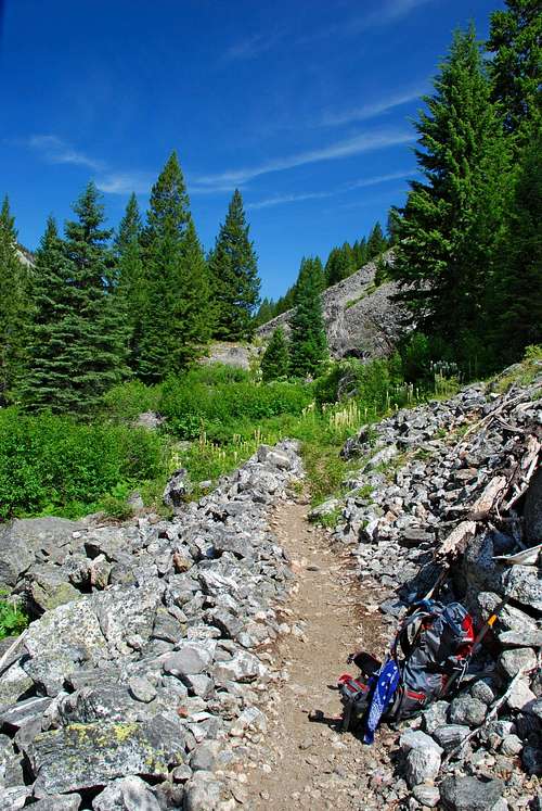
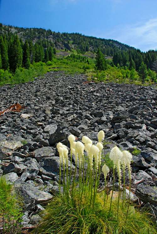
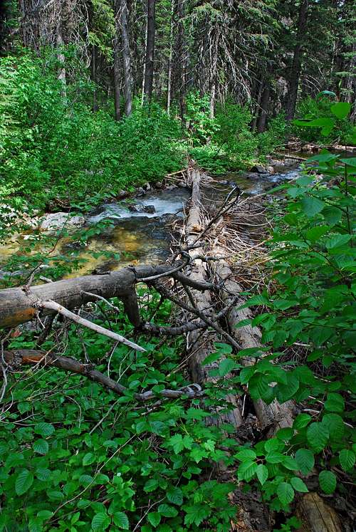
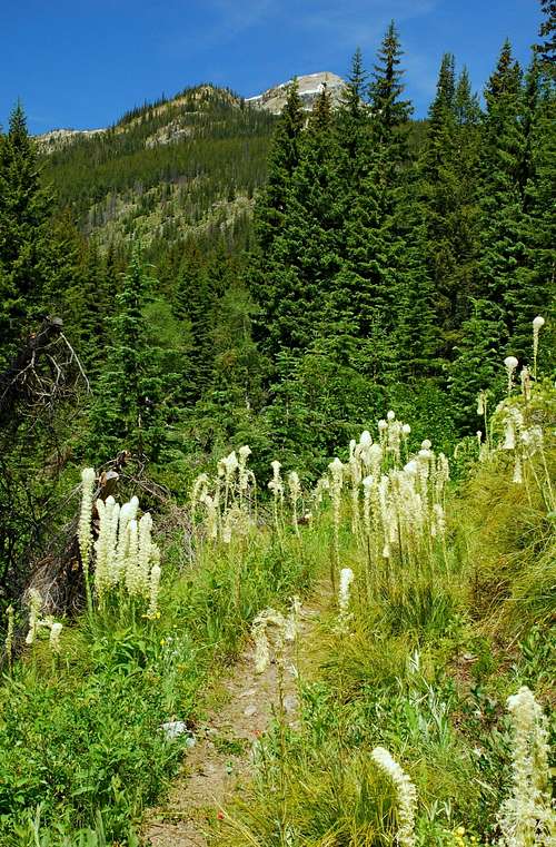
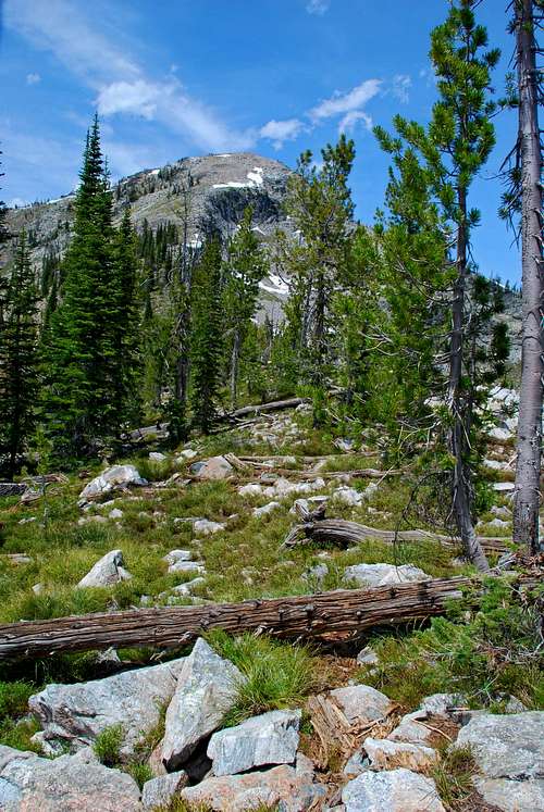
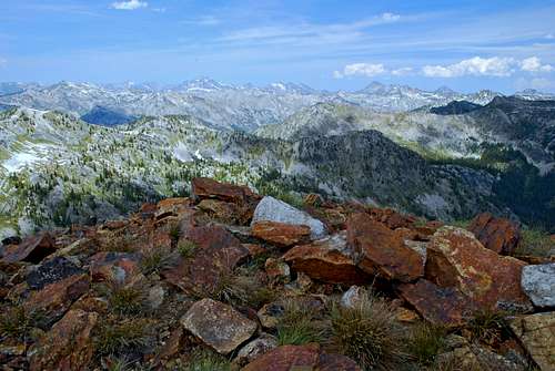
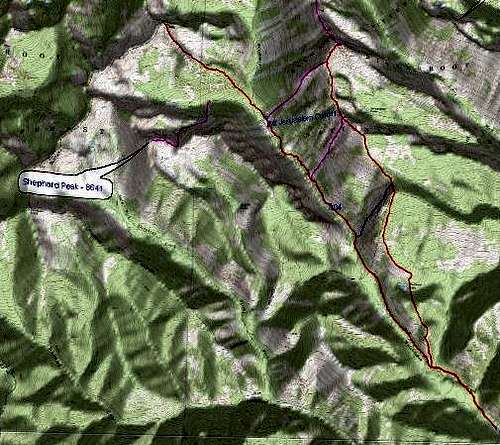
Of the few who do visit the area of the West Fork, most are horsemen and/or hunters. Since they generally stay low in the drainages, they benefit our “climbing experience” by helping keep the access trails open. I’ve been in the area many times, even during hunting season, but have yet to see a single person in the backcountry. I have run across foot and hoof prints, a vehicle or two on the roads, and one time, a tethered horse and a mule at a trailhead. How Watchtower Peak got its name is undocumented. There is speculation that it was named after the creek which could have received its name from early settlers who were impressed by the many gendarmes along the ridge-lines on both sides of the drainage. But now that I have visited the summit and seen the unparalleled views in every direction, I prefer to believe the peak was named for what it is, a watchtower, and the creek (several of whose tributaries flow from its base) was named for the peak. Just speculation of course, but as there is no documentation to disprove my contention, who can justly argue differently? Getting ThereFrom Hwy 93 take Montana Hwy 473 (West Fork Road) west for 14.3 miles to the junction with Nez Perce Road (468). Follow the Nez Perce Road for 9.2 miles to the signed turnoff for Watchtower Creek Trail (142). Turn right (northwest) onto FR road 5638 and follow it .4 mile to the trailhead loop. There is a spacious clearing with plentiful parking. There are stock facilities and an outhouse at the trailhead. Route DescriptionApproach - Trailhead to the base of Watchtower PeakThe route begins at the Watchtower Creek Trailhead and heads northwest over a nice, gently-inclined, easy-to-follow trail for about 6.5 miles before it leaves the official trail and begins ascending quite steeply. At just under 1 mile from the beginning, the trail crosses Watchtower Creek on a good bridge. Continue along the well-defined track in a north-northwest direction to the second creek crossing on a not-so-good bridge constructed of small logs. At mile three you pass into the “official” Selway-Bitterroot Wilderness, marked by a sign just right of the trail. The route passes over several talus fields intermingled with sections of forest on a well-maintained track. It’s not until you’ve hiked nearly four miles that you get your first good look of your destination, Watchtower Peak. Even then, you may want to leave the maintained track and climb up into a boulder field a few feet for a better view. Just before covering 6 miles from the trailhead and coming to the third creek crossing, you will see a cutoff trail to your right. This barely visible track is a little-used route to the summit of Mount Jerusalem. It is partially marked with blazes, but you better be prepared for some tedious route finding if you use it. There is no bridge over the third creek; however a few trees have conveniently fallen across the water so you can keep your feet dry while crossing. Less than a half mile later you reach the fourth and final creek crossing. The most precarious of the four crossings, it is possible to stay out of the water by leaving the trail, going to your left (southwest) 20 or so yards, and crossing on a fallen tree. It wriggles a bit, but didn’t throw me in the water – coming or going! Most places along the trail the Beargrass was in full bloom. It was impossible to pass without brushing the flowers which left me covered in pollen. Sometimes the fragrance was simply overpowering. Climber’s Route - From the base of Watchtower Peak to the summit This is where the work begins. After crossing the creek, the Watchtower Creek Trail veers in a more westerly direction and continues its gentle incline as it proceeds through the woods. However, the route to the Watchtower Peak summit does not. Instead, it immediately begins climbing the Peak’s southeastern ridge. Do your best to stay as close to the crest of the ridge as you work, and I mean that literally, uphill. The footing is poor at best as you step through Bear Grass and over deadfall. While climbing this section of the route, the Bob Dylan song, “All Along the Watchtower”, made famous by Jimmy Hendrix, kept reverberating in my head...
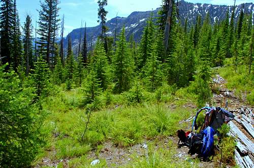
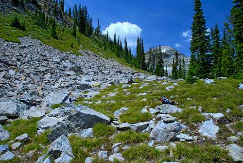
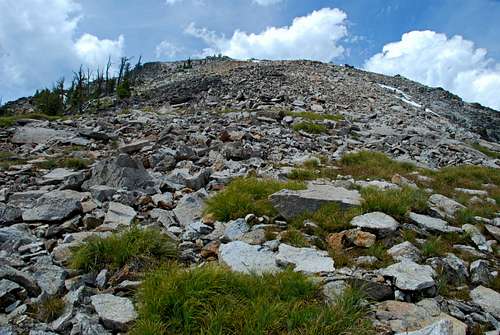
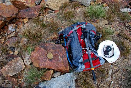
Fortunately this crappy section of climbing eventually ends as the incline begins to relent when you enter a section of forest which has been thinned by fire. The elevation here is about 7,100’, almost 1,000’ above and a half mile beyond the last creek you crossed! If you’re careful with route finding and stay to your left (west), you will continue to work your way upward along the ridge-crest. During my ascent, I decided to stay slightly lower and pass across the edge of the bowl on the Peak’s east face before climbing to the ridge-crest. (I descended along the crest.) Either way requires mostly Class 2 climbing with short Class 3 sections. There is a small bump on the ridge-crest at about 9,750’. Once you’ve passed that, you have a clear view of the summit for the remainder of the climb. From the bump until you reach the base of the talus field below the summit, it’s Class 1 and 2 climbing. The last several hundred feet of the climb is over talus and small boulders. This is where you do the most consistent Class 3 climbing, though I must say, I found it far easier to navigate (both mentally and physically) than the section of thick forest with Bear Grass and deadfall at the base of the peak. Additional Remarks During the approach along the Watchtower Creek Trail, you cover almost 6.5 miles while achieving only 1,143’ of elevation gain. The trail is excellent, well maintained, and very enjoyable to hike. The remaining 1.5 miles to the summit requires that you gain 2,580’ of elevation. If I’m doing that on rock, I don’t mind even though it requires some effort. But, I do NOT like having to make that amount of gain on poor footing, especially in a heavily forested area. One thousand of the elevation gain on this route is just what I dislike. Yuck! While on the summit, I spent time studying another possible route. It would be longer than this route by 3 to 4 miles, round trip. What it would not do is force one to climb in heavy forest. It is likely to have sections of Class 4 climbing. In a nutshell, my proposed route continues on the Watchtower Creek Trail (past the base of Watchtower Peak) toward the pass into Idaho. Either before reaching the pass or at the pass, it leaves the Watchtower Creek Trail and follows the ridge-crest in a northeasterly direction to the summit of Watchtower Peak. There are gendarmes guarding the ridge in several places, but it appears it would be possible to circumnavigate them with only a small amount of down-climbing. I’ll trade a 20 mile round trip and Class 4 climbing for a 16 mile round trip a portion of which requires climbing 1,000’ on poor footing through a thick forest any day! Even if it requires an overnight stay in the backcountry. Come to think of it, that could be rather nice. When to GoWatchtower Creek Trail is well defined and obvious from the trailhead to the base of Watchtower Peak. Skiing this part of the route on snow shouldn’t prove to be a problem; however, the lower portion of the ascent (to the summit) passes through fairly thick forest at a very steep incline, 45 or more degrees in most places. I would not recommend skiing that section (up or down) unless the snow is deep enough to completely cover the deadfall. Having said that, there is a huge bowl on the east face of the peak, just the sort of place my backcountry skiing friends love – a very open forest of widely-spaced trees, little underbrush, and every manner of slope. To them it may be worth the effort required to reach it for snow camping and super skiing. Though Watchtower Creek Trail passes through avalanche territory, they are likely to be a problem only during years with heavy snow fall. The trail passes along the side of the canyon away from most avalanche activity. That does not mean you shouldn’t be fully aware of your surroundings at all times. Once you reach the base of the Peak, the route follows a ridge-crest where there is little chance of sliding snow. (The lower section is anchored by thick forest and lots of deadfall.) You will need to carry an ice axe and know how to use it on the upper sections of the ridge. Crampon use is unlikely unless you plan to go off-route. Essential GearYou will need sturdy hiking shoes plus plenty of food and drink. Once the route leaves the area of the creek and begins its ascent, no water is available. Portions of the route through the woods are steep with poor footing on Bear Grass and over deadfall. It will test your stamina, guaranteed! A wintertime ascent will require gear appropriate to travel over snow. Route Statistics |


