|
|
Mountain/Rock |
|---|---|
|
|
38.92640°N / 42.82750°E |
|
|
13314 ft / 4058 m |
|
|
Overview
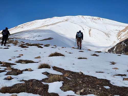
Süphan Dağı is the second highest volcano in Turkey, with an elevation of 4,058 meters (13,314 feet) and is located north of Lake Van. It is much less known that the highest volcano in Turkey (Mount Ararat) but is a nice hike/climb. The crater contains two lakes and a 1959 plane crash of an Avro 689 Tudor plane.
The mountain is broad and isolated and apparently has only one tree. The openness of the country makes navigation fairly simple. Technical difficulties are pretty much non-existent, though an ice axe and crampons are needed much of the year.
There are a variety of routes available on the mountain, but the north slopes are closed to climbers at this time.
Getting There
Since 2015, you much Adilcevaz join an official guide from Adilcevaz in order to climb the mountain. It isn't worth trying to get around the rule as climbers without a guide have known to be detained.
Asolcevaz can be reached by small bus from the city of Van, which is connected to the rest of the country by many public transport options.
The actual start of the climb is from a village known as Kiskili near the larger village of Aydinlar.
Because of the problems fo getting a guide in Adilcevaz, it may just be better to arrange everything from an outfitter that does Mount Ararat. Surprisingly, this can be cheaper than just arriving at Adilcevaz and hoping to track down a guide.
Routes Overview
Standard Route
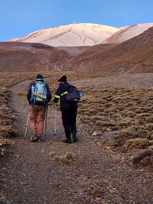
The standard route is from the village of Kiskili. Most walk from there, but a 4x4 can reach a high camp at Göçer Yayla. From Göçer Yayla, you will notice two tracks on the mountain, one on left side of a large gully/drainage and one on the right. The left trail is used for the ascent and the right for the descent. The descent trail makes a fast walk down, but is not a good ascent route because of loose volcanic sand.
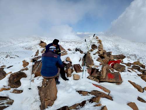
Once you are on the plateau near the crater, you will circle around and climb the steep slopes to the summit. There are many summits around the top, the one with the big cairn and register is the highest.
The climb can be made in one day, but some take 2-3. Be aware that water is pretty sparse on the mountain.
Other Routes
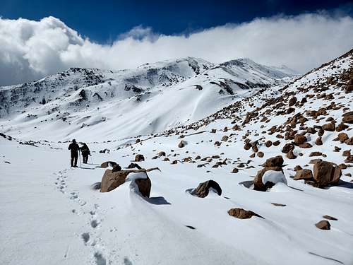
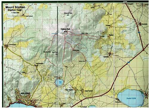
There are several routes climbing the mountain from the south and none of them are overly difficult. See the map below.
Red Tape
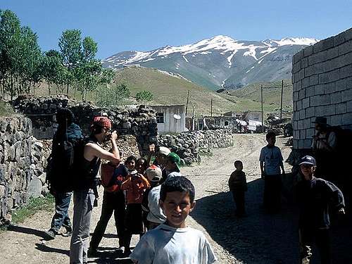
As mentioned, since 2015, you much Adilcevaz join an official guide from Adilcevaz in order to climb the mountain. You can be detained by the gandarma without one.
The north side of the mountain is closed to hiking and climbing.
When To Climb
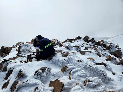
Early July through early September is the normal climbing season.
June can be good but is wetter than July and August. September can also have good weather and conditions, but by the middle of the month the weather has a less chance of being clear and the weather is noticeably colder.
Next to spring, October is the wettest time of year, but ascents can be made then and that’s when I climbed the mountain. It is pretty cold then though. It will be hard to find the required guide to do the climb after mid-October.
March and April are said to be good for ski touring-if you can find a guide for that. Go prepared for cold weather then.
Things start to warm up in May, but it’s the wettest month so go prepared for possible snow and bad weather. This is still a pretty dry area though, so climbs are still possible then.
From mid-October through February it may be very difficult to find the required guide to do the peak.
Camping
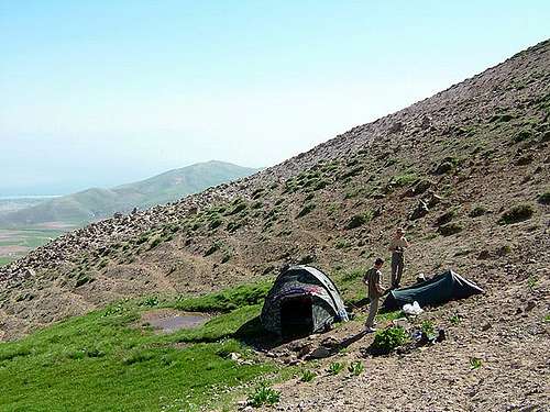
Camping is allowed everywhere, but camp away from the villages. The most popular campsite on the mountain is at Göçer Yayla, but be aware that it may not have water late season.
Mountain Conditions
Click Here for Süphan Dağı Weather Forecast


gregort - Feb 16, 2019 6:50 am - Hasn't voted
red tapeToday we were stoped and returned by Jandarma before we even start our ascent to Suphan Dagi. They told us that since 2015 permit and guide is needed to climb the mountain. It is decret of governor of Bitlis province, what was issued after some accident. We had long negotiation with major in Adilcevaz, where jandarma took us, but decision was either payed guide or we cant go. He called to some local guides, but allmost all rejected us, just one was ready to guide us, but he asked 500 USD, what is clearly off our limit.
omerzitelia - Apr 7, 2019 9:15 pm - Hasn't voted
Summit with skiWe have reached the summit on 07th Apr. There are few things: - we were told to register with the local governor at Adilcevaz but it was Saturday so we couldn't. Total climb is 1750m and we managed in 6h and 1h back. We had visibility so we managed to choose the safest route visually. We didn't want a guide so we started early from Aydinlar. This is the usual starting point. Another group started from Armutlu. Our risked more because the Jandarma usually catches people from Aydinlar but if you start very early the can catch you on your way back. We didn't get cough but the locals are in Aydinlar are not friendly. They called the Jandarma. The locals in Armutlu are the opposite - they gave tea to our friends and welcomed them. My suggestion: start very early to avoid Jandarma.