


-
 3916 Hits
-
 81.18% Score
-
 13 Votes
|
|
Route |
|---|---|
|
|
45.66277°N / 7.69294°E |
|
|
Mixed |
|
|
Spring |
|
|
Note
|
La montagna chiama i suoi figli, ed essi rispondono fedelmente al suo appello… Osvaldo Cardellina, Diario alpinistico, 1964-65 Page texts: @ OsvaldoCardellina "Osva", passed away on May 2, 2022. Page owners: Christian Cardellina e Osvaldo Cardellina. Any updates from September 12, 2022: Antonio Giani, page administrator, friend and climbing companion. Testi della pagina: @ OsvaldoCardellina "Osva", scomparso il 2 maggio 2022. Proprietari pagina: Christian Cardellina e Osvaldo Cardellina. Eventuali aggiornamenti dal 12 settembre 2022: Antonio Giani, amministratore della pagina, amico e compagno di salite. |
Central Baltea Overview
This work is aimed at Lovers of Nature and the great Open Spaces. It has no goals nor obliged points of "absolute conquest", but only Ideas of days to live outdoors in an alpine environment with the goal "to collect" all that the mountain is able to give to those who know it approach with the right motivation. And it is for this reason that the title of 7 could be 77, since each of these routes, let's call them basic, can in turn be divided into several stages or fractions; depending on the snow conditions, weather, and even their own personal wants or those of friends who accompany you. Here the goals are clear, and sometimes, as often there is success, improvised or invented by surprise or drifting from the direction of the wind. There are obliged goals and everyone can choose not only where to start, but also where to stop, maybe sitting on a warm rock in the Sun ...
![]()
Questo lavoro é rivolto agli Amatori della Natura e dei grandi Spazi Liberi. Non presenta mete obbligate e neppur punti di "conquista assoluti", ma soltanto Idee di giornate da vivere all'aria aperta in ambiente alpino con l'obiettivo di "raccogliere" tutto quel che la montagna é capace di donare a coloro che san ad essa avvicinarsi con le giuste motivazioni. Ed é per questo motivo che il titolo di 7 potrebbe diventare 77, poiché ognuno di questi itinerari, chiamiamoli così di base, può a sua volta essere diviso in diverse tappe o frazioni; a seconda delle condizioni della neve, del tempo ed anche della propria personale voglia o di quella degli amici che ti accompagnano. Qui le mete son libere ed a volte, come spesso ci é successo, improvvisate oppure inventate a sorpresa oppure lasciandosi trasportare dalla direzione del vento. Non ci sono obiettivi obbligati ed ognuno può scegliere non solo donde iniziare, ma anche ove terminare, magari sedendosi sopra un caldo sasso a prendere il Sole ...
![]()

But you must not give up and you do not have to surrender. Never give in easily in the face of many adversities you encounter along the way. If you just can not or do not want to go on, sit down. No one will have no objection if you rest on a rustic wooden bench with his back against the stone of a providential Alpage. With your toes, sorry rackets, directed upwards and heels firmly anchored to the ground. If you have not reached the goal, patience, we will reach the next time, so you'll always have something to do duty; otherwise, if you have achieved, rested again and always respects the rhythms of the Heart that has a working time, but two of recovery. Do not look, always a slave of ambition, too far. Quiet and relaxed on a bench in the sun, had a good laugh and peers in your backpack: always find something interesting. Or, hanging snowshoes the hut, go inside to get a good night's sleep, so you will be in Peace with God and Men ...
The Poet said that the glory of this world is worth nothing compared to a tour of the Fixed Stars.
Però non devi arredenterti e demordere. Non cedere mai facilmente di fronte alle avversità che incontri strada facendo. Se proprio non puoi o non vuoi continuar, siediti. Nessuno avrà nulla da obiettar se ti riposi sopra 'na rustica panca in legno, spalle appoggiate alla pietra d'un provvidenziale Alpeggio. Con le punte dei piedi, pardon le racchette, rivolte in sù ed i tacchi saldamente ancorati al terreno. Se non hai raggiunto l'obiettivo, pazienza, lo raggiungerai la prossima volta, così avrai sempre ancora qualcosa da dover compiere; altrimenti, se lo hai conseguito, riposati di nuovo e rispetta sempre i ritmi del Cuore che possiede un tempo di lavoro, ma due di recupero. Non guardar, sempre schiavo dell'ambizione, troppo lontano. Tranquillo e rilassato su di una panca al sole, fatti 'na bella ghignata e scruta nel tuo zaino: qualcosa d'interessante sempre pur la troverai. Oppure, appese le racchette da neve alla baita, vai dentro a farti una bella dormita, così sarai in Pace con Dio e gli Uomini ...
Diceva il Poeta che la gloria di questo mondo non val nulla rispetto ad un giro delle Stelle Fisse.
![]()
BY PLANE:
***
"As you start, you know, how it ends no ... / Come si inizia si sà, dove finisce no ..., by Authors Various
*******
"Still higher up, more and more blue ... / Sempre più in sù, sempre più in blù...", by Ilario Antonio Garzotto
![]()
The Poet said that the glory of this world is worth nothing compared to a tour of the Fixed Stars.
Però non devi arredenterti e demordere. Non cedere mai facilmente di fronte alle avversità che incontri strada facendo. Se proprio non puoi o non vuoi continuar, siediti. Nessuno avrà nulla da obiettar se ti riposi sopra 'na rustica panca in legno, spalle appoggiate alla pietra d'un provvidenziale Alpeggio. Con le punte dei piedi, pardon le racchette, rivolte in sù ed i tacchi saldamente ancorati al terreno. Se non hai raggiunto l'obiettivo, pazienza, lo raggiungerai la prossima volta, così avrai sempre ancora qualcosa da dover compiere; altrimenti, se lo hai conseguito, riposati di nuovo e rispetta sempre i ritmi del Cuore che possiede un tempo di lavoro, ma due di recupero. Non guardar, sempre schiavo dell'ambizione, troppo lontano. Tranquillo e rilassato su di una panca al sole, fatti 'na bella ghignata e scruta nel tuo zaino: qualcosa d'interessante sempre pur la troverai. Oppure, appese le racchette da neve alla baita, vai dentro a farti una bella dormita, così sarai in Pace con Dio e gli Uomini ...
Diceva il Poeta che la gloria di questo mondo non val nulla rispetto ad un giro delle Stelle Fisse.
Getting There
BY CAR:- From TORINO, MILANO, etc: Motorway A5. Exit at IVREA or Quincinetto (PIEDMONT).
- From IVREA Town: in West (Southern side) to Pont Saint Martin, Donnas, Bard, Champdepraz, Pontey, Fénis, Saint Marcel, Grand Brissogne, Pollein, Charvensod, Gressan, Jovençan, Aymavilles, to Villeneuve, Arvier, Avise, Morgex (Internal side) and to Pré Saint Didier, Courmayeur Municipalities (Western side).
- From Courmayeur Resort: in East to Morgex, La Salle, Saint Pierre, Sarre, Aosta (Norhern side), Saint Chistophe; Quart, Nus, Chambave, Verrayes, Saint Denis, Chatillon, Saint Vincent, Emarese, Arnad, Verrès, Hone, Donnas, Pont Saint Martin (Northern and Northeastern sides) Municipalities.
Southern Side:
From Hone-Bard to Pila Basin - From Pont Bozet (775m) to Champorcher Valley, Camporcher-Chateau (1.427m), Petit, Grand Mont Blanc, La Cort Villages, towards Dondena Village (2.092m), Dondena & Miserin Refuges, through Royal Road and dirt roads; Barbustel Refuge, through Royal Road and path towards Champdepraz Vallon.
- From Champdepraz (523m) to Lakes Vallon and Voella or Raye Chevrères Village (1.307m; by Regional Road). Barbustel Refuge with path from Voella.
- From Fénis (537m) to Clavalité-Grand'Alpe Pastures (2.129m; through dirt road), just below E. Borroz/Rotary-Clavalité Refuge (2.156m) at Cuneu Alp.
- From Saint Marcel (630m) to Saint Marcel Valley and Turati Reserve up to the Mulac & Grande Chaux Hunting Houses & Alp (1.937m, 2.370m).
- From Grand Brissogne (827m) to L'Arp, dirt road, Les Laures Vallon-Ernesto Ménabreaz Shelter at Lower Laures Lake (2.546m), path-muletrack.
- From Pollein (575m; secondary road) or from Charvensod (746m; main road and connection) to Martsaouchy Damon-Arpisson Vallon, through dirt road, and to Arpisson Lower and Upper (2.010m) Alpages with path. To Federigo Zullo Bivouac (2.907m), through moraines on Western Arpisson Glacier.
- From Charvensod to Dard-Comboé-Arbolle Vallons towards Ponteilles (1.697m) Alp/Waterfall, through dirt road, Comboé Alp/Saint Ours Shelter (2.114m), through dirt road, and Arbolle Refuge (2.516m), near Lakes (2.497m), by Chair Lift to Chamolé Station (2.309m), Lake (2.325m) and muletrack.
- From Charvensod (main road from Pont Suaz 567m) or from Gressan (603m; alternative road) to Tivet, Les Fleurs Hamlets (1.292m, 1.414m) Pila Basin and Pila Resort (1.800m); upper parking 1.850m). Arno Shelter (2.660m), always open but unguarded, nearby Couiss Summit on watershed Pila/Cogne Valley.
- From Jovençan (631m) to Pila Conca, exclusively through path-muletrack to Tourlin Dessous (1.466m) and by dirt road to Pila-Posse Tennis (1.776m).
- From Aymavilles (646m) to Western Pila Conca, through Main Road to Cogne Valley, alternative to Ozein/Turlin Dessus Hamlets and dirt road to Pila-Posse.
Internal Dora Baltea Areas from Villeneuve to Arpy Conca - From Villeneuve (620m), Martignon (823m), San Bernardo through dirt road in Southeast, towards Prorayé Alp to Upper Champlong in Poignon Vallon.
- From Introd (873m), with Municipal or dirt road towards Buillet (1.030m)/Biolay (1.042m) small Villages to Montagne.
- From Arvier (776m), with Regional Road, towards Crête, Verney, Petit Haury, Scierie, Grand Haury with Municipal Road, to Combes Basin.
- From Avise-Runaz (786m), with Municipal Road, to forks 956, 998, 1.115 metres, Marbrière Pasture, Faveroy Alp to Monte Colombo.
- From Derby-Chez Les Gontiers (839m) Village, with short Municipal Road through path in South towards Créton (1.523m), Dailley (1.621m) Alpages. Through two parallel secondaries small paths, to fork 1.823 metres with dirt road and Tillac Alp (1.848m) to Faveroy Area.
- From Morgex (920m), with Regional Road in South, towards Liarey, Pre Villair, Mont Rotie, alternative around 1.275m just before Tirecagne Pasture (1.532m), with dirt road in Southeast, towards Costablinaz de Meitin Pasture (1.420m), after through path, towards Damon (1.445m), Champex (1.519m) Pastures, Plan Rançon Alp (2.098m) to Becca Pouignenta Northern Area.
- From Morgex (920m), crossing the bridge above Baltea with Regional Road in South, towards Liarey, Pre Villair, Mont Rotie small Villages, alternative around 1.275m) just before Tirecagne Pasture (1.532m) and the Main Roads to Arpy Basin.
![]()
Western and Northern Sides:
From Courmayeur to Aosta Town - From Courmayeur (1.198m) towards Pont des Chèvres, Notre Dame de la Guérison, Lassy Dèsot/Perthud Villages, Gabba, Chalets du Miage, La Visaille Cave, Plan de Lognan Alp (1.676m), with Municipal Road; from this to Lake Combal (1.950m) and to Refuge Elisabetta-Soldini (2.197m), through dirt road.
- From Courmayeur-Notre Dame de la Guérison Sanctuary (1.444m), through private dirt road, to Monte Bianco Refuge (1.666m).
- From Courmayeur-la Palud (1.370m), towards Montitaz, Planpincieux (1.593m) Villages, Tronchey (1.620m), Praz Sec du Milieu, Lavachey (1.640m), Arnouva Dèsot (1.769m) Villages, through Municipal Road, to Malatrà Vallon and Walter Bonatti Refuge. Also from Arp Nouva to Elena Refuge, through dirt road on valley floor; or from the fork after Planpincieux, small bridge, towards Leuchey Dèsott, Damon Pastures to Mont de la Saxe Hump/Giorgio Bertone Refuge.
- From Courmayeur-Villair Dessus (1.282m), with Municipal Road and through dirt road to fork 1.470 metres and path to Refuge Bertone in Val Sapin.
- From La Salle 1.001m), with Regional Road, towards Challancin (1.610m), Cheverel, Morges (1.829m), Planaval Hamlets (1.750m); from this, through dirt road in North-northeast, passing Maison Blanche Pasture, to Rantin (2.333m) and Bonalé (2.340m) Alpages, in Upper Planaval Vallon.
- From La Salle, with Regional Road, towards Challancin Village, Ponteilles (1.741m), Arpilles (1.862m) Pastures to Bard Pass (2.178m) in Arpilles Conca.
- From Saint Pierre-Pommier (783m), Champretavy, Rumiod, alternative just after Persod (1.351m), Ravoise, Chaillod, Clavel, Cerlogne (1.580m) to Vens small Villages (1.750m), with Regional Road in West-northwest. From this last to Joux Saddle (1.930m): through short descent to Vertosan Vallon.
- From Saint Pierre-Chateau Sarrod de la Tour, Rumiod, Petit and Grand Sarriod (1.444/5m), Gerbore, Vetan Dessous (1.670m) and Dessus (1.737m), with Regional Road to Vetan Basin. From this, through dirt road, towards Genevrine Pasture, Chatalanez, Toules, Grand Arpilles Alps to Chaz Creuse Alp (2.398m).
- From Sarre (657m), with Regional Road, towards Plèod, Vert Dessous and Dessus, Vareille, Caillod/Ville sur Sarre/Remondet, Moulin/la Cort, forks 1.225, 1.301 meters, Salet, Chavalançon (1.426m) small Villages to Thouraz Dessous and Dessus Hamlets (1.652m); from the last to Closella and Met small Valleys.
![]()
Eastern and Northern Sides:
From Aosta Town to Verrès Municipality - From Saint Christophe-Prevot (about 640m), reached by Regional Road from Aosta, to Sorreley Village; from this, with Municipal, towards Veynes Fraction.
- From subsequent alternative before Lumian (1.025m): *** in East deviation to Cretallaz, Jeanceyaz, Morgonaz Villages at the entrance on Senevé Comba).
On asphalt road in Northwest, to Parléaz Village (1.274m), Blavy Hamlet (1.475m) and, through dirt road or path, to Viou Alpages, in Blavy Viou Vallon. - From Quart-Villair towards Epilaz, Argnod Villages or from SR.26 nearby La Plantaz (540m), with Regional and Municipal Roads, towards Chétoz, Vignil, Fornail, Ville sur Nus-Planeville, Buignod, Porsan Villages to Trois Villes-Avisod Village (1.398m). From this to Senevé Alps (2.206m), in Senevé Comba.
- From Quart to Fonteil with previous route; from this through dirt road, towards La Seyvaz (2.184m), Valchourda Alps (2.392m), in Comba Dèche.
- From Nus-La Plantaz in State Road to Ville sur Nus-Planeville (1.113m); from this, towards Buignod, Avion (1.312m) Villages. Also from Porsan through Trois Villes (1.398m), Avion, fork (1.250m) to Effraz Village (1.487m), with Municipal Roads. From this to Ronc (1.737m), Machaussy Alps, in Effraz Comba.
- From SR.26, nearby Chambave, to Regional Road; towards Ollières, Marseiller (801m) to Verrayes (991m). With Municipal Road towards Tessellaz, Marquis, Dorinaz (1.323m), Charrière Villages to Grand-Villa Hamlet (1.437m), in Verrayes/Saint Denis Basin and to Aver-Longhede Area.
- From A) - Verrayes, with Regional Road, towards Del (1.260m), Plau (1.305m), Semon to Cheresoulaz (1.487m) Villages. Also from B)- Saint Denis (803m; reached from Chambave, Marseiller) with Regional Road towards Gubioche, Etrobleyaz, Petit Bruson, to Del Villages. C*** Road Connection towards Roves, Lozon (1.520m), Clavon, Fontane Villages, Pastures to Bornes Alp). From Cheresoulaz, through Municipal/Regional Roads, to Saint Pantaléon Hill (1.650m).
- From Chatillon (549m), with Municipal Road, towards Chavod, Domianaz to Nissod Villages (1.371m); from this, through dirt road to Nuarsaz Alp (1.713m).
- From Saint Vincent (575m), with Regional Road, towards Moron (844m), Grun (991m), Salirod (1.102m), Amay (1.466m) Hamlets to Joux Hill (1.635m).
- From Saint Vincent, towards Cillian, Feilley Villages also from SR.26, towards Estaoud (595m), the both with Regional Roads, to Emarese Commune (1.048m); from this towards Erésaz (1.163m), Cuignon/Sommarèse/Longeon (1.549m, 1.536m, 1.516m) Hamlets to Zuccore Hill (1.607m).
- From Verrès (390m), before with Regional Road after through path, to Collegiate Church of Saint Gilles, immediately below Mount Saint Gilles (967m).
![]()
- From FRANCE: through the Mont Blanc Tunnel to Entrèves-crossroads to Vény/Ferret Valleys - Mountain Guides of Courmayeur - La Saxe Rock Gym - Courmayeur. By Little Saint Bernard Pass, closed since November until half May to La Thuile Valley - Pré Saint Didier - Courmayeur. It is not necessary to take Motorway A5: you can drive on SR.26, in the direction of AOSTA - IVREA - TURIN.
BY PLANE:
- Aeroporto "Corrado Gex" Saint Christophe (Aosta).
Technical Remarks
"As you start, you know, how it ends no ... / Come si inizia si sà, dove finisce no ..., by Authors Various
 |
 |
 |
 |
 |
This work, momentarily directed to the valleys and walloons sited in the South of Baltea, will soon be completed directing a look also to the possible routes on the opposite side. A third phase will be devoted to those, facing the central axis of the Valley of Aosta, Courmayeur in Pont Saint Martin, and then turned to the same river. After these first seventy-seven, then another long series allow you to collect more than two hundred proposals for snowshoeing, tool in vogue now for twenty years, but there is no reason that the same can be considered valid, in summer, in Hiking in respect of the genre with some prodrome to the small mountain climbing. An "escalation" which, in my view, requires some care and a basic and brief annotation of general approach.
We give some information on how this technique work against the classification of trips according to certain factors set out below.
a) - of the same classification based on the length of the route:
1) - Basic Itinerary: it is a crucial path for the visit of a valley or ravine.
2) - Minimum Route: path of short duration, usually donated to beginners.
3) - Intermediate Step: partial section of a path integral, but aimed at a fixed point of arrival and of a certain size (known as popular).
4) - Intermediate Step with Variant: partial tract but with digression into the end of a Basic Route or in a Way Exceptional.
5) - Exceptional Via: the way of great length and with considerable difficulty with use of the tool; ability to pause and resume the climb with and without snowshoes.
6) - Variant: significant change in the initial part of the path, in that the media and, especially, in the final.
b) - Classification of the same according to the technical difficulties of the route; always in relation to the length but mainly through the analysis of the "land of the game" to deal with. Since there is no one currently in force scale of the difficulties with snowshoes, I propose a four-level reported with a precise theme:
T or E) - : simply elementary and primary tourist, for easy routes aimed at Tourists or for Hikers, often referred to beginners;
F) - : easy and hikers with good experience and knowledge of the use of rackets;
M) - : medium difficulty and length, where it is already required a good use dell'attrezza and a sure sense of direction; calls for knowledge, at least from the point of view of information, of course. Also you can already see quite steep uphill and downhill.
D) - : path usually long and rocky obstacles or steep slopes, such as power also compel a partial use of snowshoes or a frequent lieu thereof; may be present whether exposed or very delicate and also small glacier crossings.
* At the initials can be added to the sign + or - to further differentiate the assessment with a greater or lesser degree.
c) - Time required: is calculated by the average of the hill a temple during the summer with an increase of about half of that.
d) - General Technical notes and details: special passages are reported as the ford torrents without bridges or boardwalks, stretches of trail exposed or overcome unexpected obstacles (tracts of forest with fallen trees, passing stone small walls in general across meadows, transit below slopes subject to landslides unsafe etc.).
e) - Comments on the snow conditions and recommended period or with contraindications: clearly are suggestions that come from the experiences made and then changing somewhat from year to year; it then uses a statistical observation and strictly personal.
f) - weather situations: notes about the possibility of making the trip in different weather situations; where there are made means that they are to be understood as superficial and useless discounted.

Questo lavoro, momentaneamente indirizzato a valli e valloni siti a Mezzogiorno della Dora Baltea, sarà prossimamente completato rivolgendo uno sguardo anche agli itinerari possibili sul lato opposto. Una terza fase sarà dedicata a quelli prospicenti l'asse centrale della Valle di Aosta da Courmayeur a Pont Saint Martin e quindi rivolti al fiume medesimo. Dopo questi primi settantasette, quindi, un'altra serie permetterà di raccogliere oltre duecento proposte per le racchette da neve, attrezzo in voga ormai da una ventina di anni, ma nulla vieta che i medesimi possan essere considerati validi, nella bella stagione, nei confronti dell'Escursionismo in genere con qualche piccolo prodromo verso l'Alpinismo. Un'"escalation" che, a mio avviso, richiede qualche precauzione ed una basilare e sintetica annotazione d'impostazione generale. Diamo qualche ragguaglio sull'impostazione tecnica di questo lavoro nei confronti della classificazione delle gite in base ad alcuni fattori sotto esposti.
a) - Classificazione delle medesime in base alla lunghezza del percorso:
1) - Itinerario di Base: si tratta di un percorso fondamentale per la visita di una valle o di un vallone.
2) - Percorso minimo: percorso di breve durata, in genere devoluto ai principianti.
3) - Tappa Intermedia: tratto parziale di un percorso integrale, ma mirato ad un punto di arrivo prefissato e di una certa consistenza (conosciuto e frequentato).
4) - Tappa Intermedia con Variante: tratto parziale ma con divagazione nella parte terminale di un Itinerario di Base od in una Via Eccezionale.
5) - Via Eccezionale: via di grande lunghezza e con notevoli difficoltà in base all'uso dell'attrezzo; possibilità d'interrompere e riprendere la salita con e senza racchette.
6) - Variante: significativa variazione del percorso nella parte iniziale, in quella media e, soprattutto, nella finale.
b) - Classificazione delle medesime in base alle difficoltà tecniche del percorso; sempre in rapporto alla lunghezza ma soprattutto tramite l'analisi del "terreno di giuoco" da affrontare. Non esistendo in vigore attualmente una scala delle difficoltà con le racchette da neve, ne proponiamo una con quattro livelli segnalati con una precisa sigla:
T o E) - : turistico ed elementare, per tracciati facili rivolti a Turisti oppure ad Escursionisti, spesso indicati ai principianti;
F) - : facile e per Escursionisti con discreta esperienza e conoscenza dell'uso delle racchette;
M) - : di media difficoltà e lunghezza, dove é già richiesto un buon uso dell'attrezza ed una sicura capacità di orientamento; esige una conoscenza, almeno dal punto di vista informativo, del percorso. Inoltre si possono già incontrare dei tratti abbastanza ripidi sia in salita che in discesa.
D) - : percorso in genere lungo e con ostacoli rocciosi od elevate pendenze, tali da potere anche costringere ad un impiego parziale delle racchette oppure ad una frequente sostituzione delle medesime; possono essere presenti tratti molto esposti o delicati ed anche piccole traversate su ghiacciaio.
* Alla sigla possono essere aggiunti i segni + oppure - per ulteriormente differenziare la valutazione d'insieme.
c) - Orario di percorrenza: viene calcolato un tempio medio della salita durante la bella stagione con un aumento del medesimo di circa la metà.
d) - Note tecniche generali e particolari: sono segnalati passaggi particolari come il guado di torrenti senza ponti o passerelle, tratti di percorso esposti o superamento di ostacoli imprevisti (tratti di bosco con alberi caduti, passaggio di muretti in pietra in genere di traverso ai prati, transito al di sotto di pendii franosi e pericolanti ecc.).
e) - Osservazioni sulle condizioni del manto nevoso e periodo consigliato o con controindicazioni: chiaramente sono suggerimenti che provengono da esperienze effettuate e quindi alquanto mutevoli di anno in anno; si utilizza quindi un'osservazione ed una statistica strettamente personali.
f) - Situazioni Metereologiche: annotazioni sulla possibilità di effettuare la gita in diverse situazioni meteo; laddove non vengono effettuate significa che sono da intendersi come superficiali, scontate ed inutili.
***
"Think this Gentleman has lost the plot and has a few ideas and very confused ... / Me sà che sto Signor abbia poche idee e ben confuse ..., by Authors Various
*******
"Who goes here and those who go beyond ... / Chi va di qua e chi sale di là ...", by emilius
![]()
"But the sky is always Bluer ... / Ma il Cielo é sempre più Blù ...", by gabriele
![]()
Champdepraz, Saint Marcel, Laures, Arpisson Vallons & Pila Basin.
It reaches from Champdepraz (523m), Saint Marcel (630m), Grand Brissogne (827m), Pollein/Charvensod (575m, 746m), Gressan (603m), Jovençan (631m), Aymavilles (646m) Municipalities.
Middle Eastern Vallons (From Voella Hamlet to Pila Basin)
"Mount Avic or Au... ", by SalVal
![]()
^^^^^^^
1) - Basic Itinerary b° 1: from Champdepraz Commune to Voella Hamlet (+; 1.307m), with Regional Road; from this to Prà d'Oursì Alp, trough path in Southwest (1.791m; M-; 2h'00/2h'30), below the "Fourchettes" (Forks) on Northeast Ridge of Mont Rouvì or Revic (2.922m) and in Southeast from Valmeriana Hill (2.281m) and Mont Barbeston (2.482m).
2) - Exceptional Via n° 1: from Saint Marcel Commune to Les Druges small Village (1.600m; fountain near a squared "rascard"), with Regional Road; from this in South towards Fontaine Froide (1.829m) Pasture, with path up to the dirt road. Through the last towards fork 1.885 meters with dirt in Southeast to Meye Alps (1.893m; near pond 1.866m) on Meye Tableland; after, pathless, through Southwest Crest to La Torrasse or Touriasse (1.895m; M-; 3h'30/4h'00).
3) - Exceptional Via n° 2: from Les Druges Alte (Upper; about 1.600 meters) to Fontanafredda, Bren (1.965m; source), Prapremier (2.010m; ruins) Alps, before with path in South, after dirt road in Southeast; crossing West through small path or not always obvious traces, to Corquet Désott Alp (semiruined; 2.146m; source);from this with path "more open" to Mont Corquet (+; 2.531m; M-; 5h'00/5h'15), through North Slope and final Est Crest or North-northwest Crest.
"High Les Druges old rascard & fountain ... ", by emilius
![]()
^^^^^^^
4) - Minimum Route n° 1: from Fénis between Le Perron (582m)/Pommier (614m) Fractions, with Municipal Road towards Champlan, Crou de Ban (926m), Le Pieiller de Sermoz (1.075m), Maison Longue (1.112m), Le Plany (1.174m) small Villages into Pieiller secondary Vallon to alternative around 1.215/20 merres below Le Pieiller Alpage (1.230m); with short dirt road in East to Le Coteau small Village hemi abandoned (1.234m; fountain in right just before the same); from this, with path in Northeast on Western slopes, passing near Saint Joseph Chapel, to Saint Julien Summit (1.384m; + Saint Grat Sanctuary; T; 1h'00/1h'15); descent in Southeast to Saint Julien Heremus (about 1.300m; T; 0h'30).
5) - Basic Itinerary b° 2: from High Les Druges Village in West towards Picnic Area, Pouria, (1.586m), Vargney Pastures to fork around 1.775 meters with path from Fontillon Alp (1.653m); from this in North, through private Reserve Turati dirt road and below Servette-Chuc Coppermines, to Eteley Alpage Alp (1.741m), fork 1.836 meters to Choulet Alp (1.821m; to Eastern Arpisson Vallon), Mulàc-Saint Louis Turati Hunting House (1.937m; fountain; M-; 3h'00/3h'15).
6) - Minimum Route n° 2: from High Les Druges Village to Area Picnic or from following "Magazzino", with private dirt road to abandoned Servette-Chuc Mines, through various paths into forest, after Vargney Alpage; numerous walkways reported to the various entrances of the copper mines; remains of miners' houses and old wooden cable cars. (1.810-1.819m; T; panneaux and variaous signals; 1h'15/1h'30), below Mont Roux (2.277m) Northwestern Slope and above the dirt road to Marquis Turati's Nature Reserve (steinbocks, Chamoises, marmots, hawks and great aigles).
Special Note: Do not enter the same as the support beams are rotten and crumbling, exposed to landslides of stones.
"To Great Roise Range ascending on Saint Marcel Vallon ", by emilius
![]()
^^^^^^^
7) - Exceptional Via n° 3: from Grand Brissogne Commune (827m) to Gremonenche or Gramonenche (1.112m) with private dirt road; through path-muletrack from Larp (1.311m) towards La Vieille (1.615m), Le Tramouail (1.997m) Pastures and Alps. Crossing various small bridges above Les Laures Torrent (before ad after the Fontane Neire Arera) to following rocky promontory (Charrey Brothers/Norat little Chapel on top), through short descent, to Les Laures and Ernesto Ménabreaz Shelter (private but open) near Dessous Laures Lake (2.546m, 2.544m; D-; 4h'30/5h'30).
8) - Minimum Route n° 3: from Regional Road to Pila in altitude about 950 meters; from alternative in East into wood towards Reverier or Rayer du Tzat (1.019m), Reverier Dessous near Saint Joseph little Chapel (1.042m), Rongachet Bridge (1.113m) up Comboé Torrent to Rongachet small Village, through private dirt road (1.092m; T; 1h'15/1h'30).
9) - Basic Itinerary b° 3: from Rongachet Village, through farms private dirt road in East into forest leaving left (Northeast) the alternatives to Terre Blanche Dessous, Dessus, Chenaz or Chénoz also Tchino (1.015m, 1.064m, 1.017m) Pastures, in West towards Gorrettaz House (1.089m), La Barma or Barmes (1.255m) Alp and, further East in terminal part, to Martsaouchy Dèsot, Meitin (Middle) and Damon Alpages (1.349m, 1.362m, 1.416m; E-; 2h'00/2h'15), below North-northeast great Crest of Becca di Nona (3142m) and at the entrance of Western Arpisson very wild Vallon.
10) - Exceptional Via n° 4: from Martsaouchy Damon (Upper) Alp, through path, to Plan Croix ancient Alp (1.607m; ruins), Combué Alp (1.852m), Plan de l'Eitze Tableland (1.901m) and along Arpisson Torrent and crossing the same to outlet water neighbor Arpisson Inferiore (Lower) and Upper Alps (1.951m, 2.010m; F; 3h'30/4h'00 from main road to Pila), at the base of Emilius Sources and two Arpisson Glaciers below the North Wall of Monte Emilius (3.559m).
"But continue to rise", by emilius
![]()
^^^^^^^
11) - Minimum Route n° 4: from Pila-Bettères near arrival of Cableway from Aosta (1.750m), below Lyon Noir Restaurant, and just below Perchu Dessus Alp (1.865m) to famous Saint Grat Sanctuary, with private dirt road into Vernaillère Forest; leaving right the fork to Saint Grat Alpage, reach the same (1.787m; T; 1h'15/1h'30; wooden benchs and tables). Possibility, through short descent to the East to reach Combatissière with its wonderful "rascards".
12) - Basic Itinerary b° 4: from Pila upper parking (1.850 meters around), through path with different possibilities, to Chamolé Cableway Upper Station (2.311m), Chamolé Loch (2325m; F; 2h'00/2h'15), below Testa Nera (2.820m).
13) - Basic Itinerary b° 5: from Pila Resort upper parking (1.850 meters around) to Grand Grimod (2.193m) Alpage, Grimondet Pasture (2.105m; F; 2h'00/2h'15), below the watershed Drinc (+; 2.663)/Pointe de la Pierre (+; 2.653m).
14) - Exceptional Via n° 5: from Grand Grimod Alp, through path in South towards Grand Grimod Dessus (2.332m; arrival of two ski lifts), Drinc Pass (2.565m) to 1) - Punta del Couiss (Tip of Blizzard; 2.611m; D-; 3h'45/4h'00 from Pila upper parking). Variant 2) -: from Pila, with dirt road, towards Gorraz Damon (1.962m), Chalechémoz (2.031m), Lap (2.076m) Alpages to Grand Grimod Dessus and preceding route. Variant 3) -: from Chalechémoz, with dirt road more to South, towards Champ Vert (2.071m) Pasture, Leissè Lake (2.114m) and Alp (2.126m), Leissé Damon (2.338m) Alp, connection in West with Grand Grimod Dessus and previous routes in terminal part. Variant 4) -: from connection, with dirt road in South, to fork 2.381 meters to Couiss Pass (2.637m), nearby Simone Facchinello "Arno" Bivouac (2.660m; always open) immediately under Couìss Summit (2.661m). Variant 5)-: from fork below Couiss Pass in Southwest to Piatta (Platform) di Grevon on the same watershed (2.752m; more or less the same time and difficulty for all Variants).
15) - Basic Itinerary b° 6: from Ozein-Dailleuy (+; 1.369m, 1.480m) Villages, with farms dirt road, to alternative 1.476 meters, Rompérein (1.867m), La Ruì (1.923m), Borbolet Viou (2.072m), la Pierre (2.077m) Alps (F; 2h'30/2h'45).
"Ascending to Pointe de la Pierre ... ", by emilius
![]()
^^^^^^^
16) - Variant n° 1: from La Pierre Alp to fork 2.303 meters and from this, with path, a) - in East, on Western slopes, to de la Pierre Hill and Summit, through easy Southeast Crest (2.584m, 2.653m; M-; 2h'15/2h'30); in South, with small path and debris traces in final part, to b) - Punta Vadaille or Vedailles (2.338m; F+; 1h'00/1h'15 from La Pierre Alpage.
17) - Exceptional Via n° 6: from Ozein to Dailleuy, with Regional Road, and to Rompérein, Champchenille (2.212m) Pastures, with dirt road; from this Pointe de la Pierre, through path-traces on Northwest Slopes and easy North Crest with frequent avalanche danger in final part (2.653m; M+; 2h'45/3h'00; from fork after Dailleuy 3h'45/4h'00).
18) - Minimum Route: from Turlin Dessus (1.536m), between Aymavilles/Jovençan Communes, to Bren du Milieu (Midst; 1.642m), Alpetta (1.718m), Fernier (1.773m) Alps, Fernier, Plan de Leyvie Torrents, Posse Village (1.776m; T/E; 1h'45/2h'00), below Pila Resort. Walk fashion, round trip on farms road becomes a track in winter cross-country skiing.
"Arriving to the Mulac and watch Devil's Ridge ... / Arrivi a Mulàc e guardi la Cresta del Diavolo ...", by emilius
![]()
"But the sky is always Bluer ... / Ma il Cielo é sempre più Blù ...", by Ilario Antonio Garzotto
![]()
"The ups and little-known walloons above the Baltea ... / Gli alti e semisconosciuti valloni al di sopra della Dora ... ", by emilius
![]()
"When parties, are always hopeful ... / Quando parti, sei sempre speranzoso ...", by emilius
![]()
Poignon Comba.
It reaches from Villeneuve (670m), Introd (973m), Arvier (776m), Avise (762m), Derby (827m), Morgex (920m) Municipalities.
Middle Western Vallons (From Villeneuve to Morgex Municipalities)
"Why I have forgotten at home? ...", by Antonio
![]()
^^^^^^^
1) - Basic Itinerary n° 1: from Villeneuve Center towards just following alternative, Martignon (823m), San Bernardo (+ Saint Bernard Church), forks 870m near Bertola and 842m near Bruillen small Villages, with Municipal Road, to Champlong Dessus Hamlet (+ San Giocondo Church; 995m); continue, through dirt road in Southeast, to unnamed pasture 1.273 meters and Prorayé Alp (1.300m; F; 1h'45/2h'00), below Northern Slope of Mont de Poignon (1.567m).
2) - Minimum Route n° 1: from Introd Commune-Pont (Introd Castle; + Santa Sindone Church; 973m) to, with Municipal or dirt road, Buillet (1.030m)/Biolay (1.042m) small Villages (+ San Defendente Church; T; 0h'30/0h'40).
3) Minimum Route n° 2: from Arvier, with Regional Road, towards Crête (821m), Verney (894m), Petit Haury (+ Santa Margherita Church), alternative to Scierie (1.098m) to Grand Haury (+ S. Maria Maddalena Church; 1.178m; parking); from this, with Municipal Road, to Combes-S. Lorenzo (+ San Lorenzo Church; 1.339m; T; 0h'30/0h'45).
"Almost forgotten by God and by men", by SalVal
![]()
^^^^^^^
4) - Basic Itinerary n° 2: from Runaz Village (+ San Giacomo Church; 786/803m), with Municipal Road, to forks 956, 998, 1.115 meters, Freynoz, Marbrière (1.277m) Pastures; immediately before the end of private dirt road in following altitude 1398 metres, just before Pesse Alp (1.441m). From this last, with path in South and crossing the forest, to Faveroy Alp (1.649m) and, through small path on North Slope, to Monte Colombo (+; 1.802m; E/F+; 3h'45/4h'00), near the homonym Hill at the foot of two Punte di Faveroy (2.234m, 2.254m, GPS)/Hill (2.245m)/Torre Tonda (2.583m).
5) - Variant n° 1: from Runaz Fraction, through short Municipal Road just in South of the SR.26, with private road before to the West after in South to alternative 1.115 meters (to Freynoz Pasture, 1.120m) and, crossing Mont Blanc Wood, to following fork immediately after Marbrière Pasture (E/F; 2h'15/2h'30) and previous route.
6) - Basic Itinerary n° 3: from Derby to Chez Les Gontiers (839m) Village, with short Municipal Road; from this, path in South into wood between Picheu/Tillac Torrents, towards Créton (1.523m), Dailley (1.621m; source) Alps. Through two parallel secondaries small paths, to fork 1.823 meters with private road (start from Runaz Fraction) and Tillac Alp (1.848m; M-; 3h '45/4h '15), below Mont Broillat (2.352m)/Mont Large (2.216m) at the entrance in homonym vallon.
7) - Basic Itinerary n° 4: from Morgex Municipality, crossing the bridge above Dora Baltea with Regional Road in South, towards Liarey, Pre Villair, Mont Rotie small Villages, alternative (around 1.275m; signal no transit) just before Tirecagne Pasture (1.532m); from this, leaving West the Main Roasd to little Arpy Basin/San Carlo Hill, with dirt road in Southeast towards Costablinaz de Meitin Pasture (1.420m). Continue, with path, towards Damon (1.445m), Champex (1.519m) Pastures to Plan Rançon Alp (2.098m; M; 2h'30/2h'45 from fork before Tirecagne; 4h'30/5h'00 from Morgex).
"It does not seem so high, but how much snow! ...", by Antonio
![]()
^^^^^^^
"I reckon upwards from here, you do not go with snowshoes ... / Mi sà che sù di qua con le racchette non si va ... ", by Antonio
![]()
"The situation does not seem so evil & bad ... / La situesciòn non me par cossì malvagia ...", by Antonio
![]()
"But all is falling in this Night? ... / Ma tutta in sta Notte é caduta? ...", by Osw
![]()
Arpy Comba, adjacent to La Thuile Valley.
It reaches from Morgex Municipality (920m). Main tourist center San Carlo Hill (1.971m), Arpy little Resort-Notre Dame des Neiges (1.680m).
Middle Western Vallons (from San Carlo Hill to Mont Colmet Area)
"Broad is the way, and then a little more complicated ... ", by SalVal
![]()
^^^^^^^
1) - Basic Itinerary n° 1: from Morgex, crossing the bridge over Baltea Stream, to Arpy Basin and San Carlo Hill, near "Genzianella Hotel", with Main Road in Southwest. From parking, immediately before the Hill, (1.971m; signal no transit; wooden fountain), through large dirt road into Plan de Buillet Forest, to Arpy Lake (2.063m), below Western Slope of Becca Poue(i)gnenta (2.825m). Along path in South neighbor West shores of loch to following desolated Plan d'Arpy; crossing Arpy Torrent in altitude 2.075 meters around and tourning East, to following rocky promontory over a beautiful waterfall (2.297m; departure of "Via Ferrata" to Pietra Rossa). Traversing two small effluents and subsequent groundstone tableland in South, go up to the source 2.485 meters below Northeast Ridge of Mont Colmet North Top (3.020m); through semicircular route on slabs with traces (snowfields possibility) to Pietra Rossa Lake (2.559m), below a small basin between Becca Pouignenta/Ameran Pass (2.680m)/Ameran Ridge/Serra Pass (2.758m)/Comba Sorda or Cormet Hill (2.836m)/Colmet (3.024m) (M-; 3h'30/4h'00).
2) - Exceptional Via n° 1: from Pietra Rossa Lake, doubling West the same, go up Northeast, through small path-traces amongst blocks and debris, to Ameran Pass (2.680m), below Ameran Crest; from this changing direction Northwest, through traces in grassy, debris and rotten rocks, to shoulder of Southern Antesummit and subsequent traverse to Becca Pouignenta Central and Northern Summits (2.797m, about 2.810m, 2.825m), in Northnortheast in respect of lake (M-; 1h'30/2h'15).
"Up to here all arrive, but not in Winter ... ", by Antonio
![]()
^^^^^^^
3)- Minimum Route n° 1 with Variant n° 1: from parking near "La Genzianella", leaving right (West) the deviation to Col de la Croix, just after Saint Maurice Alpage (1.994m; in West), to a) - Arpy Loch (2.063m) at the entrance of vallon, with same previous route (T; 1h 45/2h'00). Variant b) - : from cross after Saint Maurice (wooden panel indication of the way hanging from a tree), leaving left the path to lake, with path-muletrack in diagonal below the watershed; after a delicate traverse above a small basin with boulders (in the case of excessive steepness of the snowy slope is best to remove the snowshoes), changing Southwest direction to Croix's Hill (2.381m; E/F+; 2h'45/3h'15), near Brunet Shelter at the beginning of Colmet North Ridge.
4)- Exceptional Via n° 2: from Pietra Rossa Lake, South shore, crossing under a small crest in terminal part of Mont Colmet Northeast Ridge in point 2.628 meters (a short traverse on slab, not difficult but exposed and delicate), towards boring and flat moraines, or in the beginning of the season, extensive snowfields below East Face of Mont Colmet to little Cormet Glacier; climbing the same outline West (various hidden crevasses to the right or West) to Comba Sorda or Cormet Pass (2.837m), between Quota 2.975 meters on North Crest of Mont Lussé (3.055m)/Mont Colmet Southern Summit (M+; 2h '00/2h '15).
"Upward has even more snow! ... / Più sali e più ne trovi! ...", by Osw
![]()
^^^^^^^
5) - Minimum Route n° 2: from "Genzianella" (Parking inside Hotel 1.880m), with short dirt road in Northeast to alternative 1.978 meters; continue North on same dirt road to Tête d'Arpy (2.022m) on rocky-wooded promontory with "belvedere" (T; 1h'00/1h'15; great views to Southern Slopes of Tré-la-Tetes, Mont Blanc, and Grandes Jorasses), above Pré Saint Didier/Morgex.
6) - Variant n° 2: from "Genzianella" Parking towards and after the fork between Saint-Maurice (1.984m)/Buillet (1.930m) Alps, reach Col de la Croix (2.381m; ruins; M; 2h'00/2h'30, at the beginning North Ridge of Northern Summit Mont Colmet (2.996m).
"Pretend as if it is not no nothing and continues to rise / Ma tu fregatene e continua ad andar sù", by Osw
![]()
"To Malatrà Pass ... ", by Corvus
![]()
"Always Malatrà, but Winter Alpages ...", by Antonio
![]()
Veny & Ferret Valleys.
It reaches from Courmayeur-la Villette to Val Veny (1.198m) or from Courmayeur-la Palud to Val Ferret (parking 1.370m).
Val Veny & Val Ferret
"From Combal Loch to Upper Valley, below Pyramides Calcaires/Aiguille des Glaciers ...", by marco979
![]()
^^^^^^^
1) - Basic Itinerary n° 1: from Courmayeur (1.198m) towards Pont des Chèvres (1.226m; Bridge of Goats), and from this with Southwest direction to Notre Dame de la Guérison Sanctuary (1.444m; small parking); continue West, with Municipal in asphalt Road, and towards Lassy Dèsot/Perthud Villages (1.489m), Aiguille Noire Camping (1.526m) below Dzerottaz Dèsott Village (1.523m; departure of the homonym ski run), Gabba, Chalets du Miage (1.572m), La Visaille Cave (1.656m) reach Plan de Lognan Alp (1.676m; M-; 2h'30/3h'00), below Guido Monzino Refuge (2.561m) at the foot of very wild Southern Slope Mont Blanc Chain.
2) - Exceptional Via n° 1: from Courmayeur to La Visaille/Plan de Lognan Alp, with previous route; from this to Bar Combal (about 1.950 meters) and below the Lake Combal (2.020m); from this to an alp (2.035m) and Refuge Elisabetta-Soldini, through dirt road along Veny Doire (2.197m; M-; 4h'30/5h'00), below Pyramides Calcaires/Aiguille des Glaciers/Aiguille de Tré-la-Tetes.
"Elisabetta-Soldini Shelter, below Tré-la-Tetes ...", by marco979
![]()
^^^^^^^
3) - Minimum Route n° 1: from Notre Dame de la Guérison to following triple fork near Plan Ponquet; through the more Southern ramification continue Southeast, always with dirt road, to little Monte Bianco Refuge (1.666m; E/T/F; 1h'15/1h'30).
4) - Basic Itinerary n° 2: from Courmayeur-la Palud (1.370m) to subsequent parking (1.412m; in Northwest fork to Velà Chapy Hamlet 1.467m, below Dent de Jetoula 3.306m); leaving left the last same, continue Northeast with Regional Road and towards Montitaz (1.550m), Planpincieux (1.593m) Hamlets, Tronchey-Golf Club (1.620m), fork to Praz Sec du Milieu and Damon (1.653m; below Southeast Face of Grandes Jorasses), Lavachey (1.640m; below Aiguille de l'Eveque 3.258m), Arnouva or Arp Nouva Dèsot (Low New Alp; 1.769m) Villages, through same route (1.769m); F; 2h'30/3h'00), under the range from Great Jorasses Walker Summit (4.208m) to Little (3.849m)/Aiguille de Leschaux (3.759m)-Mont de Greuvettaz (3.684m)/Aiguille de Talèfre (3.730m).
"From Elena Shelter to Mounts Dolent/Grapillon, above Pré de Bar Glacier ...", by Great Heaven
![]()
^^^^^^^
5) - Exceptional Via n° 2: from Arnouva, through dirt road along the Ferret Doire on valley floor or with diagonal path on midst hill to Elena Refuge (2.062m; F; 1h'30/2h'00), neighbor Praz de Bar(d) Pasture and below Aiguille de Triolet (3.874m)/Mont Dolent (3.669m)/Mont Grapillon (3.576m)/Ferret Hills (2.540m, Great 2.531m) and Tête (2.714m)/Pointe de Combette (2.761m).
6) - Basic Itinerary n° 3 and Variant n° 1: from Lavachey Hamlet to following alternative (1.697m; in Southwest short time to Frébouge or Fréboudze Village); instead continue Northeast on main road up to the small bridge 1.695 meters above a mini pond. Abandoning right (South) the first path to Bonatti Refuge, go Northeast with a mule-track to two hairpin bends 1.851, 1.890 meters; from this last, completely changing direction in South-southeast, reach Giué Dèsott Alp (Low; 2.007m), below Mont Charfière (2.827m) into Malatrà Walloon and below Malatrà Hill. From pasture, with same route through path and crossing Malatrà Torrent in altitude about 2.035/40 meters, to Malatrà Désott Alp (2.056m) and nearby Refuge Walter Bonatti (2.025m; E/M-; 2h'00/2h'15), amongst Mont Quichette (3.043m)/Malatrà Hill (2.928m)/Aiguille d'Artanavaz (3.071m)/Aiguille de Malatrà (3.142m).
Longer and Higher Variant n° 1: if you want to extend the hike higher, continue East-southeast through a secondary path over the torrent to Gioué Damon Alp or Upper (around 2.200 meters); through short connection in South, crossing the Malatrà Torrent, briefly reach the Malatrà Damon Alp (2.213m), below Tête entre deux Sex also Tête entre deux Sauts (Head between two Jumps or Cliffs; 2.729m) and at the end of Northwestern Buttress of Grande Rochère (3.326m; EE/M; 2h'45/3h'00).
"But, if you will, steps from the Alp of Giué or Gioué also Giosué ...", by Antonio
![]()
^^^^^^^
7) - Lower and more Southern Variant n° 2: from Malatrà Dèsott continue on the first path or Alta Via number 1, more in South, to Damon (2.213m; M; 0h'50/1h'00 in more), below Tete de Sécheron (2.880m) and North Wall of Grande Rochère.
8) - Basic Itinerary n° 4 with descent Variant n° 3: from the alternative after Planpincieux-Camping Grandes Jorasses, small bridge in altitude around 1.600 meters before Pont small Village (1.606m) with dirt road, path concomitant, to Leuchey Dèsott or Lower Pasture (1.929m); from this, always path Alta Via number 1, in short time reached Leuchey Damon or Upper. Continue, always Southeast through a long diagonal below Mont de la Saxe and progressively tourning more in East on much steep slopes to Giorgio Bertone Refuge (1.946m; F+; 1h'45/2h'00), near Praz de la Saxe Alp (1.991m) at the end of Testa Bernarda (2.534m)/various Summits of Mont de la Saxe (2.403m, 2.333m, 2.348m, 2.311m, 2.251m, 2.227m) South-Southwestern watershed.
Descent Variant n° 3: from shelter (splendid views to Mont Blanc) descent possibility, same path, in Val Sapin, Villair Hamlet.
"It is not yet time to put snowshoes ... from Planpincieux", by Antonio
![]()
^^^^^^^
"From Malatrà Alpage to Grandes Jorasses ... / Dagli Alpeggi di Malatrà alla Grande Jorasses ...", by Antonio
![]()
"From Becca France to Winter Group of Fallère, while up there ... / Mentre lassù recuperano gli oggetti della terribile valanga di 7 giorni fà ...", by emilius
![]()
" To Grande Rochère ... ", by emilius
![]()
Sapin, Planaval, Arpilles, Vertosan, Vetan, Clusella, Metz Walloons.
It reaches from Courmayeur-Villair Dessus (1.282m), Morgex (920m), la Salle (1.001m), Saint Pierre (661m), Sarre (657m) Municipalities.
Valdigne & Middle Western Vallons (From Courmayeur Resort to Aosta Town)
"From Court de Bard to Mont Blanc Mountain Chain", by emilius
![]()
^^^^^^^
1) - Basic Itinerary n° 1: from Courmayeur to Villair Dessous Fraction (1.282m; fountain) with Municipal Road; from thys, with dirt road, towards Villair Dessus (signal no transit), crossing the Torrent de Sapin, forks 1.409 and 1.470 meters at the beginning of path to Refuge Giorgio Bertone (1.946m). Go to cross 1.547 meters (with secondary path from Trap 1.505m), always in Val Sapin; continue to hairpin bend 1.711 meters and, changing in West, to shelter, near Praz de la Saxe Alp (1.991m) (M-; 2h'30/3h'00).
2) - Basic Itinerary n° 2: from La Salle, with Municipal Road, towards Challancin (1.610m), Cheverel, Morges (1.829m), Planaval Hamlets (1.750m; parking in bottom; signals no transit). From this, through dirt road in North-northeast passing Maison Blanche Pasture (1.871m) to Rantin (2.333m; source), at the entrance on Serena Vallon; abandoning right the same and doubling West the hanging promontory go to Praz Barlet (2.358m), Bonalé or Bonalex (2.340m; source) Alps, in Upper Planaval Vallon.
"Ascending Court de Bard to Great Jorasses Range", by emilius
![]()
^^^^^^^
3) - Basic Itinerary n° 3 & Exceptional Via n° 1: from Challancin (1.610m), with private dirt road, to Ponteilles (1.741m) and Arpilles (1.862m; fountain) Pastures; continue East-southeast, through path diagonal route into forest and crossing two Torrents des Arpilles and Charvaz, reach with a final diagonal, almost level route, the Court de Bard Pass (2.178m). From this in South to: a) - Court de Bard Summit (2.261m; F+; 1h'45/2h'15), through path on long tableland to rocky-wooden promontory in final part.
Also in North to b) - Boromein Hill (2.314m), Punta Fetita or Petita Southern Antesummit (2.448m), North Top (*; 2.623m), short descent to c) - Felita Hill, all with small path on rocky-grassy watershed (2.557m; M-; 1h'30/1h'45 from Court de Bard Pass).
"Return from Court de Bard to pass", by emilius
![]()
^^^^^^^
4) - Minimum Route n° 1: from Saint Pierre towards Pommier (783m), Champretavy (946m), Rumiod, alternative immediately after Persod (+; 1.351m), Ravoise (1.321m), Chaillod (+ San Rocco Church; 1.218m), Clavel (+ San Pantaleone Church; 1.418m), Cerlogne (+ S.S. Trinità Church; 1.580m) to Vens small Villages (+ San Leonardo and Bernardo Church; 1.750m), with Regional Road in West-northwest. From this last to Joux Pond (+ Madonna delle Nevi Chapel; 1.907m) and Joux Saddle (1.930m; two signals no transit just after the hill). Through short descent to Chateler(t), Neuves, Maisonnettes (1.782m) Pastures and, along Ru of Vens and Vertosan Torrent, to Or de Breuil Alp into Vertosan Vallon (T/E; 2h '30/2h '45), with same time for the return.
5) - Exceptional Via n° 2: from the Joux Saddle, towards alternative 2.187 meters (arrival of the path from Barmaveraz Pasture 1.894m) and following point 2.305 meters, circumventing some rocks to the right, to L'Aouillette or Oilletta Summit (+ Black Virgin little statue; 2.616m; M+; 3h'15/3h'30), through small path, traces on easy Southwest Crest (special flowers on via).
6) - Variant n° 1: from Vens Village, with dirt road in Northeast into forest of Goìlle Comba, towards alternative 1.809 meters and following small path to Barmaveraz Pasture; also continue with dirt road in Northeast to Letanaz Dèsott and Damon Pastures (1.860m, 1.906m). From this upper, with North direction, towards Setseun Alp (2.153m; another small path from Barmaveraz), Montagne Sécheron or Setseun (2.153m), point 2.318 meters; continue and, crossing Gaboe Torrent, briefly through small path, concomitant with the dirt road, to Chaz Creuse or Tsecreousa Alp (2.398m; T/E; 2h'15/2h'30), below Aouilletta Summit.
"From Joux Saddle on Southwest Crest to Aouillette", by emilius
![]()
^^^^^^^
7) - Variant n° 2: from Saint Pierre-Chateau Sarrod de la Tour towards Pommier (783m), Champretavy (946m), Chantel, Rumiod, Rossan Villages, alternative in East after Persod (+; 1.351m), Petit Sarriod and Grand (+; 1.444/5m), Gerbore (+ San Giacomo; 1.633m), Vetan Dessous (+ San Bernardo and Lorenzo 1.670m) and Dessus (Village-Resort 1.737m; no transit signal), with Regional Road. From this, through private dirt farms road in West, towards Genevrine (1.784m) Pasture and in North to Chatalanez (1.857m; minipond), Toules (.1944m), Grand Arpilles (2.133m) Alpages; changing route in West-northwest towards forks 2.133, 2.237 meters to Chaz Creuse or Tsecreosa Alp, below the watershed Leissé/Quota 2.734m/Aouillette (2.398m; T/E; 2h'00/2h'15).
8) - Exceptional Via n° 3: from Chaz Creuse Alp, through rare traces in grassy to North and crossing twice the Gaboe Torrent, to saddle 2.623 meters and Punta Leissé or Leysser (2771 m; D-; 4h '00/4h '30 from Vetan Village), through West Crest.
9) - Basic Itinerary n° 4: from Vetan-Granzettaz (1.780m) to Grand Arpilles, saddle above Montagna Vergioan and on Southeast Crest of Punta Leissè, crossding over de la Crete Torrent to Le Crotte Alp (2.385m; old typical stone houses; F+; 3h'00/3h'15).
"To Winter Leissé ... ", by Antonio
![]()
^^^^^^^
10) - Variant n° 3: from Le Crotte Alp, through secondary path in Northeast and crossing Verrogne Torrent in altitude 2.498 meters between two ponds, reach an above rocky-grassy promontory; going up on West slope to Lake Morto (Dead; 2.634m), below West Face of Mount Fallère (3.061m), through a steep path in final part (caution in ice presence; E/M-; 1h'45/2h'00).
11) - Exceptional Via n° 4: from Grandzette Village to a) - passage 1.750 meters about), Loé Alp (1.986m), Tsa de Comba (+; 2.277m), saddle 2.251 meters, Quota (2.348m), through traverse on Northwest Crest and terminal crossing to saddle 2.221 meters, Becca France (2.312m; F+; 3h'00/3h'15). Also b) - Variant: from Loé Alp crossing in East through forest by before dirt road on Plan de Neyret de Verrogne, after moraine to rocky promontory on final part of South Crest and Summit (M-; 2h'45/3h'00).
12) - Exceptional Via n° 5: from Sarre Commune, with Regional Road, towards Plèod (775-803m), Vert Dessous and Dessus, Vareille (+ San Pietro and Madonna degli Angeli Chapel; 1.062m), Caillod/Ville sur Sarre/Remondet (+ San Pantaleone Church; 1.212m), Moulin/la Cort (1.202m), alternatives 1.225, 1.301 meters, Salet, Chavalançon (1.426m) small Villages to Thouraz Dessous and Dessus Hamlets (+; San Teodulo Chapel; 1.593m, 1.652m; Horses ranch). From Thouraz (ancient Thora), with dirt road in North (signal no transit immediately after in altitude 1.638 meters) towards following fork (in East dirt road to Vignon Metz 1.725m), alternative 1.680 meters, Moron (1.769m), Combroz (1.953m), La Comba (2.073m), Frumière (+; 2.062m), Morgnoz (2.026m), Chaz de Morgnoz (2.271m) Alpages, at the end of dirt farms road. From this last, through small steep path directly and briefly in North, to Fallère Loch (2.415m), below Mount Fallère Southeast Face or Normal Route (3.061m; F+; 3h'00/3h'15).
"From Thouraz ancient Village to Becca France", by emilius
![]()
^^^^^^^
13) - Basic Itinerary n° 5: from the second fork between Bois (Wood or, better, Forest) du Ban and Bois de Thouraz, just after Thouraz Dessus (1.652m), with dirt road before in East and after in North, towards Vignon (1.794m), alternative 1.794 meters, Condemine de Metz (1.876m) Pastures, fork 1.866 meters, Moulin Alpage (1.880m), Berrio di Bat (1.954m), crossing Conclonaz Torrent, winding road 2.140 meters neighbor la Tsitra (2.176m) to Tsa de Metz (2.251m; T/E; 2h'15/2h'30), in Comba de Labe and below Pointe de Metz (2.553m)/Metz Hill (2.492m)/Pointe de Chaligne (+; 2.608m) Eastern and Southeastern easy slopes.
14) - Exceptional Via n° 6: always from cross after Thouraz Village with preceding route to Tsa de Metz; from this, through path in West into a small and narrow vallon, to Metz Hill (2.492m) and from this in South to: a) - Metz Summit (2.492m), with easy track on North Crest; in North to b) - Punta Chaligne (the both F+; 4h'00/4h'30) through Southern grassy slopes.
"From Tsa de Metz to Tzalignes", by sergioenrico
![]()
^^^^^^^
"For those of Aosta Punta Chaligne is always Chalignes ... / Pe quei d'Usta la Chaligne l'é sempre Les Chalignes ...", by emilius
![]()
"Oilletta or Aouilletta also Aouillette special Flowers & Others ...", by emilius
"Where to go Big Stupid that the Lower Valley is on the other side ... / Dove vai Stupidone che la Bassa Valle é dall'altra parte ... ", by emilius
![]()
"Hummm! Better to remove them ... / Hummm! Meglio toglierle ... ", by emilius
![]()
Blavy/Senevé, Comba Dèche, Trois Villes-Effraz, Verrayes/Saint Denis, Nuarsaz Areas, Verrès Promontory.
It reaches from Aosta (583m), Saint Christophe (620m), Quart (548m), Nus (535m), Verrayes (1.026m), Saint Denis (803m), Chatillon (549m), Saint Vincent (575m), Emarese (1.048m), Verrès (390m) Municipalities.
Central & Middle Eastern small Valleys (From Aosta to Verrès Towns)
"The rackets cut the Fog ... / Le racchette taglian la Nebbia ...", by emilius
![]()
^^^^^^^
1) - Basic Itinerary n° 1 with Variant n° 1: from Saint Christophe-Prevot (about 640m; + Santa Anna Church), reached by Regional Road from Aosta Town, towards Fontanalle Fraction (649m), alternative 692 meters neighbor Passerin d'Entrèves Castle and cross 730 meters to important Sorreley Village (790m; San Gottardo Chapel); from this, with Municipal, towards Veynes Fraction (805m; San Rocco Chapel), Cote de Sorreley, main point alternative before Lumian (+; 1.025m; *** in East deviation to Cretallaz, Jeanceyaz, Morgonaz Villages at the entrance on Senevé Comba). Always on asphalt road in Northwest, to Parléaz or Parleyaz Village (1.274m; S.S. Margherita and Bernardo little Church; Napoleonic Chimney on an old house); continue in homonym Comba and, crossing Parleyaz Torrent, through four large winding road reach Blavy Hamlet (1.475m; fountain just under San Bernardo beautiful little Church with sundial on South wall and inscription "Le temps et la Jeunesse sont un passage comme le soleil et son hombrage"). From this, with path in North into forest to "Piscina" (1.530m), Varbre Alp (1.667m; ruins) and, bending East, to b) - Lower Viou Alp (2.078m; source) and, through small path in East into forest, to Upper or Tsa de Viou Pasture (2.202m; M-; 3h'20/3h'40).
Variant n° 1) - (surely better route by snowshoes): from Blavy (1.494m signal no transit just after the village) continue with dirt road before in Northwest, passing the forks 1.512 meters (to an isolated alpage), 1.527m (to Praperiaz Alp 1.737m); after, tourning progressively Northeast to Varbre and, crossing more in over Parleyaz Torrent, to Viou Alp (2.078m; source 15 meters below the house; F+; 3h'45/4h'15), below Becca of Viou (2.856m)/Mont Mary (2.815m).
2 ) - Exceptional Via n° 1 and Variant n° 2: from Blavy to Upper Blavy Pasture, with previous route; from this, through path diagonal in North-northwest under the West Slope of Mont Mary; towards a small basin (very tiny source below a votive Cross), following rocky promontory with a small saddle (2.313m; immediately before a second more wide stone basin, in altitude around 2.290 meters). Continue on short diagonal followed by a series of hairpin bends in narrow zig-zag up to a aerial promontory; through a terminal diagonal in opposite (delicate with high snow not transformed) to Viou Hill (2.698m) and neighbor Penne Nere Bivouac (2.730m). Through easy, short East-southeast Crest to Becca of Viou (M-; 2h'00/2h'15 from Tsa), among Valpelline/Roisan/Aosta/Saint Chistophe adjacent Municipalities.
Variant n° 2) -: from Lower Viou Alp, leaving East the path to the Tsa de Viou, continue directly in North into a small grassy-debris walloon reaching the preceding route nearby the first small basin (convenient way with snow already well-turned and hard; very often this part of the climb is frozen or snow mixed with ice 1h'40/2h'10) from alpage.
"Viou Alpages below Viou Hill & Becca", by emilius
![]()
^^^^^^^
3) - Minimum Route n° 1 and Variants n° 3 and 4: from Parléaz or Parleyaz Village (1.274m), with preceding route on dirt road, to small Blavy Hamlet; from this, with dirt farms road in North, leaving East the first, to second alternative (1.527m; in East to Viou and Tsa de Viou Alpages); continue North and, towards Plasse Pasture (1.659m; ruins), leaving in bottom the path to Méanaz Pastures (+; 1.575m, 1.537m) to Praperia(z) Alp (1.737m (T/E; 2h'00/2h'15).
Variant n° 3) -: from Parleaz, doubling North or South the same and leaving West the dirt road, continue Northwest through path into forest of a very small vallon and, crossing Parleyaz Torrent, to Blavy (calculate in less than half hour; not recommended in the presence of very high snow, because preferable the other routes "more open").
Variant n° 4) - and Minimun Route n° 2: from Roisan Commune-Crétaz (around 870/80m; + San Vittore Chapel) with dirt road to Preyl Village (signal no transit); from this to reach the fork 972 meters. Abandoning the dirt road and through a small path towards point 1.168 meters (+), alternative 1.260 meters, again with dirt road, to 1) -, in Northeast through a small path, alternative 1.246 meters and Blavy. Aso in Southeast with private dirt farms road towards 2) - alternative 1.300 meters (from Parleyaz; moreover connection between the two routes) to Blavy (T/E; 2h'30/2h'45).
"Becca of Viou Standard Route from Viou Hill viewed from Mont Mary", by emilius
![]()
^^^^^^^
4) - Basic Itinerary n° 2: from Saint Christophe-Prevot towards East deviation near Lumian (984m), following alternative (1.215m; in West to Parleyaz/Blavy Hamlets) to Cretallaz (1.087m; + San Leonardo little Churc), Jeanceyaz, Morgonaz (1.181m; parking) Villages and Prayon Pastures (1.262m), with Municipal Road between Saint Chistophe/Quart Communes. From pasture through dirt farms road before in West (immediately after signal no transit); continue North towards Les Ayettes (1.463m), Borelly (1.483m). Abandoning North the dirt road to Vernier/Rapailles Pastures (1.582m, 1.620m), always on dirt road to Chamerod (1.615m) old Village and Les Preyes or Prèles also Preilles (1.745m, 1.777m, 1.791m, 1.898m) Alpages at the end of dirt road; from this last, through path in North, crossing the forest and passing an ancient alp 2.023 meters, to Senevé or Cénevé Alp (2.199m; water outlet just in West; F+; 2h'30/2h'45), in homonym Basin and below the small range Mont Mary/Tête d'Arpisson/Pointe de Senevé/Tsaat à l'Etsena/Becchi di Fana.
"Mont Fallère ascending to Senevé Comba", by emilius
![]()
^^^^^^^
5) - Exceptional Via n° 2 and Variant n° 5: from Senevé Alp, through grassy, moraines and blocks in North-northwest to Chaudière Northeast Pass (2.746m), with a debris South Slope more steep in final part; from pass, leaving right the Southwest Crest to Tête d'Arpisson, continue left on ridge with short traverse to Les Prèles (around 2.755 meters ), Chamerod (about 2.750/5 meters) little Summits and following Mont Mary (2.814/5m; D; 3h '30/3h '45).Variant n° 5: from alp, over the outlet, go directly to Mont Mary, through the Southeast Slope (M; 2h'30/3h'00). 6) - Basic Itinerary n° 3: from Saint Christophe-Prevot, Baracca, Monastero, Ramoise, Vallerod Villages also from Quart Commune, Villair, Epilaz (below Quart Castle), Povil (695m), Argnod Villages or from SR.26 nearby La Plantaz (540m; better), with Regional and Municipal Roads, towards Chétoz, Clou de Chétoz, Argnod (829m), Vignil (946m), Fornail (1.082m), Viile sur Nus-Planeville (1.113m), Buignod (1.135m), Porsan (1.299m) Villages to Trois Villes-Avisod Village (1.398m; fountain). From this, leaving back a little church on grassy promontory, through dirt farms road in Northwest to Lower and Upper Champchamoussin (around 1.660m, 1.851m), Latta (1.935m) Pastures; from this last, through a long diagonal West passing above Chavod Alp (2.029m), to Senevé Alpages (2.206m; F+; 2h'45/3h'00).
"Rest & Food in Senevé Alpage ... ", by itself, emilius Collection
![]()
^^^^^^^
7) - Variant n° 6 and Exceptional Via n° 3: from dirt road from Latta Alp and immediately before Senevé Alp to rocky promontory (about 2.350 meters); doubling the same North also crossing, through a linear diagonal on a small path, to Passo Alto often with snowy frames in final part (High Pass; 2.540m; M+; 2h'00/2h'15; 3h'30 from Avisod Village).
8) - Variant n° 7: and Exceptional Via n° 4: from dirt road just after Latta Alp to fork in altitude 2.030 meters around; from this, through a path in Southeast into forest, to Cornet Pass (2.280m). From pass traverse in South on easy grassy-rock crest to Croix de Fana (+ Fana great Cross; 2.211m; M+; 1h'30/2h'00; 3h '00 from Avisod Village).
9) - Exceptional Via n° 5: from Trois Villes-Fonteil (1.423m; two parkings, small top after the last "baita" (departure signals) and great down in bottom (panneaux and various signals; good stone fountain amongst the houses) to Croix de Fana (D-; 2h'30/2h'45), through path in North on South slopes, Northwest on Southeast Crest in terminal part.
"To Passo Alto (in right) ... ", by Antonio
![]()
^^^^^^^
10) - Basic Itinerary n° 4: from Fonteil, through dirt farms road in North-northeast, towards Nouva (1.733m) Pasture, subsequent alternative (1.640m; to Chauvay, Dovian, Cré 1.652m Pastures), Brunier (1.761m), Clavel (1.994m), La Seyvaz (2.184m), Valchourda Alps (2.392m) to important and in times past popular Saint Barthélemy Hill (traverse with descent to Verdona(z) Vallon in Valpelline; 2.639m; F+; 4h'00/4h'30), between Becca Conge (2.953m)/Pointe Verdona.
Variant n° 8: from la Servaz Alpage, through diagonal path in Southeast under Western slopes of Grand Pays, to Col Collet (2.500m), between Grand Pays (2.221m)/Becca d'Aveuille or Aveille also Avouille (2.623m; F+; 2h'20/2h'40).
11) - Exceptional Via n° 6: from Valchourda Alp, below Becca Conge/Saint Barthélemy Hill/Pointe Verdona (2.868m)/Faroma Pass (2.741m; crossing and descent to Comba Vessona(z) in Valpelline), through path in Southeast on Western Slope, to Lechy Hill (2.585m); from hill easy traverse on watershed to Grand Pays (D-; 2h'30/2h'45).
12) - Minimum Route n° 3: from a) - the preceding route from Villair de Quart or from b) - (better) La Plantaz in State Road to Ville sur Nus-Planeville (1.113m); from this, towards Buignod (1.135m), Avion (1.312m) Villages. Also from c) - Porsan (1.299m), Trois Villes (1.398m), Monument to Partisan (1.364m), Avion to alternative 1.250 meters around, Effraz Village (1.487m), with Municipal Roads. From Effraz towards Le Rion or Ronc (1.737m) to Machaussy Alps, through dirt roads in Northeast (around 1.700m; T/E; 1h'30/1h'45 from Effraz), below Southern Face of Becca d'Aveuille.
"From East to Becca d'Aveuille or Avouille", by Antonio
![]()
^^^^^^^
13) - Basic Itinerary n° 5: from SR.26, nearby Chambave Commune, to Regional Road; towards Ollières (647m), Marseiller (801m), to Verrayes Municipality (Eglise 991m; Moulin 1.005m). With Municipal Road in North towards Plan de Verrayes 1.015m), Tessellaz (1.138m), Marquis (1.288m), Dorinaz (1.323m), Charrière Villages to Grand-Villa more great Hamlet (1.437m). From this last continue West to Vencorère (1.563m; end of road) Village; through dirt road in Northwest to Prelaz (1.712m) Alp and subsequent a) - Mount Ander (1.931m; M+; 2h'30/2h'45), through sparce traces on Southeast Slope; also from Prelaz Alp, with dirt road, to b) - Filon Pass (1.894m; T/E; 0h'30 from pasture).
"Winter Zerbion from Nissod Village", by emilius
![]()
^^^^^^^
16) - Basic Itinerary n° 6: from Chatillon Municipality, with Municipal Road in Northeast on Chatillon High Hill, towards Merlin/Cret Blanc, Chavod, Pissin/Albard/Closel, Domianaz to Nissod Villages (1.371m); from this, through dirt farms road in North-northeast, to Nuarsaz Alp (1.713m; T/E; 1h'30/1h'45), below Southern slopes of Mount Zerbion (2.720m).
17) - Exceptional Via n° 8: from Nuarsaz Alp, with dirt road in West, to Chesalet (1.735m), Jacquémin-Giacomet (1.777m) Alpages; from this, through path in North, to Shoulder 1.991 meters (wooden benches on a grassy flat promontory) between Franquin/Varé Woods at the beginning of Western easy and grassy Crest Mount Zerbion. Through small path-traces to Summit (2.720m; F+/M-; 3h'30/3h'45, from Nuarsaz Alp; 5h'30/6h'00, from Nissod Village).
18) - Basic Itinerary n° 7: from Saint Vincent Municipality, with Regional Road to Brusson in Val d'Ayas, to Joux Hill (1.635m); from this in ascent through small path on Northern Slope to Western Shoulder (around 1.930m) and following traverse, through West Crest, to Tête de Comagne (2.106m; great cairn with Cross in Summit; EE; 2h'45/3h'15).
"Portola Hill (right), Zerbion, Cime Botta to Joux Hill from East ... ", by Corvus
![]()
^^^^^^^
19) - Basic Itinerary n° 8: from Emarese (1.048m), with Regional Road, to Erésaz-Saint Roch (1.163m); from this towards Grand Rhun (1.385m), Palud (1.605m; departure of three ski lifts, one to Comagna West Shoulder) Villages, through paths, to Joux Hill (1.635m; T/E; 1h'45/2h'00), between Saint Vincent/Emarese/Brusson Municipalities.
20) - Eastern Variant n° 10: from dirt road between Sommarese (1.370m)/ Cuignon (1.530m) Villages to Palud and hill.
21) - Exceptional Via n° 9 and Variant n° 11: from Joux Village, below the hill (1.600m; reached from Saint Vincent with Main Road of preceding routes), with dirt road towards Fromy Village (1.610m) to a) - Mont Fromi or Croi (1.859m), through traces. Short descent on watershed to Fromi Pass (1.760m); from this continue North-northwest to Cime Botta (2.042m; E/F+; 2h'00/2h'15), below Picco Bellin (2.482m)/Mont Jetire (2.146m) on Southeast Crest Mont Zerbion.
Variant n° 11: from Partisans Chapel (1.501m) or from Joux to Fromy Villages; continue Northwest with dirt road level route up to the end of the same in altitude 1.640 meters; tourning Northeast, through scattered traces, to b) - Western Slope of Cime Botta (EE/M-; 1h'45/2h'00; most direct route but requires research into the sparse vegetation).
"From Joux Hill to Cima Botta & Hill from West-southwest", by emilius
![]()
^^^^^^^
22) - Variant n° 12 and n° 13: from Cuignon/Longeon Villages (1.530m), through path on Southwestern Slope in Northeast, to Mount Zuccore (1.882m) and, with easy crossing on waterhed, to Tête Comagne (E/F; 2h'30/2h'45).
Variant n° 13: from Cuignon before with dirt road or concomitant path up to the altitude 1.580/90 meters around, in West below Mont Zuccore; after through path in Northeast into forest directly to Summit (EE/F+; 2h'10/2h'20).
23) - Basic Itinerary n° 9 with small Variant n° 14: from Erésaz (1.163m) to Chassan, through path to Cuignon, also from Cuignon/Longeon to Zuccore Hill, with Municipal Road (1.607m); T; 0h '40/0h '50); descent towards Arbaz Village (1.500m; characteristic old "rascards", but now in ruins) to Challand Saint Anselme Municipality in Ayas Valley.
Small Variant n° 14: from Zuccore Hill (on-site "Tsicore or Tzecore"), through small path and traces into wood, to Mount d'Arbaz (1.653m; T; 0h'15/0h'20), between Zuccore Hill/Mount Ros (1.416m; mines "Borna da Ghiasa").
24) - Basic Itinerary n° 10: from Verrès (390m) to Collegiate Church of Saint Gilles (very famous and dating of the X° Century), Mount Saint Gilles (+; 967m; T; 2h'00/2h'30), above Verrès Castle (renowned Medieval Manor building).
"Ascending to Mont Zuccore & Testa Comagna from Zuccore Hill", by emilius
![]()
^^^^^^^
"The dark spot is always the start, then it all becomes clear ... / Il punto oscuro é sempre la partenza, poi tutto schiarisce ... ", by emilius
![]()
"I reckon upwards from here, you do not go with snowshoes ... / Mi sà che sù per quà con ste robe non si và ... ", by emilius ![]()
a) - Classificazione delle medesime in base alla lunghezza del percorso:
1) - Itinerario di Base: si tratta di un percorso fondamentale per la visita di una valle o di un vallone.
2) - Percorso minimo: percorso di breve durata, in genere devoluto ai principianti.
3) - Tappa Intermedia: tratto parziale di un percorso integrale, ma mirato ad un punto di arrivo prefissato e di una certa consistenza (conosciuto e frequentato).
4) - Tappa Intermedia con Variante: tratto parziale ma con divagazione nella parte terminale di un Itinerario di Base od in una Via Eccezionale.
5) - Via Eccezionale: via di grande lunghezza e con notevoli difficoltà in base all'uso dell'attrezzo; possibilità d'interrompere e riprendere la salita con e senza racchette.
6) - Variante: significativa variazione del percorso nella parte iniziale, in quella media e, soprattutto, nella finale.
b) - Classificazione delle medesime in base alle difficoltà tecniche del percorso; sempre in rapporto alla lunghezza ma soprattutto tramite l'analisi del "terreno di giuoco" da affrontare. Non esistendo in vigore attualmente una scala delle difficoltà con le racchette da neve, ne proponiamo una con quattro livelli segnalati con una precisa sigla:
T o E) - : turistico ed elementare, per tracciati facili rivolti a Turisti oppure ad Escursionisti, spesso indicati ai principianti;
F) - : facile e per Escursionisti con discreta esperienza e conoscenza dell'uso delle racchette;
M) - : di media difficoltà e lunghezza, dove é già richiesto un buon uso dell'attrezza ed una sicura capacità di orientamento; esige una conoscenza, almeno dal punto di vista informativo, del percorso. Inoltre si possono già incontrare dei tratti abbastanza ripidi sia in salita che in discesa.
D) - : percorso in genere lungo e con ostacoli rocciosi od elevate pendenze, tali da potere anche costringere ad un impiego parziale delle racchette oppure ad una frequente sostituzione delle medesime; possono essere presenti tratti molto esposti o delicati ed anche piccole traversate su ghiacciaio.
* Alla sigla possono essere aggiunti i segni + oppure - per ulteriormente differenziare la valutazione d'insieme.
c) - Orario di percorrenza: viene calcolato un tempio medio della salita durante la bella stagione con un aumento del medesimo di circa la metà.
d) - Note tecniche generali e particolari: sono segnalati passaggi particolari come il guado di torrenti senza ponti o passerelle, tratti di percorso esposti o superamento di ostacoli imprevisti (tratti di bosco con alberi caduti, passaggio di muretti in pietra in genere di traverso ai prati, transito al di sotto di pendii franosi e pericolanti ecc.).
e) - Osservazioni sulle condizioni del manto nevoso e periodo consigliato o con controindicazioni: chiaramente sono suggerimenti che provengono da esperienze effettuate e quindi alquanto mutevoli di anno in anno; si utilizza quindi un'osservazione ed una statistica strettamente personali.
f) - Situazioni Metereologiche: annotazioni sulla possibilità di effettuare la gita in diverse situazioni meteo; laddove non vengono effettuate significa che sono da intendersi come superficiali, scontate ed inutili.
"Think this Gentleman has lost the plot and has a few ideas and very confused ... / Me sà che sto Signor abbia poche idee e ben confuse ..., by Authors Various
 |
 |
 |
 |
 |
From Lakes Vallon (Champdepraz) to Aymaville Castle
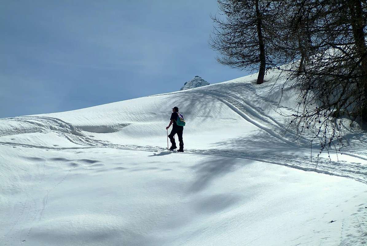
This wide area along the south side of the Aosta Valley from Pont Saint Martin to Aymavilles Municipalities with its magnificent medieval castle incidentally as the two previous Issogne, before Saint Vincent, and Fénis, before Aosta), a few Kilometres to the West of Aosta Town. Leaving aside "lower" of the same, which reaches from the mouth of the Pont Valley Champorcher, as savages and semi unknown vallons present here just lend themselves to hiking with snowshoes, we begin instead the valleys that date back from Champdepraz Vallon, or Walloon of the Lakes, Westward reaching common underlying Groups of Mount Avic, Tersiva-Grand Avert, Mount Emilius and the wide Pila Basin, before the entrance to the Valley of Cogne. These tours require a good knowledge of the area, because back vallons not very well known and, in some cases, very secluded; on the other hand it offers a nature still unspoiled isolation due to the winter snow brings out the most. Some "Minimum Route" are particularly aimed at beginners. In addition, this vast area Southeast provides an opportunity for various particular features such as a visit to the Regional Park of Monte Avic Champdepraz above, the Sanctuary of Saint Grat and the Hermitage of Saint Julien in Fénis, mines Servette-Chuc Saint Marcel (at the entrance to the Private Reserve of the Marquis Turati, ex a Former Hunting Reserve of Baron Beck Peckoz in '900) and to the Shrine of Saint Gratus in Pila Basin, above Charvensod/Gressan. In any case, it is required to comply with the Nature and the buildings on site. A Golden Rule is that your step is not a trace remains, while the Animals are not to be disturbed, or worse, annoyed; as you have come, go, taking away only memories and feelings of a beautiful day spent outdoors. To leave space for those who come after You ...
GENERAL NOTE: to see how, and this applies to the entire Valley of Aosta, a vast network of local roads generally followed by private dirt roads "interpoderale" covers the territory; the same lead to higher altitudes, or average between 1.600/2.000 metres. While the first, usually paved, are free transit, for the latter there are prohibitions poles with well exposed mentioning the details of the legal ban on same. Can not be covered by mechanical means, while another type of transition is allowed (mountain biking, snowshoeing, skiing or just walking). Not comply with this Regional Law entails fines rather high, typically imposed by the Rangers , while the same become very useful for trips with snowshoes; offering safe routes and not exposed to landslides or avalanches, and also would be a very good indication of walk for those who do not have other ideas or disregard the territory. In some cases reach up shares 2.500/2.600 metres, but doing so and going out to ' "open", outside the natural protection of forests, gradually lose this factor security. To note also the problem of parking at the beginning of the same, which does not permit the abandonment of the positions in the middle of the incapacity of passage for those who use them.
GENERAL NOTE: to see how, and this applies to the entire Valley of Aosta, a vast network of local roads generally followed by private dirt roads "interpoderale" covers the territory; the same lead to higher altitudes, or average between 1.600/2.000 metres. While the first, usually paved, are free transit, for the latter there are prohibitions poles with well exposed mentioning the details of the legal ban on same. Can not be covered by mechanical means, while another type of transition is allowed (mountain biking, snowshoeing, skiing or just walking). Not comply with this Regional Law entails fines rather high, typically imposed by the Rangers , while the same become very useful for trips with snowshoes; offering safe routes and not exposed to landslides or avalanches, and also would be a very good indication of walk for those who do not have other ideas or disregard the territory. In some cases reach up shares 2.500/2.600 metres, but doing so and going out to ' "open", outside the natural protection of forests, gradually lose this factor security. To note also the problem of parking at the beginning of the same, which does not permit the abandonment of the positions in the middle of the incapacity of passage for those who use them.
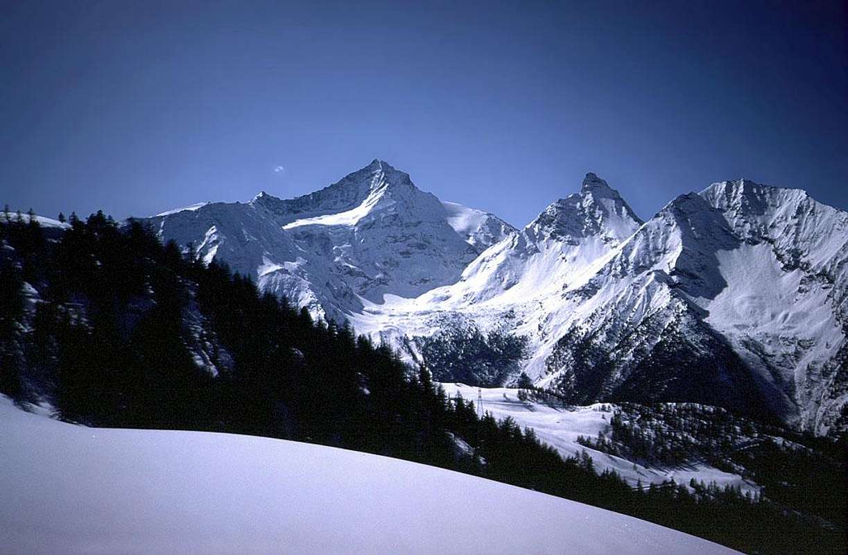
It reaches from Champdepraz (523m), Saint Marcel (630m), Grand Brissogne (827m), Pollein/Charvensod (575m, 746m), Gressan (603m), Jovençan (631m), Aymavilles (646m) Municipalities.
Middle Eastern Vallons (From Voella Hamlet to Pila Basin)
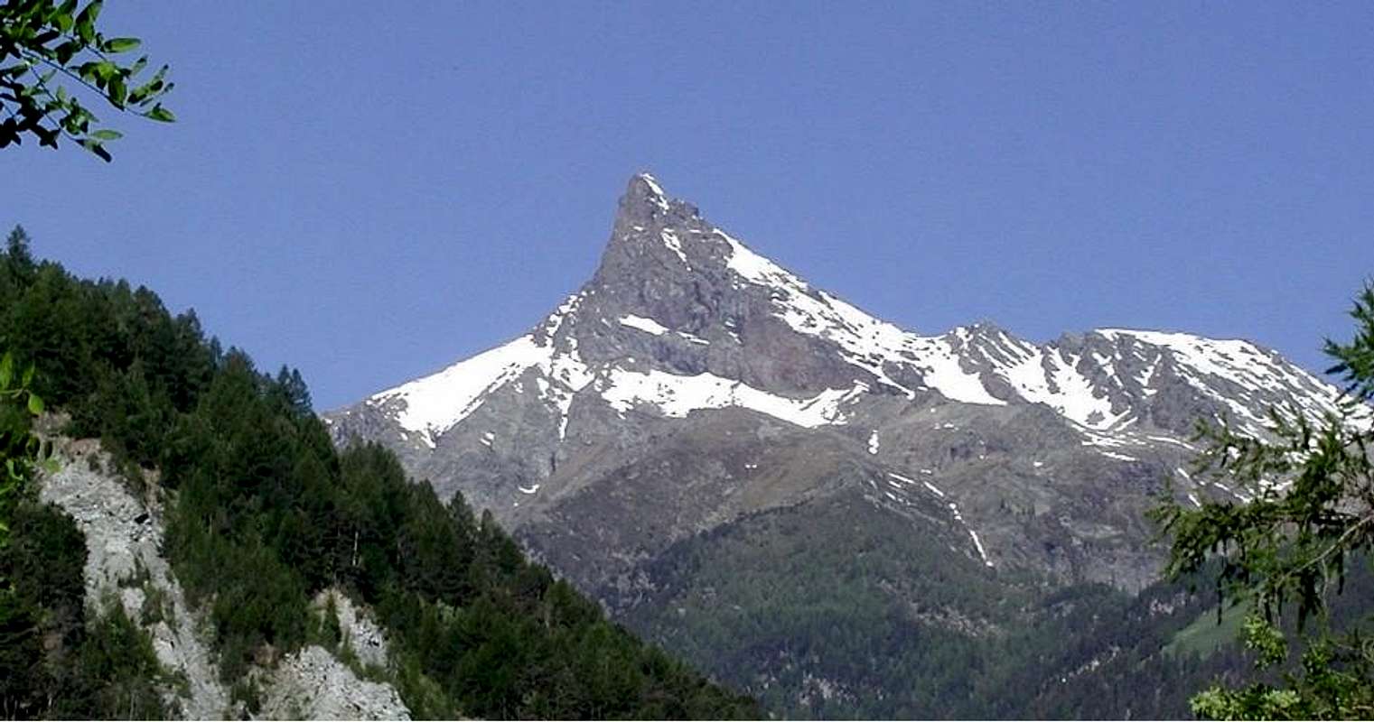
1) - Basic Itinerary b° 1: from Champdepraz Commune to Voella Hamlet (+; 1.307m), with Regional Road; from this to Prà d'Oursì Alp, trough path in Southwest (1.791m; M-; 2h'00/2h'30), below the "Fourchettes" (Forks) on Northeast Ridge of Mont Rouvì or Revic (2.922m) and in Southeast from Valmeriana Hill (2.281m) and Mont Barbeston (2.482m).
2) - Exceptional Via n° 1: from Saint Marcel Commune to Les Druges small Village (1.600m; fountain near a squared "rascard"), with Regional Road; from this in South towards Fontaine Froide (1.829m) Pasture, with path up to the dirt road. Through the last towards fork 1.885 meters with dirt in Southeast to Meye Alps (1.893m; near pond 1.866m) on Meye Tableland; after, pathless, through Southwest Crest to La Torrasse or Touriasse (1.895m; M-; 3h'30/4h'00).
3) - Exceptional Via n° 2: from Les Druges Alte (Upper; about 1.600 meters) to Fontanafredda, Bren (1.965m; source), Prapremier (2.010m; ruins) Alps, before with path in South, after dirt road in Southeast; crossing West through small path or not always obvious traces, to Corquet Désott Alp (semiruined; 2.146m; source);from this with path "more open" to Mont Corquet (+; 2.531m; M-; 5h'00/5h'15), through North Slope and final Est Crest or North-northwest Crest.
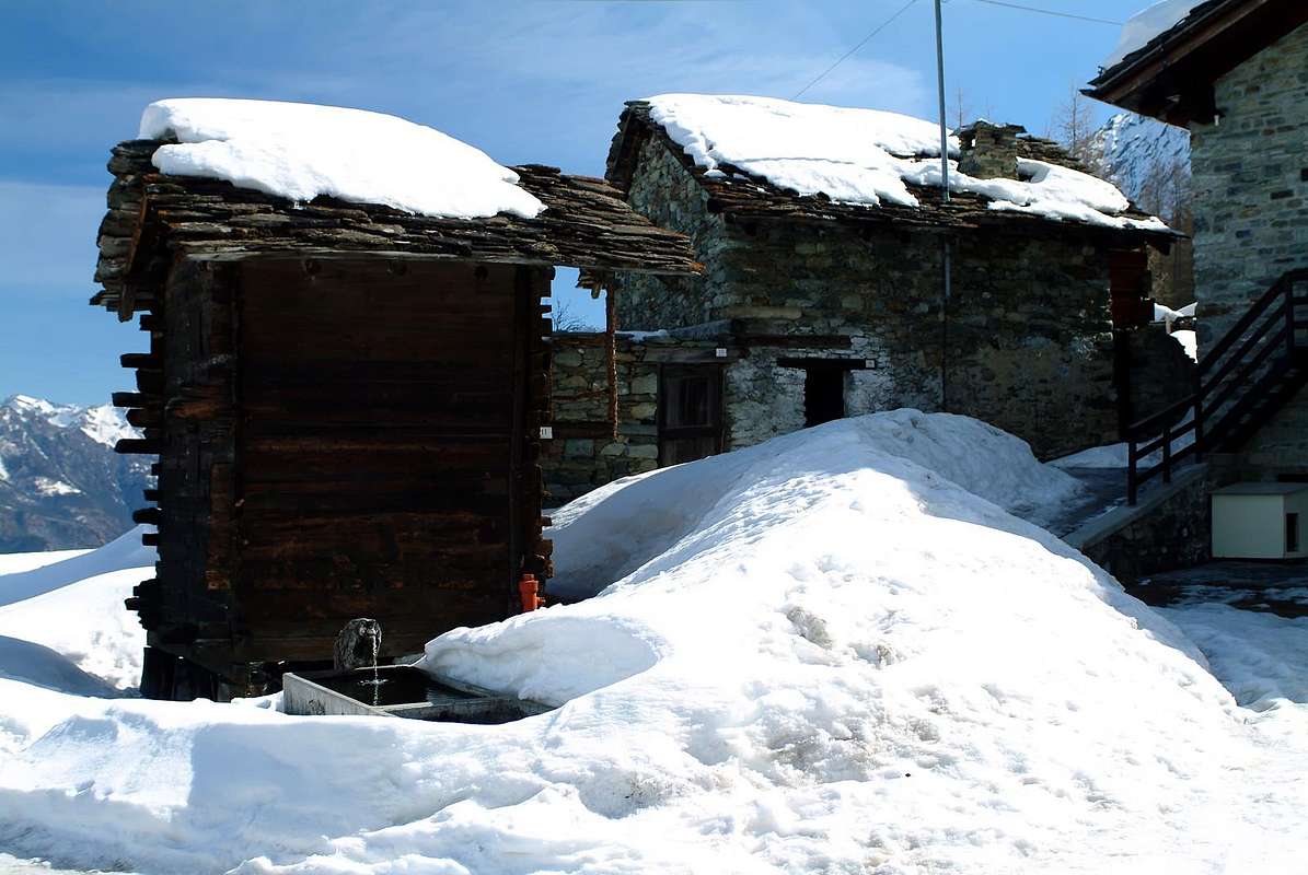
4) - Minimum Route n° 1: from Fénis between Le Perron (582m)/Pommier (614m) Fractions, with Municipal Road towards Champlan, Crou de Ban (926m), Le Pieiller de Sermoz (1.075m), Maison Longue (1.112m), Le Plany (1.174m) small Villages into Pieiller secondary Vallon to alternative around 1.215/20 merres below Le Pieiller Alpage (1.230m); with short dirt road in East to Le Coteau small Village hemi abandoned (1.234m; fountain in right just before the same); from this, with path in Northeast on Western slopes, passing near Saint Joseph Chapel, to Saint Julien Summit (1.384m; + Saint Grat Sanctuary; T; 1h'00/1h'15); descent in Southeast to Saint Julien Heremus (about 1.300m; T; 0h'30).
5) - Basic Itinerary b° 2: from High Les Druges Village in West towards Picnic Area, Pouria, (1.586m), Vargney Pastures to fork around 1.775 meters with path from Fontillon Alp (1.653m); from this in North, through private Reserve Turati dirt road and below Servette-Chuc Coppermines, to Eteley Alpage Alp (1.741m), fork 1.836 meters to Choulet Alp (1.821m; to Eastern Arpisson Vallon), Mulàc-Saint Louis Turati Hunting House (1.937m; fountain; M-; 3h'00/3h'15).
6) - Minimum Route n° 2: from High Les Druges Village to Area Picnic or from following "Magazzino", with private dirt road to abandoned Servette-Chuc Mines, through various paths into forest, after Vargney Alpage; numerous walkways reported to the various entrances of the copper mines; remains of miners' houses and old wooden cable cars. (1.810-1.819m; T; panneaux and variaous signals; 1h'15/1h'30), below Mont Roux (2.277m) Northwestern Slope and above the dirt road to Marquis Turati's Nature Reserve (steinbocks, Chamoises, marmots, hawks and great aigles).
Special Note: Do not enter the same as the support beams are rotten and crumbling, exposed to landslides of stones.
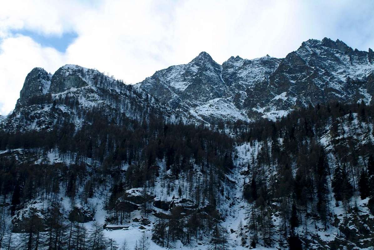
7) - Exceptional Via n° 3: from Grand Brissogne Commune (827m) to Gremonenche or Gramonenche (1.112m) with private dirt road; through path-muletrack from Larp (1.311m) towards La Vieille (1.615m), Le Tramouail (1.997m) Pastures and Alps. Crossing various small bridges above Les Laures Torrent (before ad after the Fontane Neire Arera) to following rocky promontory (Charrey Brothers/Norat little Chapel on top), through short descent, to Les Laures and Ernesto Ménabreaz Shelter (private but open) near Dessous Laures Lake (2.546m, 2.544m; D-; 4h'30/5h'30).
8) - Minimum Route n° 3: from Regional Road to Pila in altitude about 950 meters; from alternative in East into wood towards Reverier or Rayer du Tzat (1.019m), Reverier Dessous near Saint Joseph little Chapel (1.042m), Rongachet Bridge (1.113m) up Comboé Torrent to Rongachet small Village, through private dirt road (1.092m; T; 1h'15/1h'30).
9) - Basic Itinerary b° 3: from Rongachet Village, through farms private dirt road in East into forest leaving left (Northeast) the alternatives to Terre Blanche Dessous, Dessus, Chenaz or Chénoz also Tchino (1.015m, 1.064m, 1.017m) Pastures, in West towards Gorrettaz House (1.089m), La Barma or Barmes (1.255m) Alp and, further East in terminal part, to Martsaouchy Dèsot, Meitin (Middle) and Damon Alpages (1.349m, 1.362m, 1.416m; E-; 2h'00/2h'15), below North-northeast great Crest of Becca di Nona (3142m) and at the entrance of Western Arpisson very wild Vallon.
10) - Exceptional Via n° 4: from Martsaouchy Damon (Upper) Alp, through path, to Plan Croix ancient Alp (1.607m; ruins), Combué Alp (1.852m), Plan de l'Eitze Tableland (1.901m) and along Arpisson Torrent and crossing the same to outlet water neighbor Arpisson Inferiore (Lower) and Upper Alps (1.951m, 2.010m; F; 3h'30/4h'00 from main road to Pila), at the base of Emilius Sources and two Arpisson Glaciers below the North Wall of Monte Emilius (3.559m).
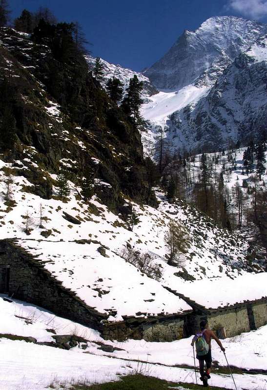
11) - Minimum Route n° 4: from Pila-Bettères near arrival of Cableway from Aosta (1.750m), below Lyon Noir Restaurant, and just below Perchu Dessus Alp (1.865m) to famous Saint Grat Sanctuary, with private dirt road into Vernaillère Forest; leaving right the fork to Saint Grat Alpage, reach the same (1.787m; T; 1h'15/1h'30; wooden benchs and tables). Possibility, through short descent to the East to reach Combatissière with its wonderful "rascards".
12) - Basic Itinerary b° 4: from Pila upper parking (1.850 meters around), through path with different possibilities, to Chamolé Cableway Upper Station (2.311m), Chamolé Loch (2325m; F; 2h'00/2h'15), below Testa Nera (2.820m).
13) - Basic Itinerary b° 5: from Pila Resort upper parking (1.850 meters around) to Grand Grimod (2.193m) Alpage, Grimondet Pasture (2.105m; F; 2h'00/2h'15), below the watershed Drinc (+; 2.663)/Pointe de la Pierre (+; 2.653m).
14) - Exceptional Via n° 5: from Grand Grimod Alp, through path in South towards Grand Grimod Dessus (2.332m; arrival of two ski lifts), Drinc Pass (2.565m) to 1) - Punta del Couiss (Tip of Blizzard; 2.611m; D-; 3h'45/4h'00 from Pila upper parking). Variant 2) -: from Pila, with dirt road, towards Gorraz Damon (1.962m), Chalechémoz (2.031m), Lap (2.076m) Alpages to Grand Grimod Dessus and preceding route. Variant 3) -: from Chalechémoz, with dirt road more to South, towards Champ Vert (2.071m) Pasture, Leissè Lake (2.114m) and Alp (2.126m), Leissé Damon (2.338m) Alp, connection in West with Grand Grimod Dessus and previous routes in terminal part. Variant 4) -: from connection, with dirt road in South, to fork 2.381 meters to Couiss Pass (2.637m), nearby Simone Facchinello "Arno" Bivouac (2.660m; always open) immediately under Couìss Summit (2.661m). Variant 5)-: from fork below Couiss Pass in Southwest to Piatta (Platform) di Grevon on the same watershed (2.752m; more or less the same time and difficulty for all Variants).
15) - Basic Itinerary b° 6: from Ozein-Dailleuy (+; 1.369m, 1.480m) Villages, with farms dirt road, to alternative 1.476 meters, Rompérein (1.867m), La Ruì (1.923m), Borbolet Viou (2.072m), la Pierre (2.077m) Alps (F; 2h'30/2h'45).

16) - Variant n° 1: from La Pierre Alp to fork 2.303 meters and from this, with path, a) - in East, on Western slopes, to de la Pierre Hill and Summit, through easy Southeast Crest (2.584m, 2.653m; M-; 2h'15/2h'30); in South, with small path and debris traces in final part, to b) - Punta Vadaille or Vedailles (2.338m; F+; 1h'00/1h'15 from La Pierre Alpage.
17) - Exceptional Via n° 6: from Ozein to Dailleuy, with Regional Road, and to Rompérein, Champchenille (2.212m) Pastures, with dirt road; from this Pointe de la Pierre, through path-traces on Northwest Slopes and easy North Crest with frequent avalanche danger in final part (2.653m; M+; 2h'45/3h'00; from fork after Dailleuy 3h'45/4h'00).
18) - Minimum Route: from Turlin Dessus (1.536m), between Aymavilles/Jovençan Communes, to Bren du Milieu (Midst; 1.642m), Alpetta (1.718m), Fernier (1.773m) Alps, Fernier, Plan de Leyvie Torrents, Posse Village (1.776m; T/E; 1h'45/2h'00), below Pila Resort. Walk fashion, round trip on farms road becomes a track in winter cross-country skiing.
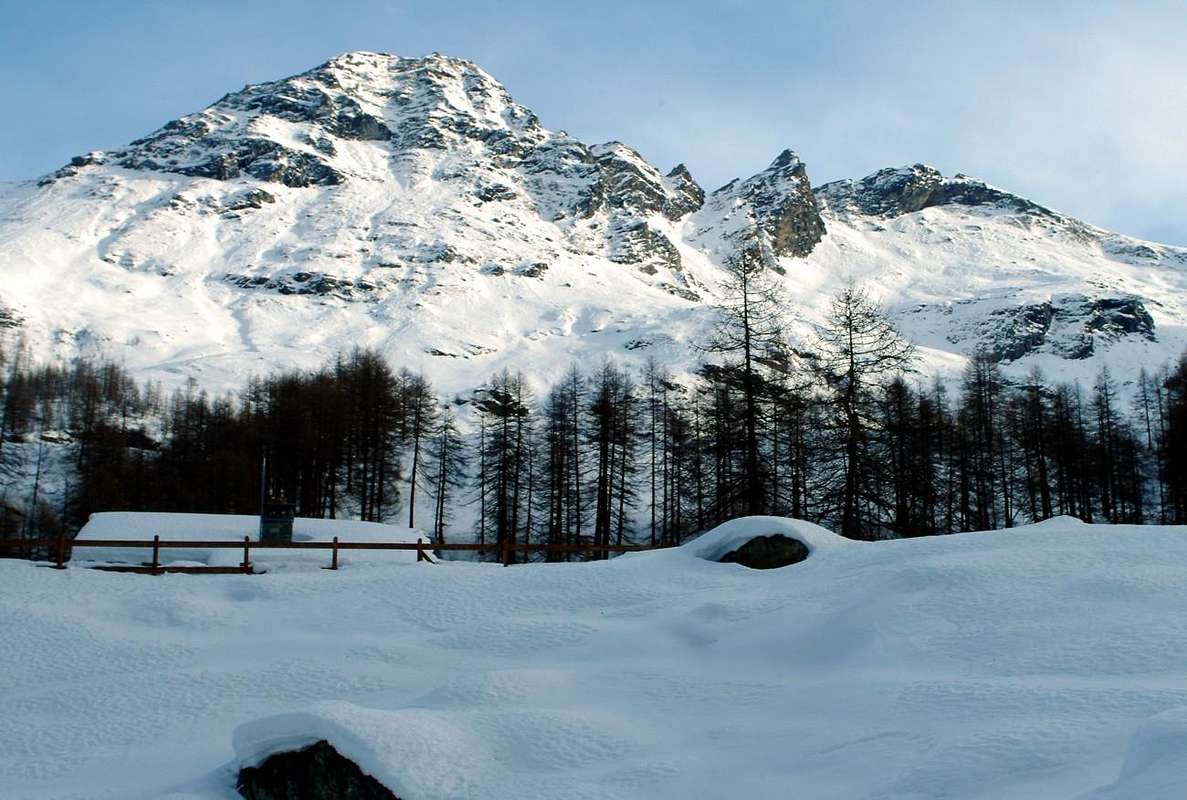
Questo largo settore percorre il lato Sud della Valle di Aosta dal Comune di Pont Saint Martin fino a quello di Aymavilles con il suo splendido castello medioevale (come daltronde i due precedenti di Issogne, prima di Saint Vincent, e Fénis, prima di Aosta), qualche Kilometro ad Ovest della stessa. Tralasciando la parte "più bassa" della medesima, che da Pont raggiunge l'imbocco della Valle di Champorcher, poiché i selvaggi e semisconosciuti valloni qui presenti poco si prestano all'escursionismo tramite le racchette da neve, iniziamo invece con il valloni che da Champdepraz, o Vallone dei Laghi, risalgono la Valle verso Ovest raggiungendo i comuni sottostanti i Gruppi dell'Avic, Punta Tersiva-Grand Avert, Monte Emilius e larga Conca di Pila, prima dell'ingresso nella Valle di Cogne. Queste gite richiedon buona conoscenza del territorio, anche perché risalenti valloni non molto conosciuti ed, in alcuni casi, veramente appartati; per contro s'offre una Natura ancora incontaminata che l'isolamento dovuto alla neve invernale esalta maggiormente. Inoltre questa vasta area Sudorientale offre l'opportunità di diverse peculiarietà come una visita al Parco Regionale del Monte, Avic sopra Champdepraz, al Santuario di San Grato ed all'Eremo di Saint Julien a Fénis, alle miniere di Servette-Chuc a Saint Marcel (all'ingresso della Riserva Privata del Marchese Turati, ex Riserva di Caccia del Barone Beck Peckoz nel '900) ed al Santuario di San Grato nella Conca di Pila, sopra Charvensod/Gressan. In ogni caso é richiesto il rispetto della Natura e degli edifici in loco. Una Regola d'Oro é quella che del vostro passaggio non permanga traccia alcuna, mentre gli Animali non van disturbati o, peggio, infastiditi; come siete venuti, andate, portando via solo i ricordi e le sensazioni d'una bella giornata vissuta all'aperto. Per lasciar spazio anche a chi vien dopo di Voi ...
ANNOTAZIONE GENERALE: da constatare come, e ciò vale per l'intera Valle di Aosta, una vasta rete di strade comunali in genere seguita da strade private interpoderale ricopre il territorio; le medesime conducono ad altitudini piuttosto elevate, ovvero mediamente tra i 1.600/2.000 metri. Mentre le prime, generalmente asfaltate, son di libero transito, per le seconde esistono divieti con paline ben esposte che citano gli estremi legali del divieto medesimo. Non possono essere percorse con mezzi meccanici, mentre é consentito altro tipo di passaggio (mountain bike, racchette da neve, sci o semplicemente a piedi). Non ottemperare a questa Legge Regionale comporta multe piuttosto elevate, in genere comminate dalle Guardie Forestali, mentre le stesse diventano di grande utilità per le gite con racchette da neve; propongono percorsi sicuri e non esposti a slavine oppure valanghe ed inoltre costituiscono già una valida indicazione di passeggiata per coloro non possedenti altre idee o misconoscenti il territorio. In alcuni casi raggiungono anche quote di 2.500/2.600 metri, ma così facendo ed uscendo all'"aperto", al di fuori della protezione naturale delle foreste, perdon progressivamente questo fattore di sicurezza. Da annotare inoltre la problematica dei parcheggi all'inizio delle medesime, tale da non consentire l'abbandono del mezzo in posizioni di impedimento del passaggio per coloro che le utilizzano.
ANNOTAZIONE GENERALE: da constatare come, e ciò vale per l'intera Valle di Aosta, una vasta rete di strade comunali in genere seguita da strade private interpoderale ricopre il territorio; le medesime conducono ad altitudini piuttosto elevate, ovvero mediamente tra i 1.600/2.000 metri. Mentre le prime, generalmente asfaltate, son di libero transito, per le seconde esistono divieti con paline ben esposte che citano gli estremi legali del divieto medesimo. Non possono essere percorse con mezzi meccanici, mentre é consentito altro tipo di passaggio (mountain bike, racchette da neve, sci o semplicemente a piedi). Non ottemperare a questa Legge Regionale comporta multe piuttosto elevate, in genere comminate dalle Guardie Forestali, mentre le stesse diventano di grande utilità per le gite con racchette da neve; propongono percorsi sicuri e non esposti a slavine oppure valanghe ed inoltre costituiscono già una valida indicazione di passeggiata per coloro non possedenti altre idee o misconoscenti il territorio. In alcuni casi raggiungono anche quote di 2.500/2.600 metri, ma così facendo ed uscendo all'"aperto", al di fuori della protezione naturale delle foreste, perdon progressivamente questo fattore di sicurezza. Da annotare inoltre la problematica dei parcheggi all'inizio delle medesime, tale da non consentire l'abbandono del mezzo in posizioni di impedimento del passaggio per coloro che le utilizzano.
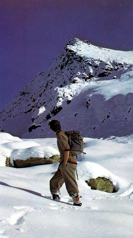
From Chatel Argent (Villeneuve) to Morgex

This vast area, which covers the slopes above the Municipalities of Villeneuve, Arvier, Avise, Derby and Morgex, it offers great opportunities for snowshoeing, at least certainly in the upper parts. Located at the end of the long watersheds between the Valleys of Savara/Rhêmes/Valgrisa, steep and illogical to pace yourself, presents a good chance in parts "lower" at the base of the same. In fact the high mountain pastures of the preferred destinations to be reached with the paths not very long, with no steep slopes and very suitable for beginners who want to try this tool. Unfortunately, the exposure to the North does not allow winter trips with continuous exposure to the sun, for which what needs to equip themselves with proper clothing. They are short trips that also allow a good chance of the car park at the start. They are therefore the alps the goals to be achieved, bearing in mind that the various dirt farms roads below offer additional chances. The objectives are then represented by the higher pastures, but also allow the numerous farm roads, with possibilities of alternative routes, to match the hike to a more touristy part with a visit to many small villages that retain their peculiarities or little churches, all dedicated to a saint, and votive chapels. Worth a visit especially les Combes, above Introd (little but splendid castle nearby Animals Reservoir), home of the summer holidays the last two Popes, Giovanni Paolo II° or Papa Wojtyla and Benedetto XV° or Pope Ratzinger. Do not forget to respect and in every case the local culture.
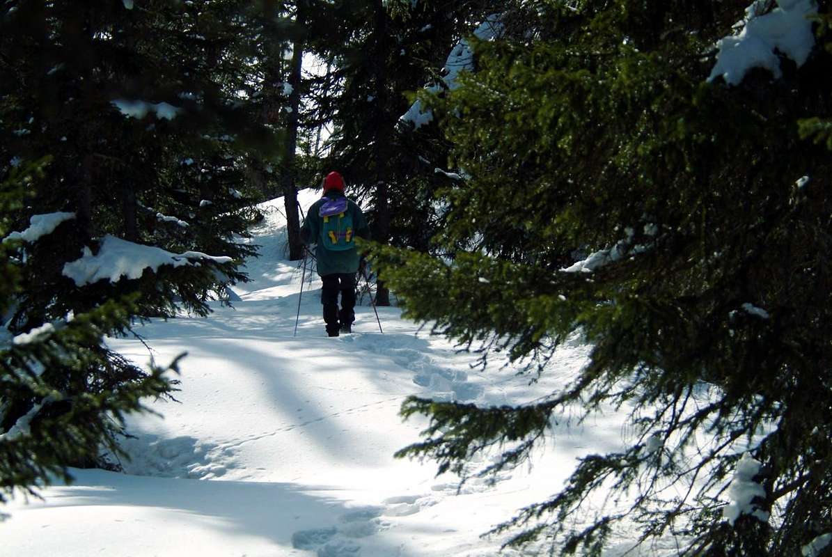
It reaches from Villeneuve (670m), Introd (973m), Arvier (776m), Avise (762m), Derby (827m), Morgex (920m) Municipalities.
Middle Western Vallons (From Villeneuve to Morgex Municipalities)
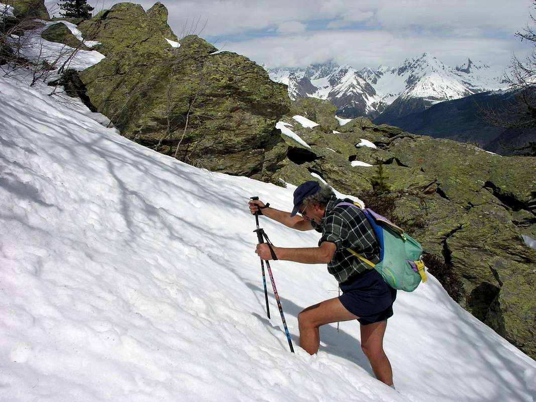
1) - Basic Itinerary n° 1: from Villeneuve Center towards just following alternative, Martignon (823m), San Bernardo (+ Saint Bernard Church), forks 870m near Bertola and 842m near Bruillen small Villages, with Municipal Road, to Champlong Dessus Hamlet (+ San Giocondo Church; 995m); continue, through dirt road in Southeast, to unnamed pasture 1.273 meters and Prorayé Alp (1.300m; F; 1h'45/2h'00), below Northern Slope of Mont de Poignon (1.567m).
2) - Minimum Route n° 1: from Introd Commune-Pont (Introd Castle; + Santa Sindone Church; 973m) to, with Municipal or dirt road, Buillet (1.030m)/Biolay (1.042m) small Villages (+ San Defendente Church; T; 0h'30/0h'40).
3) Minimum Route n° 2: from Arvier, with Regional Road, towards Crête (821m), Verney (894m), Petit Haury (+ Santa Margherita Church), alternative to Scierie (1.098m) to Grand Haury (+ S. Maria Maddalena Church; 1.178m; parking); from this, with Municipal Road, to Combes-S. Lorenzo (+ San Lorenzo Church; 1.339m; T; 0h'30/0h'45).
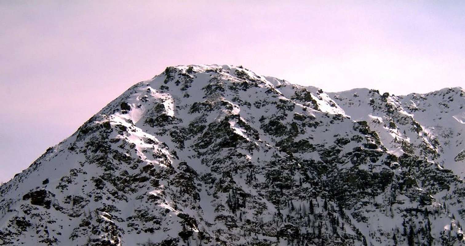
4) - Basic Itinerary n° 2: from Runaz Village (+ San Giacomo Church; 786/803m), with Municipal Road, to forks 956, 998, 1.115 meters, Freynoz, Marbrière (1.277m) Pastures; immediately before the end of private dirt road in following altitude 1398 metres, just before Pesse Alp (1.441m). From this last, with path in South and crossing the forest, to Faveroy Alp (1.649m) and, through small path on North Slope, to Monte Colombo (+; 1.802m; E/F+; 3h'45/4h'00), near the homonym Hill at the foot of two Punte di Faveroy (2.234m, 2.254m, GPS)/Hill (2.245m)/Torre Tonda (2.583m).
5) - Variant n° 1: from Runaz Fraction, through short Municipal Road just in South of the SR.26, with private road before to the West after in South to alternative 1.115 meters (to Freynoz Pasture, 1.120m) and, crossing Mont Blanc Wood, to following fork immediately after Marbrière Pasture (E/F; 2h'15/2h'30) and previous route.
6) - Basic Itinerary n° 3: from Derby to Chez Les Gontiers (839m) Village, with short Municipal Road; from this, path in South into wood between Picheu/Tillac Torrents, towards Créton (1.523m), Dailley (1.621m; source) Alps. Through two parallel secondaries small paths, to fork 1.823 meters with private road (start from Runaz Fraction) and Tillac Alp (1.848m; M-; 3h '45/4h '15), below Mont Broillat (2.352m)/Mont Large (2.216m) at the entrance in homonym vallon.
7) - Basic Itinerary n° 4: from Morgex Municipality, crossing the bridge above Dora Baltea with Regional Road in South, towards Liarey, Pre Villair, Mont Rotie small Villages, alternative (around 1.275m; signal no transit) just before Tirecagne Pasture (1.532m); from this, leaving West the Main Roasd to little Arpy Basin/San Carlo Hill, with dirt road in Southeast towards Costablinaz de Meitin Pasture (1.420m). Continue, with path, towards Damon (1.445m), Champex (1.519m) Pastures to Plan Rançon Alp (2.098m; M; 2h'30/2h'45 from fork before Tirecagne; 4h'30/5h'00 from Morgex).
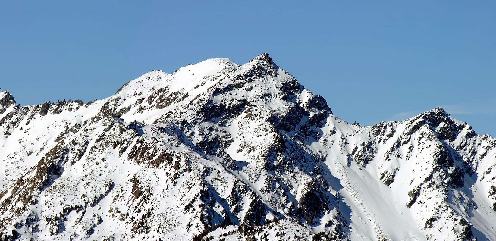
Questa vasta area, che ricopre i versanti Meridionali al di sopra dei Comuni di Villeneuve, Arvier, Avise, Derby fino a Morgex , non offre grandi opportunità per le racchette da neve, almeno sicuramente nelle parti più elevate. Posta al termine dei lunghi spartiacque tra le Valli di Savara/Rhêmes e Valgrisa, ripidi ed illogici da percorrersi, presenta invece buone possibilità nelle parti "più basse" alla base dei medesimi. Sono infatti gli alpeggi d'alta montagna le mete preferibili da raggiungere con dei percorsi non molto lunghi, privi di grandi pendenze e molto adatti per i principianti desiderosi di provare questo attrezzo; purtroppo l'esposizione a Nord dei medesimi non consente gite invernali con una continua esposizione al sole, per la quale cosa necessita di attrezzarsi con adeguato vestiario. Sono gite brevi che consentono, inoltre, buone possibilità di parcheggio delle auto alla partenza. Sono quindi le Alpi le mete da raggiungersi, tenendo presente che le strade poderali più dabbasso offrono ulteriori chances. Gli obiettivi son quindi rappresentati dagli alpeggi più elevati, ma le numerose poderali permettono pure, con percorsi alternativi, d'abbinare l'escursione ad una parte più turistica con la visita a molti villaggetti, mantenenti le loro peculiarità, oppure a chiesette, dedicate a qualche santo, ed a cappelle votive. Merita una visita particolare les Combes, sopra Introd (Bel castello presso la Riserva degli Animali), sede delle vacanze estive dei due ultimi Pontefici, Giovanni Paolo II° o Papa Wojtyla e Benedetto XV° o Papa Ratzinger. Non dimenticare e rispettare la cultura locale.
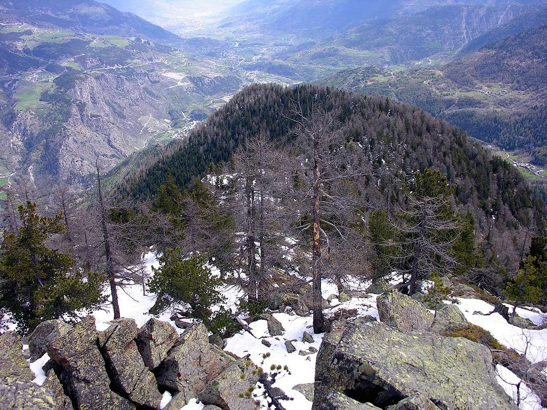
Arpy Basin (Pietra Rossa Loch/Colmet Area)
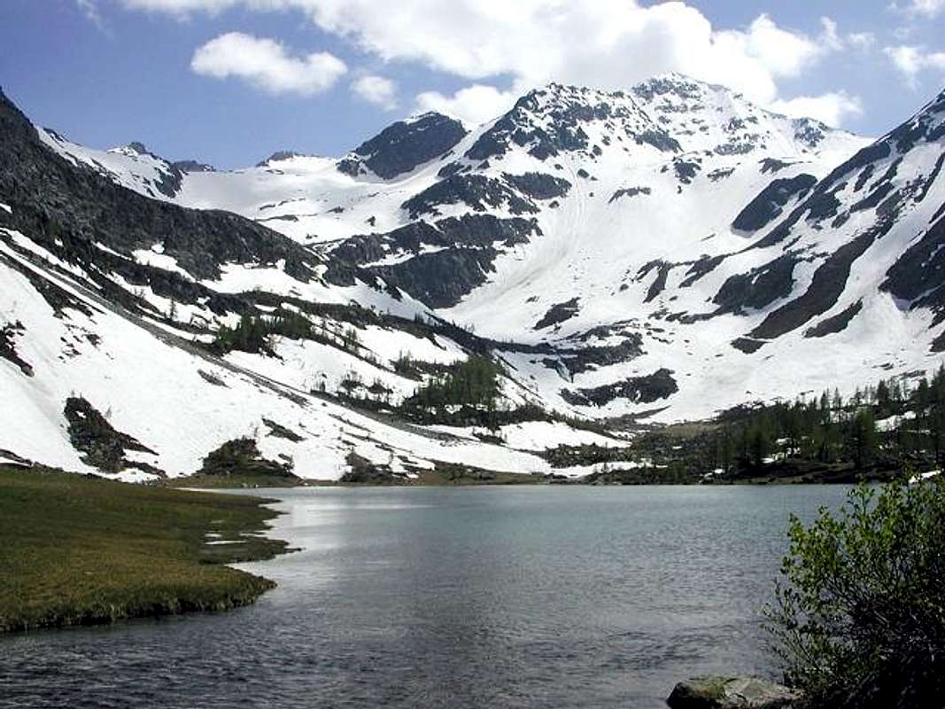
This small basin presents several aspects: a valley below the falls that come out from Lake Arpy, the San Carlo Hill that allows you to descend into the Valley La Thuile to the North with the same viewpoint consists of the rocky-wooded Arpy Head (large, spectacular views to Mount Blanc), a dense forest crossed by a large private dirt road that reaches the lake itself. But from this, crossed its Western shore towards the South, one reaches a completely different; turning left (East) is exceeded, a rocky promontory, flanked by a beautiful waterfall, reaching a plateau (from this point part of a railway to the above Lake Pietra Rossa). Going up in the South, through the rocky slabs immersed inside various snowfields, with semi-circular ride at the foot of Mount Colmet, we reach the same lake. Here the prospects are duplicated with the climb of Pass Ameran and Becca Pouignenta in the Northeast and climb, through a small glacier, the Hill of Comba Sorda or Cormet. These two additional variables completely change the "thickness" of the trip; in fact, these variants significantly lengthen the path making it more diverse, but also challenging. So as not to be underestimated is the stretch below the lake that in the end, with deep snow, it may present a problem; here the track by snowshoes becomes more difficult and requires some experience with this tool. However, before embarking on this type of tracks is better to do a little bit of experience with small base routes, such as, for example, and not listed here, which rises in the valley below the Arpy little Resort (1.670m) to San Carlo Hill. This advice certainly has value for all the trips exposed in other valleys, always using the criterion of gradual.
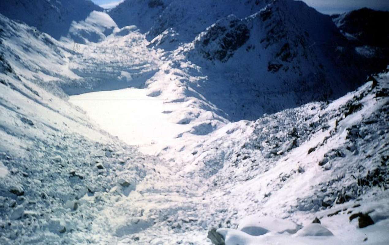
It reaches from Morgex Municipality (920m). Main tourist center San Carlo Hill (1.971m), Arpy little Resort-Notre Dame des Neiges (1.680m).
Middle Western Vallons (from San Carlo Hill to Mont Colmet Area)
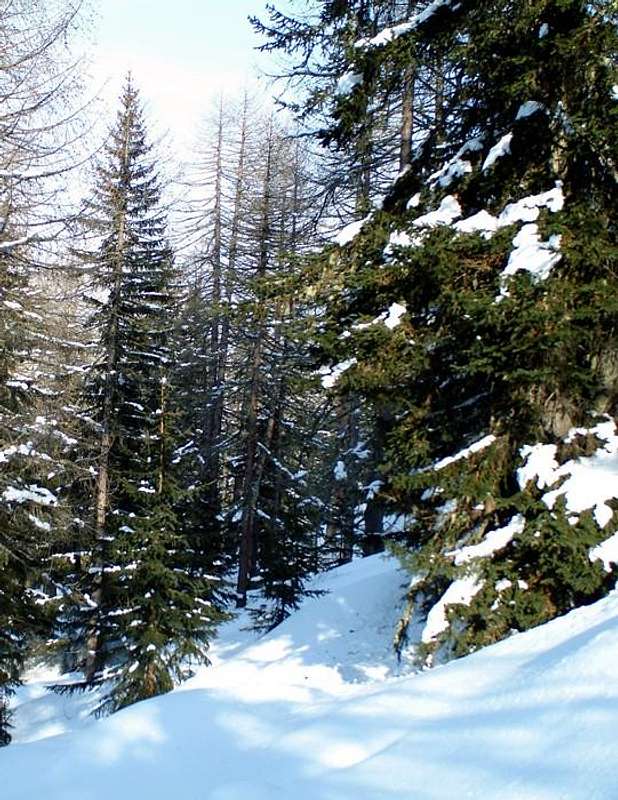
1) - Basic Itinerary n° 1: from Morgex, crossing the bridge over Baltea Stream, to Arpy Basin and San Carlo Hill, near "Genzianella Hotel", with Main Road in Southwest. From parking, immediately before the Hill, (1.971m; signal no transit; wooden fountain), through large dirt road into Plan de Buillet Forest, to Arpy Lake (2.063m), below Western Slope of Becca Poue(i)gnenta (2.825m). Along path in South neighbor West shores of loch to following desolated Plan d'Arpy; crossing Arpy Torrent in altitude 2.075 meters around and tourning East, to following rocky promontory over a beautiful waterfall (2.297m; departure of "Via Ferrata" to Pietra Rossa). Traversing two small effluents and subsequent groundstone tableland in South, go up to the source 2.485 meters below Northeast Ridge of Mont Colmet North Top (3.020m); through semicircular route on slabs with traces (snowfields possibility) to Pietra Rossa Lake (2.559m), below a small basin between Becca Pouignenta/Ameran Pass (2.680m)/Ameran Ridge/Serra Pass (2.758m)/Comba Sorda or Cormet Hill (2.836m)/Colmet (3.024m) (M-; 3h'30/4h'00).
2) - Exceptional Via n° 1: from Pietra Rossa Lake, doubling West the same, go up Northeast, through small path-traces amongst blocks and debris, to Ameran Pass (2.680m), below Ameran Crest; from this changing direction Northwest, through traces in grassy, debris and rotten rocks, to shoulder of Southern Antesummit and subsequent traverse to Becca Pouignenta Central and Northern Summits (2.797m, about 2.810m, 2.825m), in Northnortheast in respect of lake (M-; 1h'30/2h'15).
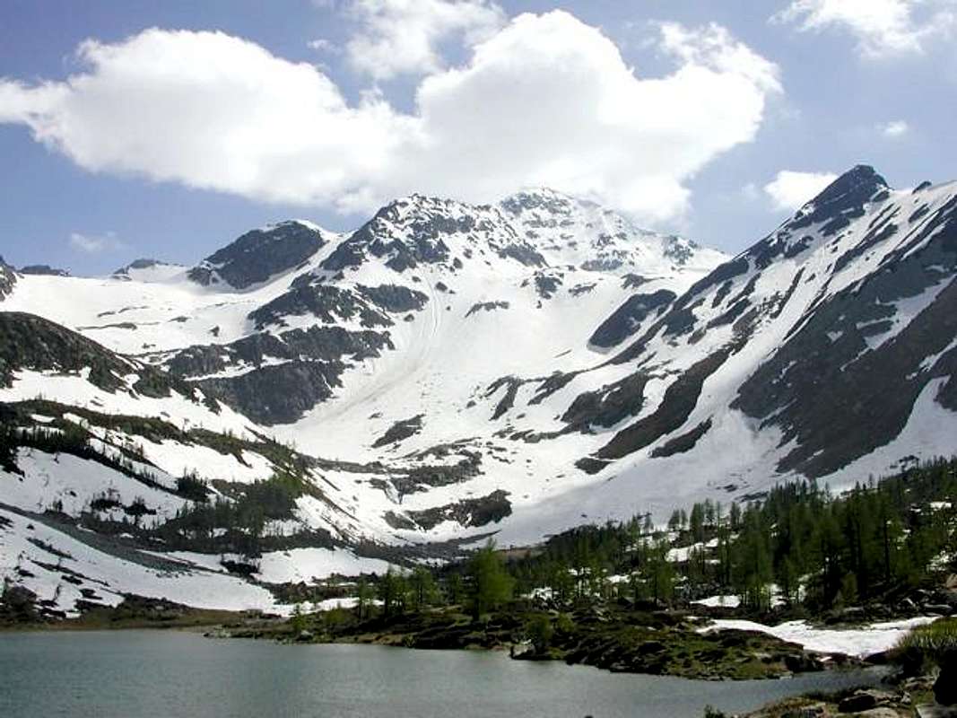
3)- Minimum Route n° 1 with Variant n° 1: from parking near "La Genzianella", leaving right (West) the deviation to Col de la Croix, just after Saint Maurice Alpage (1.994m; in West), to a) - Arpy Loch (2.063m) at the entrance of vallon, with same previous route (T; 1h 45/2h'00). Variant b) - : from cross after Saint Maurice (wooden panel indication of the way hanging from a tree), leaving left the path to lake, with path-muletrack in diagonal below the watershed; after a delicate traverse above a small basin with boulders (in the case of excessive steepness of the snowy slope is best to remove the snowshoes), changing Southwest direction to Croix's Hill (2.381m; E/F+; 2h'45/3h'15), near Brunet Shelter at the beginning of Colmet North Ridge.
4)- Exceptional Via n° 2: from Pietra Rossa Lake, South shore, crossing under a small crest in terminal part of Mont Colmet Northeast Ridge in point 2.628 meters (a short traverse on slab, not difficult but exposed and delicate), towards boring and flat moraines, or in the beginning of the season, extensive snowfields below East Face of Mont Colmet to little Cormet Glacier; climbing the same outline West (various hidden crevasses to the right or West) to Comba Sorda or Cormet Pass (2.837m), between Quota 2.975 meters on North Crest of Mont Lussé (3.055m)/Mont Colmet Southern Summit (M+; 2h '00/2h '15).
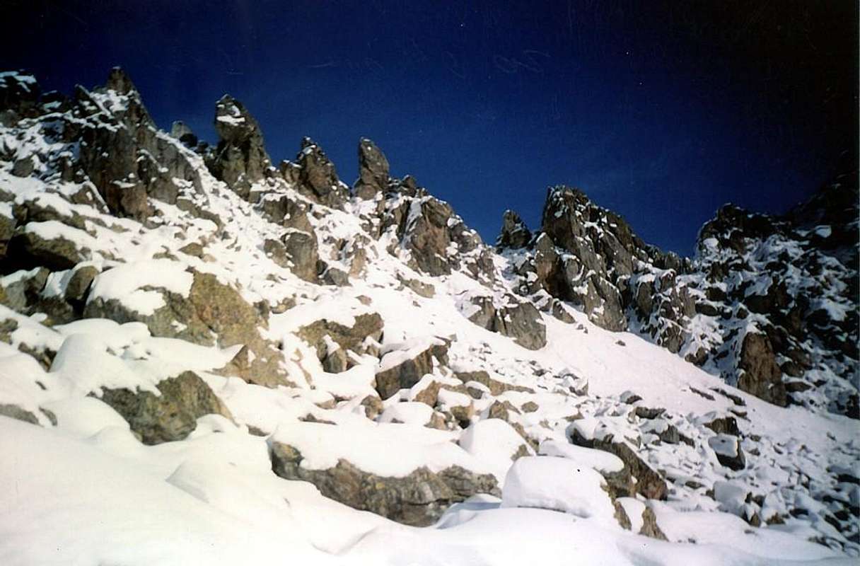
5) - Minimum Route n° 2: from "Genzianella" (Parking inside Hotel 1.880m), with short dirt road in Northeast to alternative 1.978 meters; continue North on same dirt road to Tête d'Arpy (2.022m) on rocky-wooded promontory with "belvedere" (T; 1h'00/1h'15; great views to Southern Slopes of Tré-la-Tetes, Mont Blanc, and Grandes Jorasses), above Pré Saint Didier/Morgex.
6) - Variant n° 2: from "Genzianella" Parking towards and after the fork between Saint-Maurice (1.984m)/Buillet (1.930m) Alps, reach Col de la Croix (2.381m; ruins; M; 2h'00/2h'30, at the beginning North Ridge of Northern Summit Mont Colmet (2.996m).
Questa piccola conca-bacino presenta diversi aspetti: un vallone sottostante le cascate che fuori escono dal Lago di Arpy, il Colle San Carlo che permette di scendere nella Valle di La Thuile con a Settentrione del medesimo il belvedere costituito dalla rocciosa-boschiva Testa d'Arpy (grande e spettacolare vista sul Monte Bianco), un bosco fitto attraversato da una larga strada poderale che raggiunge il lago medesimo. Ma da questo, percorsa la sua sponda Occidentale verso Sud, si raggiunge un'area completamente diversa; piegando a sinistra (Est) si supera un promontorio roccioso, affiancato da una bella cascata, raggiungendo un plateau superiore (da questo punto parte una via ferrata verso il soprastante Lago di Pietra Rossa). Salendo invece a Sud, tramite banconate rocciose immerse dentro a nevai, con giro semi circolare alle falde del Mont Colmet, si raggiunge il medesimo lago. Da questo punto le prospettive di salita si sdoppiano con il Passo di Ameran e la Becca Pouignenta a Nordest e con la salita, tramite un piccolo ghiacciaio, del Colle di Comba Sorda o Cormet. Queste due ulteriori variabili cambiano completamente lo "spessore" della gita; infatti queste due varianti allungano sensibilmente il percorso rendendolo più vario, ma anche impegnativo. Così é altrettanto da non sottovalutare il tratto sottostante al lago che nel finale, in caso di neve alta, può presentare qualche problema; il tracciato con le racchette diventa più difficoltoso e richiede una certa esperienza con l'impiego dell'attrezzo. Comunque prima di avventurarsi su questo tipo di tracciati é meglio fare un poco di esperienza con piccoli percorsi di base, come quello, ad esempio e qui non elencato, che sale nel sottostante vallone dagli Alpeggi di Arpy (1.670 m) al Colle San Carlo. Questo consiglio ha sicuramente valore per tutte le gite esposte anche nelle altre vallate, utilizzando il criterio della gradualità.

High Valley & Courmayeur (Veny & Ferret Valleys)
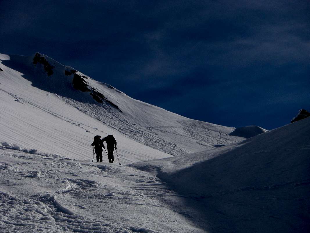
These two valleys at the foot of Mount Blanc Mountain Chain are the paths on the bottom of the same towards the Refuge Elisabetta Soldini at the end of Val Veny, just below the Col de la Seigne, and Elena in the opposite or Ferret, just before reaching the ' hill of the same name. In the first of these trips are those recommended shorter and aimed at the Shrine of Notre Dame de la Guérison, in front of the mighty Glacier Brenva below the homonym Southeast Face of Mount Blanc, and the Mont Blanc Refuge below the area of the Hill Chécrouit and Mount Chétif, the latter as the Blanc, the emblem of the little Town of Courmayeur. Although this trip is feasible, although not considered here, due to the difficult end in the presence of snow, on short but rocky terminal crest. From all these places you can see the South Side of Mount Blanc with its reddish pillars that stand in the midst of glaciers blue, often surrounded by clouds phantasmagoric; same goes with the attainment of Lake Combal at the entrance of the Vallon of the Lex Blanche. The path of the latter, with the achievement of the refuge, is aimed at a far more advanced in the season times. Identical applies to the Elena in the path below the crest of the border that links Grandes Jorasses to Mount Dolent (amongst Italy/France/Switzerland); here are the most popular targets the achievement of the Alpe Arp Nuova, contract Arnouva or Alp New, and in the two Refuges Walter Bonatti at the beginning of the Vallon of Malatrà (Lavachey; discouraged, however, the achievement of the Malatrà Hill because dangerous) or his two pastures and the Giorgio Bertone Shelter (from Planpincieux) to the Mount of the Saxe, near the homonym alp. For this last is also possible crossing with a nice downhill in opposite Val Sapin above Villair Courmayeur, but the organization itself requires logistics for transport. Also, do not forget your camera, because over time the memories fade away and "Bianco" will not always be there for You.
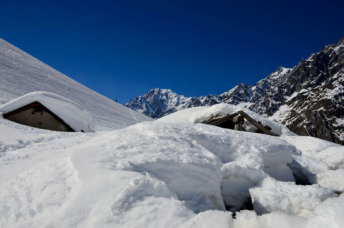
It reaches from Courmayeur-la Villette to Val Veny (1.198m) or from Courmayeur-la Palud to Val Ferret (parking 1.370m).
Val Veny & Val Ferret
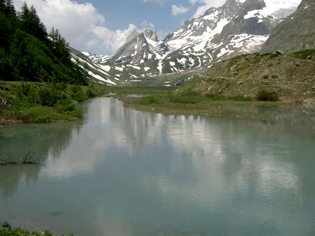
1) - Basic Itinerary n° 1: from Courmayeur (1.198m) towards Pont des Chèvres (1.226m; Bridge of Goats), and from this with Southwest direction to Notre Dame de la Guérison Sanctuary (1.444m; small parking); continue West, with Municipal in asphalt Road, and towards Lassy Dèsot/Perthud Villages (1.489m), Aiguille Noire Camping (1.526m) below Dzerottaz Dèsott Village (1.523m; departure of the homonym ski run), Gabba, Chalets du Miage (1.572m), La Visaille Cave (1.656m) reach Plan de Lognan Alp (1.676m; M-; 2h'30/3h'00), below Guido Monzino Refuge (2.561m) at the foot of very wild Southern Slope Mont Blanc Chain.
2) - Exceptional Via n° 1: from Courmayeur to La Visaille/Plan de Lognan Alp, with previous route; from this to Bar Combal (about 1.950 meters) and below the Lake Combal (2.020m); from this to an alp (2.035m) and Refuge Elisabetta-Soldini, through dirt road along Veny Doire (2.197m; M-; 4h'30/5h'00), below Pyramides Calcaires/Aiguille des Glaciers/Aiguille de Tré-la-Tetes.
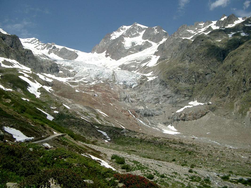
3) - Minimum Route n° 1: from Notre Dame de la Guérison to following triple fork near Plan Ponquet; through the more Southern ramification continue Southeast, always with dirt road, to little Monte Bianco Refuge (1.666m; E/T/F; 1h'15/1h'30).
4) - Basic Itinerary n° 2: from Courmayeur-la Palud (1.370m) to subsequent parking (1.412m; in Northwest fork to Velà Chapy Hamlet 1.467m, below Dent de Jetoula 3.306m); leaving left the last same, continue Northeast with Regional Road and towards Montitaz (1.550m), Planpincieux (1.593m) Hamlets, Tronchey-Golf Club (1.620m), fork to Praz Sec du Milieu and Damon (1.653m; below Southeast Face of Grandes Jorasses), Lavachey (1.640m; below Aiguille de l'Eveque 3.258m), Arnouva or Arp Nouva Dèsot (Low New Alp; 1.769m) Villages, through same route (1.769m); F; 2h'30/3h'00), under the range from Great Jorasses Walker Summit (4.208m) to Little (3.849m)/Aiguille de Leschaux (3.759m)-Mont de Greuvettaz (3.684m)/Aiguille de Talèfre (3.730m).

5) - Exceptional Via n° 2: from Arnouva, through dirt road along the Ferret Doire on valley floor or with diagonal path on midst hill to Elena Refuge (2.062m; F; 1h'30/2h'00), neighbor Praz de Bar(d) Pasture and below Aiguille de Triolet (3.874m)/Mont Dolent (3.669m)/Mont Grapillon (3.576m)/Ferret Hills (2.540m, Great 2.531m) and Tête (2.714m)/Pointe de Combette (2.761m).
6) - Basic Itinerary n° 3 and Variant n° 1: from Lavachey Hamlet to following alternative (1.697m; in Southwest short time to Frébouge or Fréboudze Village); instead continue Northeast on main road up to the small bridge 1.695 meters above a mini pond. Abandoning right (South) the first path to Bonatti Refuge, go Northeast with a mule-track to two hairpin bends 1.851, 1.890 meters; from this last, completely changing direction in South-southeast, reach Giué Dèsott Alp (Low; 2.007m), below Mont Charfière (2.827m) into Malatrà Walloon and below Malatrà Hill. From pasture, with same route through path and crossing Malatrà Torrent in altitude about 2.035/40 meters, to Malatrà Désott Alp (2.056m) and nearby Refuge Walter Bonatti (2.025m; E/M-; 2h'00/2h'15), amongst Mont Quichette (3.043m)/Malatrà Hill (2.928m)/Aiguille d'Artanavaz (3.071m)/Aiguille de Malatrà (3.142m).
Longer and Higher Variant n° 1: if you want to extend the hike higher, continue East-southeast through a secondary path over the torrent to Gioué Damon Alp or Upper (around 2.200 meters); through short connection in South, crossing the Malatrà Torrent, briefly reach the Malatrà Damon Alp (2.213m), below Tête entre deux Sex also Tête entre deux Sauts (Head between two Jumps or Cliffs; 2.729m) and at the end of Northwestern Buttress of Grande Rochère (3.326m; EE/M; 2h'45/3h'00).
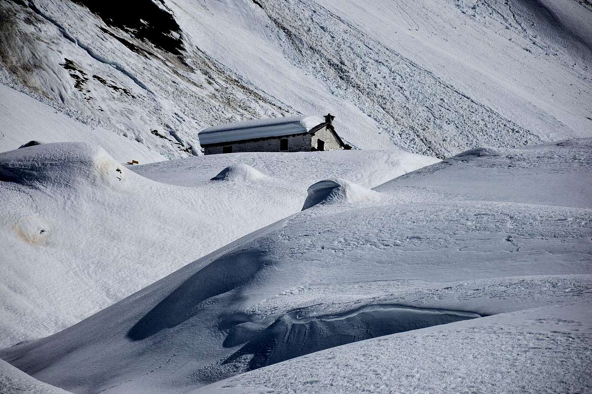
7) - Lower and more Southern Variant n° 2: from Malatrà Dèsott continue on the first path or Alta Via number 1, more in South, to Damon (2.213m; M; 0h'50/1h'00 in more), below Tete de Sécheron (2.880m) and North Wall of Grande Rochère.
8) - Basic Itinerary n° 4 with descent Variant n° 3: from the alternative after Planpincieux-Camping Grandes Jorasses, small bridge in altitude around 1.600 meters before Pont small Village (1.606m) with dirt road, path concomitant, to Leuchey Dèsott or Lower Pasture (1.929m); from this, always path Alta Via number 1, in short time reached Leuchey Damon or Upper. Continue, always Southeast through a long diagonal below Mont de la Saxe and progressively tourning more in East on much steep slopes to Giorgio Bertone Refuge (1.946m; F+; 1h'45/2h'00), near Praz de la Saxe Alp (1.991m) at the end of Testa Bernarda (2.534m)/various Summits of Mont de la Saxe (2.403m, 2.333m, 2.348m, 2.311m, 2.251m, 2.227m) South-Southwestern watershed.
Descent Variant n° 3: from shelter (splendid views to Mont Blanc) descent possibility, same path, in Val Sapin, Villair Hamlet.

Queste due valli ai piedi della Catena del Monte Bianco presentano dei percorsi sul fondo delle medesime in direzione del Rifugio Elisabetta-Soldini in Val Veny, appena sotto il Col de la Seigne, ed Elena nell'opposto o di Ferret, poco prima di raggiungere l'omonimo colle. Nel primo di questi le gite consigliate sono quelle più brevi e rivolte al Santuario di Notre Dame de la Guérison, di fronte al possente Ghiacciaio della Brenva, ed al Rifugio Monte Bianco sottostante la zona del Colle Chécrouit e del Mont Chétif, quest'ultimo, come il Bianco, emblema della Cittadina di Courmayeur. Anche questa gita é fattibile, anche se qui non considerata perché non semplice con neve nella parte finale. Da tutti questi posti si può ammirare il Versante Sud del Monte Bianco con i suoi pilastri rossicci che si stagliano in mezzo a colate di ghiaccio azzurro, spesso avvolti da fantasmagoriche nuvole; stesso discorso vale con il raggiungimento del Lago Combal all'ingresso del Vallone della Lex Blanche. Il percorso di quest'ultimo, con il raggiungimento del rifugio, si rivolge ad una stagione ben più avanzata nei tempi. Identico discorso vale per il Rifugio Elena nel percorso al di sotto della cresta di frontiera che lega le Grandes Jorasses al Mont Dolent; qui gli obiettivi più popolari sono il raggiungimento dell'Alpe Arp Nouva, contratto in Arnouva o Alpe Nuova, e nei due Rifugi Walter Bonatti all'inizio del Vallone di Malatrà (da Lavachey; sconsigliato comunque il raggiungimento del colle perché pericoloso) o ai suoi due alpeggi ed al Rifugio Giorgio Bertone (da Planpincieux) al Mont de la Saxe ed alpe. Per questo é inoltre possibile una bella traversata con discesa in Val Sapin sopra il Villair di Courmayeur, ma la stessa richiede un'organizzazione nella logistica per i mezzi di trasporto. Inoltre non dimenticate la macchina fotografica, perché nel tempo i ricordi tendon a svanire ed il Bianco non sarà lì in eterno per Voi.
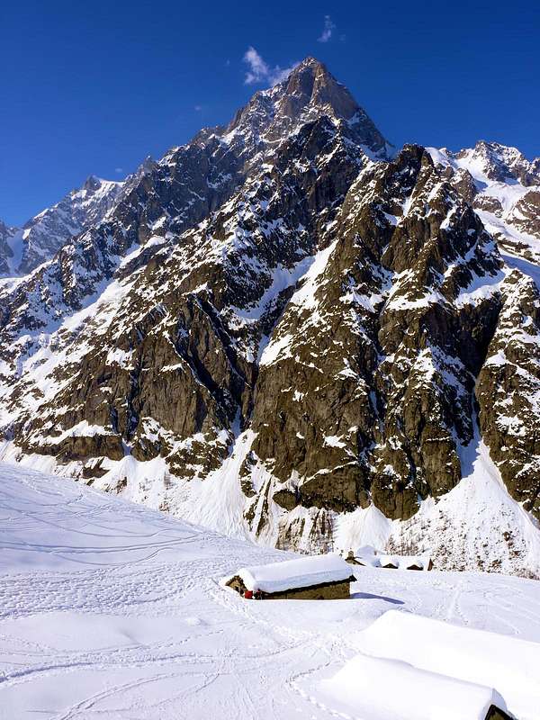
Northern Balconies to Augusta Praetoria Salassorum
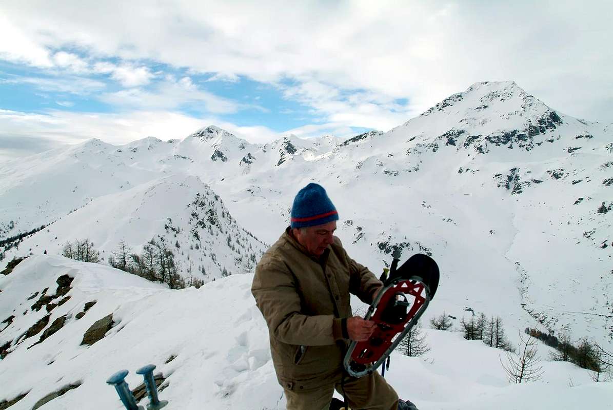
Surely this area than the North Baltea, that from the Mont de la Saxe-Val Sapin (Courmayeur-Villair ) reaches the furthest reaches Eastward mountain above the Town of Aosta, and offers many opportunities for pleasant trips with snowshoes. Exposure to the South of the walloons, which follow one another at right angles in a regular manner, promotes transformation in advance of the snow with the consequent possibility of early excursions compared to other areas . So "outputs" allow easier not only the path to the bottom of the same walloons, but also on the uphill side slopes and, above all, the achievement of several top where the location is facing south (Court de Bard, Fetita two Summits, Aouillette, Pointe Leissé, Becca France, Tops Met(z) and Chaligne Cross). Even the tracks at lower altitudes, however, allow nice trips, easy walks, always with the greatest exposure to the sun, which is not a minor thing. Deserving the achievement of certain pastures and visiting many villages overlying the "Road of the Salassians" with his street that cuts halfway up the hill from Aosta to Saint Pierre. A curiosity in addition, with a view of the New Thouraz, the remains of the huge landslide that at six o'clock in the morning of July 6th, 1564 buried the old Village of Torah with all its 600 inhabitants. There are many peaks most "internal" and little known of the Pennine Alps admirable from these locations (Grand Rochère, Aiguille of Malatrà and of Artanavaz, Great Creton and nearby Creton of Midi, Head of Serena, Monte Rosso, Fallère etc.); reaching the peaks mentioned prior the view stretches then "in the round" of the whole Aosta Valley.
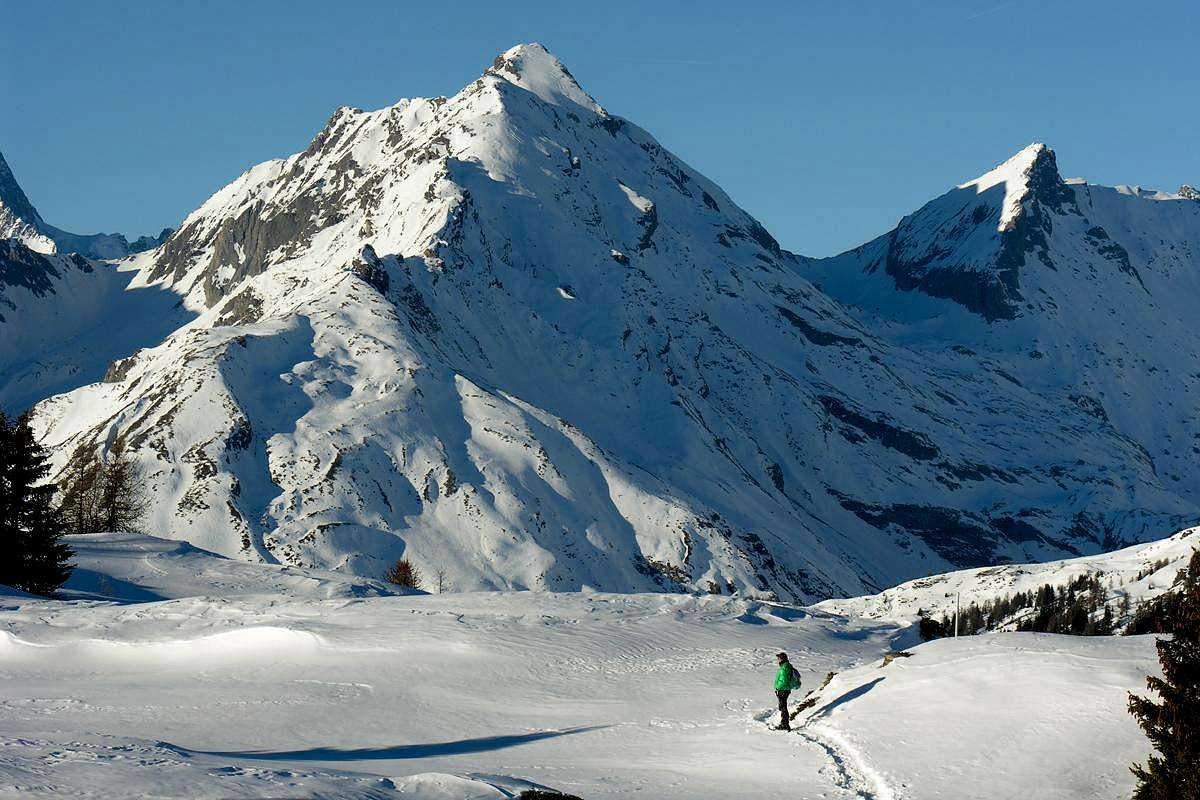
It reaches from Courmayeur-Villair Dessus (1.282m), Morgex (920m), la Salle (1.001m), Saint Pierre (661m), Sarre (657m) Municipalities.
Valdigne & Middle Western Vallons (From Courmayeur Resort to Aosta Town)
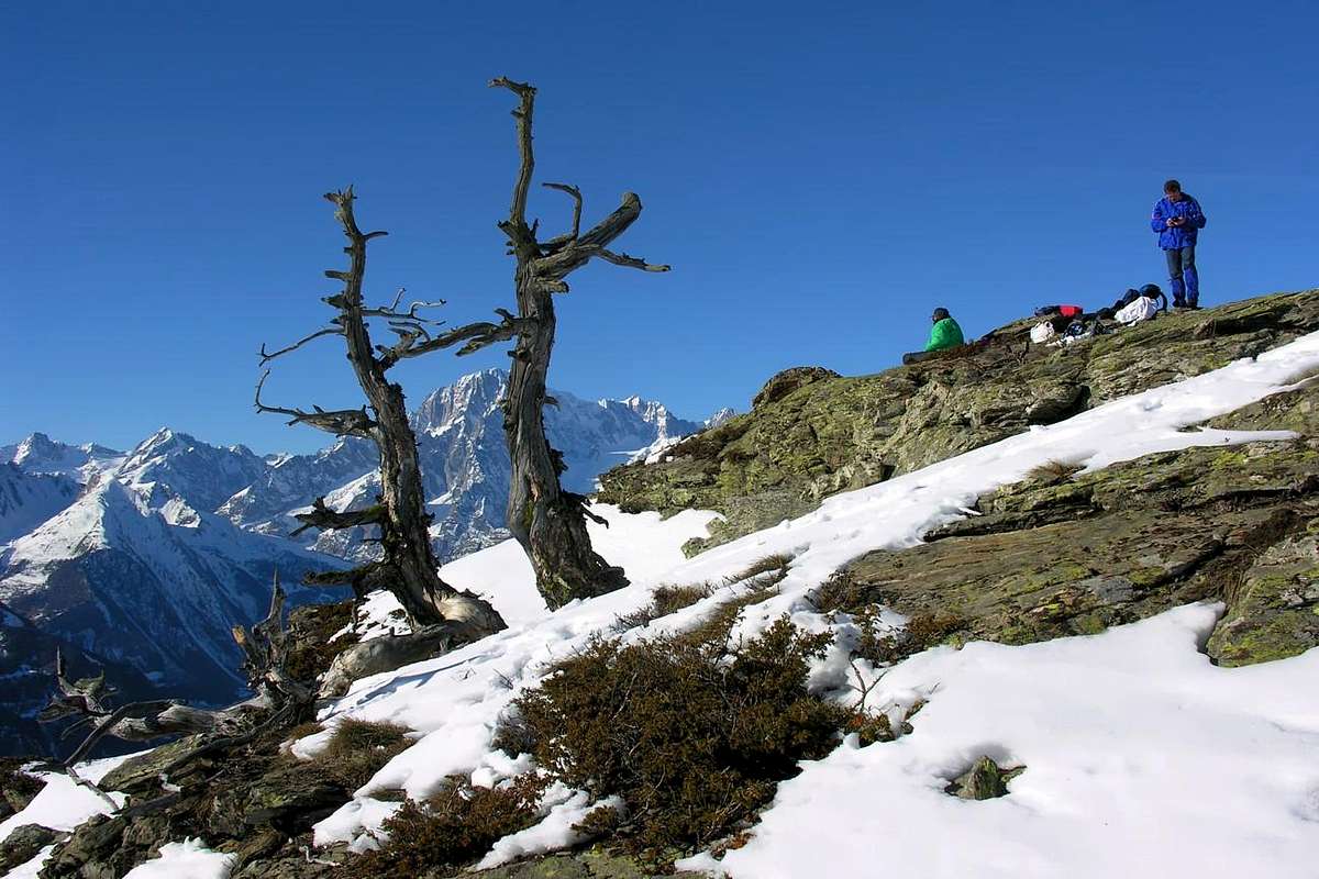
1) - Basic Itinerary n° 1: from Courmayeur to Villair Dessous Fraction (1.282m; fountain) with Municipal Road; from thys, with dirt road, towards Villair Dessus (signal no transit), crossing the Torrent de Sapin, forks 1.409 and 1.470 meters at the beginning of path to Refuge Giorgio Bertone (1.946m). Go to cross 1.547 meters (with secondary path from Trap 1.505m), always in Val Sapin; continue to hairpin bend 1.711 meters and, changing in West, to shelter, near Praz de la Saxe Alp (1.991m) (M-; 2h'30/3h'00).
2) - Basic Itinerary n° 2: from La Salle, with Municipal Road, towards Challancin (1.610m), Cheverel, Morges (1.829m), Planaval Hamlets (1.750m; parking in bottom; signals no transit). From this, through dirt road in North-northeast passing Maison Blanche Pasture (1.871m) to Rantin (2.333m; source), at the entrance on Serena Vallon; abandoning right the same and doubling West the hanging promontory go to Praz Barlet (2.358m), Bonalé or Bonalex (2.340m; source) Alps, in Upper Planaval Vallon.
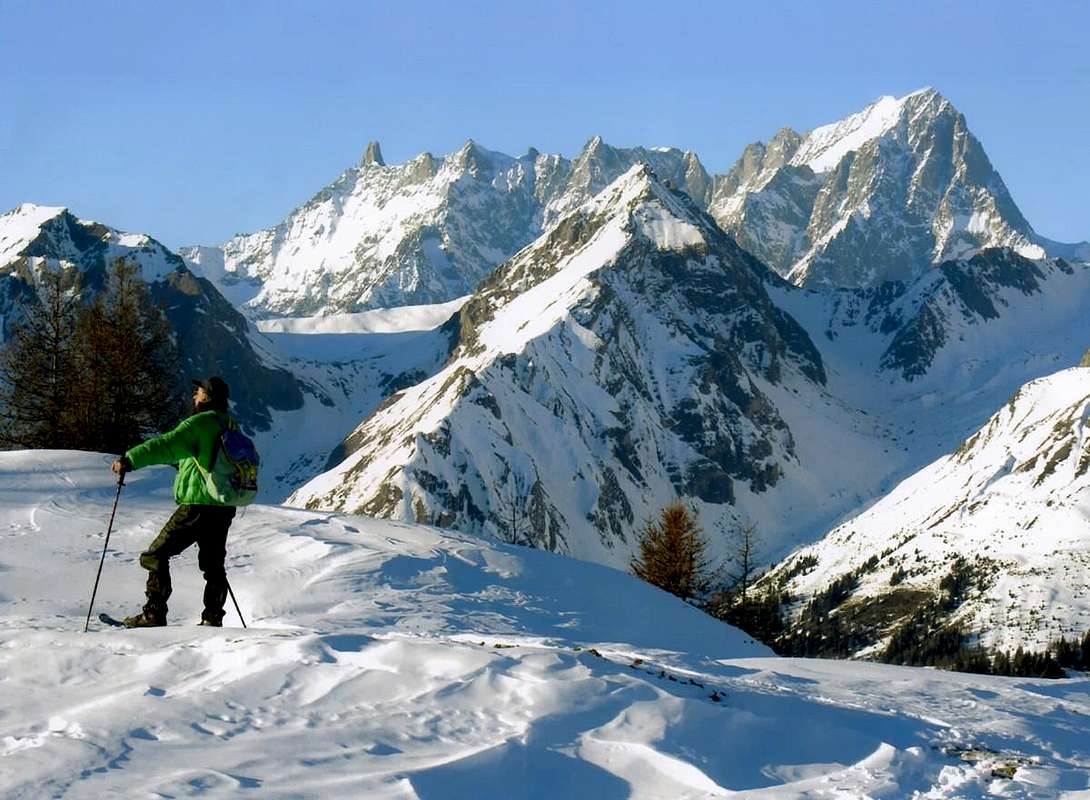
3) - Basic Itinerary n° 3 & Exceptional Via n° 1: from Challancin (1.610m), with private dirt road, to Ponteilles (1.741m) and Arpilles (1.862m; fountain) Pastures; continue East-southeast, through path diagonal route into forest and crossing two Torrents des Arpilles and Charvaz, reach with a final diagonal, almost level route, the Court de Bard Pass (2.178m). From this in South to: a) - Court de Bard Summit (2.261m; F+; 1h'45/2h'15), through path on long tableland to rocky-wooden promontory in final part.
Also in North to b) - Boromein Hill (2.314m), Punta Fetita or Petita Southern Antesummit (2.448m), North Top (*; 2.623m), short descent to c) - Felita Hill, all with small path on rocky-grassy watershed (2.557m; M-; 1h'30/1h'45 from Court de Bard Pass).
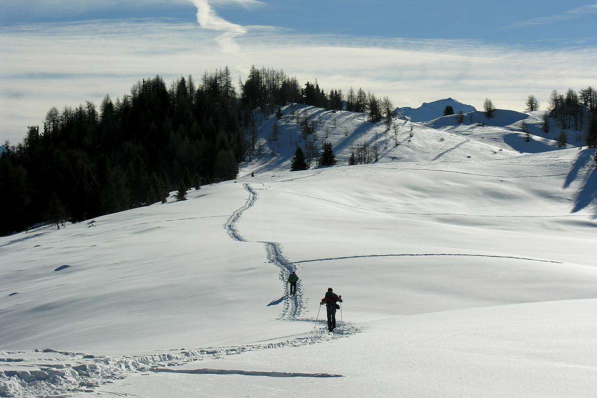
4) - Minimum Route n° 1: from Saint Pierre towards Pommier (783m), Champretavy (946m), Rumiod, alternative immediately after Persod (+; 1.351m), Ravoise (1.321m), Chaillod (+ San Rocco Church; 1.218m), Clavel (+ San Pantaleone Church; 1.418m), Cerlogne (+ S.S. Trinità Church; 1.580m) to Vens small Villages (+ San Leonardo and Bernardo Church; 1.750m), with Regional Road in West-northwest. From this last to Joux Pond (+ Madonna delle Nevi Chapel; 1.907m) and Joux Saddle (1.930m; two signals no transit just after the hill). Through short descent to Chateler(t), Neuves, Maisonnettes (1.782m) Pastures and, along Ru of Vens and Vertosan Torrent, to Or de Breuil Alp into Vertosan Vallon (T/E; 2h '30/2h '45), with same time for the return.
5) - Exceptional Via n° 2: from the Joux Saddle, towards alternative 2.187 meters (arrival of the path from Barmaveraz Pasture 1.894m) and following point 2.305 meters, circumventing some rocks to the right, to L'Aouillette or Oilletta Summit (+ Black Virgin little statue; 2.616m; M+; 3h'15/3h'30), through small path, traces on easy Southwest Crest (special flowers on via).
6) - Variant n° 1: from Vens Village, with dirt road in Northeast into forest of Goìlle Comba, towards alternative 1.809 meters and following small path to Barmaveraz Pasture; also continue with dirt road in Northeast to Letanaz Dèsott and Damon Pastures (1.860m, 1.906m). From this upper, with North direction, towards Setseun Alp (2.153m; another small path from Barmaveraz), Montagne Sécheron or Setseun (2.153m), point 2.318 meters; continue and, crossing Gaboe Torrent, briefly through small path, concomitant with the dirt road, to Chaz Creuse or Tsecreousa Alp (2.398m; T/E; 2h'15/2h'30), below Aouilletta Summit.
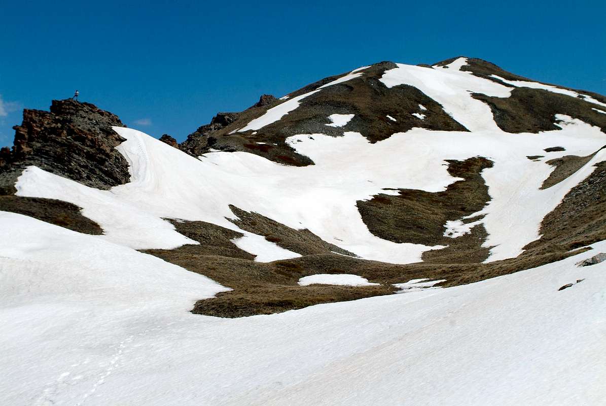
7) - Variant n° 2: from Saint Pierre-Chateau Sarrod de la Tour towards Pommier (783m), Champretavy (946m), Chantel, Rumiod, Rossan Villages, alternative in East after Persod (+; 1.351m), Petit Sarriod and Grand (+; 1.444/5m), Gerbore (+ San Giacomo; 1.633m), Vetan Dessous (+ San Bernardo and Lorenzo 1.670m) and Dessus (Village-Resort 1.737m; no transit signal), with Regional Road. From this, through private dirt farms road in West, towards Genevrine (1.784m) Pasture and in North to Chatalanez (1.857m; minipond), Toules (.1944m), Grand Arpilles (2.133m) Alpages; changing route in West-northwest towards forks 2.133, 2.237 meters to Chaz Creuse or Tsecreosa Alp, below the watershed Leissé/Quota 2.734m/Aouillette (2.398m; T/E; 2h'00/2h'15).
8) - Exceptional Via n° 3: from Chaz Creuse Alp, through rare traces in grassy to North and crossing twice the Gaboe Torrent, to saddle 2.623 meters and Punta Leissé or Leysser (2771 m; D-; 4h '00/4h '30 from Vetan Village), through West Crest.
9) - Basic Itinerary n° 4: from Vetan-Granzettaz (1.780m) to Grand Arpilles, saddle above Montagna Vergioan and on Southeast Crest of Punta Leissè, crossding over de la Crete Torrent to Le Crotte Alp (2.385m; old typical stone houses; F+; 3h'00/3h'15).
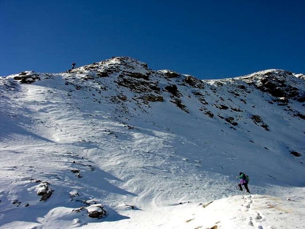
10) - Variant n° 3: from Le Crotte Alp, through secondary path in Northeast and crossing Verrogne Torrent in altitude 2.498 meters between two ponds, reach an above rocky-grassy promontory; going up on West slope to Lake Morto (Dead; 2.634m), below West Face of Mount Fallère (3.061m), through a steep path in final part (caution in ice presence; E/M-; 1h'45/2h'00).
11) - Exceptional Via n° 4: from Grandzette Village to a) - passage 1.750 meters about), Loé Alp (1.986m), Tsa de Comba (+; 2.277m), saddle 2.251 meters, Quota (2.348m), through traverse on Northwest Crest and terminal crossing to saddle 2.221 meters, Becca France (2.312m; F+; 3h'00/3h'15). Also b) - Variant: from Loé Alp crossing in East through forest by before dirt road on Plan de Neyret de Verrogne, after moraine to rocky promontory on final part of South Crest and Summit (M-; 2h'45/3h'00).
12) - Exceptional Via n° 5: from Sarre Commune, with Regional Road, towards Plèod (775-803m), Vert Dessous and Dessus, Vareille (+ San Pietro and Madonna degli Angeli Chapel; 1.062m), Caillod/Ville sur Sarre/Remondet (+ San Pantaleone Church; 1.212m), Moulin/la Cort (1.202m), alternatives 1.225, 1.301 meters, Salet, Chavalançon (1.426m) small Villages to Thouraz Dessous and Dessus Hamlets (+; San Teodulo Chapel; 1.593m, 1.652m; Horses ranch). From Thouraz (ancient Thora), with dirt road in North (signal no transit immediately after in altitude 1.638 meters) towards following fork (in East dirt road to Vignon Metz 1.725m), alternative 1.680 meters, Moron (1.769m), Combroz (1.953m), La Comba (2.073m), Frumière (+; 2.062m), Morgnoz (2.026m), Chaz de Morgnoz (2.271m) Alpages, at the end of dirt farms road. From this last, through small steep path directly and briefly in North, to Fallère Loch (2.415m), below Mount Fallère Southeast Face or Normal Route (3.061m; F+; 3h'00/3h'15).
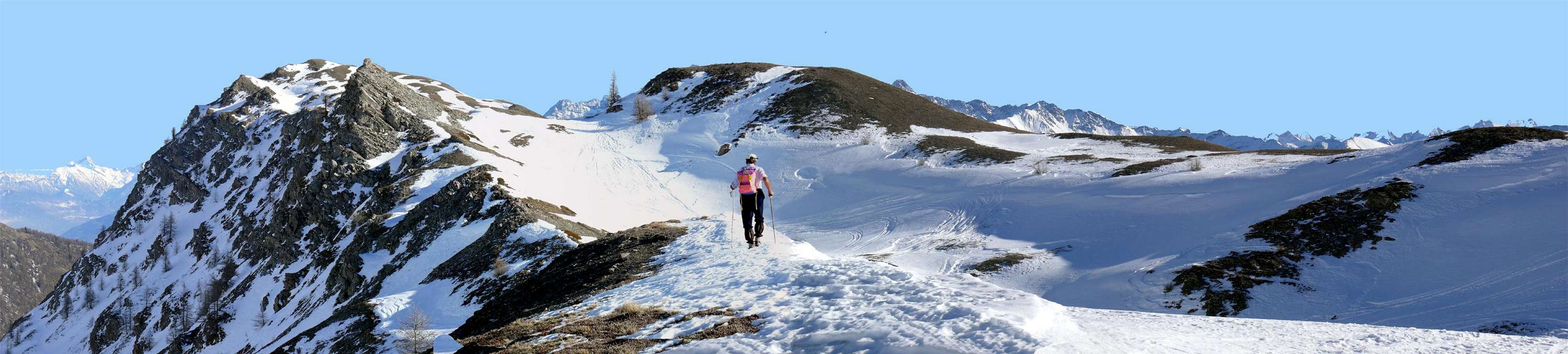
13) - Basic Itinerary n° 5: from the second fork between Bois (Wood or, better, Forest) du Ban and Bois de Thouraz, just after Thouraz Dessus (1.652m), with dirt road before in East and after in North, towards Vignon (1.794m), alternative 1.794 meters, Condemine de Metz (1.876m) Pastures, fork 1.866 meters, Moulin Alpage (1.880m), Berrio di Bat (1.954m), crossing Conclonaz Torrent, winding road 2.140 meters neighbor la Tsitra (2.176m) to Tsa de Metz (2.251m; T/E; 2h'15/2h'30), in Comba de Labe and below Pointe de Metz (2.553m)/Metz Hill (2.492m)/Pointe de Chaligne (+; 2.608m) Eastern and Southeastern easy slopes.
14) - Exceptional Via n° 6: always from cross after Thouraz Village with preceding route to Tsa de Metz; from this, through path in West into a small and narrow vallon, to Metz Hill (2.492m) and from this in South to: a) - Metz Summit (2.492m), with easy track on North Crest; in North to b) - Punta Chaligne (the both F+; 4h'00/4h'30) through Southern grassy slopes.
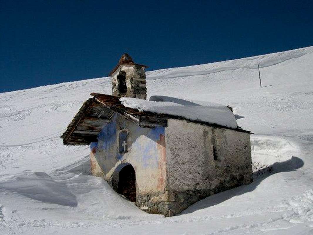
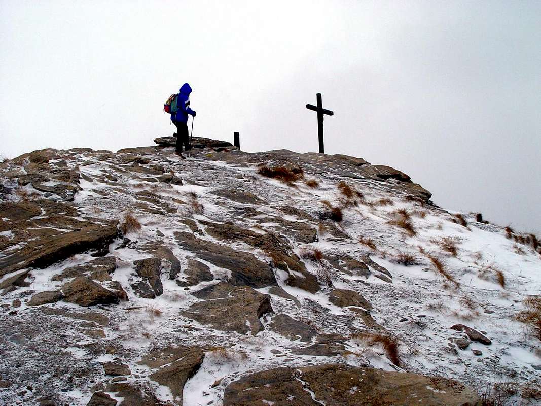
Sicuramente quest'area Settentrionale rispetto alla Dora Baltea, che dal Mont de la Saxe-Val Sapin (Courmayeur-Villair) raggiunge verso Oriente le estreme propaggini montuose sopra la Città di Aosta, offre numerose e pacevoli opportunità per gite con le racchette da neve. L'esposizione a Mezzogiorno dei valloni, succedentisi perpendicolarmente in modo regolare, favorisce la trasformazione in anticipo della neve con la conseguente possibilità d'effettuare precocemente le escursioni rispetto ad altre zone. Quindi le "uscite" permettono più agevolmente non solo il percorso del fondo dei medesimi valloni, bensì anche la salita sui pendii laterali e, soprattutto, il raggiungimento di diverse sommità laddove il percorso é rivolto a Sud (Court de Bard, Punta Fetita, Aouillette, Punta Leissé, Becca France, Punte di Met e Chaligne). Anche i tracciati alle altitudini inferiori comunque permettono belle gite e facili passeggiate, sempre con somma esposizione al sole, che non é cosa di poco conto. Meritevole il raggiungimento di alcuni alpeggi e la visita di molti villaggi sopastanti la "Via dei Salassi" con la sua strada che taglia a mezza costa la collina da Aosta fino a Saint Pierre. Una curiosità inoltre, con vista della Nuova Thouraz, dei resti dell'immane frana che alle ore sei mattutine del 6 Luglio 1564 seppellì il vecchio Villaggio di Thora con tutti i suoi 600 abitanti. Molte sono le cime "interne" e misconosciute delle Alpi Pennine ammirabili da queste località (Grande Rochère, Aiguille di Malatrà e d'Artanavaz, Gran Creton e Creton de Midi, Testa di Serena, Monte Rosso, Fallère ecc.); raggiungendo le cime citate antecedentemente la vista spazia poi "a tutto tondo" su tutta la Valle.
 |
 |
 |
 |
 |
From Aosta to Lower Valley

Then from the Aosta Valley goes to the City of Ivrea and Turin, first with East direction and then to Chatillon, Saint Vincent, South East towards reaching the Piedmont Region. The Northern Slope is very extensive and offers a series of valleys that reach the perpendicular from North to South (Saint Barthélemy, Valtournanche, Ayasse and Gressoney or Lys); in addition to these, small vallons, but above all, large terraces (left to mark the retirement of the great Balteus Glacier that from Mount Blanc reached with his left lateral moraine, known as "the Serra", the gates of the City of "Eporedia") are exposed to the sun before the passing of Baltea. These high basins (Blavy, Sénevé, Comba Dèche with this that wedges and more parallel to the Valley of Saint Barthélemy, Hill Nus and plateau Verrayes/Saint Denis, High Hill Chatillon under the Mount Zerbion) offer many and varied opportunities for hiking snowshoeing or just walking. In addition to Verrès with its castle square and the "Lower Valley", the same is considerably reduced in number, as the area that reaches Pont Saint Martin becomes somewhat rocky lending itself more to climbing sport. Also here is something, but it's more explorers and do not want to take away the joy of discovery ...
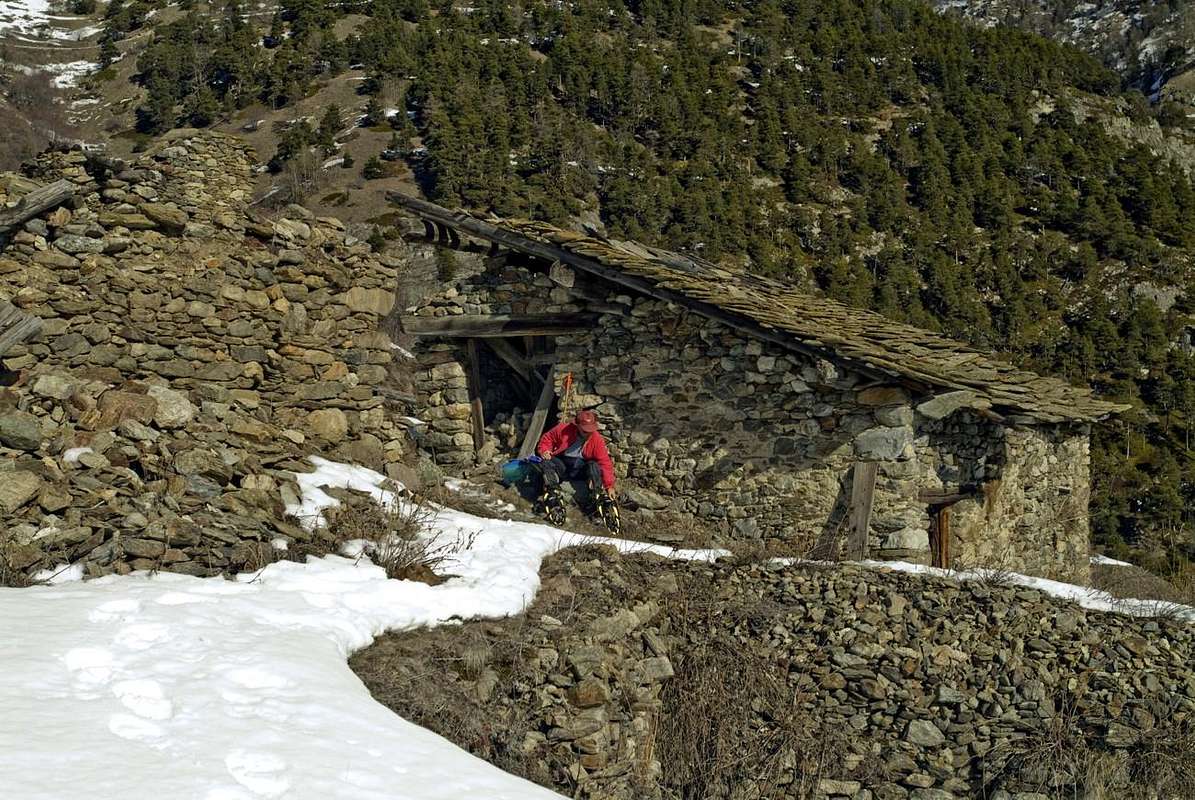
It reaches from Aosta (583m), Saint Christophe (620m), Quart (548m), Nus (535m), Verrayes (1.026m), Saint Denis (803m), Chatillon (549m), Saint Vincent (575m), Emarese (1.048m), Verrès (390m) Municipalities.
Central & Middle Eastern small Valleys (From Aosta to Verrès Towns)
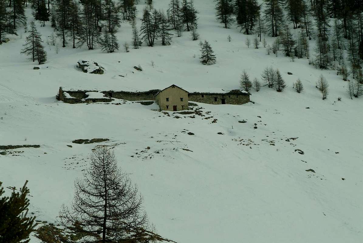
1) - Basic Itinerary n° 1 with Variant n° 1: from Saint Christophe-Prevot (about 640m; + Santa Anna Church), reached by Regional Road from Aosta Town, towards Fontanalle Fraction (649m), alternative 692 meters neighbor Passerin d'Entrèves Castle and cross 730 meters to important Sorreley Village (790m; San Gottardo Chapel); from this, with Municipal, towards Veynes Fraction (805m; San Rocco Chapel), Cote de Sorreley, main point alternative before Lumian (+; 1.025m; *** in East deviation to Cretallaz, Jeanceyaz, Morgonaz Villages at the entrance on Senevé Comba). Always on asphalt road in Northwest, to Parléaz or Parleyaz Village (1.274m; S.S. Margherita and Bernardo little Church; Napoleonic Chimney on an old house); continue in homonym Comba and, crossing Parleyaz Torrent, through four large winding road reach Blavy Hamlet (1.475m; fountain just under San Bernardo beautiful little Church with sundial on South wall and inscription "Le temps et la Jeunesse sont un passage comme le soleil et son hombrage"). From this, with path in North into forest to "Piscina" (1.530m), Varbre Alp (1.667m; ruins) and, bending East, to b) - Lower Viou Alp (2.078m; source) and, through small path in East into forest, to Upper or Tsa de Viou Pasture (2.202m; M-; 3h'20/3h'40).
Variant n° 1) - (surely better route by snowshoes): from Blavy (1.494m signal no transit just after the village) continue with dirt road before in Northwest, passing the forks 1.512 meters (to an isolated alpage), 1.527m (to Praperiaz Alp 1.737m); after, tourning progressively Northeast to Varbre and, crossing more in over Parleyaz Torrent, to Viou Alp (2.078m; source 15 meters below the house; F+; 3h'45/4h'15), below Becca of Viou (2.856m)/Mont Mary (2.815m).
2 ) - Exceptional Via n° 1 and Variant n° 2: from Blavy to Upper Blavy Pasture, with previous route; from this, through path diagonal in North-northwest under the West Slope of Mont Mary; towards a small basin (very tiny source below a votive Cross), following rocky promontory with a small saddle (2.313m; immediately before a second more wide stone basin, in altitude around 2.290 meters). Continue on short diagonal followed by a series of hairpin bends in narrow zig-zag up to a aerial promontory; through a terminal diagonal in opposite (delicate with high snow not transformed) to Viou Hill (2.698m) and neighbor Penne Nere Bivouac (2.730m). Through easy, short East-southeast Crest to Becca of Viou (M-; 2h'00/2h'15 from Tsa), among Valpelline/Roisan/Aosta/Saint Chistophe adjacent Municipalities.
Variant n° 2) -: from Lower Viou Alp, leaving East the path to the Tsa de Viou, continue directly in North into a small grassy-debris walloon reaching the preceding route nearby the first small basin (convenient way with snow already well-turned and hard; very often this part of the climb is frozen or snow mixed with ice 1h'40/2h'10) from alpage.
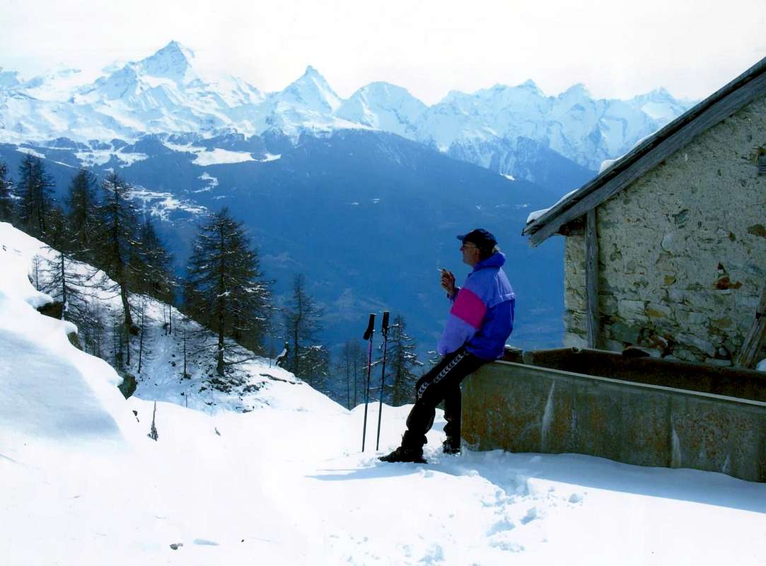
3) - Minimum Route n° 1 and Variants n° 3 and 4: from Parléaz or Parleyaz Village (1.274m), with preceding route on dirt road, to small Blavy Hamlet; from this, with dirt farms road in North, leaving East the first, to second alternative (1.527m; in East to Viou and Tsa de Viou Alpages); continue North and, towards Plasse Pasture (1.659m; ruins), leaving in bottom the path to Méanaz Pastures (+; 1.575m, 1.537m) to Praperia(z) Alp (1.737m (T/E; 2h'00/2h'15).
Variant n° 3) -: from Parleaz, doubling North or South the same and leaving West the dirt road, continue Northwest through path into forest of a very small vallon and, crossing Parleyaz Torrent, to Blavy (calculate in less than half hour; not recommended in the presence of very high snow, because preferable the other routes "more open").
Variant n° 4) - and Minimun Route n° 2: from Roisan Commune-Crétaz (around 870/80m; + San Vittore Chapel) with dirt road to Preyl Village (signal no transit); from this to reach the fork 972 meters. Abandoning the dirt road and through a small path towards point 1.168 meters (+), alternative 1.260 meters, again with dirt road, to 1) -, in Northeast through a small path, alternative 1.246 meters and Blavy. Aso in Southeast with private dirt farms road towards 2) - alternative 1.300 meters (from Parleyaz; moreover connection between the two routes) to Blavy (T/E; 2h'30/2h'45).
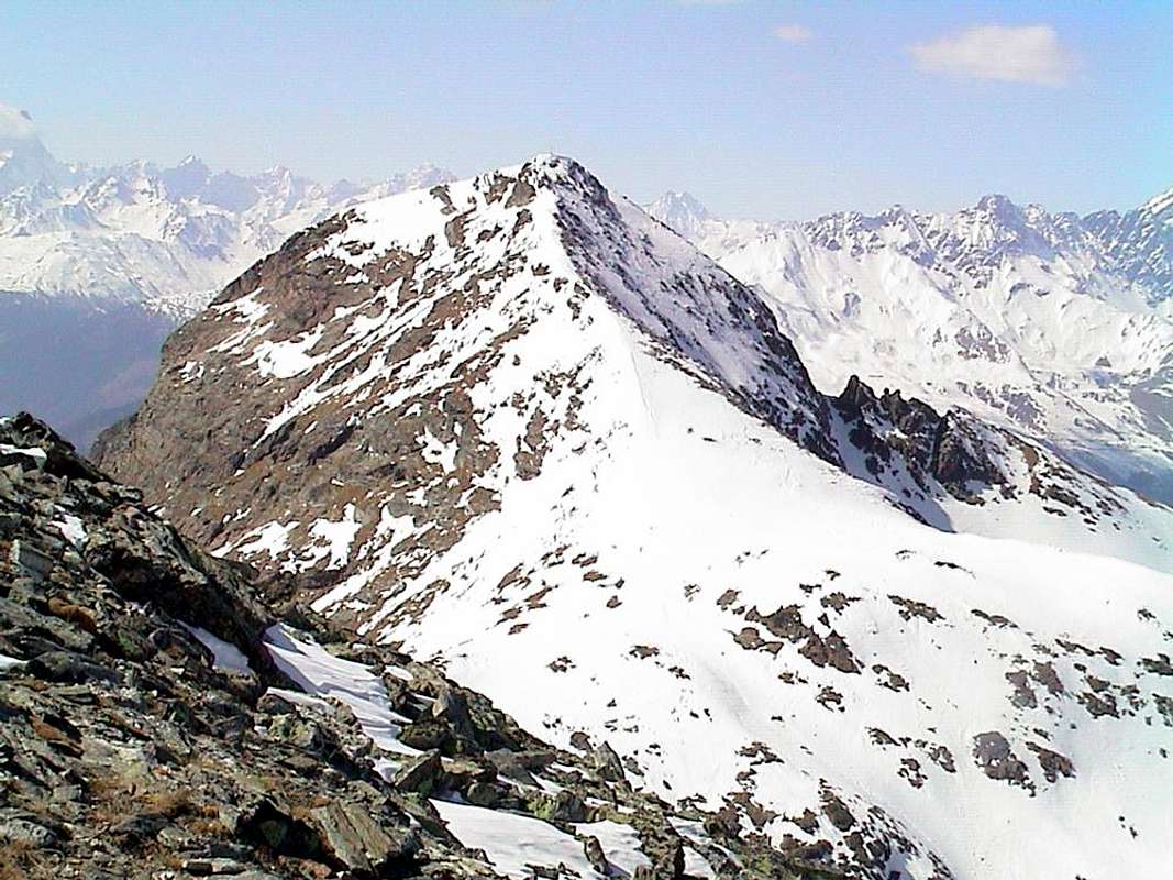
4) - Basic Itinerary n° 2: from Saint Christophe-Prevot towards East deviation near Lumian (984m), following alternative (1.215m; in West to Parleyaz/Blavy Hamlets) to Cretallaz (1.087m; + San Leonardo little Churc), Jeanceyaz, Morgonaz (1.181m; parking) Villages and Prayon Pastures (1.262m), with Municipal Road between Saint Chistophe/Quart Communes. From pasture through dirt farms road before in West (immediately after signal no transit); continue North towards Les Ayettes (1.463m), Borelly (1.483m). Abandoning North the dirt road to Vernier/Rapailles Pastures (1.582m, 1.620m), always on dirt road to Chamerod (1.615m) old Village and Les Preyes or Prèles also Preilles (1.745m, 1.777m, 1.791m, 1.898m) Alpages at the end of dirt road; from this last, through path in North, crossing the forest and passing an ancient alp 2.023 meters, to Senevé or Cénevé Alp (2.199m; water outlet just in West; F+; 2h'30/2h'45), in homonym Basin and below the small range Mont Mary/Tête d'Arpisson/Pointe de Senevé/Tsaat à l'Etsena/Becchi di Fana.
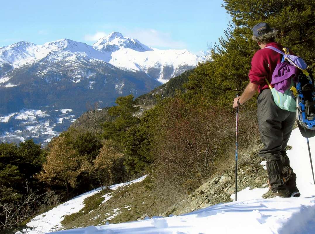
5) - Exceptional Via n° 2 and Variant n° 5: from Senevé Alp, through grassy, moraines and blocks in North-northwest to Chaudière Northeast Pass (2.746m), with a debris South Slope more steep in final part; from pass, leaving right the Southwest Crest to Tête d'Arpisson, continue left on ridge with short traverse to Les Prèles (around 2.755 meters ), Chamerod (about 2.750/5 meters) little Summits and following Mont Mary (2.814/5m; D; 3h '30/3h '45).Variant n° 5: from alp, over the outlet, go directly to Mont Mary, through the Southeast Slope (M; 2h'30/3h'00). 6) - Basic Itinerary n° 3: from Saint Christophe-Prevot, Baracca, Monastero, Ramoise, Vallerod Villages also from Quart Commune, Villair, Epilaz (below Quart Castle), Povil (695m), Argnod Villages or from SR.26 nearby La Plantaz (540m; better), with Regional and Municipal Roads, towards Chétoz, Clou de Chétoz, Argnod (829m), Vignil (946m), Fornail (1.082m), Viile sur Nus-Planeville (1.113m), Buignod (1.135m), Porsan (1.299m) Villages to Trois Villes-Avisod Village (1.398m; fountain). From this, leaving back a little church on grassy promontory, through dirt farms road in Northwest to Lower and Upper Champchamoussin (around 1.660m, 1.851m), Latta (1.935m) Pastures; from this last, through a long diagonal West passing above Chavod Alp (2.029m), to Senevé Alpages (2.206m; F+; 2h'45/3h'00).
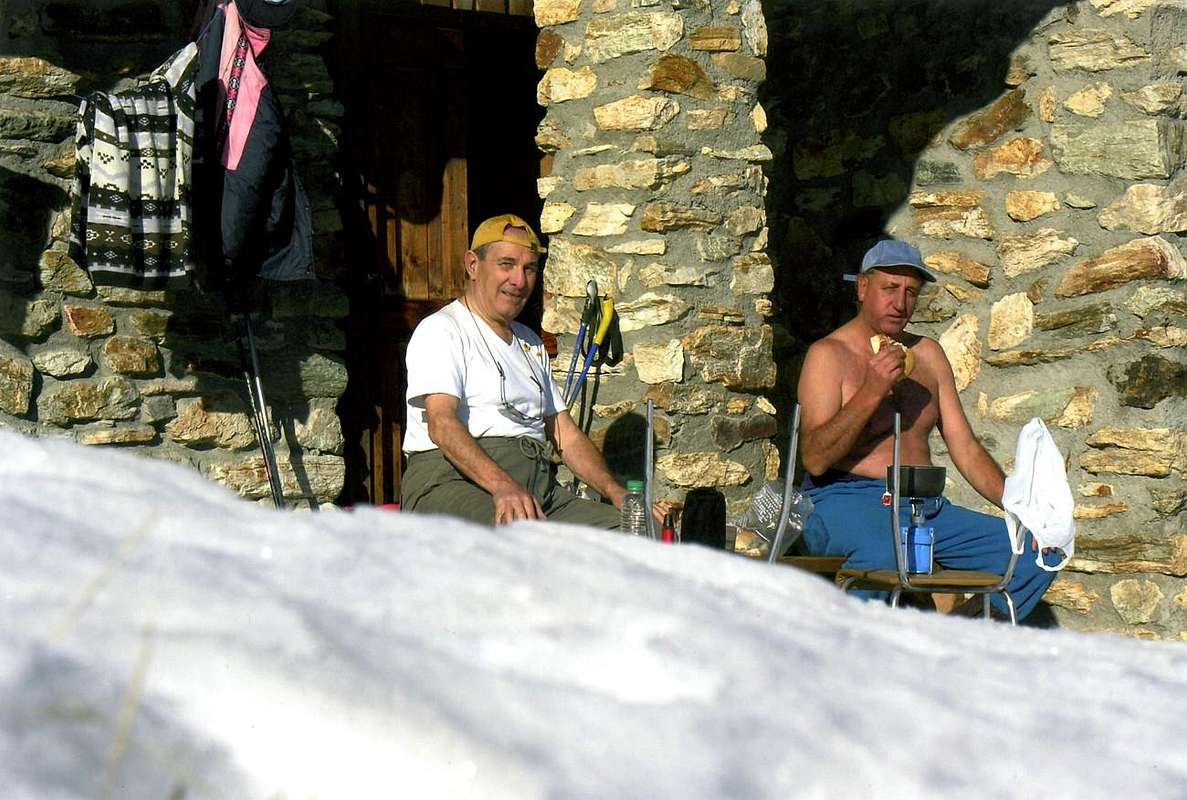
7) - Variant n° 6 and Exceptional Via n° 3: from dirt road from Latta Alp and immediately before Senevé Alp to rocky promontory (about 2.350 meters); doubling the same North also crossing, through a linear diagonal on a small path, to Passo Alto often with snowy frames in final part (High Pass; 2.540m; M+; 2h'00/2h'15; 3h'30 from Avisod Village).
8) - Variant n° 7: and Exceptional Via n° 4: from dirt road just after Latta Alp to fork in altitude 2.030 meters around; from this, through a path in Southeast into forest, to Cornet Pass (2.280m). From pass traverse in South on easy grassy-rock crest to Croix de Fana (+ Fana great Cross; 2.211m; M+; 1h'30/2h'00; 3h '00 from Avisod Village).
9) - Exceptional Via n° 5: from Trois Villes-Fonteil (1.423m; two parkings, small top after the last "baita" (departure signals) and great down in bottom (panneaux and various signals; good stone fountain amongst the houses) to Croix de Fana (D-; 2h'30/2h'45), through path in North on South slopes, Northwest on Southeast Crest in terminal part.
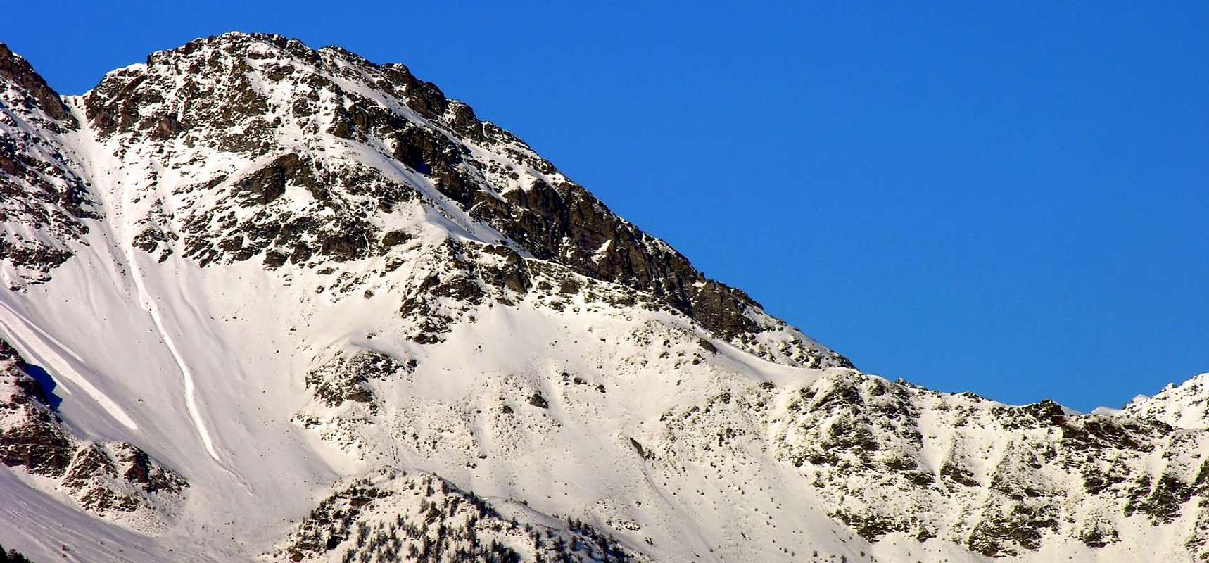
10) - Basic Itinerary n° 4: from Fonteil, through dirt farms road in North-northeast, towards Nouva (1.733m) Pasture, subsequent alternative (1.640m; to Chauvay, Dovian, Cré 1.652m Pastures), Brunier (1.761m), Clavel (1.994m), La Seyvaz (2.184m), Valchourda Alps (2.392m) to important and in times past popular Saint Barthélemy Hill (traverse with descent to Verdona(z) Vallon in Valpelline; 2.639m; F+; 4h'00/4h'30), between Becca Conge (2.953m)/Pointe Verdona.
Variant n° 8: from la Servaz Alpage, through diagonal path in Southeast under Western slopes of Grand Pays, to Col Collet (2.500m), between Grand Pays (2.221m)/Becca d'Aveuille or Aveille also Avouille (2.623m; F+; 2h'20/2h'40).
11) - Exceptional Via n° 6: from Valchourda Alp, below Becca Conge/Saint Barthélemy Hill/Pointe Verdona (2.868m)/Faroma Pass (2.741m; crossing and descent to Comba Vessona(z) in Valpelline), through path in Southeast on Western Slope, to Lechy Hill (2.585m); from hill easy traverse on watershed to Grand Pays (D-; 2h'30/2h'45).
12) - Minimum Route n° 3: from a) - the preceding route from Villair de Quart or from b) - (better) La Plantaz in State Road to Ville sur Nus-Planeville (1.113m); from this, towards Buignod (1.135m), Avion (1.312m) Villages. Also from c) - Porsan (1.299m), Trois Villes (1.398m), Monument to Partisan (1.364m), Avion to alternative 1.250 meters around, Effraz Village (1.487m), with Municipal Roads. From Effraz towards Le Rion or Ronc (1.737m) to Machaussy Alps, through dirt roads in Northeast (around 1.700m; T/E; 1h'30/1h'45 from Effraz), below Southern Face of Becca d'Aveuille.
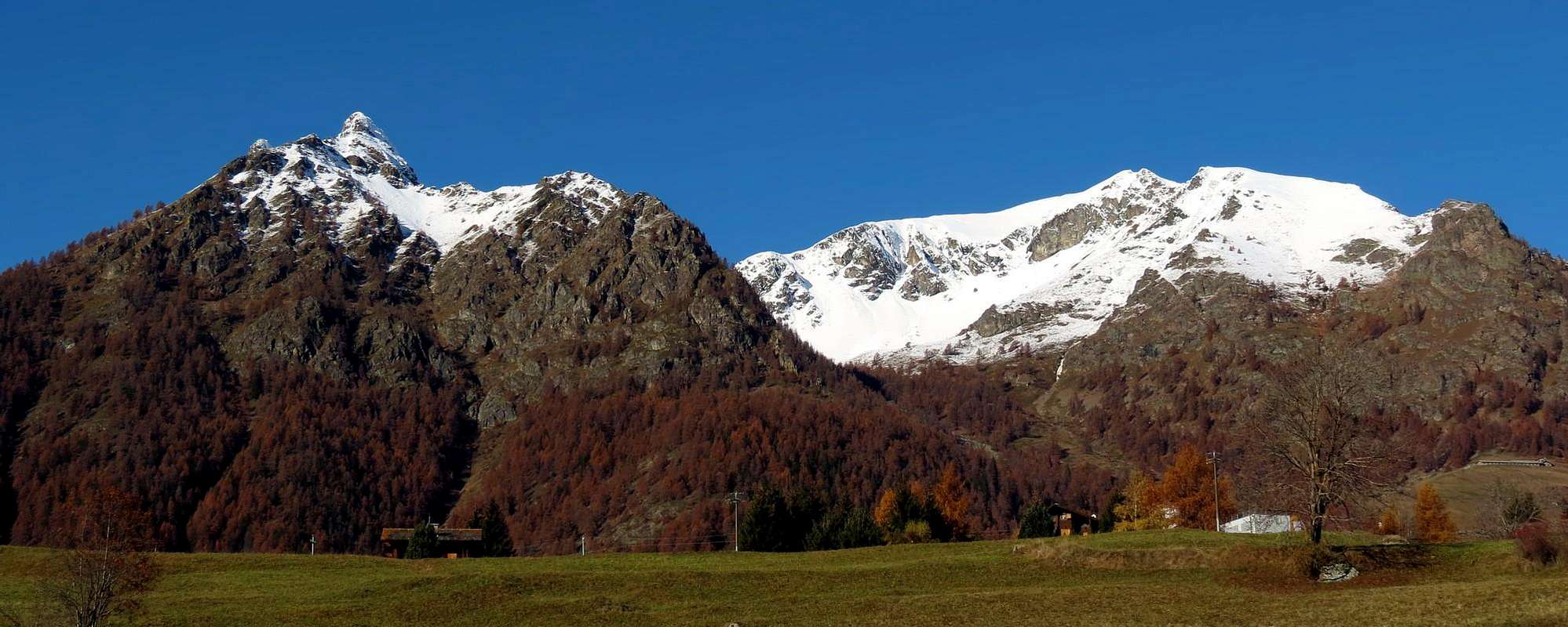
13) - Basic Itinerary n° 5: from SR.26, nearby Chambave Commune, to Regional Road; towards Ollières (647m), Marseiller (801m), to Verrayes Municipality (Eglise 991m; Moulin 1.005m). With Municipal Road in North towards Plan de Verrayes 1.015m), Tessellaz (1.138m), Marquis (1.288m), Dorinaz (1.323m), Charrière Villages to Grand-Villa more great Hamlet (1.437m). From this last continue West to Vencorère (1.563m; end of road) Village; through dirt road in Northwest to Prelaz (1.712m) Alp and subsequent a) - Mount Ander (1.931m; M+; 2h'30/2h'45), through sparce traces on Southeast Slope; also from Prelaz Alp, with dirt road, to b) - Filon Pass (1.894m; T/E; 0h'30 from pasture).
14) - Exceptional Via n° 7: from Grand-Villa to Loson, Petit Loson small Villages (1.525m, 1.545m; pond), Fontane, Champlong Damon (1.715m) Pastures, Bornes Alp and Hill (1.760 meters around, 1.774m), Aver Pass (about 2.330 meters), Becca of Aver (2.469m), through South Slope, and traverse to Cima of Longhede (2.416m; D; 4h'30/4h'45).
15) - Minimum Route n° 4 with Variant n° 9: from a) - Verrayes, with Regional Road, towards Del (1.260m), Plau (1.305m), Semon, Cheresoulaz (1.487m) Villages. Also from b) - Saint Denis (803m; reached from Chambave Commune, Marseiller Hamlet) with Regional Road but more in East, towards Gubioche, Etrobleyaz, Petit Bruson, to Del Villages.C*** Road Connection towards Roves, Lozon (1.520m; pond), Clavon, Fontane Villages, Pastures to Bornes Alp, Hill)
From Cheresoulaz Village to Saint Pantaléon Hill (1.650m); from this descent to Sémon Village (1.428m) through grassy fields, paths and return, with more large lap in East, in ascent to hill (Saint Evançe Tour round trip; T; 1h'00/1h'15).
Variant n° 9: from Saint Pantaléon Hill, through good muletrack in Northwest, crossing the forest almost level route and final short descent, to Bornes Hill near the homonym Alpage (torrent; signals to Becca d'Aver; T; 1h'15/1h'30).
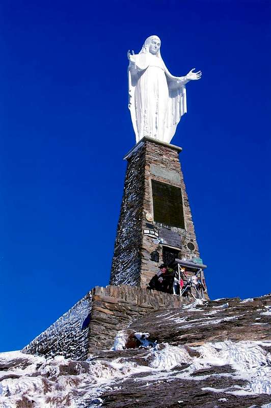
16) - Basic Itinerary n° 6: from Chatillon Municipality, with Municipal Road in Northeast on Chatillon High Hill, towards Merlin/Cret Blanc, Chavod, Pissin/Albard/Closel, Domianaz to Nissod Villages (1.371m); from this, through dirt farms road in North-northeast, to Nuarsaz Alp (1.713m; T/E; 1h'30/1h'45), below Southern slopes of Mount Zerbion (2.720m).
17) - Exceptional Via n° 8: from Nuarsaz Alp, with dirt road in West, to Chesalet (1.735m), Jacquémin-Giacomet (1.777m) Alpages; from this, through path in North, to Shoulder 1.991 meters (wooden benches on a grassy flat promontory) between Franquin/Varé Woods at the beginning of Western easy and grassy Crest Mount Zerbion. Through small path-traces to Summit (2.720m; F+/M-; 3h'30/3h'45, from Nuarsaz Alp; 5h'30/6h'00, from Nissod Village).
18) - Basic Itinerary n° 7: from Saint Vincent Municipality, with Regional Road to Brusson in Val d'Ayas, to Joux Hill (1.635m); from this in ascent through small path on Northern Slope to Western Shoulder (around 1.930m) and following traverse, through West Crest, to Tête de Comagne (2.106m; great cairn with Cross in Summit; EE; 2h'45/3h'15).
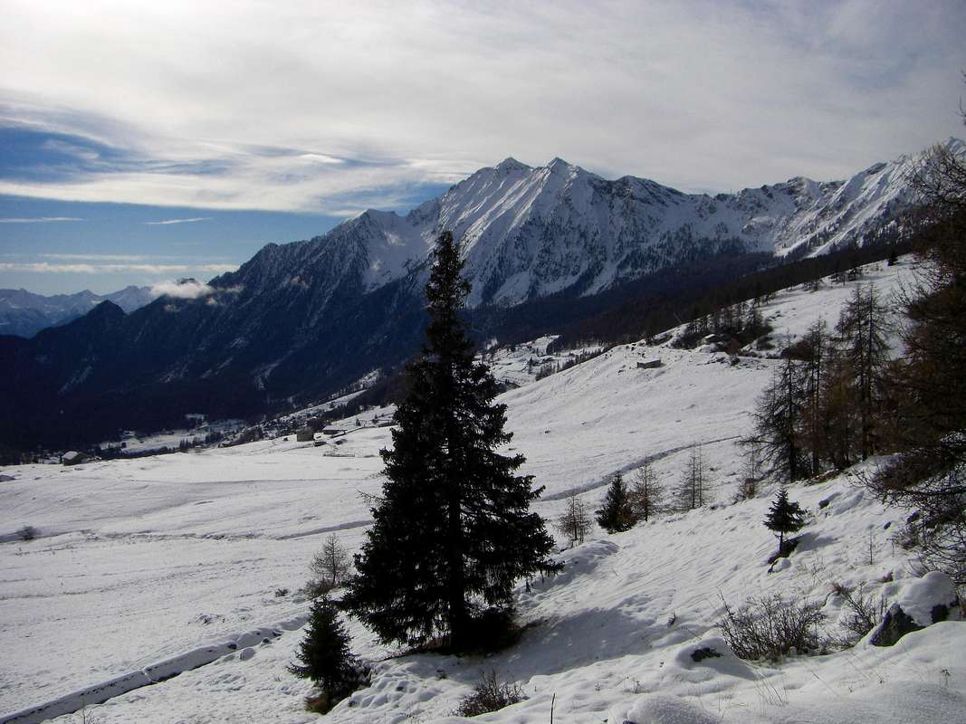
19) - Basic Itinerary n° 8: from Emarese (1.048m), with Regional Road, to Erésaz-Saint Roch (1.163m); from this towards Grand Rhun (1.385m), Palud (1.605m; departure of three ski lifts, one to Comagna West Shoulder) Villages, through paths, to Joux Hill (1.635m; T/E; 1h'45/2h'00), between Saint Vincent/Emarese/Brusson Municipalities.
20) - Eastern Variant n° 10: from dirt road between Sommarese (1.370m)/ Cuignon (1.530m) Villages to Palud and hill.
21) - Exceptional Via n° 9 and Variant n° 11: from Joux Village, below the hill (1.600m; reached from Saint Vincent with Main Road of preceding routes), with dirt road towards Fromy Village (1.610m) to a) - Mont Fromi or Croi (1.859m), through traces. Short descent on watershed to Fromi Pass (1.760m); from this continue North-northwest to Cime Botta (2.042m; E/F+; 2h'00/2h'15), below Picco Bellin (2.482m)/Mont Jetire (2.146m) on Southeast Crest Mont Zerbion.
Variant n° 11: from Partisans Chapel (1.501m) or from Joux to Fromy Villages; continue Northwest with dirt road level route up to the end of the same in altitude 1.640 meters; tourning Northeast, through scattered traces, to b) - Western Slope of Cime Botta (EE/M-; 1h'45/2h'00; most direct route but requires research into the sparse vegetation).
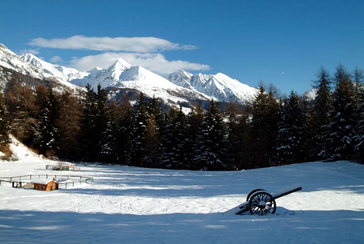
22) - Variant n° 12 and n° 13: from Cuignon/Longeon Villages (1.530m), through path on Southwestern Slope in Northeast, to Mount Zuccore (1.882m) and, with easy crossing on waterhed, to Tête Comagne (E/F; 2h'30/2h'45).
Variant n° 13: from Cuignon before with dirt road or concomitant path up to the altitude 1.580/90 meters around, in West below Mont Zuccore; after through path in Northeast into forest directly to Summit (EE/F+; 2h'10/2h'20).
23) - Basic Itinerary n° 9 with small Variant n° 14: from Erésaz (1.163m) to Chassan, through path to Cuignon, also from Cuignon/Longeon to Zuccore Hill, with Municipal Road (1.607m); T; 0h '40/0h '50); descent towards Arbaz Village (1.500m; characteristic old "rascards", but now in ruins) to Challand Saint Anselme Municipality in Ayas Valley.
Small Variant n° 14: from Zuccore Hill (on-site "Tsicore or Tzecore"), through small path and traces into wood, to Mount d'Arbaz (1.653m; T; 0h'15/0h'20), between Zuccore Hill/Mount Ros (1.416m; mines "Borna da Ghiasa").
24) - Basic Itinerary n° 10: from Verrès (390m) to Collegiate Church of Saint Gilles (very famous and dating of the X° Century), Mount Saint Gilles (+; 967m; T; 2h'00/2h'30), above Verrès Castle (renowned Medieval Manor building).
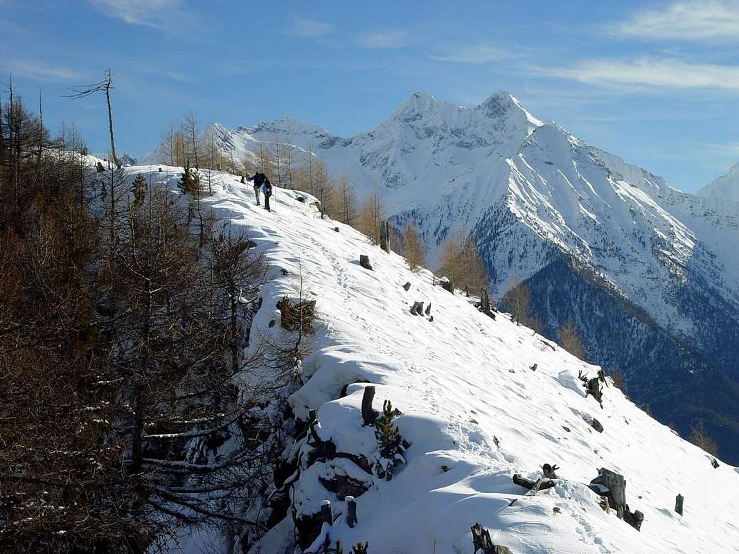
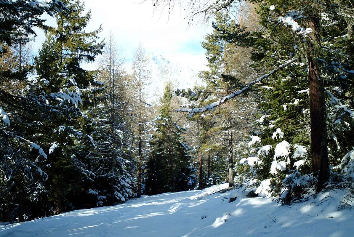
Poi da Aosta la Valle si dirige verso le Città di Ivrea e Torino, dapprima con direzione Est fino a Chatillon e poi, da Saint Vincent, verso Sudest raggiungendo la Regione Piemonte. Questo Versante Settentrionale risulta molto esteso offrendo tutta una serie di valli che lo raggiungono in perpendicolare da Nord a Sud (Saint Barthélemy, Valtournanche, Ayasse e Gressoney o del Lys); oltre a queste, piccoli valloni ma, soprattutto, grandi terrazze (rimaste a segno del ritiro del grande Ghiacciaio Balteo che dal Monte Bianco raggiungeva con la sua morena laterale sinistra, detta "la Serra", le porte della città eporediese) s'espongono al sole davanti allo scorrer della Baltea. Questi alti bacini (Blavy, Senevé, Comba Dèche con questa che si incunea maggiormente e parallela alla Valle di Saint Barthélemy, Collina di Nus e plateau di Verrayes/Saint Denis, Alta Collina di Chatillon sotto lo Zerbion) offrono molteplici e svariate opportunità d'escursioni con racchette o semplici passeggiate. Ancor oltre e verso Verrès con il suo castello squadrato e la "Bassa Valle", le medesime diminuiscono notevolmente di numero, poiché la zona raggiungente Pont Saint Martin diventa alquanto più rocciosa prestandosi maggiormente all'arrampicata sportiva. Anche qui qualcosa si trova, ma é più da esploratori e non vogliam togliervi il piacere della scoperta ...
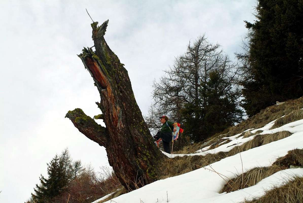
Campings
Remember that free camping is forbidden (except for emergency reasons, over 2.500m, from darkness until dawn).Mountain Condition
- Meteo: you can find all the needed informations at the official site of the Valle d'Aosta Region:
- Valle d'Aosta Meteo
Important Information
- REGIONE AUTONOMA VALLE D'AOSTA the official site.
- FONDAZIONE MONTAGNA SICURA Villa Cameron, località Villard de la Palud n° 1 Courmayeur (AO) Tel: 39 0165 897602 - Fax: 39 0165 897647.
- A.I.NE.VA. (Associazione Interregionale Neve e Valanghe).
Useful numbers
- Protezione Civile Valdostana località Aeroporto n° 7/A Saint Christophe (Ao) Tel. 0165-238222.
- Bollettino Meteo (weather info) Tel. 0165-44113.
- Unità Operativa di Soccorso Sanitario Tel. 118.