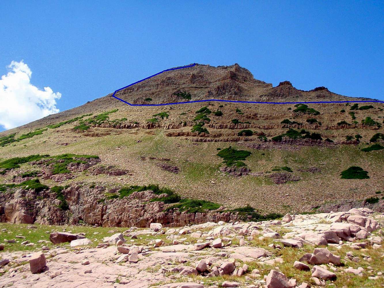
The route follows the base of the summit cliffs, which sometimes overhang above the eroded shale layer, until you are just above the long ribbon of krummholtz; then angles up around the cliffband, and finally shoots straight up to the top.
View from the above-timberline lakes of Upper Rock Creek Basin, 7/29/08 3 pm


