

Viewing: 1-2 of 2

Dave Daly - Mar 8, 2006 4:47 pm - Voted 10/10
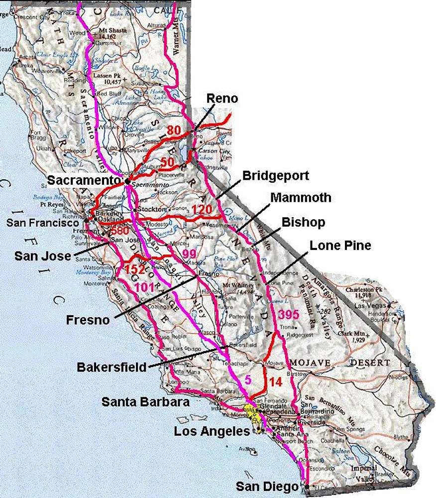
Simple But ValuablePeople would normally ignore these maps. But I think they're great resourses for planning. Good idea Bob!

Bob Burd - Mar 8, 2006 9:22 pm - Hasn't voted
Re: Simple But ValuableMost folks in the state wouldn't need them, to be sure. I figured they might be helpful for folks coming from outside the area to both help with planning and see what the hell we're talking about on the message boards. :-)
Viewing: 1-2 of 2


Comments
Post a Comment