


Comments
No comments posted yet.
|
|
Trip Report |
|---|---|
|
|
33.84971°N / 117.65408°W |
|
|
Download GPX » View Route on Map |
|
|
Jun 18, 2014 |
|
|
Hiking |
|
|
Summer |
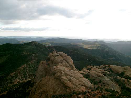
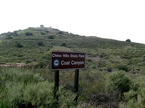
Coal Canyon
This is a great view from the Half way point. You can actually walk out on the rocks and observe the Turkey Vultures flying above.It gets a bit windy here at times so try not to loose your picnic basket.
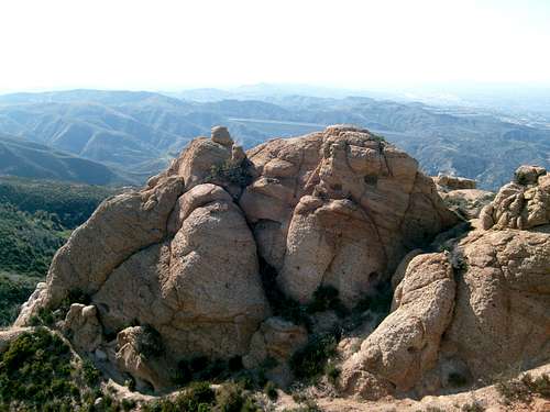
Coal Canyon 1
I was standing on the rocks looking towards the Toll Road in the background. These rocks get lots of exposure to the elements, especially the wind.The smoothing of the edges and the deep fissures are the results.
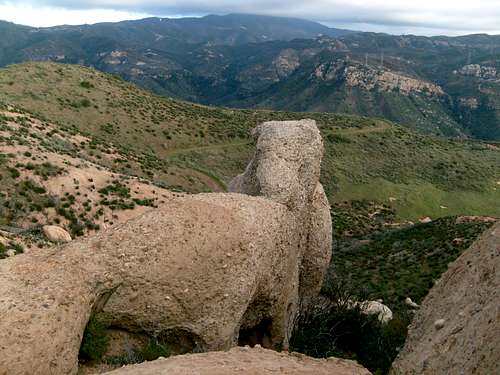
Coal Canyon 2
From here you can see how green the valley gets below after some winter/spring rains. You can see the trail leading to yet another set of rocks..There is a drop off way down there so careful when bush wacking in that area and stay on the trail..
Coal Canyon 3
I was looking down towards the trail below...yes there is a trail which winds down below the rocks...No I didn't walk on this...
Coal Canyon 4
This is the half way point or my 1st resting point. Yes its basically a truck trail to the top of Sierra Peak.You can see Chino Hills State Park towards the lower left corner. Here in this area you'll find whats leftof the Tecate Cypress Trees. They are scattered around a bit...
Coal Canyon 5
This view is looking towards the Doppler and Pleasants Peak. This area is well known to experienced Mountain Bikers.
Coal Canyon 6
You can see across the canyon towards yet another trail. Yes there is a trail up there somewhere...
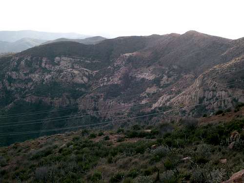
Coal Canyon 7
Here you can see the canyon wall which the trail runs along top. You would never see it until you make your way towardsSierra Peak.
Coal Canyon 8
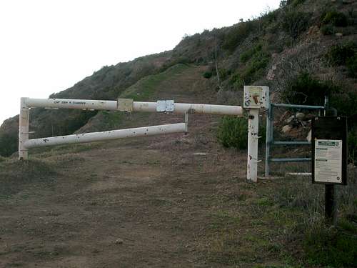
This is a CNF Gate which indicates Boundary and the trail number. This particular gate marks the boundary between Coal Canyon Reserve and CNF.You can see the preserve regulations to the right. The Coal Canyon ecological reserve is under the Fish and Game Warden jurisdiction.
Coal Canyon 9
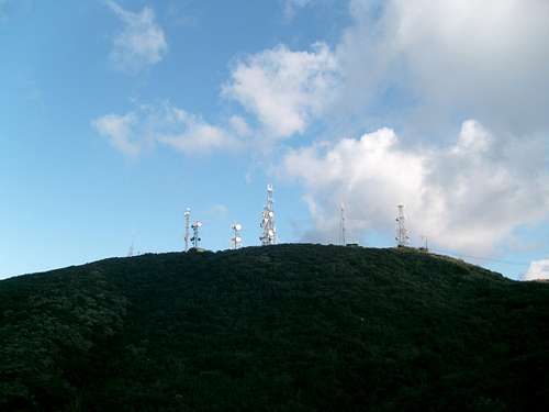
You can see Sierra Peak and the towers in the distance from the trail.
Coal Canyon 10
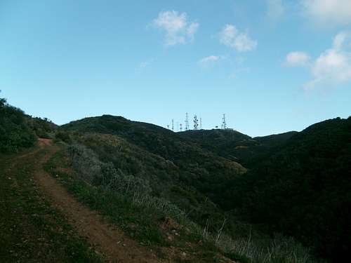
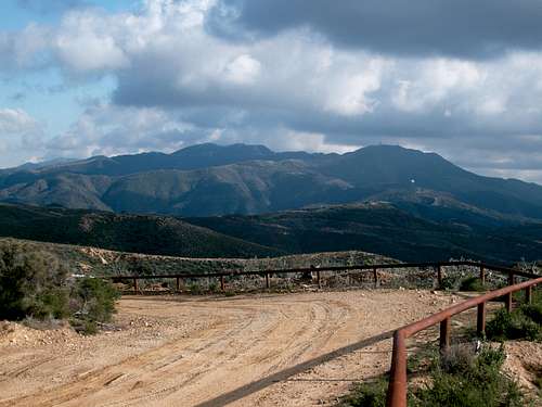
This is my favorite picture of Sierra Peak, The truck trail just keeps going up and up...
Coal Canyon 11
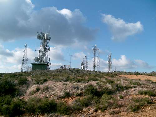
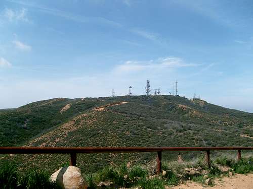
Here is a closer look at the towers as you approach the summit....Sometimes you may see a vehicle or two parked in the area.
Coal Canyon 12
One of my favorite resting spots here. Its always a great view...
Coal Canyon 13
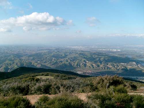
While on the Summit of Sierra Peak you can see Chino Hills State Park Below..
Coal Canyon 14
I was heading towards the old broadcasting station up there and turned to take this picture.
Coal Canyon 15
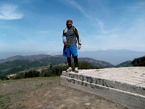
Well That's me just below the Doppler. You can see Sierra Peak in the distant background on my left.
Coal Canyon 16
Well I Hope you liked the pictures here....Happy Trails..