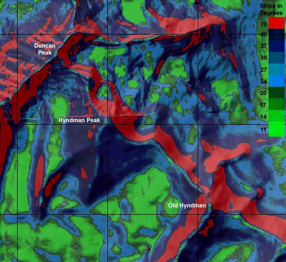
Slope map of Hyndman Peak....


brendon
on Jun 13, 2005 4:01 pm


Hyndman Peak(Mountain/Rock)
brendon's Image Gallery
East Ridge(Route)
You are at the First Image | You are at the Last Image |
brendon's Image Gallery


East Ridge(Route)
Comments
Post a Comment