
Snowy "Dreamline" Above Tooele (UT)
Ever since a young lad growing up in the Tooele Valley (UT),
I found this "wind-swepted" line of peaks to be intriguing.
From Left Hand Fork of Settlement Canyon, take a system of
"deer trails" leading south below the ridge line, and you'll eventually
come to Rocky Basin; where a "snow-measuring device" is located.
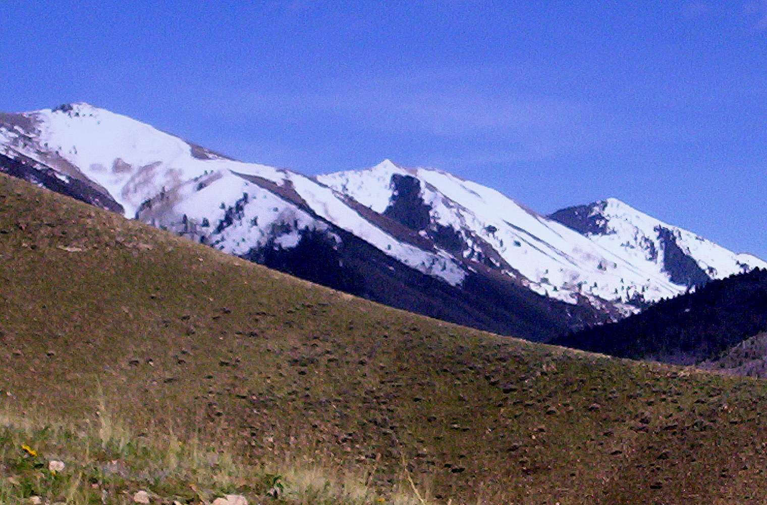
This photo was taken at 6,300 ft, SE of what's now called the
Settlement Canyon Reservoir. We followed a deer trail up to get
this view of Tooele Peak, White Pine Peak, Piney Pass and
snow-covered Kelsey Peak.
Lowe Peak, the second highest peak of the Oquirrh Range, is out
of the picture to the west of Kelsey Peak.
We saw about one dozen Mule deer during this particular outing.
The summits of White Pine & Kelsey Peaks, both rising
above 10,000', form the "dividing line" (as us kids always
called it) between Tooele County and Utah County to the east.
You won't see "developed trails" on this side of the Range!
April 30, 2009


