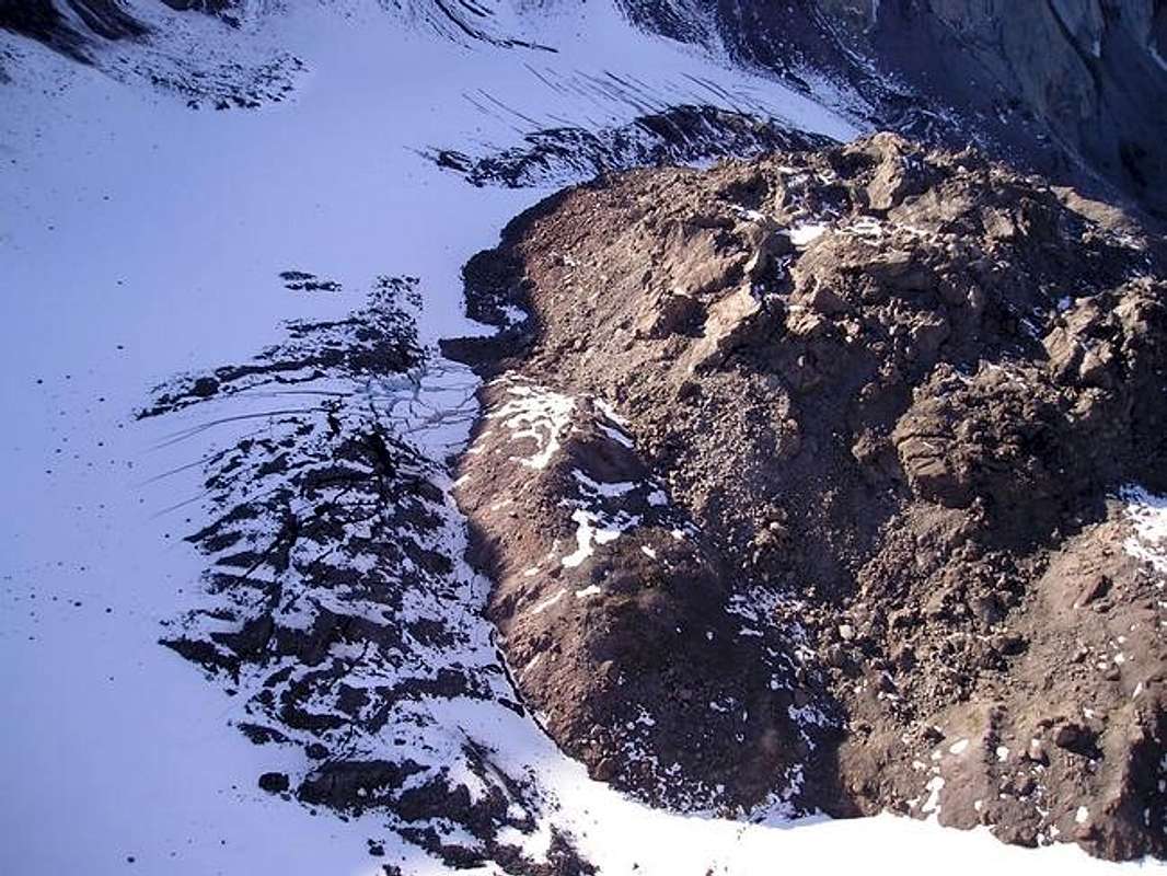
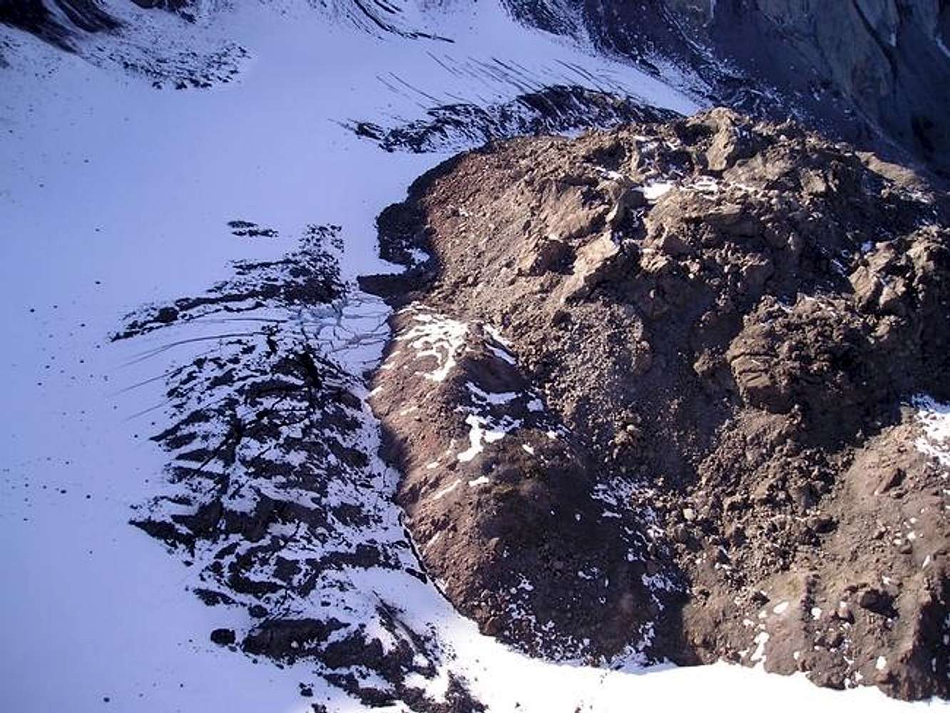
South side of Mount St. Helens lava dome, as seen from the southeast, showing the dome and part of the glacier forming at the base of the dome. It is interesting to see how this scene changed in the
day leading up to and
just after the eruption on 01 October 2004.
USGS photograph taken on 29 September 2004 by Mike Poland and Dan Dzurisin.


