Toggle navigation
Mountains
Routes
Images
Trip Reports
Forum
What's New
People
Areas & Ranges
Articles
Trailheads
Canyons
Huts & Campgrounds
Albums
Logistical Centers
Fact Sheets
Lists
Custom Objects
Gear
Plans & Partners
WELCOME TO SUMMITPOST
SIGN IN
REGISTER
Southeast Oregon Basin and Range
Additional Parents
Image
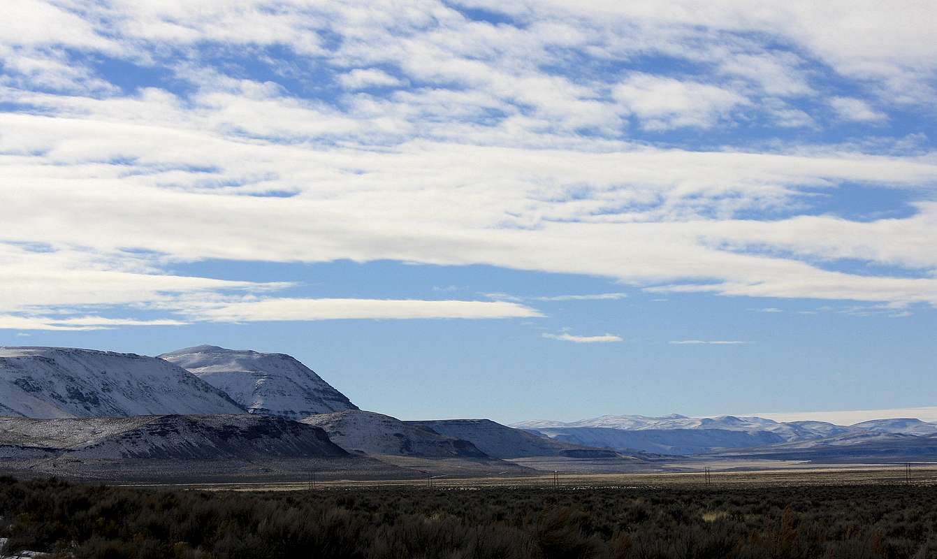
Square Mountain 6350 feet
View High-Resolution Image
Square Mountain 6350 feet
The high point of the South Catlow Rim, Square Mountain. This picture taken where highway 205 turns southeast towards Long Hollow. The highest point on the right horizon is
Lone Mountain
.
« PREV
NEXT »
calebEOC
on
Jan 7, 2011 11:30 pm
Comments & voting
Other parents
Image ID:
690317
1206 Hits
71.06
% Score
1
Votes
Log in to vote
Comments
No comments posted yet.
to post!
Don't have an account?
Southeast Oregon Basin and Range
(Area/Range)
« PREV
Viewing
#122 of 125
GALLERY
NEXT »
calebEOC's Image Gallery
« PREV
Viewing
#911 of 931
GALLERY
NEXT »
×
You need to login in order to vote!
User Name
Password
Remember me
Forgot your password?
Log me out when I close my browser.
Keep me logged in all the time.
sign in as a user
Don't have an account?
Register now for FREE
Rating available
Suggested routes for you
People who climb the same things as you
Comments Available
Create Albums
Register Here


