
Viewing: 1-2 of 2

Jeremy Hakes - Oct 30, 2011 2:13 pm - Hasn't voted
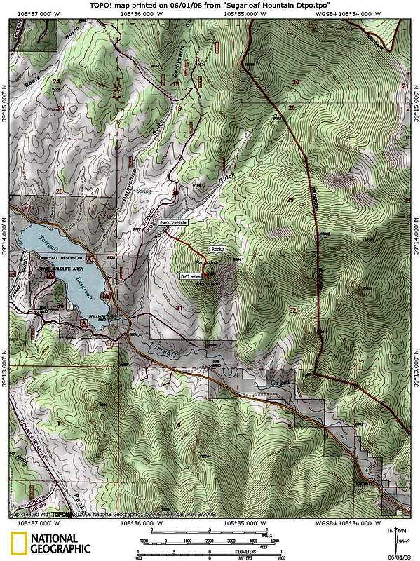
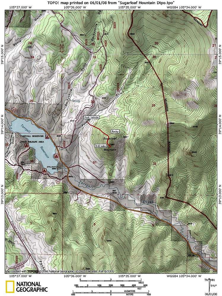
GPS trackSarah - I uploaded our GPS track up this fine little peak. The "real deal", if you will.

Sarah Simon - Nov 5, 2011 12:08 pm - Hasn't voted
Re: GPS trackThanks, Jer. I actually integrated your GPS track into the route page: http://www.summitpost.org/northwest-slopes/408609
Viewing: 1-2 of 2


Comments
Post a Comment