Viewing: 1-6 of 6
LukZem - Oct 15, 2011 5:45 am - Voted 10/10
Unmarkedtrail from Novaci?
Marco Marinescu - Oct 15, 2011 11:30 am - Hasn't voted
Re: UnmarkedYes, it goes all the way down to Novaci being parallel to Transalpina.
LukZem - Oct 16, 2011 12:12 am - Voted 10/10
Re: UnmarkedOn my map, there is a small tarn (Latitude=45.30315°, Longitude=23.58215°)in the upper part of this valley. Have you been there?
Marco Marinescu - Oct 16, 2011 10:17 am - Hasn't voted
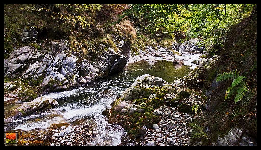
The TarnNo, we took it from Saua Mohorului on the main ridge, all the way down on the perpendicular unmarked ridge, until we reached the base of the valley. The next day we went straight down on Gilort gorges till we got to Novaci.
sailinglifeboat - Oct 16, 2011 6:13 pm - Voted 10/10
sowild, such a nice capture
Marco Marinescu - Oct 16, 2011 6:55 pm - Hasn't voted
Re: sothank you, I appreciate it.
Viewing: 1-6 of 6


Comments
Post a Comment