

Deb - Oct 18, 2007 2:46 pm - Voted 10/10
BackdropLovely! Looks like a Hollywood backdrop!

johnloguk - Oct 19, 2007 3:51 am - Hasn't voted
Re: BackdropThanks Deb, it was a fantastic trip, my first real journey into big mountains. It was very much off the beaten track in those days too. We went nearly a month without seeing any other trekkers/climbers, which is difficult to do in 2007
seyfferth - Oct 21, 2007 7:32 am - Hasn't voted
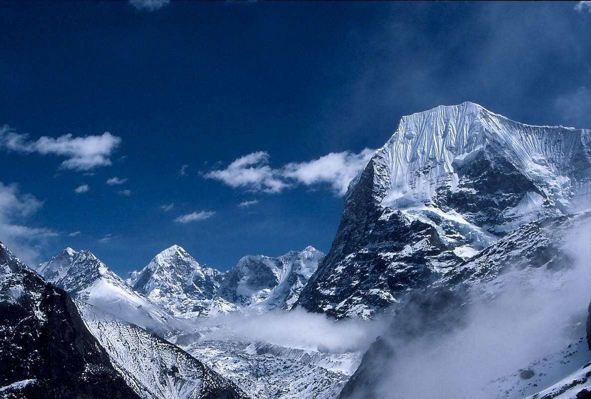
Name of peakI'm sorry, but the peak is not Gyachung Kang but Tsoboje (6689 m), in the background left ist Drangnag Ri (6801 m)
johnloguk - Oct 21, 2007 7:42 am - Hasn't voted
Re: Name of peakthanks for the correction, I was doing it from memory as I couldn't find my map of the area. It is confused by so many different names and spellings in the area, but I'm sure you're right
johnloguk - Oct 21, 2007 8:38 am - Hasn't voted
Re: Name of peakI've just been out for a run and suddenly in the middle of nowhere it dawned on me that Kyachung Kang is near Cho Oyu, so Lord knows why I put it in the Rowaling! I think one of the peaks on the north side of the Rowaling, off left from this view, is called Kang Nachugo, which might have confused me, either that or senility!


Comments
Post a Comment