
Viewing: 1-3 of 3

Glencoe - Oct 6, 2002 12:24 am - Hasn't voted
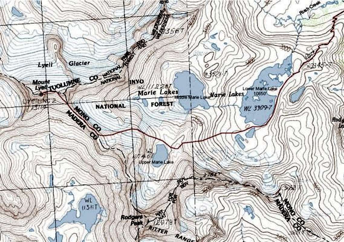
ScaleAlways good to have a map photo. As with any map it would be handy to have the scale marked for reference.

gordonye - Oct 7, 2002 9:39 am - Hasn't voted
Re: ScaleThe squares on the left are UTM 1000 m grids. Sorry there is no separate scale bar.
Glencoe - Oct 8, 2002 7:13 pm - Hasn't voted
Re: ScaleAh, I should have guessed it. Cheers.
Viewing: 1-3 of 3


Comments
Post a Comment