

Viewing: 1-1 of 1

hikerman99 - Jan 9, 2007 8:58 pm - Hasn't voted
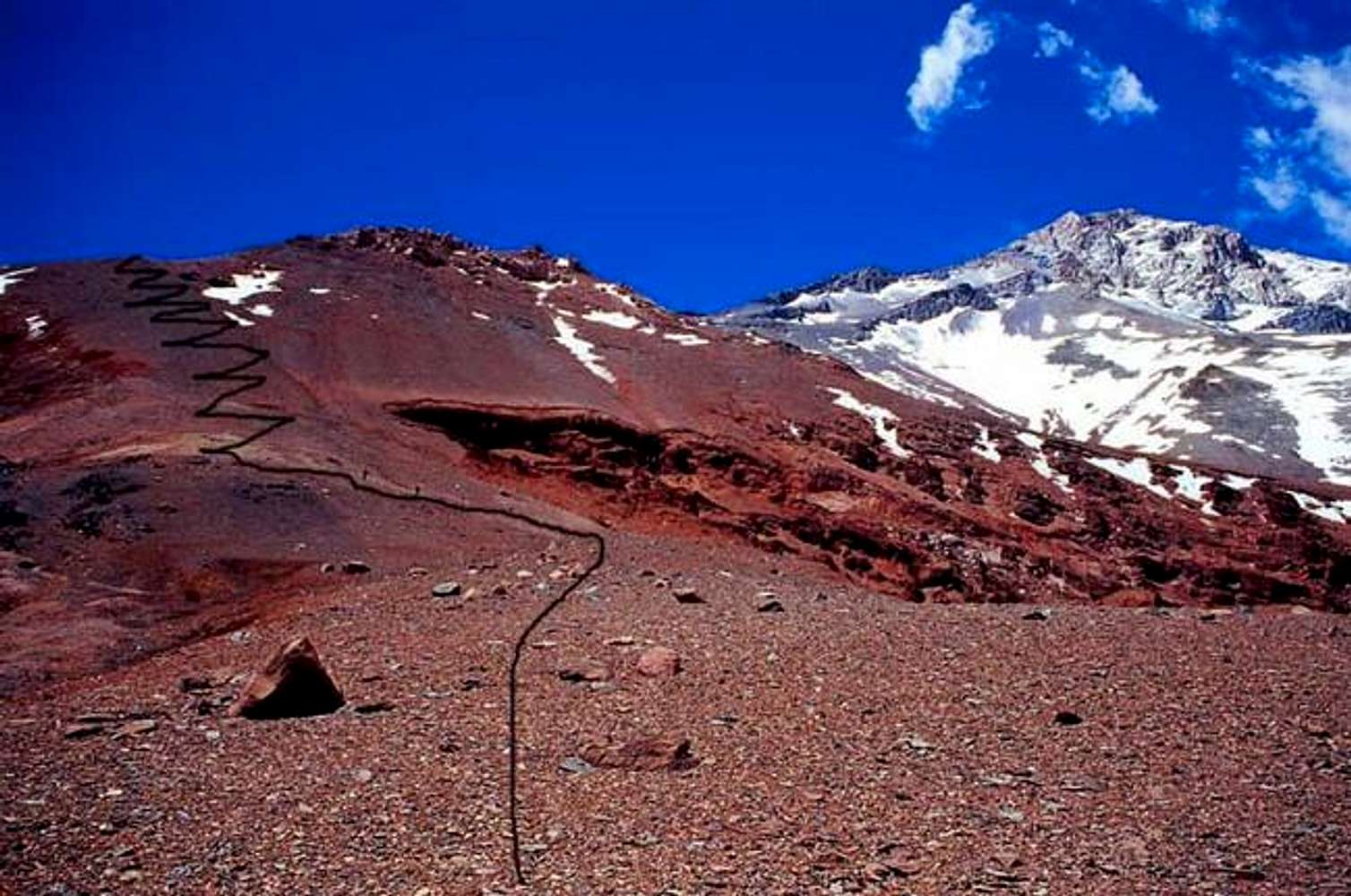
A little above 15,000 ft./4500 m.Picture taken about 15,000 ft, near a few camps (simple flat spots) at S 32.0487, W 70.0264. Zig zags show the longest single scree slope of the climb, up to above 16,000 ft, where these is another flat area where you can camp. The distinctive gash in the slope in the center of this photo was helpful to us to confirm we were on the route that others had used successfully.
Viewing: 1-1 of 1


Comments
Post a Comment