Porcupine Creek has a north branch, which comes out of the Boundary Range, and is mostly dry. The south branch comes from Wasootch Ridge, and is usually quite a torrent.
Where the two branches meet, Porcupine Ridge dips itself into the fork, like a big toe.
Elevation: 1439 meters.
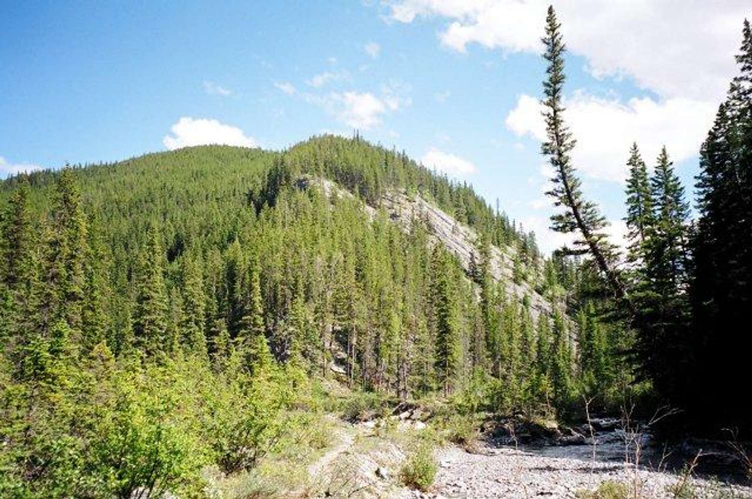
Some hikers will continue up the south branch (to the right, in this picture) but the torrent looks tricky to cross. So I climb right up the spine. You can see it's open scree for a short while but then the route is in trees. The first half of that is right up the spine of the ridge. When you get to a broad forest, you should stay on the southern edge of the forest as much as possible.
At about 200 meters above the toe, you will see that the route climbs up, to the left and north, into rockier terrain. Follow the animal trails, they are good.


