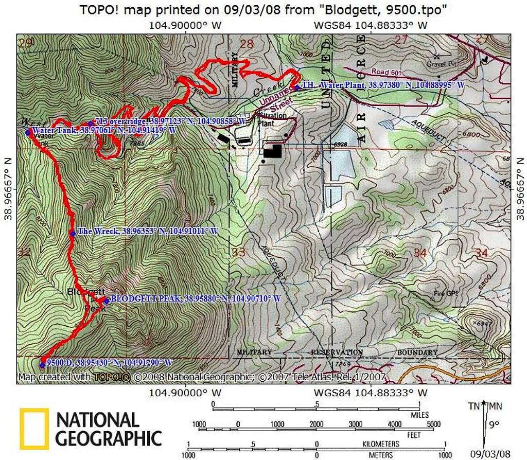
The Wreck, Blodgett, and 9500
This topo shows the coords for the TH, the plane wreckage, Blodgett, and UN9500 (soft ranked with 280' of prominence). My stats (including my foraging along the creekbed) were: 9.7 miles RT, 4,000' gain, 4 hours (per GPS overlay on TOPO!).


