Toggle navigation
Mountains
Routes
Images
Trip Reports
Forum
What's New
People
Areas & Ranges
Articles
Trailheads
Canyons
Huts & Campgrounds
Albums
Logistical Centers
Fact Sheets
Lists
Custom Objects
Gear
Plans & Partners
WELCOME TO SUMMITPOST
SIGN IN
REGISTER
Chief Joseph Mountain
Additional Parents
Image
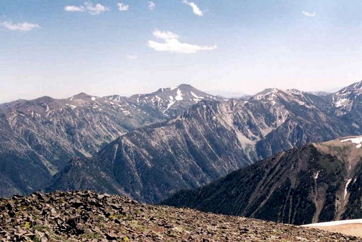
This view from near the...
View High-Resolution Image
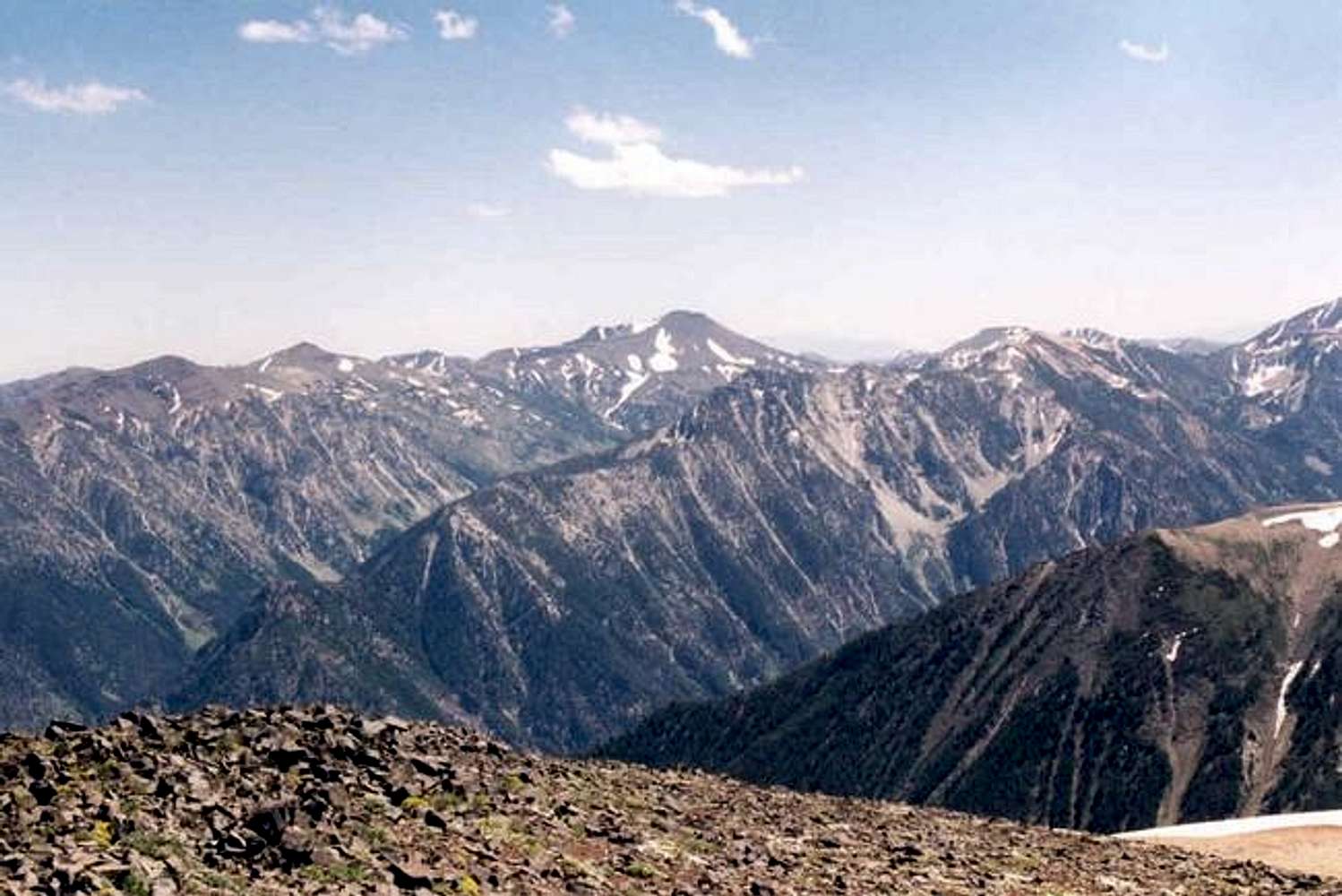
This view from near the...
This view from near the summit of Chief Joseph shows Aneroid Mountain at center, Hidden Peak and East Peak at left center, Petes Point on the right margin and Bonneville Mountain at right center divides the east and west forks of the Wallowa River.
« PREV
NEXT »
mrh
on
Feb 1, 2005 5:58 pm
Comments & voting
Other parents
Lat/Lon:
45.28560°N / 117.2611°W
Image ID:
87817
1325 Hits
71.18
% Score
2
Votes
Log in to vote
Comments
No comments posted yet.
to post!
Don't have an account?
Chief Joseph Mountain
(Mountain/Rock)
« PREV
Viewing
#57 of 80
GALLERY
NEXT »
mrh's Image Gallery
« PREV
Viewing
#2446 of 2597
GALLERY
NEXT »
×
You need to login in order to vote!
User Name
Password
Remember me
Forgot your password?
Log me out when I close my browser.
Keep me logged in all the time.
sign in as a user
Don't have an account?
Register now for FREE
Rating available
Suggested routes for you
People who climb the same things as you
Comments Available
Create Albums
Register Here


