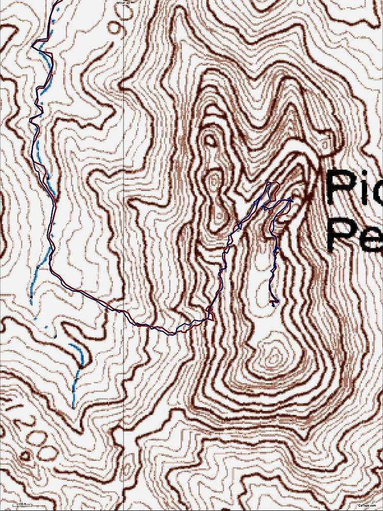
The route from GPS tracks for ascent and descent. The GPS does not track well under the overhanging ledges, but the main features are correct. The topo lines near the top are massively screwed up, implying that the area of the "true" summit is at least 175 feet lower than the north part of the peak. The original topo map was made by photogrammetry, and was not checked by an optical survey. Photogrammetry often yielded errors when there was a cliff in shadows on the side of a summit. See
corresponding photo.


