Toggle navigation
Mountains
Routes
Images
Trip Reports
Forum
What's New
People
Areas & Ranges
Articles
Trailheads
Canyons
Huts & Campgrounds
Albums
Logistical Centers
Fact Sheets
Lists
Custom Objects
Gear
Plans & Partners
WELCOME TO SUMMITPOST
SIGN IN
REGISTER
User Profile Image
User Profile Image
View High-Resolution Image
User Profile Image
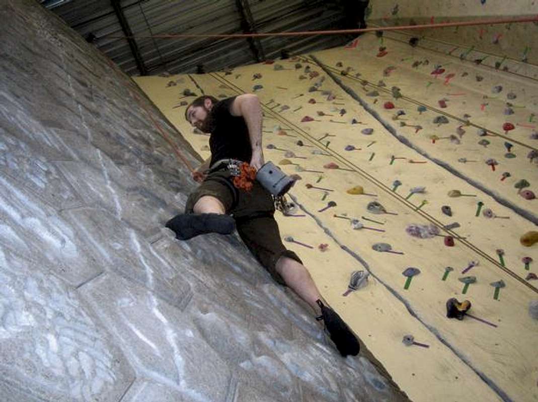
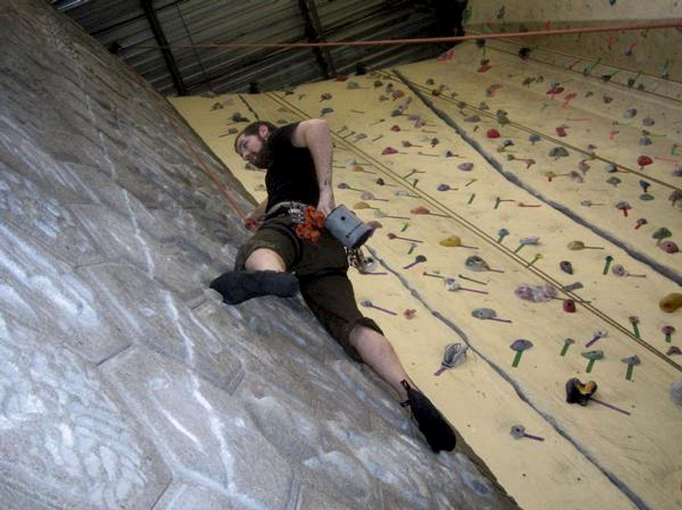
Appearently those tiles are supposed to simulate the conditions at Smith rock... sadly wouldn't know though. The crack to the right is a nice finger crack and to the far right is a nice hand jammer with a few opportunties for some arm bars
« PREV
NEXT »
snowcdh
on
Jan 16, 2008 8:45 pm
Comments & voting
Other parents
Lat/Lon:
45.52319°N / 122.65343°W
Image Type(s):
Rock Climbing
Image ID:
373426
910 Hits
0
% Score
0
Votes
Log in to vote
Comments
No comments posted yet.
to post!
Don't have an account?
snowcdh's Image Gallery
« PREV
Viewing
#2 of 2
GALLERY
You are at
the Last
Image
×
You need to login in order to vote!
User Name
Password
Remember me
Forgot your password?
Log me out when I close my browser.
Keep me logged in all the time.
sign in as a user
Don't have an account?
Register now for FREE
Rating available
Suggested routes for you
People who climb the same things as you
Comments Available
Create Albums
Register Here

