Toggle navigation
Mountains
Routes
Images
Trip Reports
Forum
What's New
People
Areas & Ranges
Articles
Trailheads
Canyons
Huts & Campgrounds
Albums
Logistical Centers
Fact Sheets
Lists
Custom Objects
Gear
Plans & Partners
WELCOME TO SUMMITPOST
SIGN IN
REGISTER
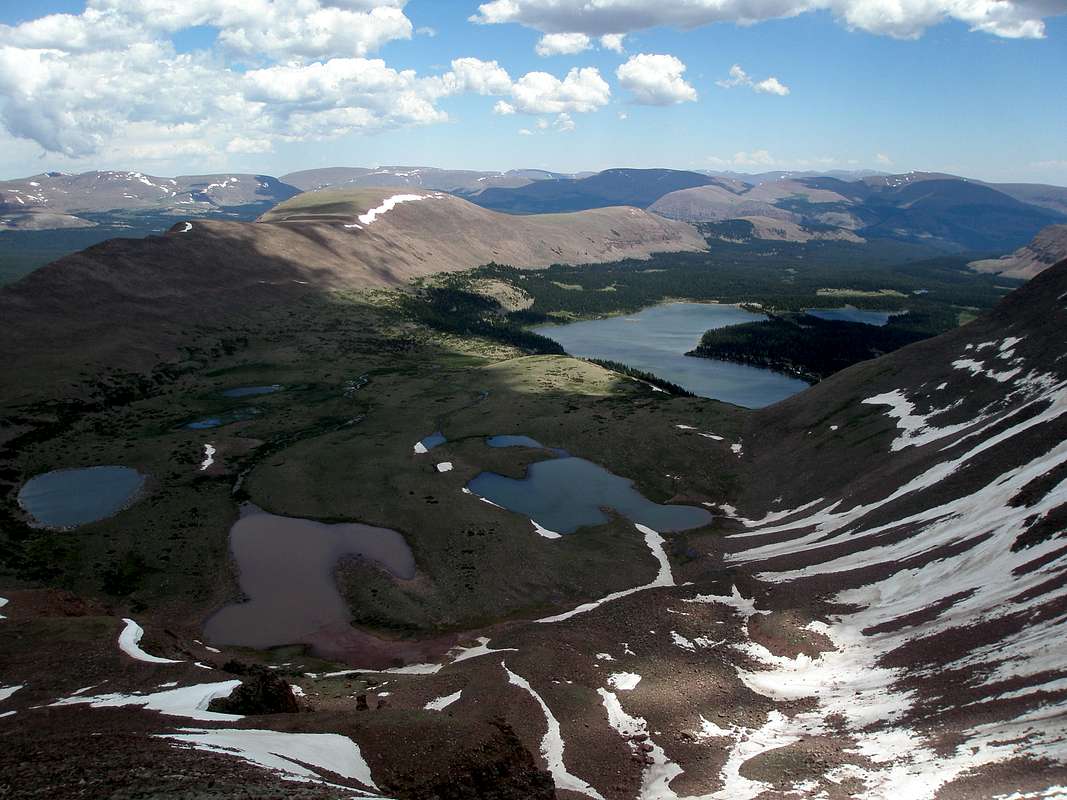
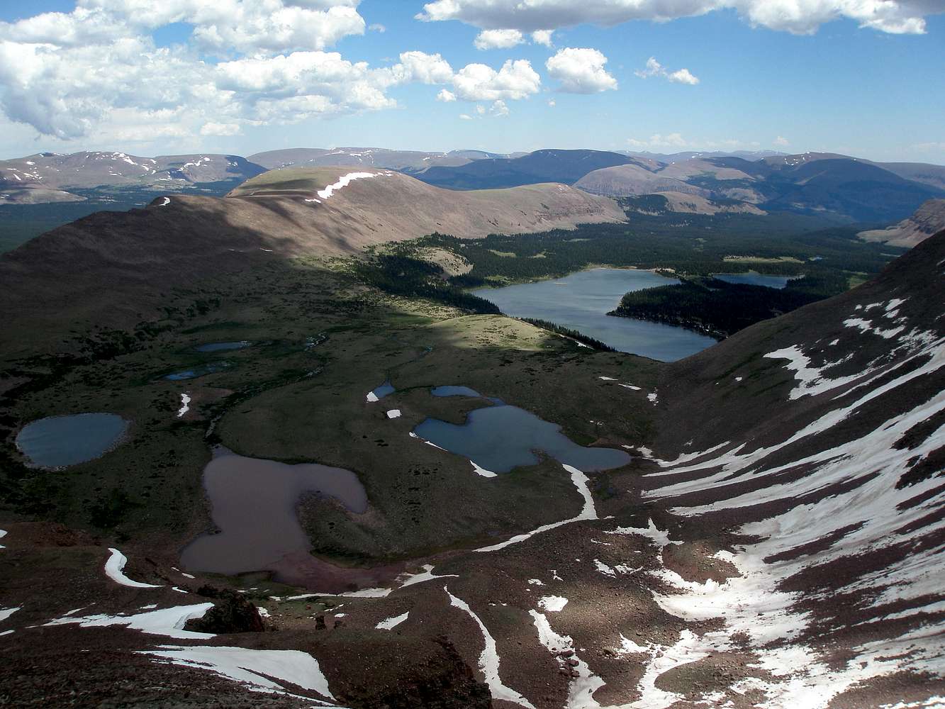
Val Benchmark
Additional Parents
Image
Val Benchmark
View High-Resolution Image
Val Benchmark
Val Benchmark (12516') lines the north side of Atwood Basin. The biggest lake (on the right) is Lake Atwood. July-7-2009
« PREV
NEXT »
ZeeJay
on
Jul 13, 2009 5:29 pm
Comments & voting
Other parents
Lat/Lon:
40.76053°N / 110.2886°W
Image Type(s):
Hiking
Image ID:
529289
1747 Hits
79.04
% Score
10
Votes
Log in to vote
Comments
No comments posted yet.
to post!
Don't have an account?
Val Benchmark
(Mountain/Rock)
« PREV
Viewing
#10 of 19
GALLERY
NEXT »
ZeeJay's Image Gallery
« PREV
Viewing
#642 of 1388
GALLERY
NEXT »
×
You need to login in order to vote!
User Name
Password
Remember me
Forgot your password?
Log me out when I close my browser.
Keep me logged in all the time.
sign in as a user
Don't have an account?
Register now for FREE
Rating available
Suggested routes for you
People who climb the same things as you
Comments Available
Create Albums
Register Here


