
Viewing: 1-2 of 2
samsloan - Dec 23, 2008 8:24 am - Hasn't voted
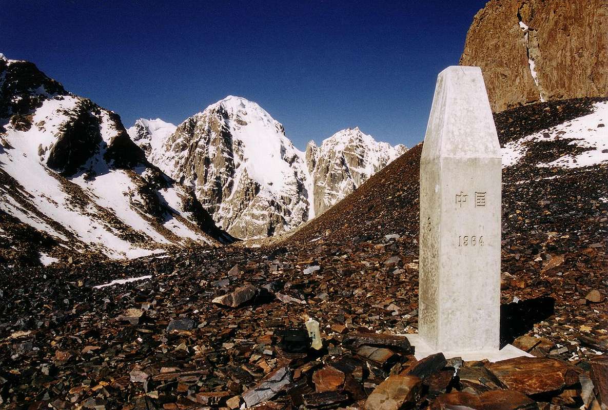
Geographic CoordinatesSince you have been there, could you please give the exact geographic coordinates of the Mintaka Pass?
I ask because I have been trying to find it on Google Earth and I believe that the coordinates provided by Wikipedia and others are not correct.

BigLee - Dec 24, 2008 8:04 am - Hasn't voted
Re: Geographic CoordinatesHi, I've pin-pointed the point I took this photo as best I can on the Summitpost's Google Earth map. Just click on the coordinates in blue on the right hand side to see the map. Any other coordinates you find for the pass may have been taken from conventional non-satellite based maps which are usually unreliable when it comes to specific coordinates. Hope that's some help.
Viewing: 1-2 of 2


Comments
Post a Comment