Toggle navigation
Mountains
Routes
Images
Trip Reports
Forum
What's New
People
Areas & Ranges
Articles
Trailheads
Canyons
Huts & Campgrounds
Albums
Logistical Centers
Fact Sheets
Lists
Custom Objects
Gear
Plans & Partners
WELCOME TO SUMMITPOST
SIGN IN
REGISTER
Untersberg
Additional Parents
Image
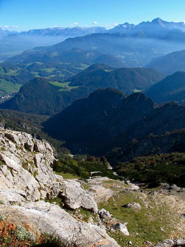
View to the south east...
View High-Resolution Image
View to the south east...
...from the Thomas Eder trail leading through the east wall of the Untersberg. Behind the hills of the Marktschellenberg-Oberau area, The Tennengebirge range and the Hoher Göll (2524m).
« PREV
NEXT »
EricChu
on
Oct 8, 2011 5:37 am
Comments & voting
Other parents
Lat/Lon:
47.71196°N / 13.00296°E
Image ID:
752133
599 Hits
75.81
% Score
6
Votes
Log in to vote
Comments
No comments posted yet.
to post!
Don't have an account?
Untersberg
(Mountain/Rock)
« PREV
Viewing
#318 of 371
GALLERY
NEXT »
EricChu's Image Gallery
« PREV
Viewing
#2910 of 3187
GALLERY
NEXT »
×
You need to login in order to vote!
User Name
Password
Remember me
Forgot your password?
Log me out when I close my browser.
Keep me logged in all the time.
sign in as a user
Don't have an account?
Register now for FREE
Rating available
Suggested routes for you
People who climb the same things as you
Comments Available
Create Albums
Register Here


