
Comments
No comments posted yet.
|
|
Trip Report |
|---|---|
|
|
31.69611°N / 110.84809°W |
|
|
Download GPX » View Route on Map |
|
|
Oct 30, 2022 |
|
|
Hiking, Mountaineering |
|
|
Fall |
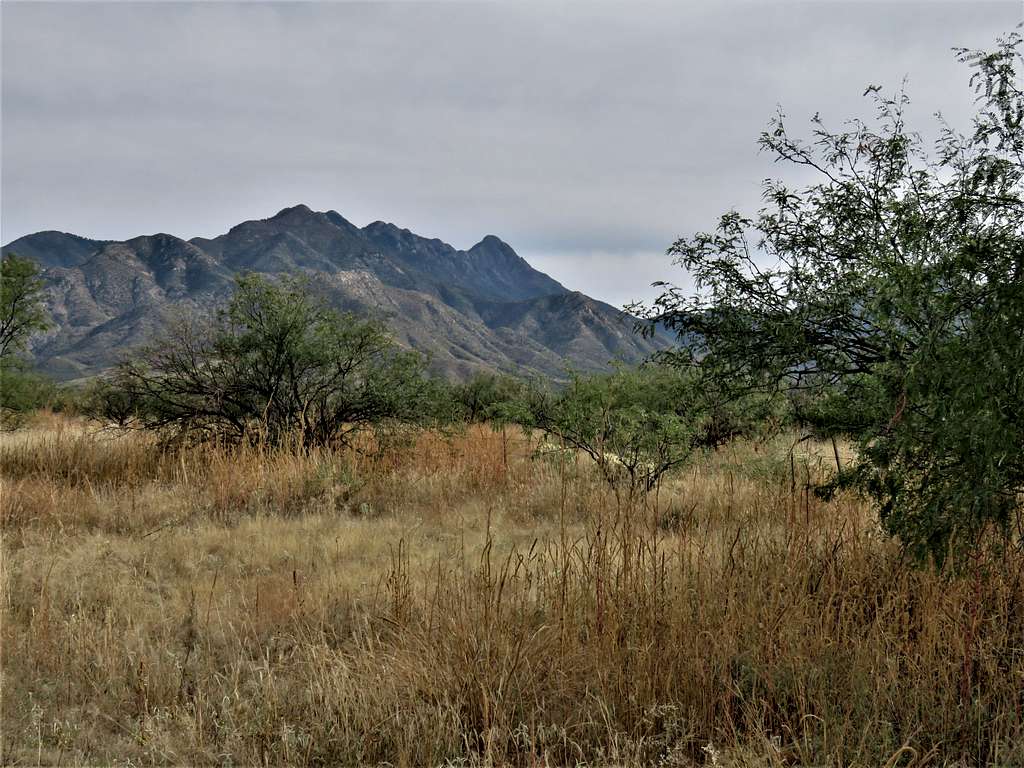
The 9453 ft Mt. Wrightson is the highest point of the Santa Rita Mountains that rise 35 miles to the south of Tucson, Arizona. With a prominence of 4591 ft, Mt. Wrightson is Arizona’s 8th most prominent peak and the 49th highest ranked peak. The usual starting point for hiking to the summit of Mt. Wrightson is the 5400 ft Madera Canyon Trailhead to the northwest of the peak. Due to high elevation, most of the path goes through a forest far above the Sonoran Desert flora that covers much of the lower elevations in this part of Arizona.
Trailhead Elevation: 5410 ft
Summit of Mt. Wrightson: 9453 ft
Roundtrip Hiking Distance per my GPS: 10.95 miles
Total Ascent per my GPS: 4066 ft
Left the vacation rental house in Oro Valley north of Tucson at 5:30 AM (sunrise 6:40 AM). Had a 55-mile drive. On Madera Canyon Road, I stopped to take a picture of Mt. Wrightson and the Santa Rita Mountains.
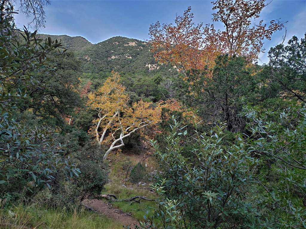
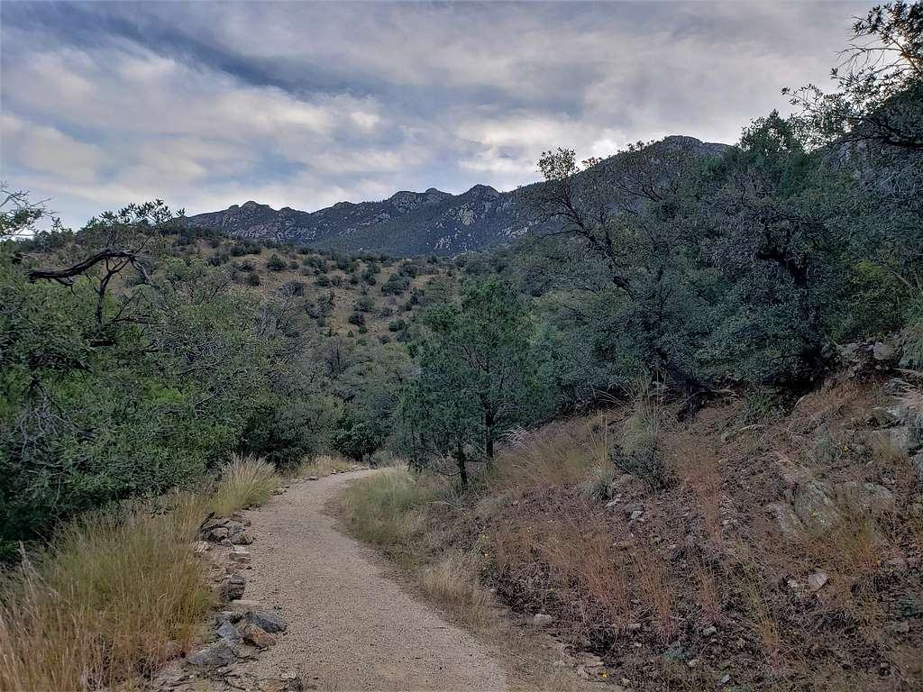
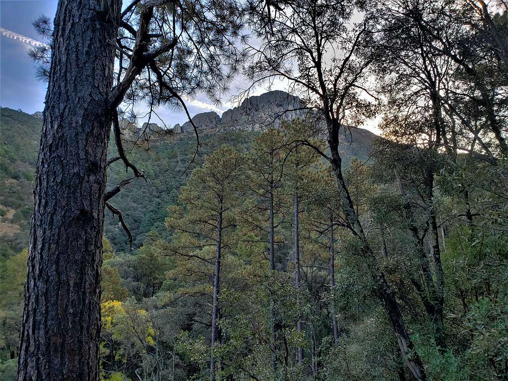
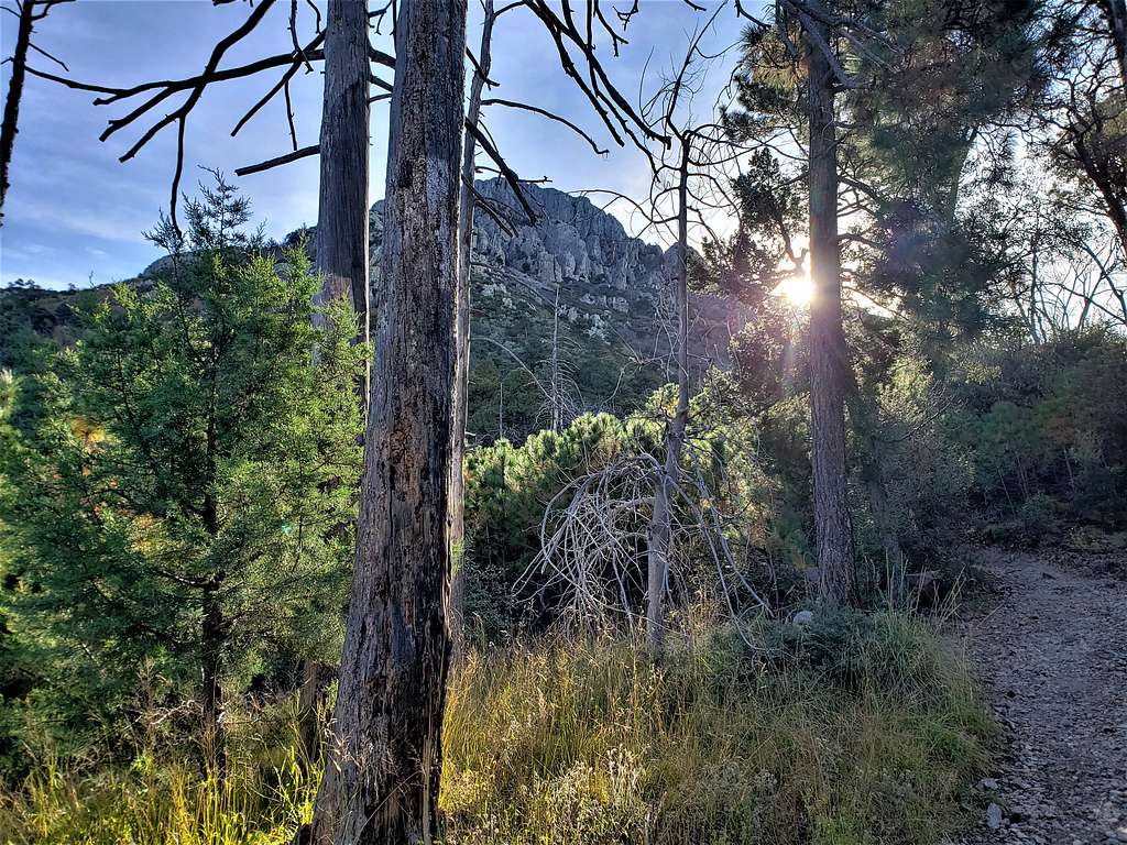
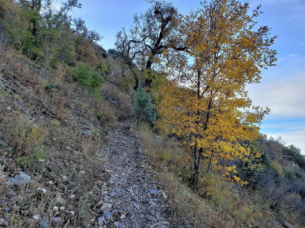
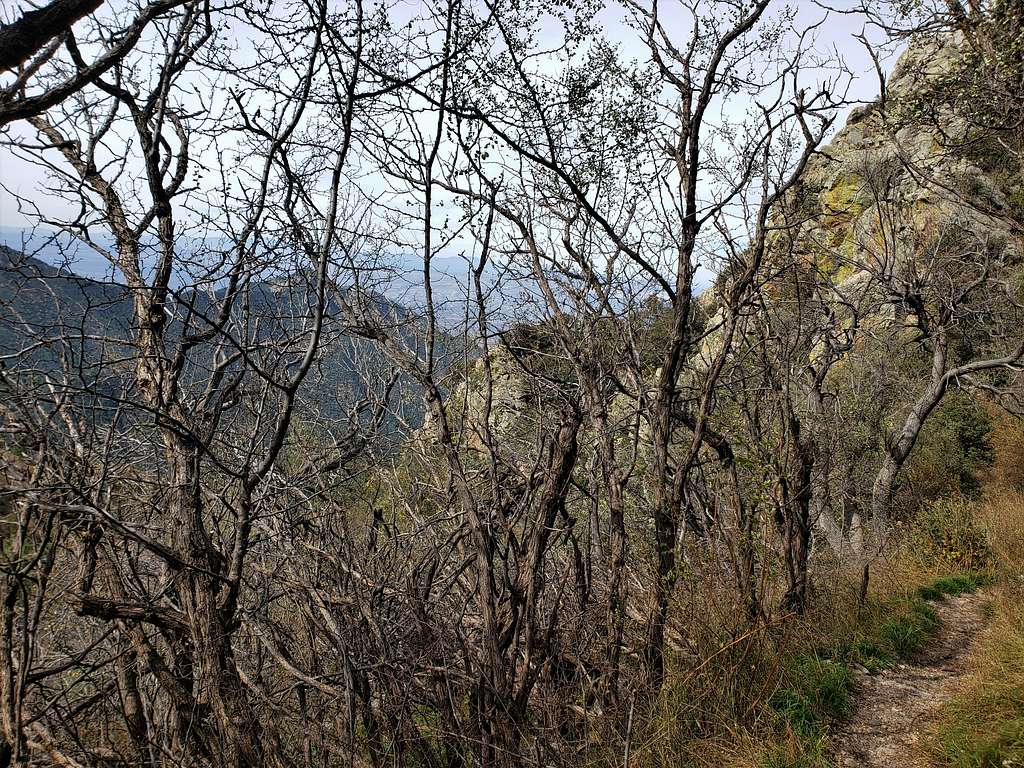
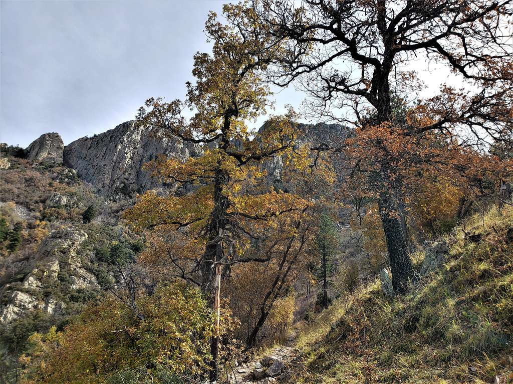
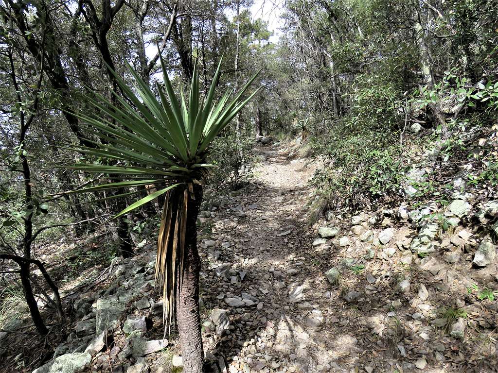
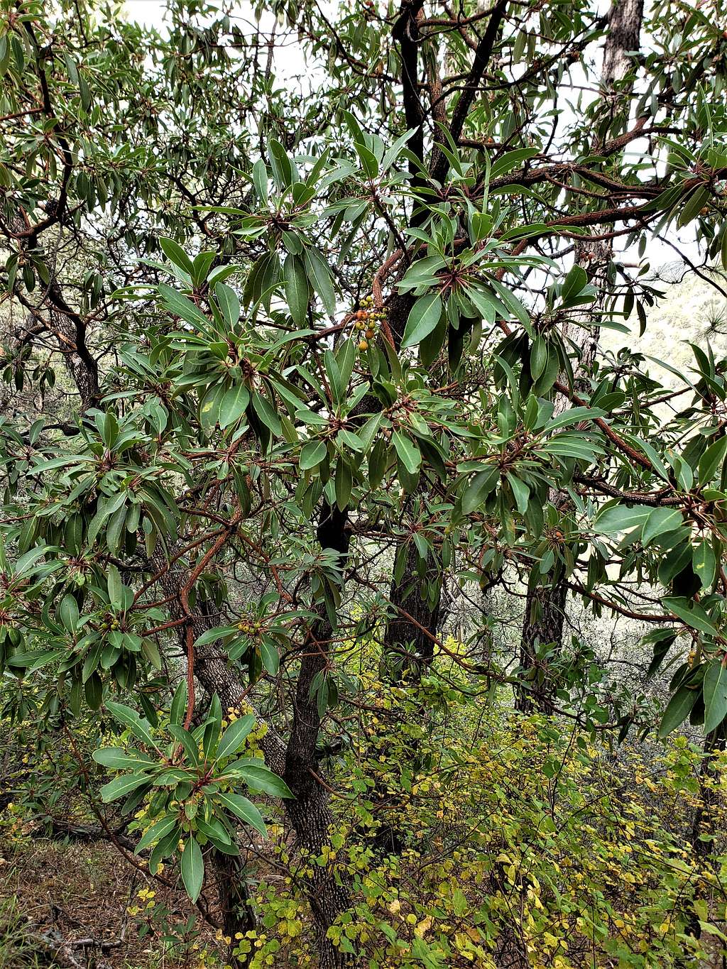
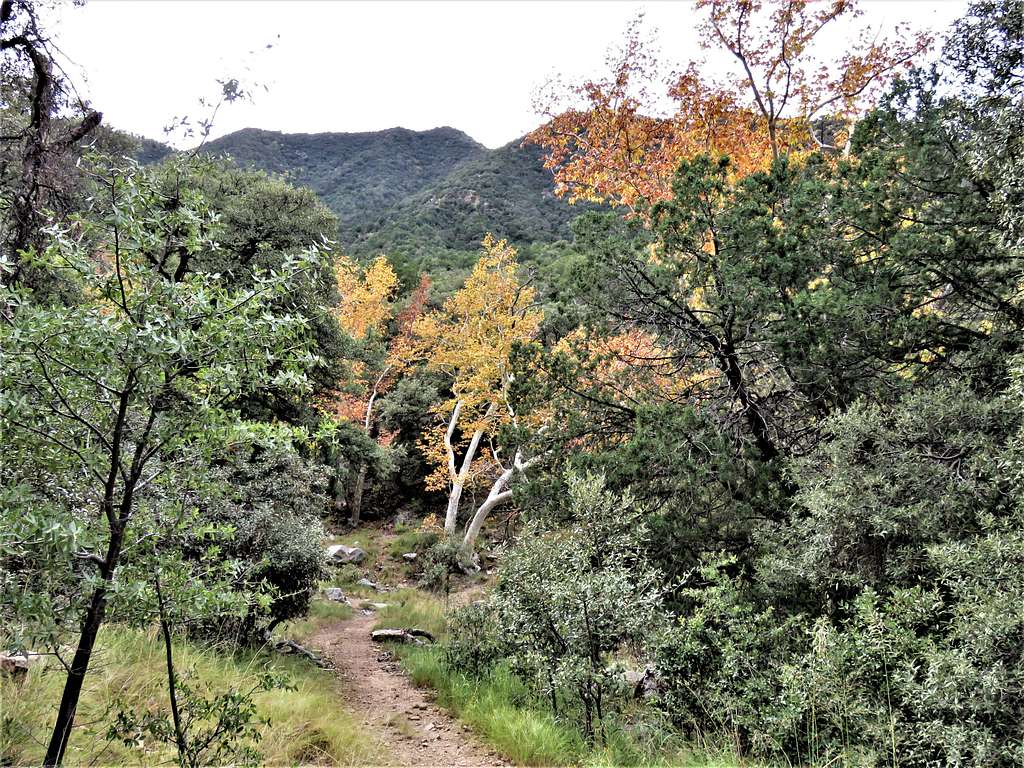
Reached the trailhead and by the time I started my hike, it was 7:00 AM. Elevation was 5410 ft and it was in the low 40s degrees F. Got on Old Baldy Trail and began to follow it up the slopes in a forest that was all green except for a few fall colored deciduous trees here and there.
A couple of ladies my age had started their hike shortly before me. I passed them but as I stopped to take picture often, they kept catching up with me. This situation lasted for a while until I did not take pictures for some time when I got way ahead of them. Beautiful forest and glimpses of the summit.
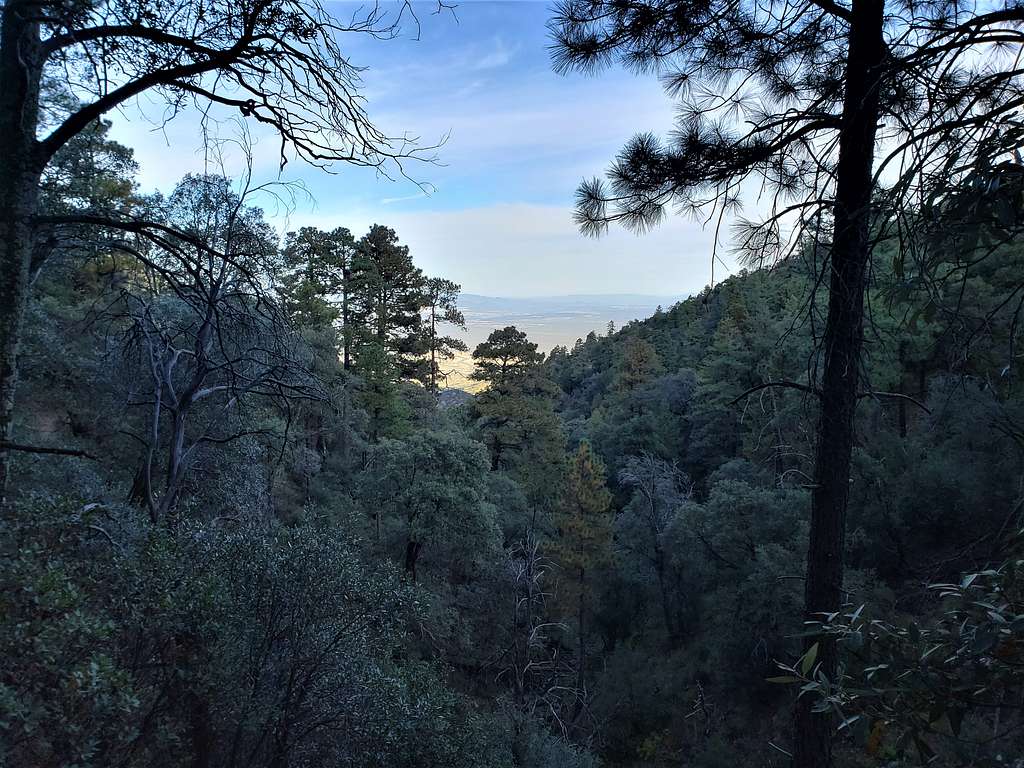
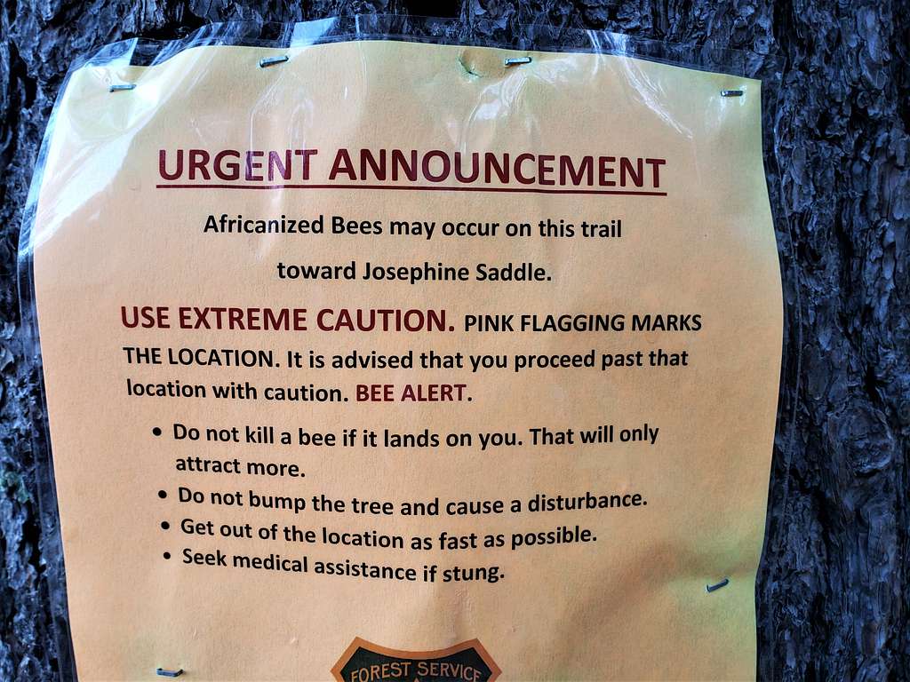
A sign on the trail warned about Africanized Bees ahead. I quickly and cautiously went past a tree that was marked by a pink ribbon. Fortunately, nothing happened (on the way up and down). Loved that last sentence “Seek medical assistance if stung”. At that point, I was 2 miles from trailhead and 45 miles from Tucson.
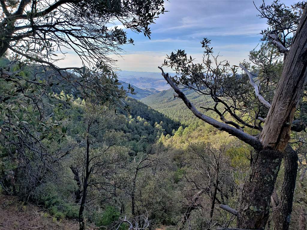
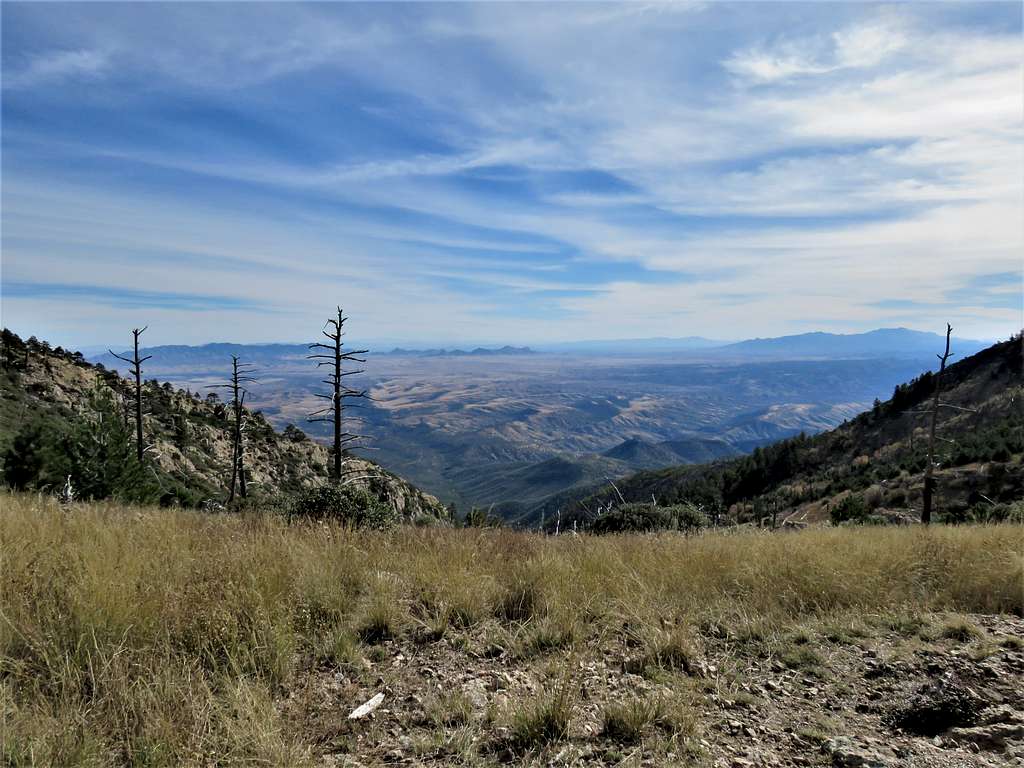
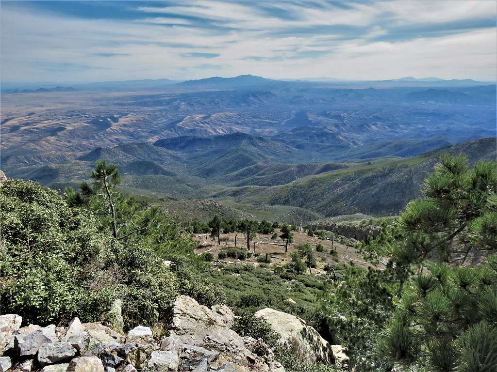
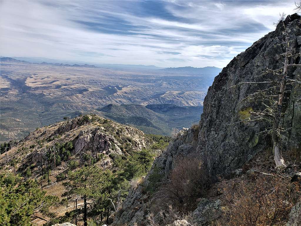
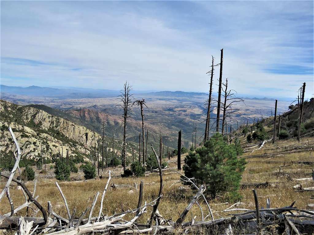
At 8:23 AM, 2.56 miles and 7090 ft elevation, I reached Josephine Saddle (and the junction with Super Trail).Looking down the canyon where the trail came from.
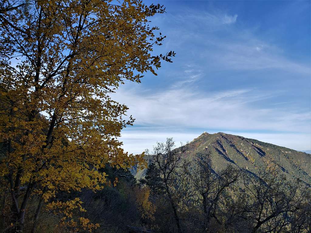
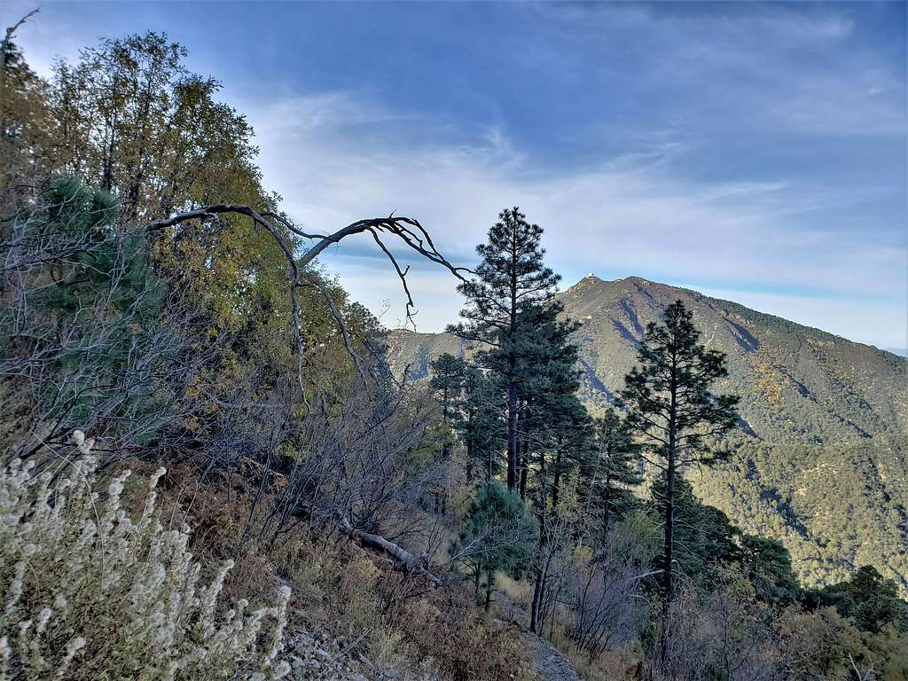
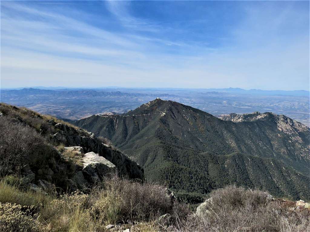
Mount Hopkins and Fred Lawrence Whipple Observatory.
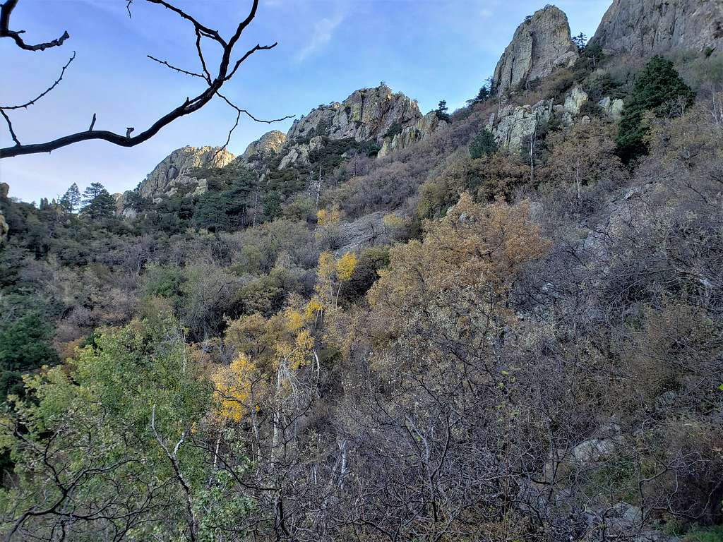
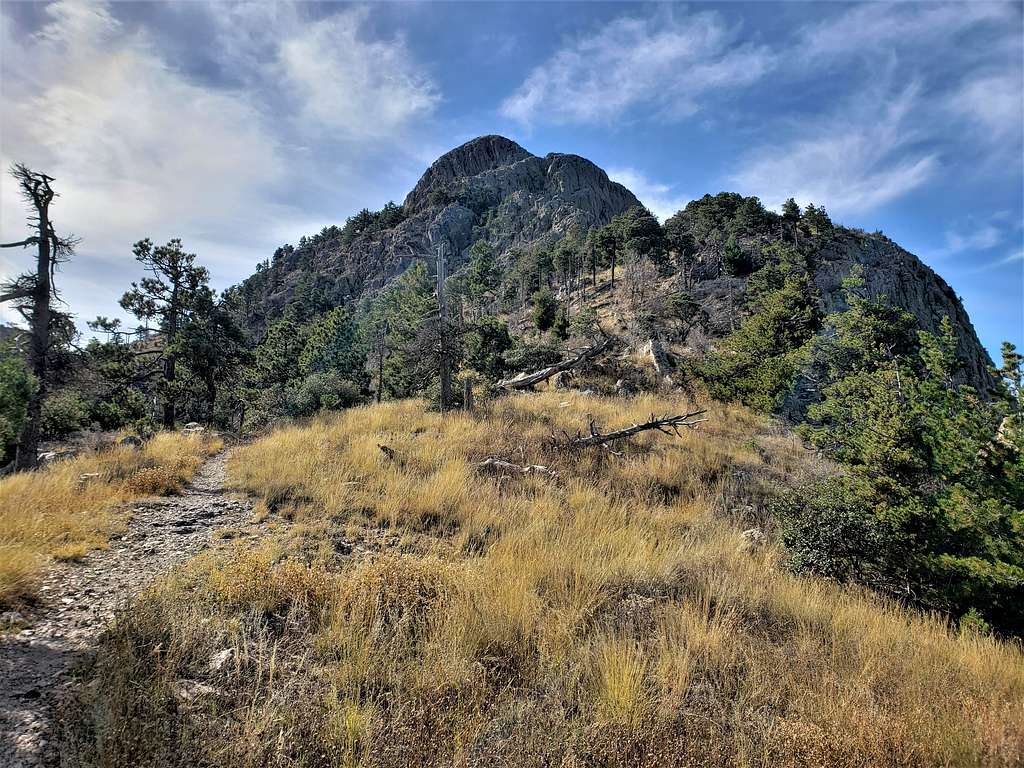
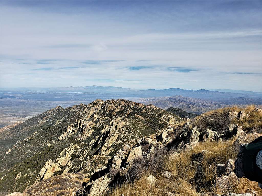
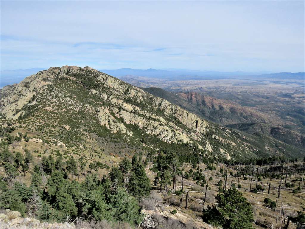
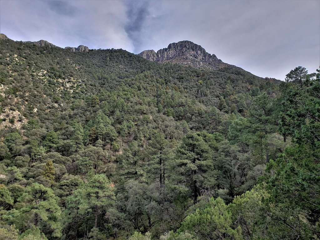
Summit and the ridgeline to the north of it.
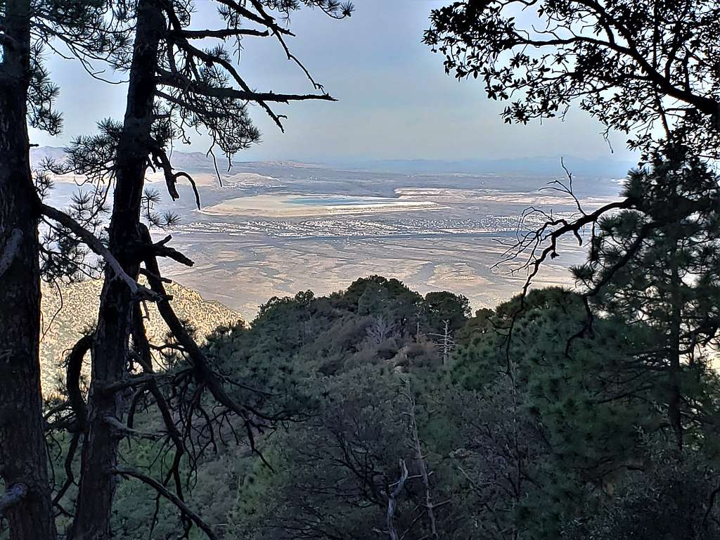
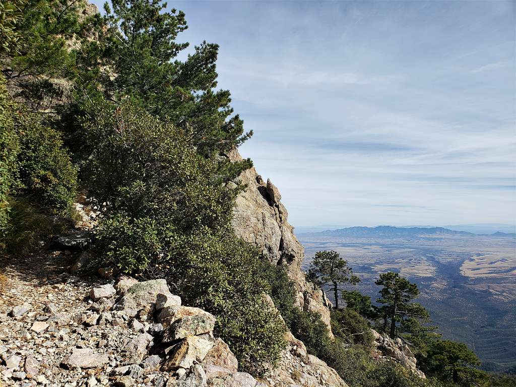
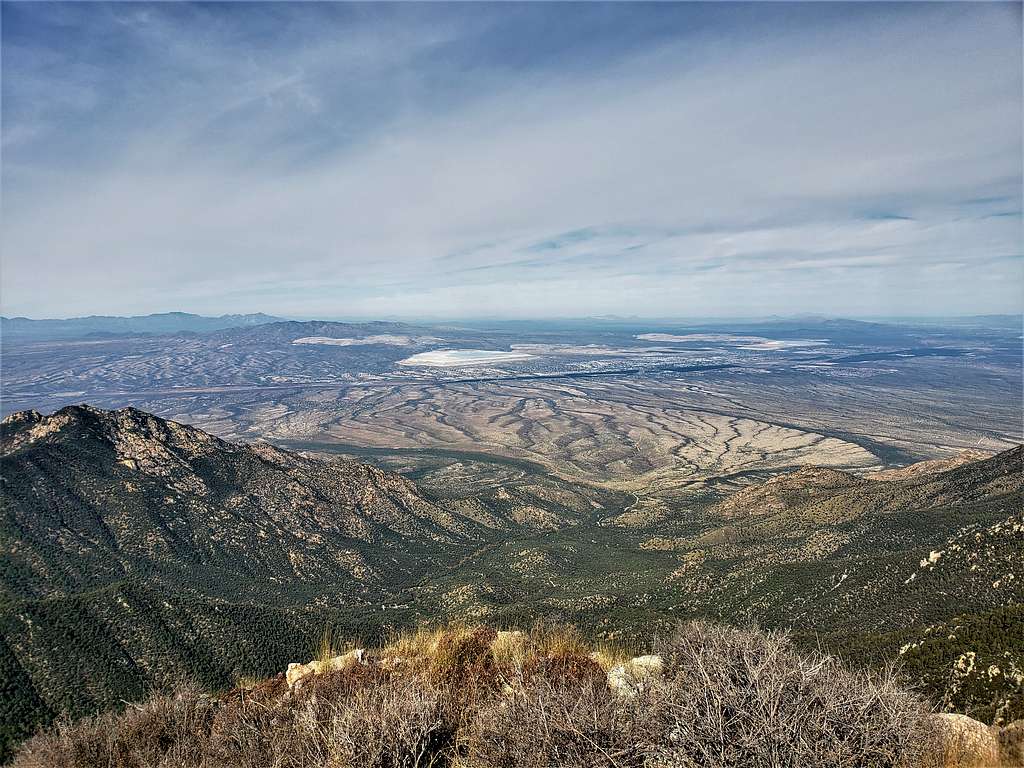
Looking toward Sierrita Mine southwest of Tucson.
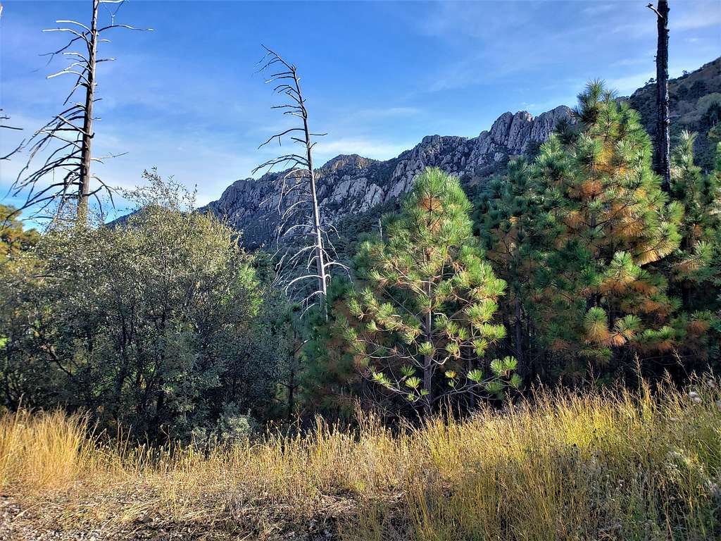
Fall-colored trees, Mt. Hopkins and the observatory.
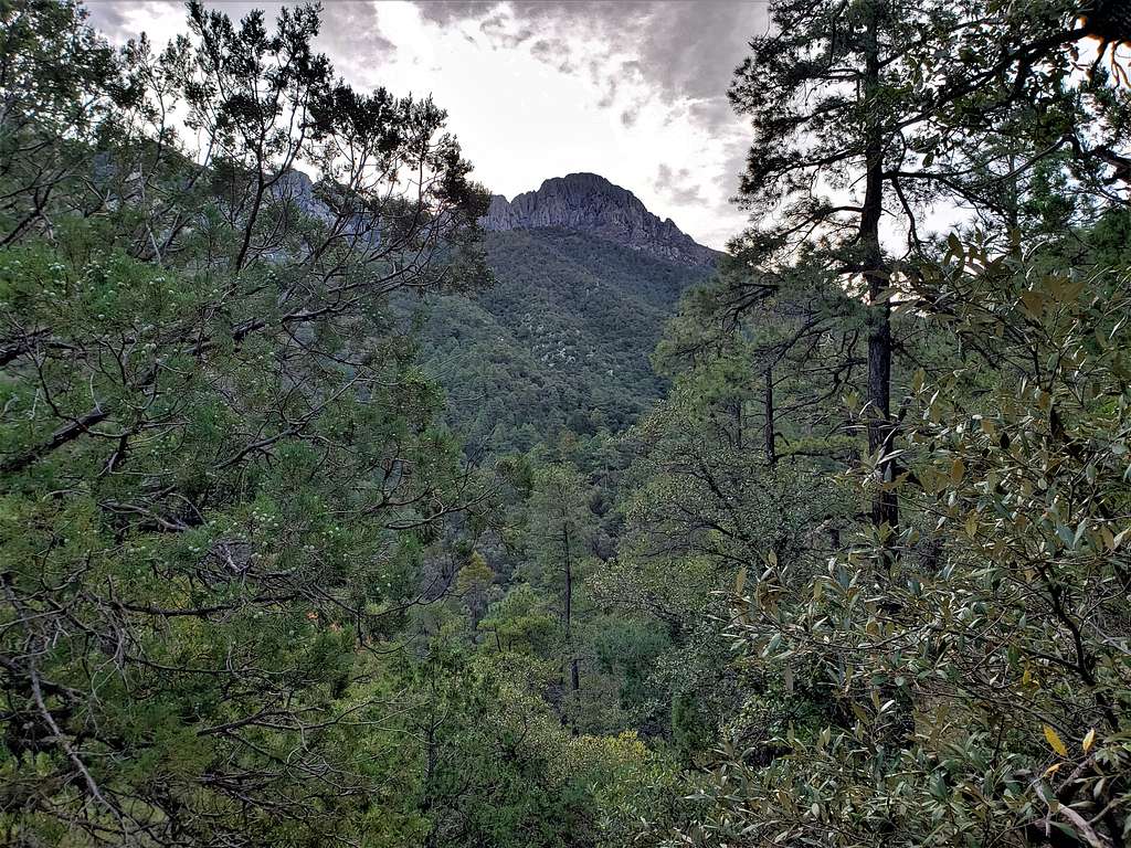
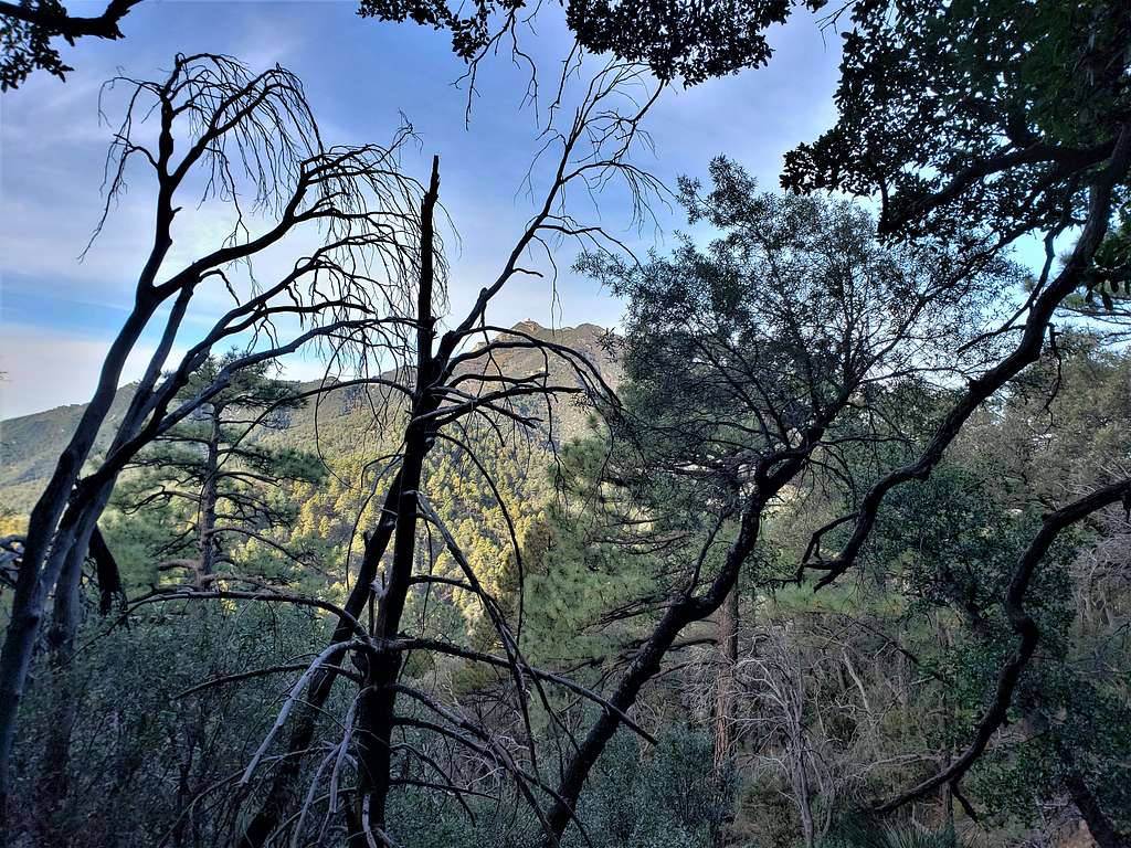
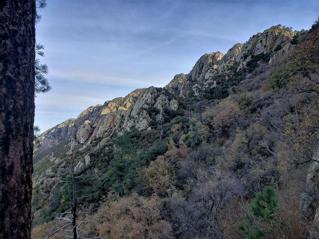
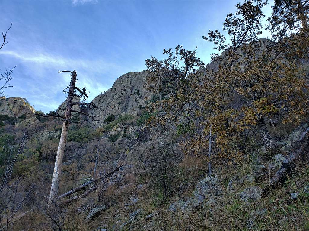
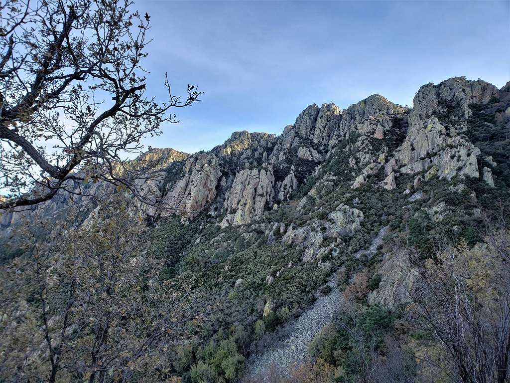
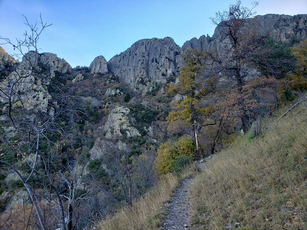
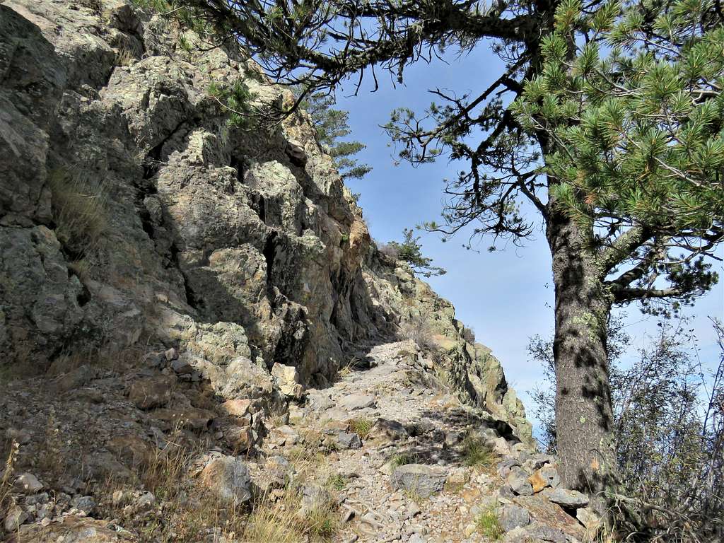
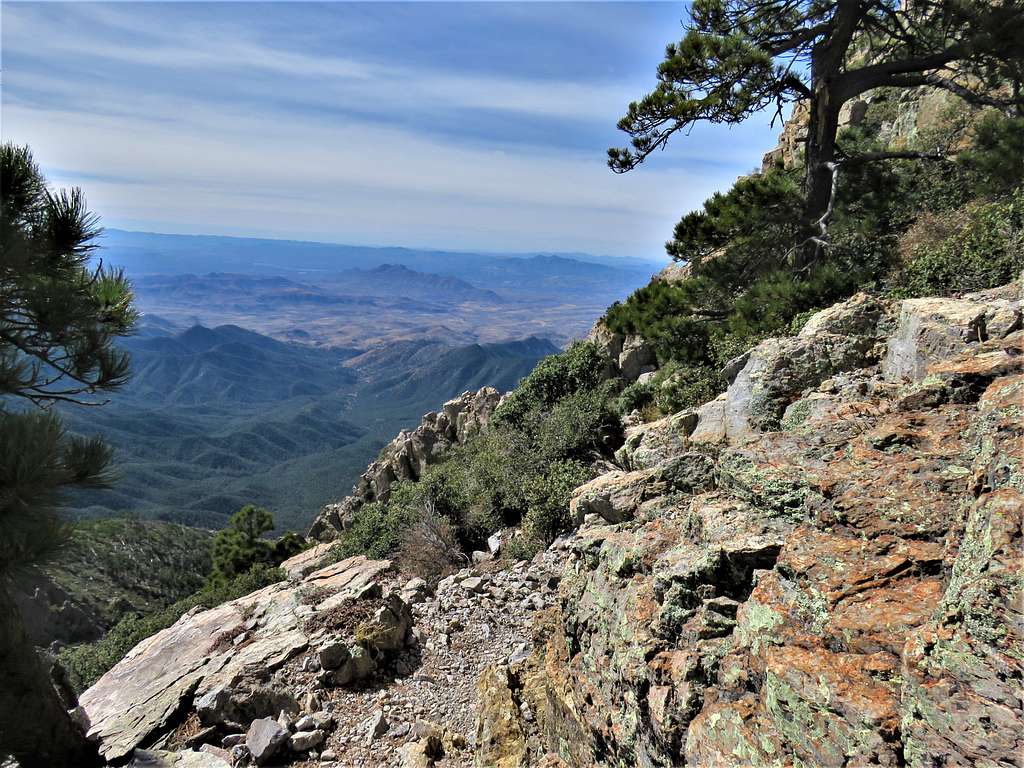
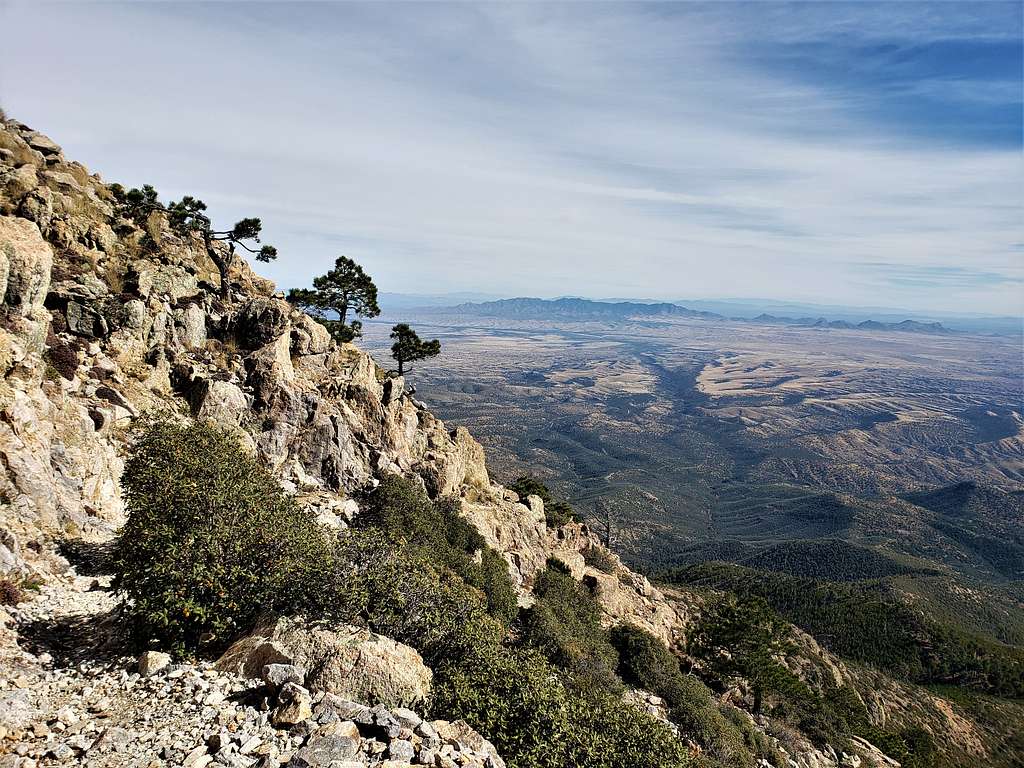
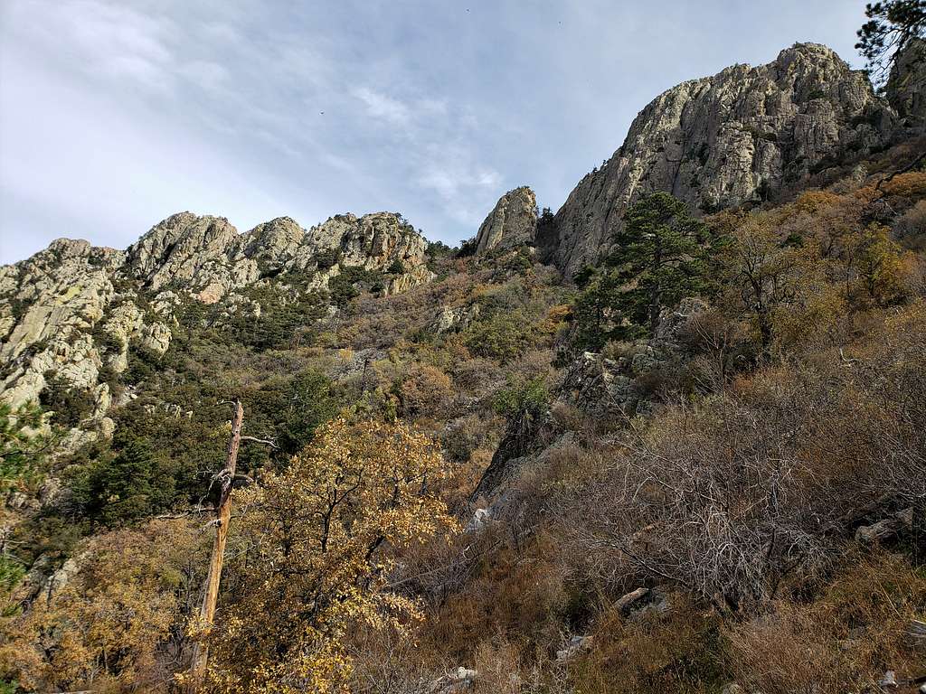
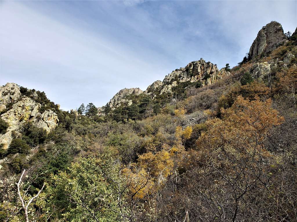
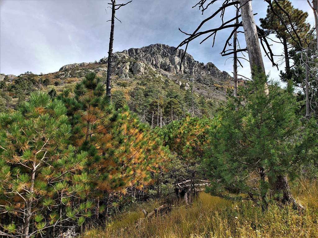
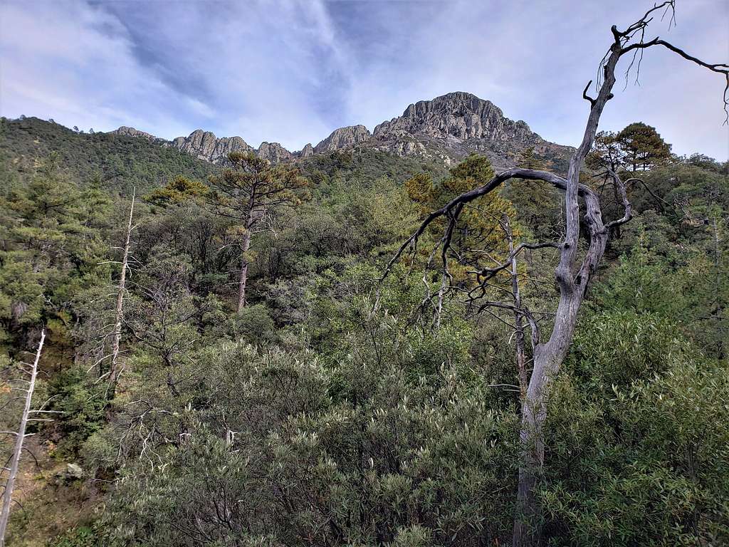
After a turn in the trail, spectacular views of the cliffs below the summit and the ridgeline to the north of it came to view. I ran into a couple of guys who told me: “You missed the show. A black bear ran down the slopes”. The trail made what felt like a million switchbacks going up toward a saddle to the north of the summit. Saw bear scat in many places.
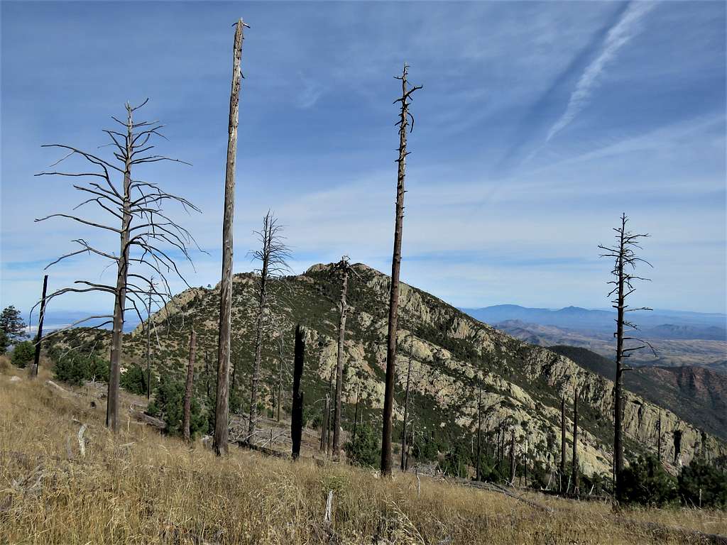
At 9:51 AM, 4.57 miles and 8750 ft elevation, I reached a saddle where view to the east appeared. Miller Peak could be seen to the distant southeast. I sat there for 10 minutes to eat and rest. The two guys and the ladies I had seen earlier arrived and stopped there for rest.
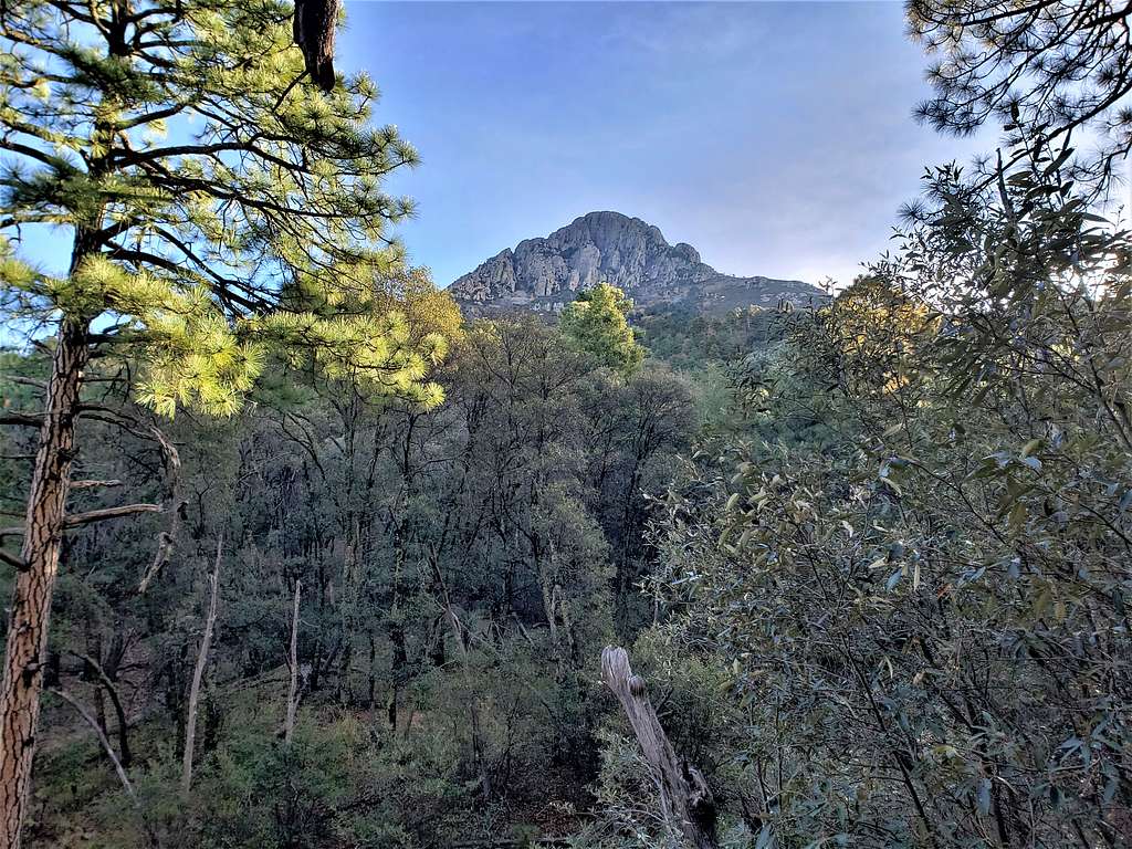
Back on the trail, view of the summit.
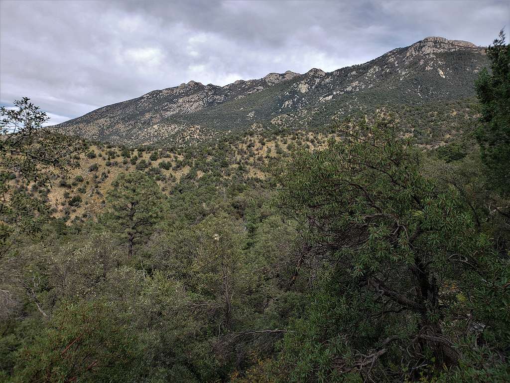
Looking back toward the saddle and Mt. Ian. Mount Mica and Rincon Peak to the right.
Upper parts of the trail. A couple of speed walkers came from behind and passed me.
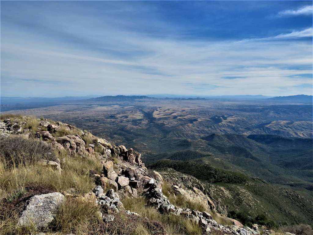
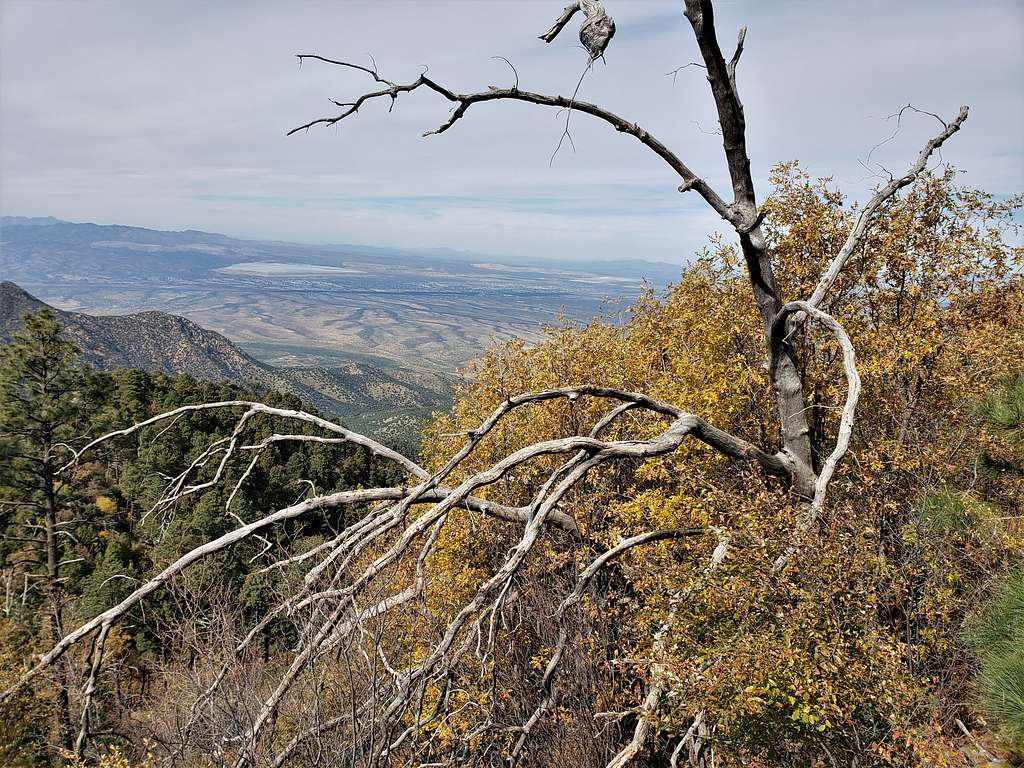
Reached the summit at 10:45 AM and 5.50 miles. The two speed walkers were there. The two guys and ladies came too after a few minutes. The weather was wonderful, views in every direction. Looking northeast toward the Whetstone Mountains and Gardner Canyon.
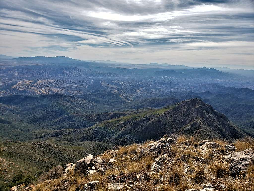
Miller Peak to the southeast. View into Mexico.
Looking north toward Tucson. Mt. Lemmon, Mica Mountain, Rincon Peak, Mt. Ian etc.
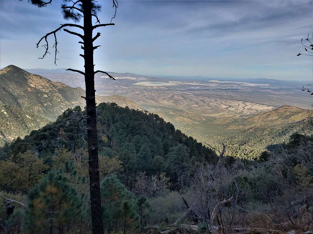
Looking northwest. Sierrita Mine area.
Mt. Hopkins and observatory to the west.
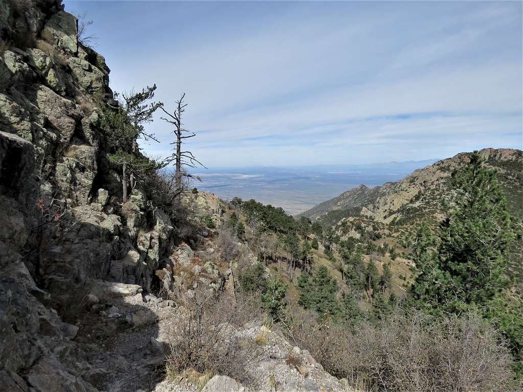
I had thought of going down via the longer Super Trail. Talking to the people on the summit, they said that trail was overgrown. Since I had a long drive back home, I decided to go back the way I had come up leaving at 11:00 AM. Below the summit.
Further down.
Reached the 8750 ft saddle at 11:41 AM and took a short rest. A few people were there.
Start of the seemingly endless zigzags below the saddle.
Fall colors. The weather was so pleasant. I was really enjoying being there.
A look back at the summit.
In the forest.
Continuing down below Josephine Saddle.
Beautiful trees. Reminded me of Texas Madrone Trees I had seen in Guadalupe Mountains National Park.
Fall colored trees among a sea of green.
Reached the trailhead at 2:30 PM. A lot of people were there.