
Comments
No comments posted yet.
|
|
Trip Report |
|---|---|
|
|
Download GPX » View Route on Map |
|
|
Feb 8, 2023 |
|
|
Hiking |
|
|
Winter |
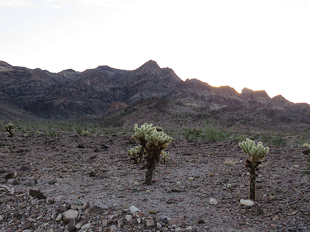
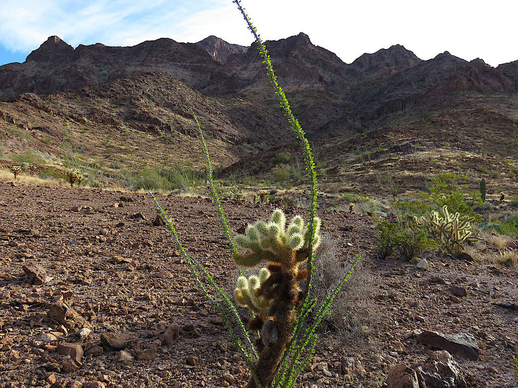
The 3103 ft Black Tank Benchmark rises in southwestern Arizona’s KOFA National Wildlife Refuge. No trail goes to its summit. I had planned to climb Black Tank Benchmark via its southern slopes where Google Earth had shown a possible path without significant difficulties. The day before my hike, however, I felt that I did not want to get myself involved with potentially nasty slopes therefore, I changed my plans to a leisurely hike at the base of the Benchmark.
Hike Length: 7.8 miles
Elevation Range: 1245 to 1615 ft
February 8, 2023
Left Yuma, Arizona at 6:30 AM (sunrise 7:30) and drove north on Route 95 to past mile marker 70 where I turned onto an unnamed two track on the east side of the road. Followed the two track 1.5 miles east on the desert plain toward the mountain range that ran north-south in front of me. The two track was not too rough. I had a rental pickup truck. At the border of KOFA National Wildlife Refuge, there was a sign that said no vehicles, so I parked there.
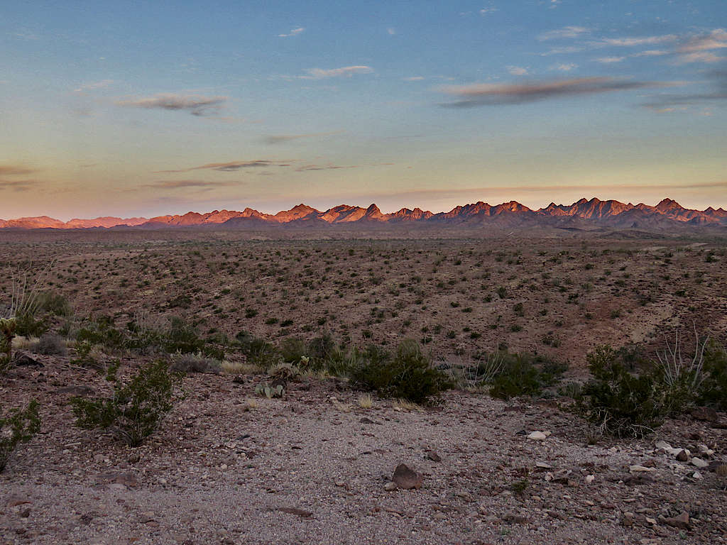
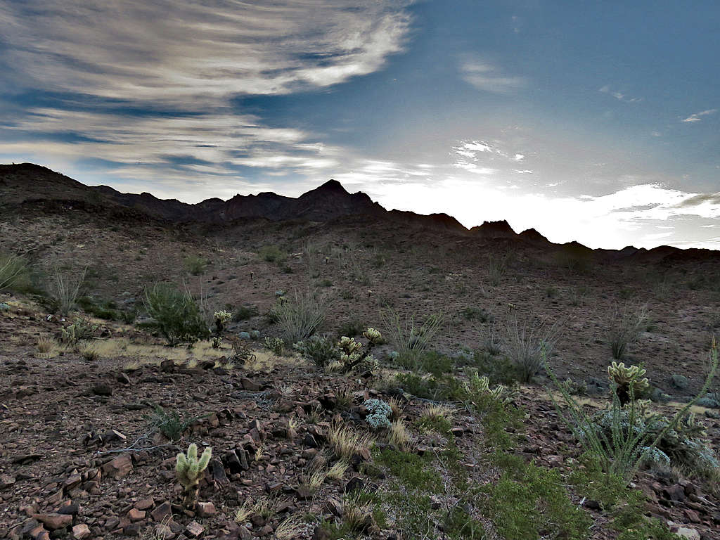
Started my hike at 7:35 AM. It was 50 degrees F. Sunrise over the distant mountains to the west.
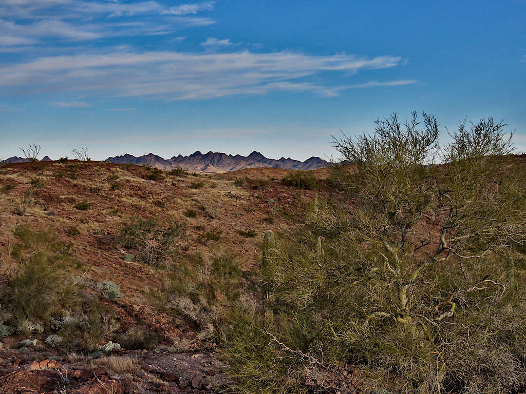
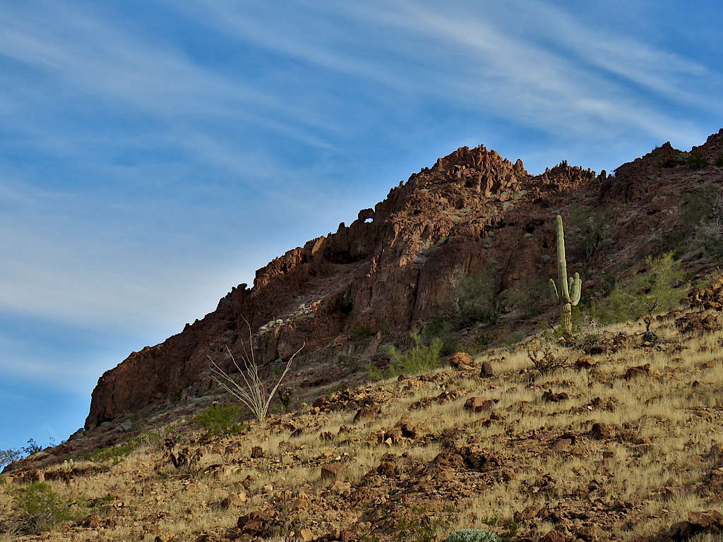
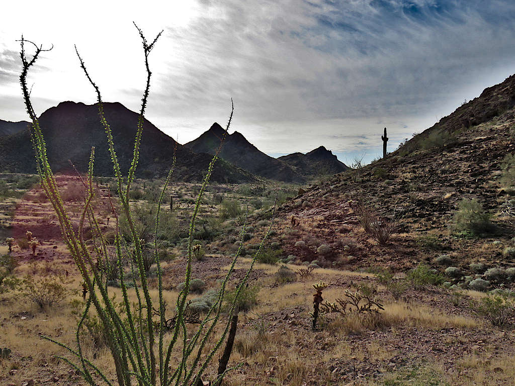
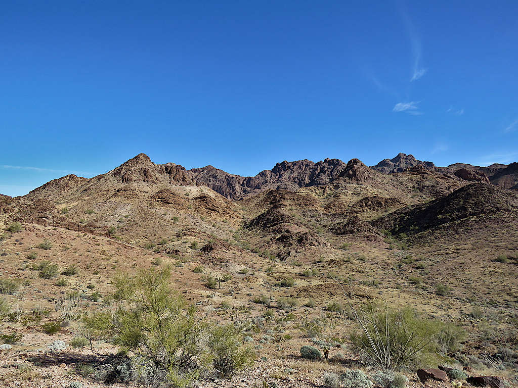
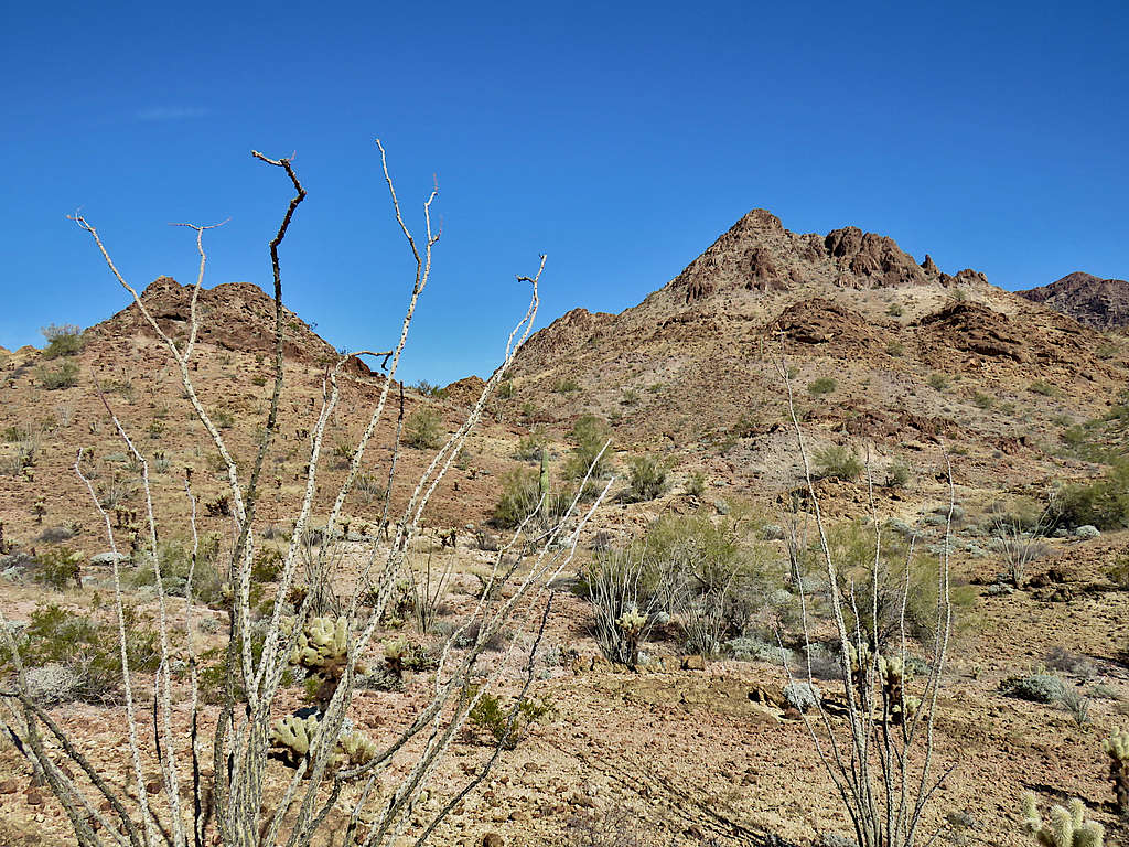
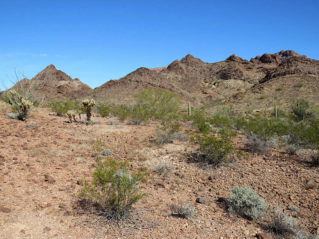
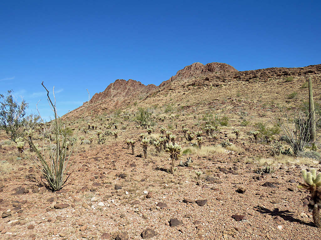
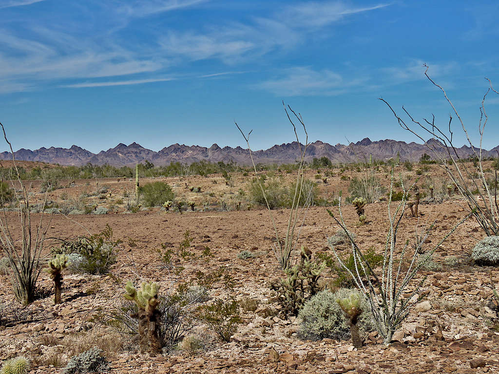
The mountains to the east, where Black Tank Benchmark was, appeared rough. I was actually happy that I did not need to worry about dangerous slopes and was looking forward to a relaxed hike in the beautiful desert. Did not see any people all day.
I needed to do a 2.75 mile hike up and down a maze of drainages that I had identified on Google Earth to reach the base of the southern slopes of Black Tank Benchmark where I had originally planned to start my climb. The new plan was to go to that spot and then instead of climbing the Benchmark, follow another path on the desert floor that I had entered into my GPS.
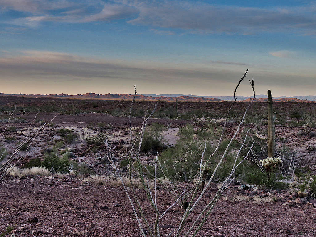
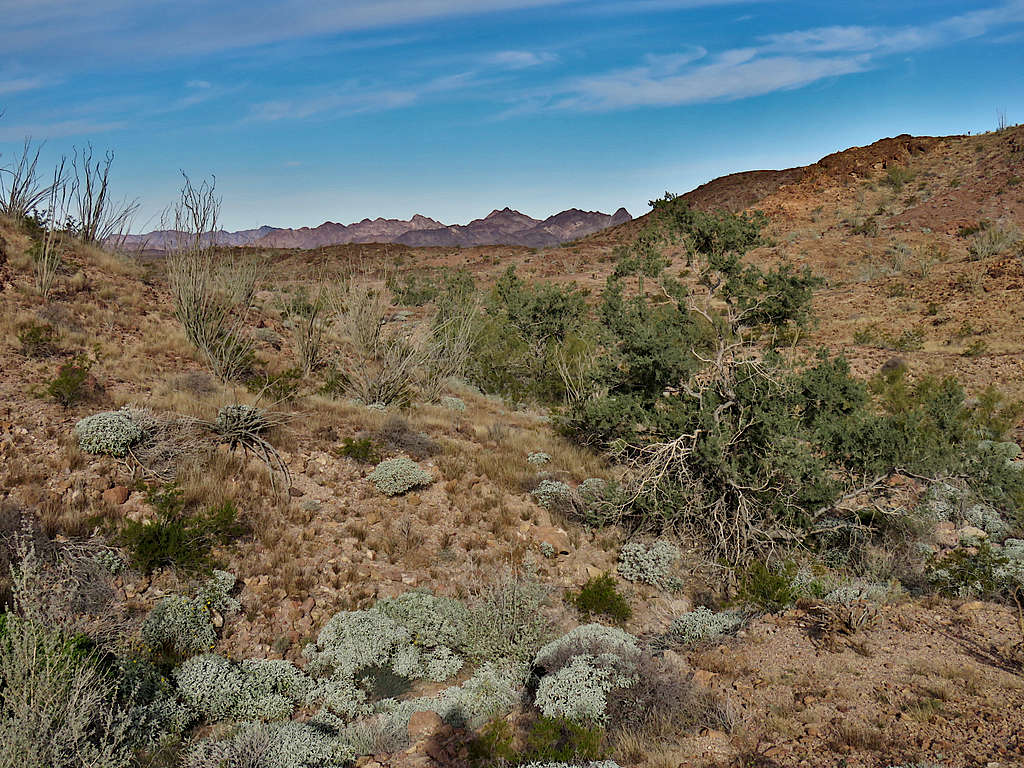
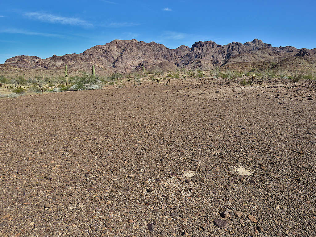
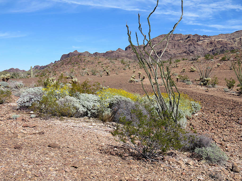
Hiked the road 0.2 miles east to where a spur road went north to Black Tank, presumably a water filled hole. I did not go to the tank, instead turned south following the path in my GPS cross country. View of the mountains to the west and south.
Mountains to the east.
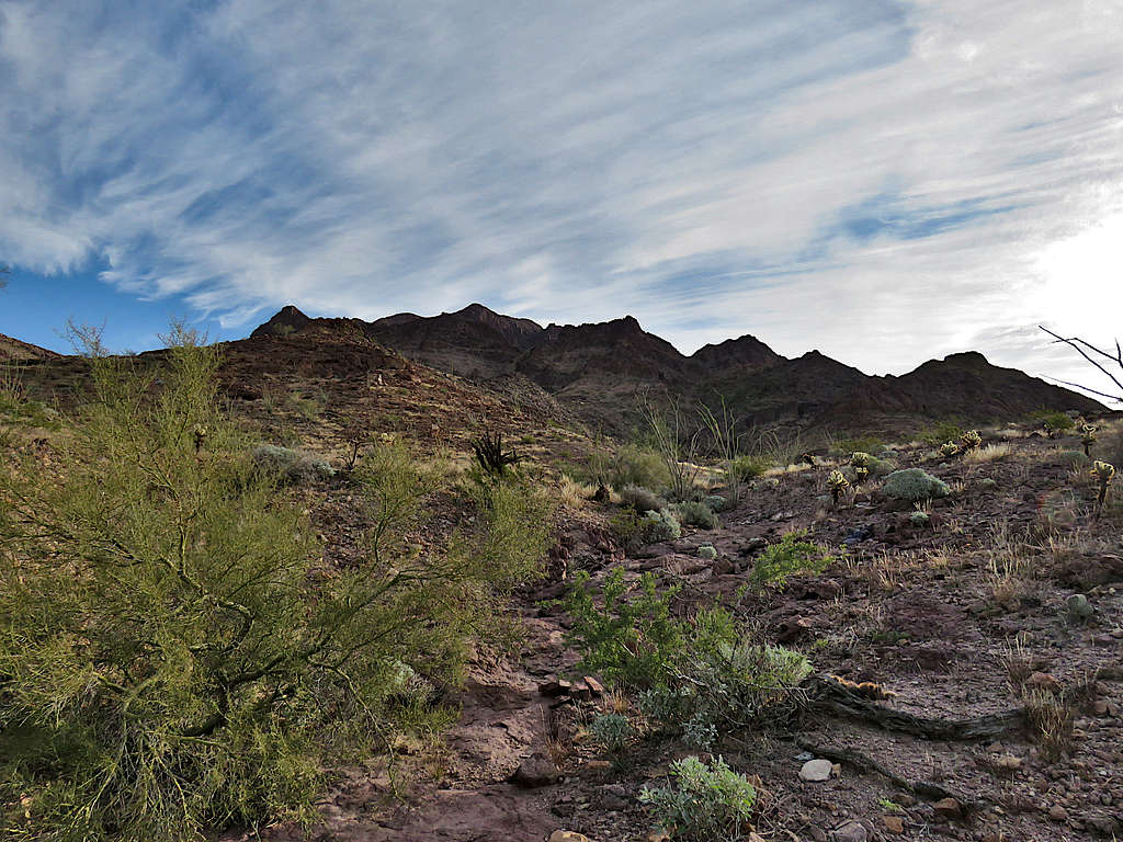
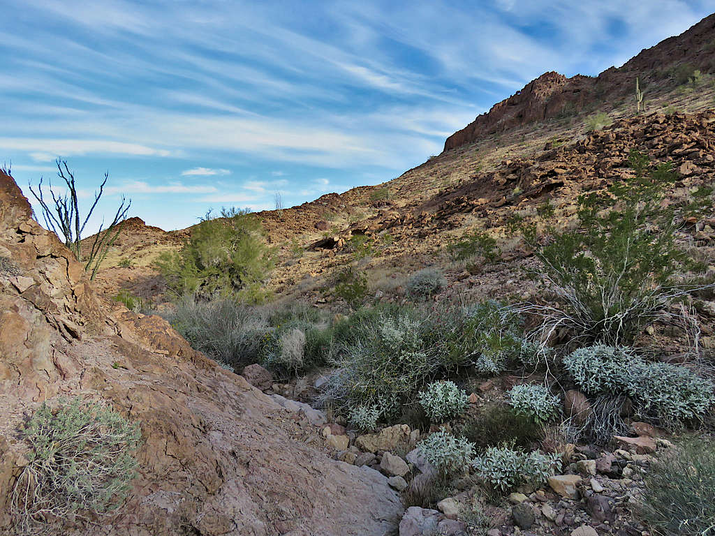
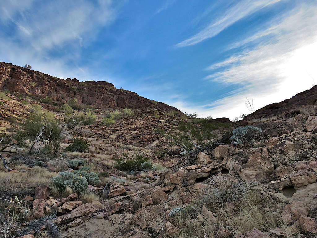
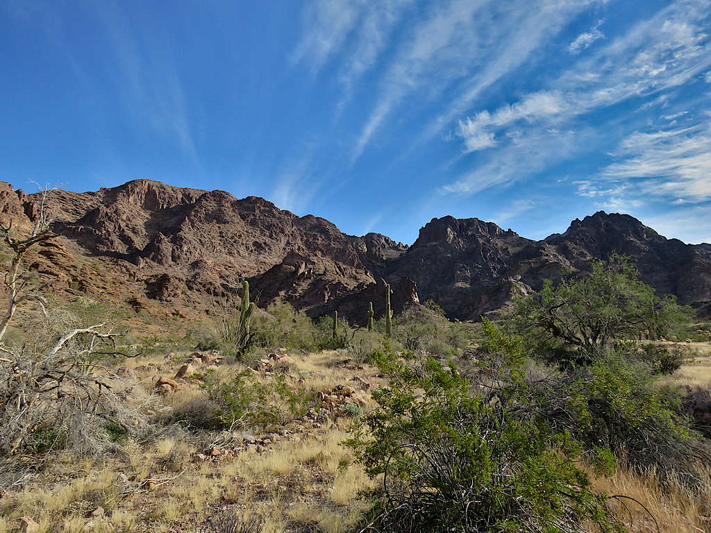
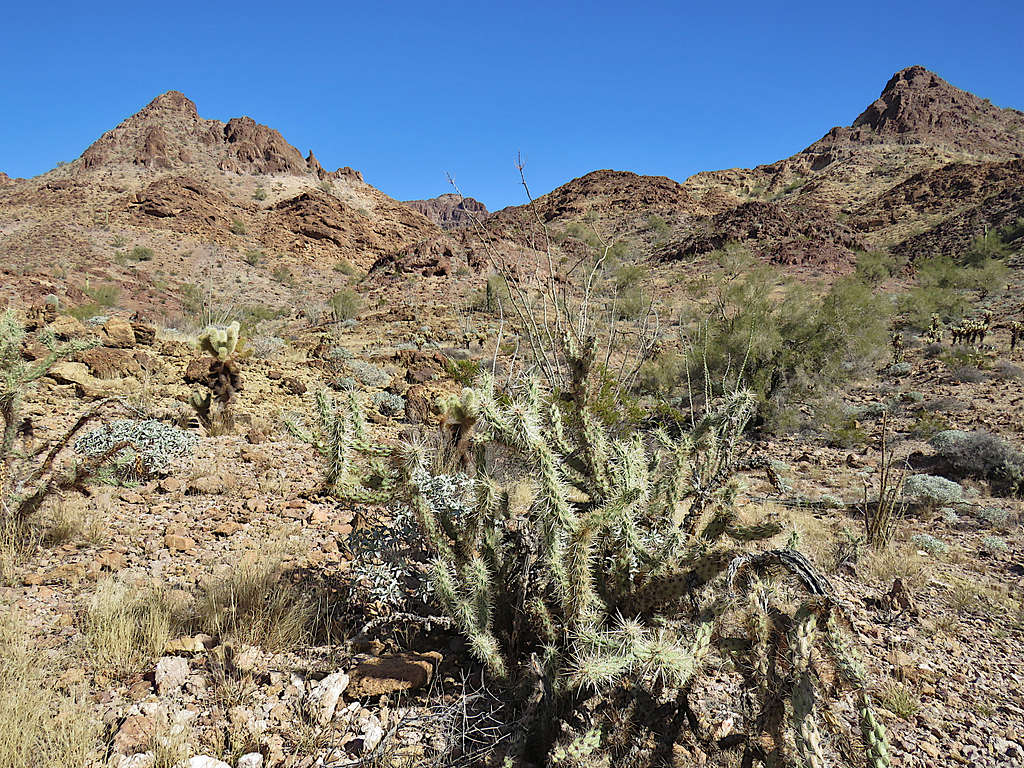
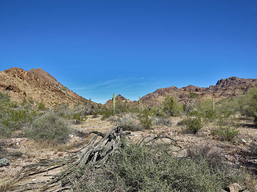
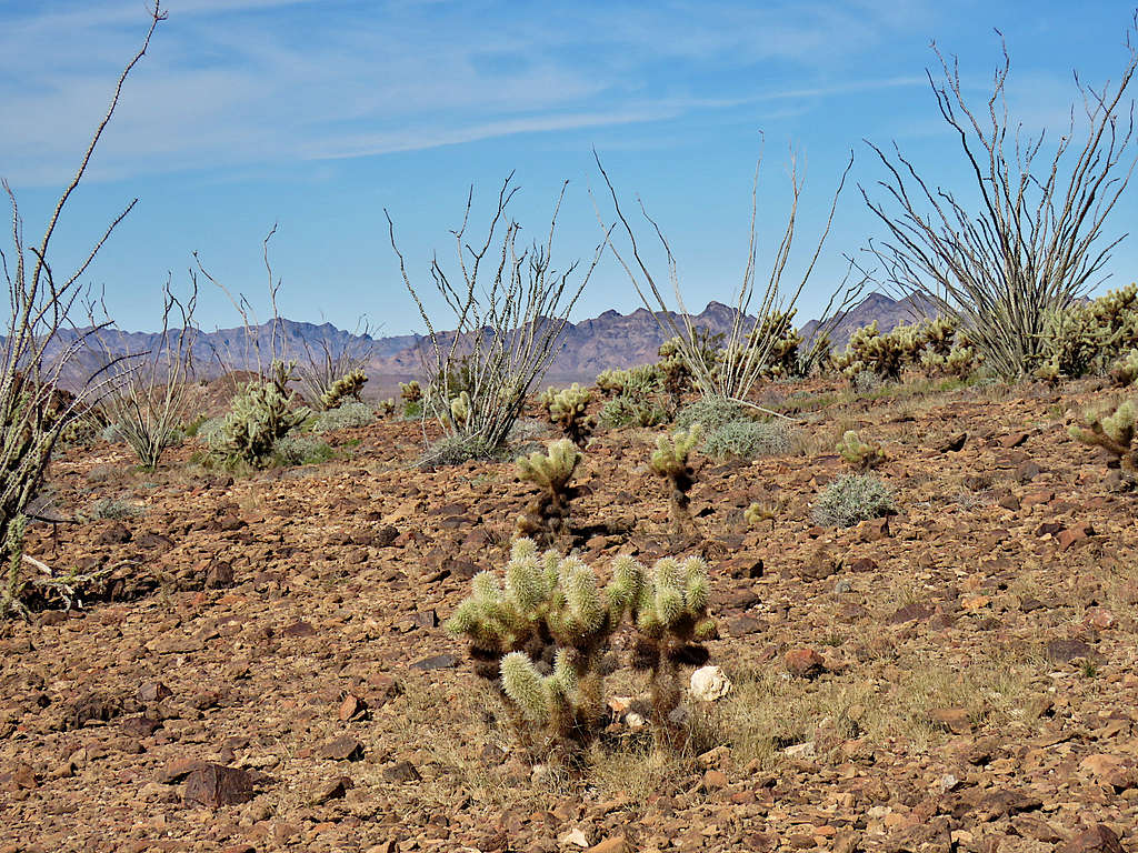
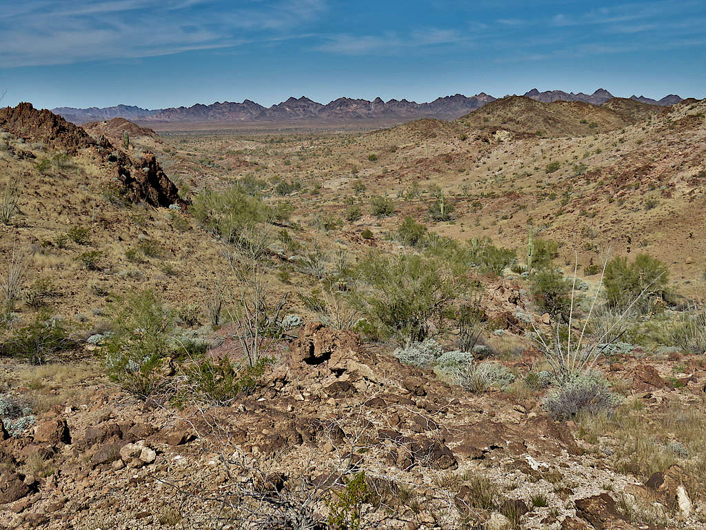
Followed a maze of drainages generally south.
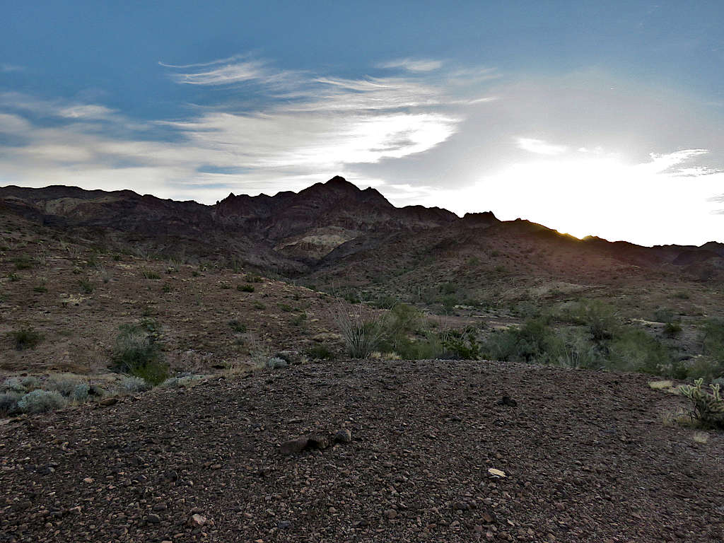
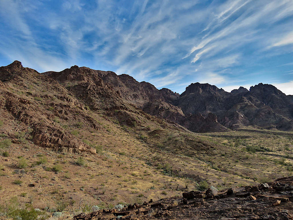
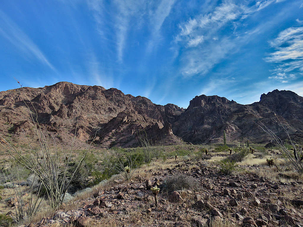
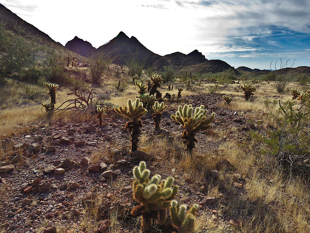
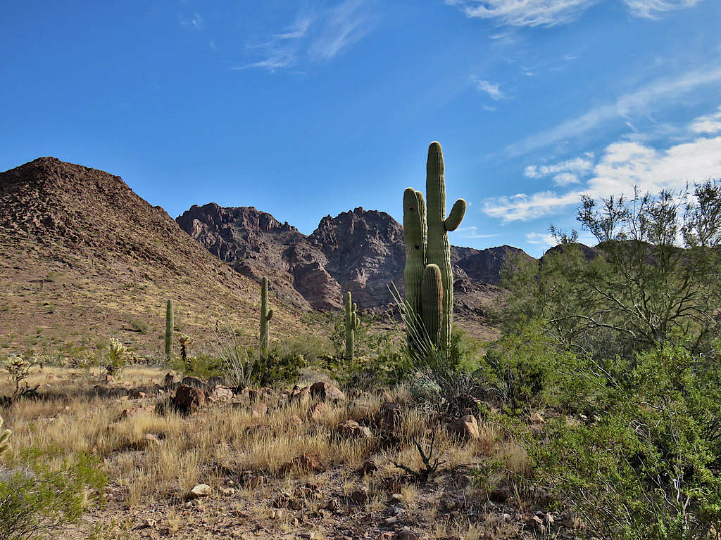
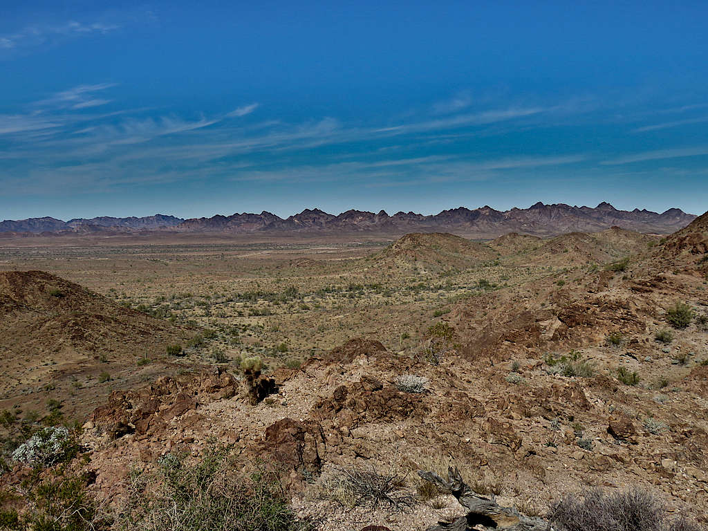
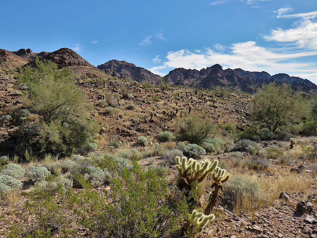
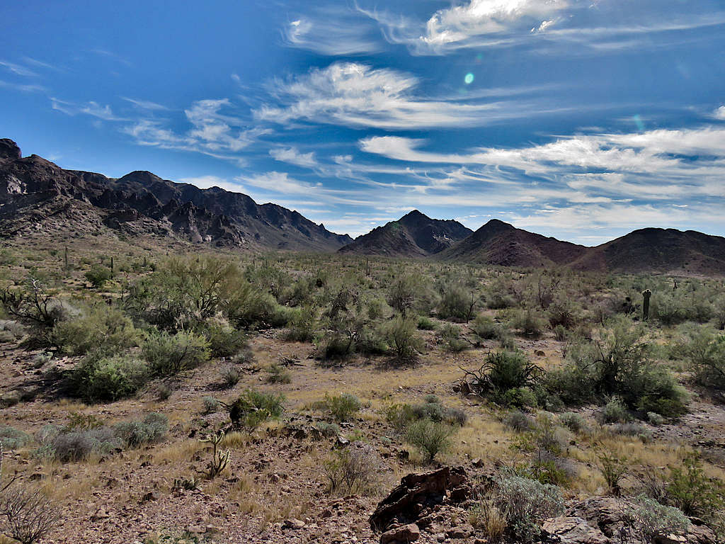
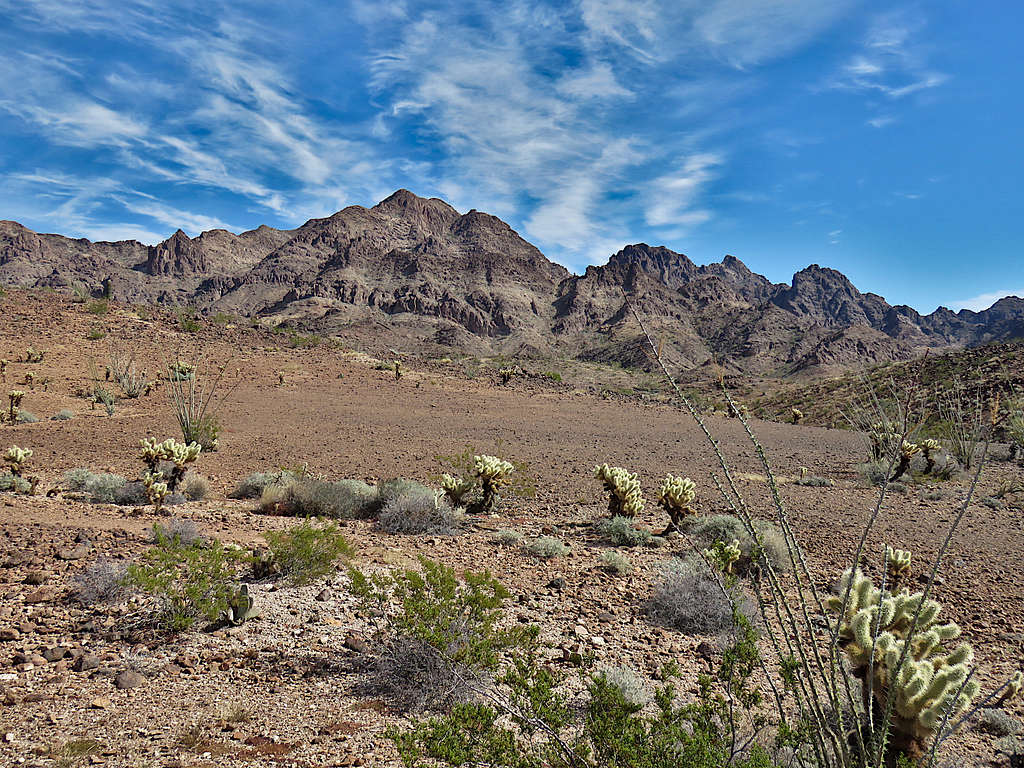
At the junction of a large valley, I turned east following it uphill. Black Tank Benchmark, or perhaps Point 3052 ft in front of it, was visible.
Continuing up the valley.
Farther up.
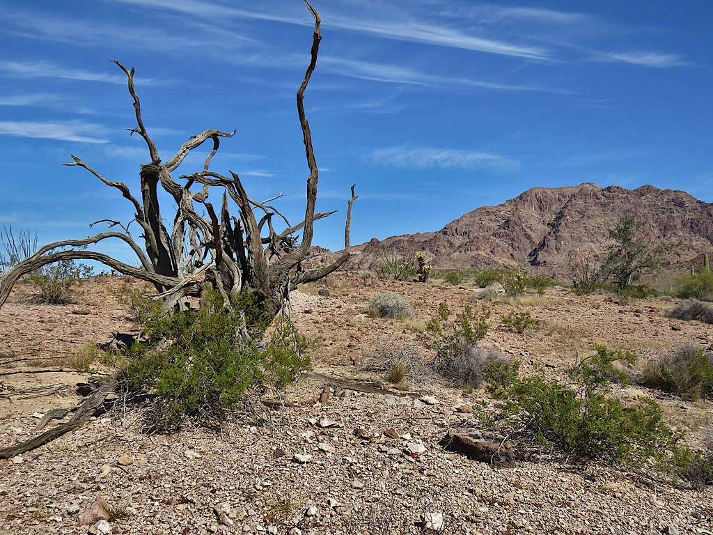
Unnamed arch.
Up toward a saddle.
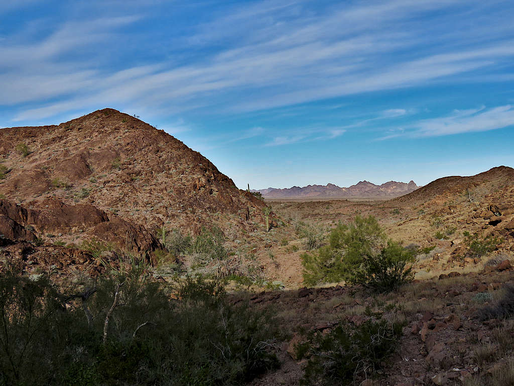
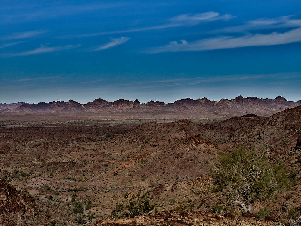
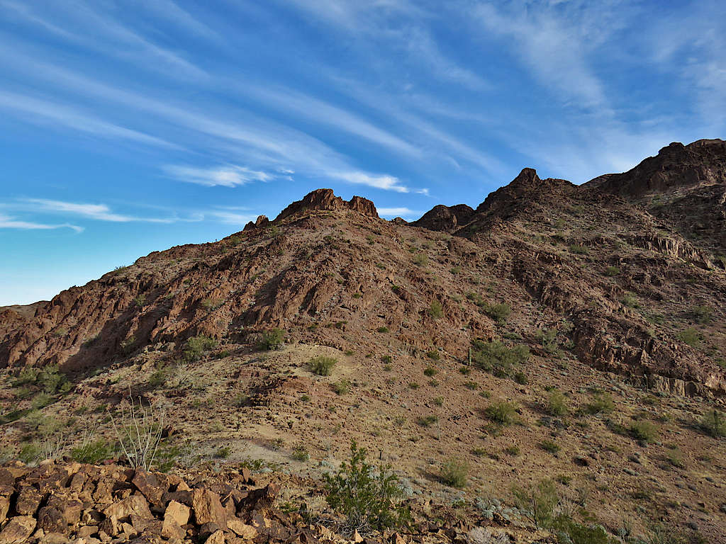
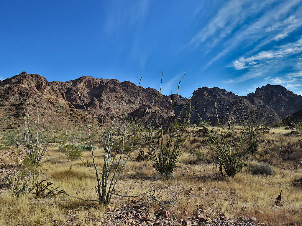
At the saddle, went to the top of a high point with great views. It was 9:25 AM and I had hiked 2.59 miles. Sat there a few minutes to enjoy the views. Distant mountains to the west.
View southwest.
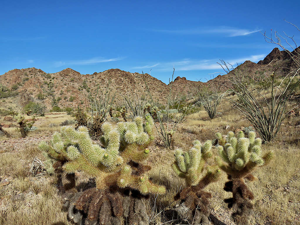
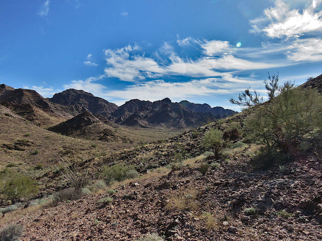
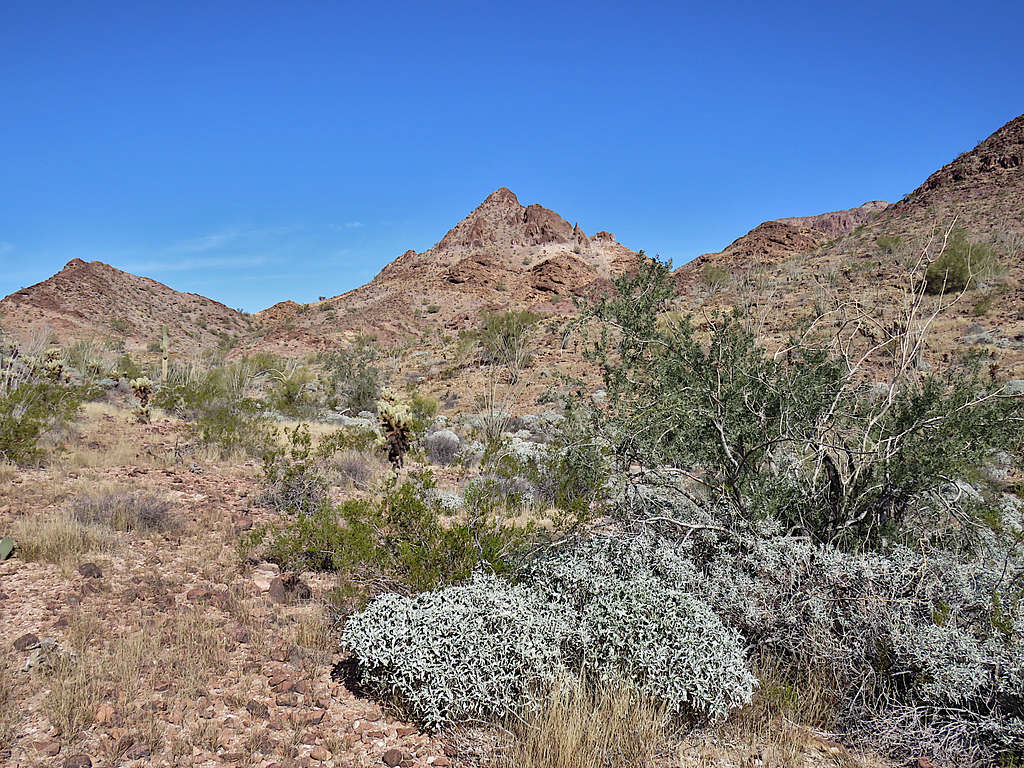
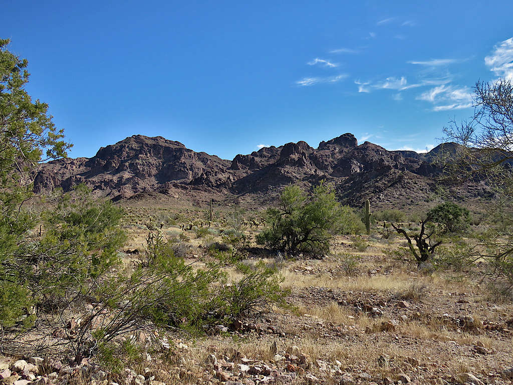
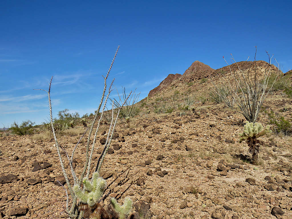
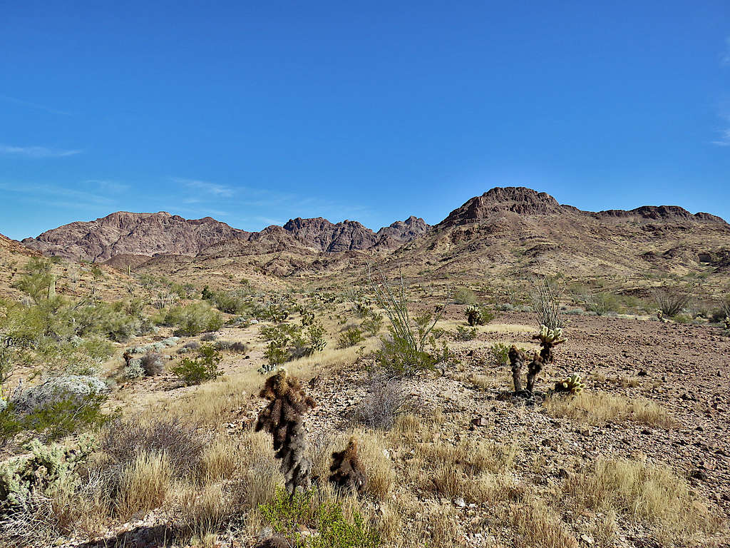
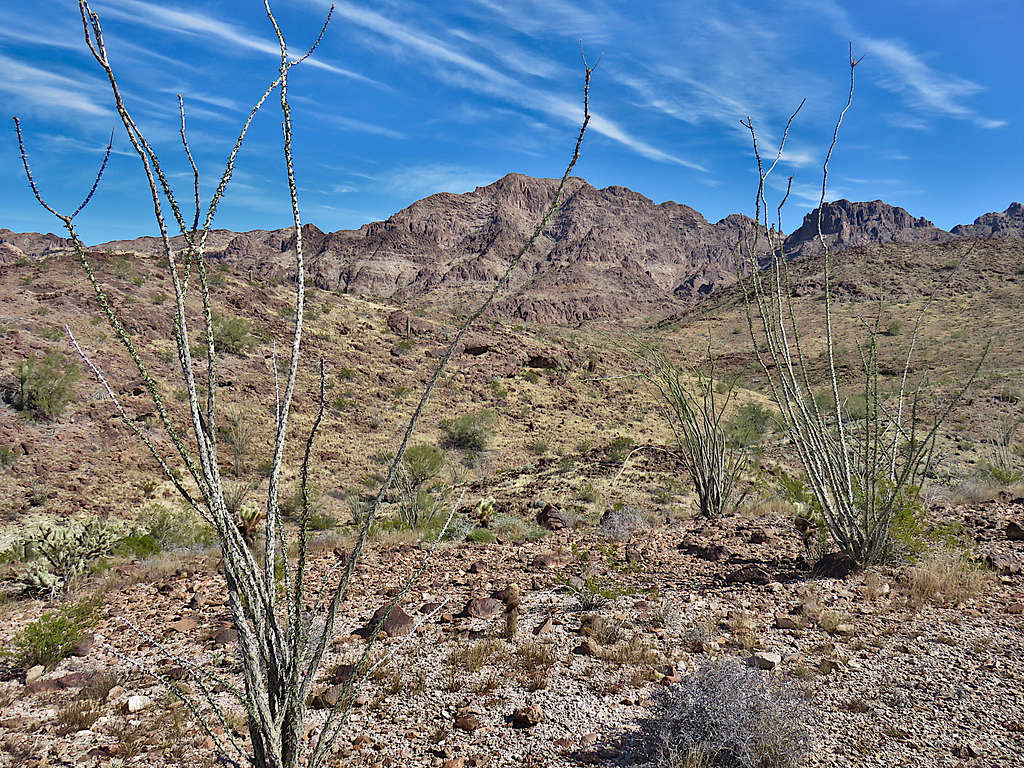
Broad valley to the southeast and slopes of Black Tank Benchmark.
Looking north.
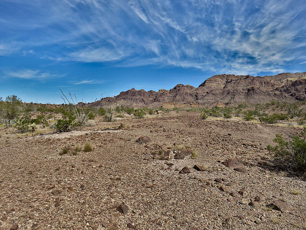
Continued east going down a little to reach the bottom of the broad valley.
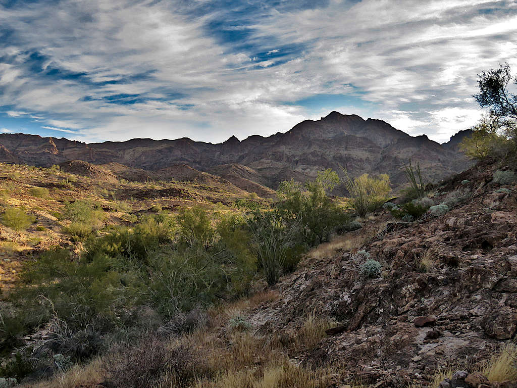
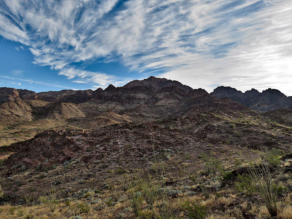
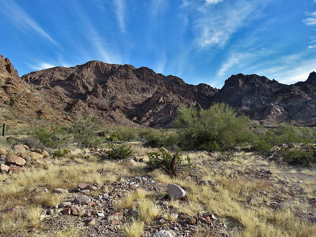
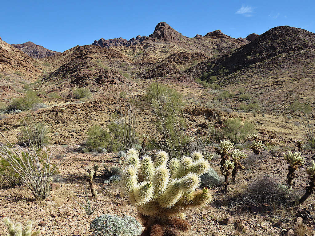
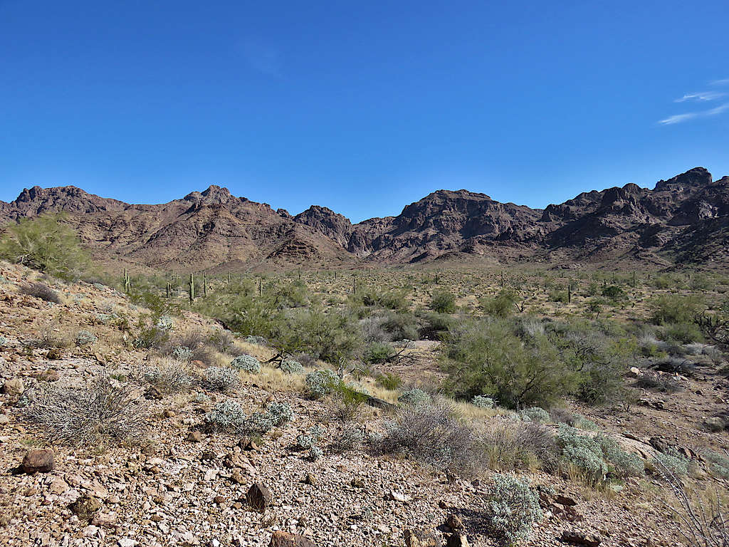
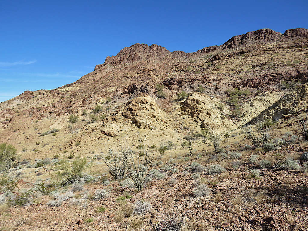
To climb Black Tank Benchmark, I would have needed to go up the broad valley where it turned into a canyon surrounded by nasty slopes. I was happy that I did not need to go into that claustrophobic and potentially dangerous environment.
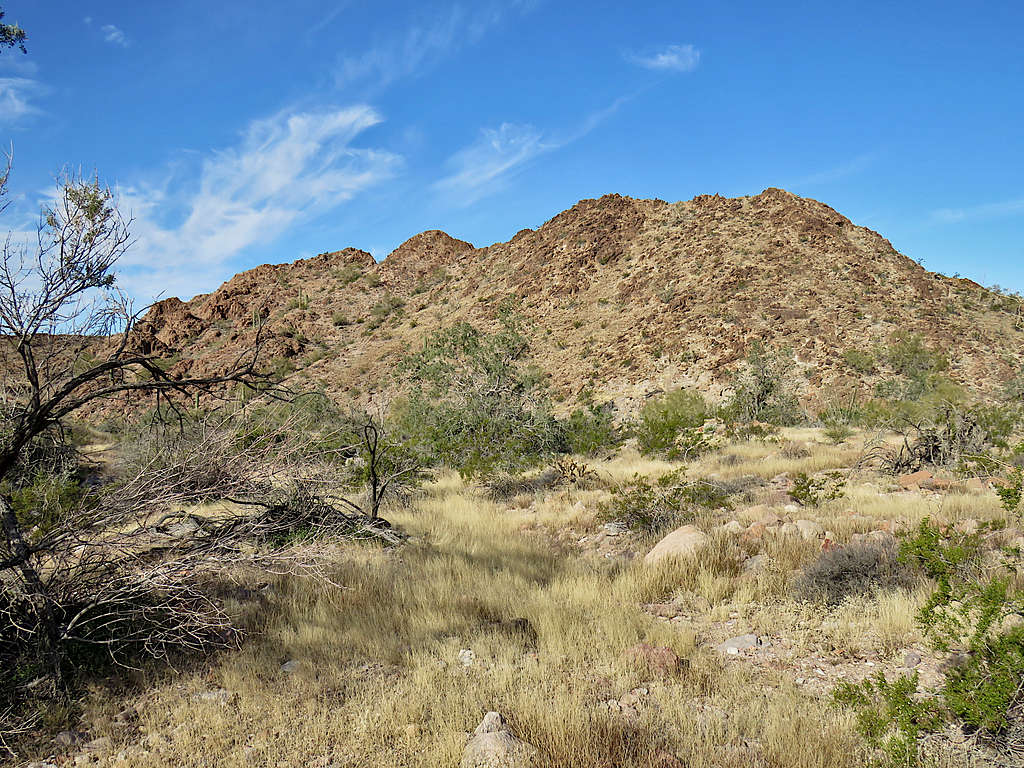
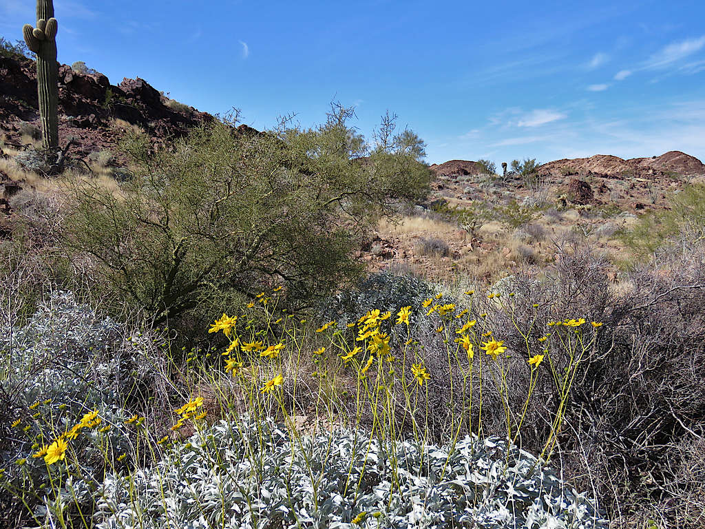
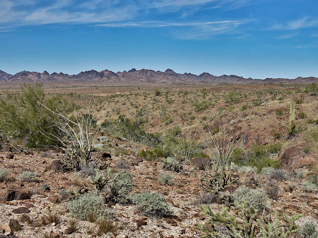
I turned south and began to hike down the beautiful, lush valley which was covered by yellow grass.
Further down.
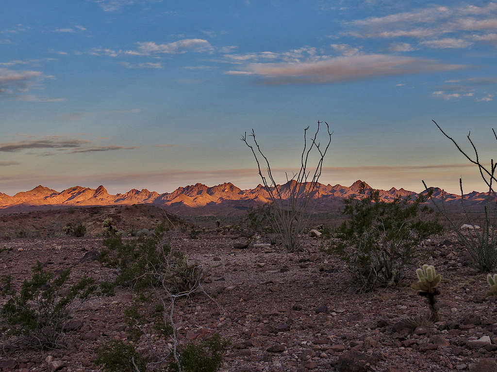
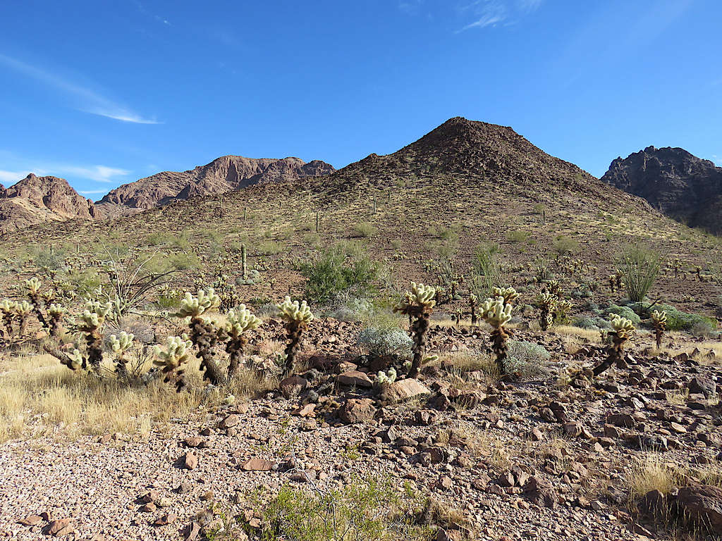
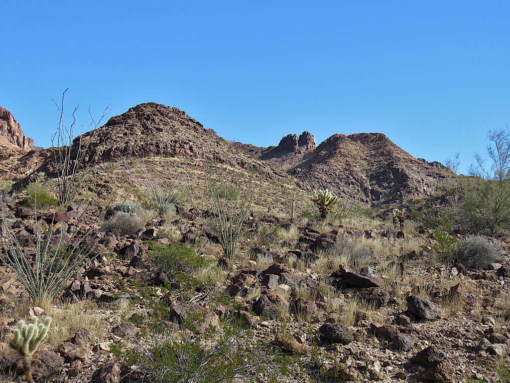
Looking back at Black Tank Benchmark on the right.
Veered southeast entering another drainage and going up toward another saddle.
At 10:30 AM and 4.12 miles of hiking, I reached a 1615 ft saddle to the north of Point 1888 ft. Sat there to have lunch. View southeast into the drainage on the other side of the saddle.
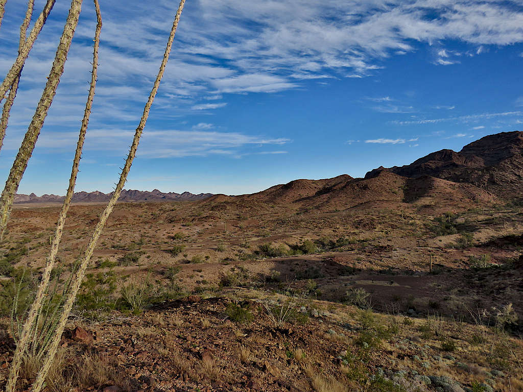
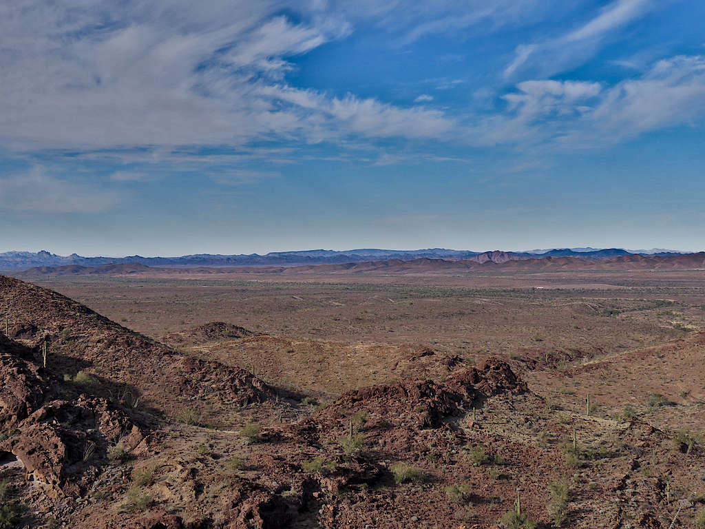
Mountains to the far west.
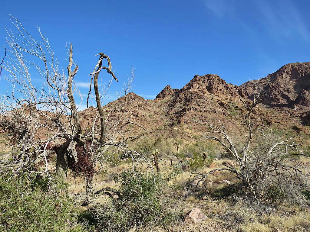
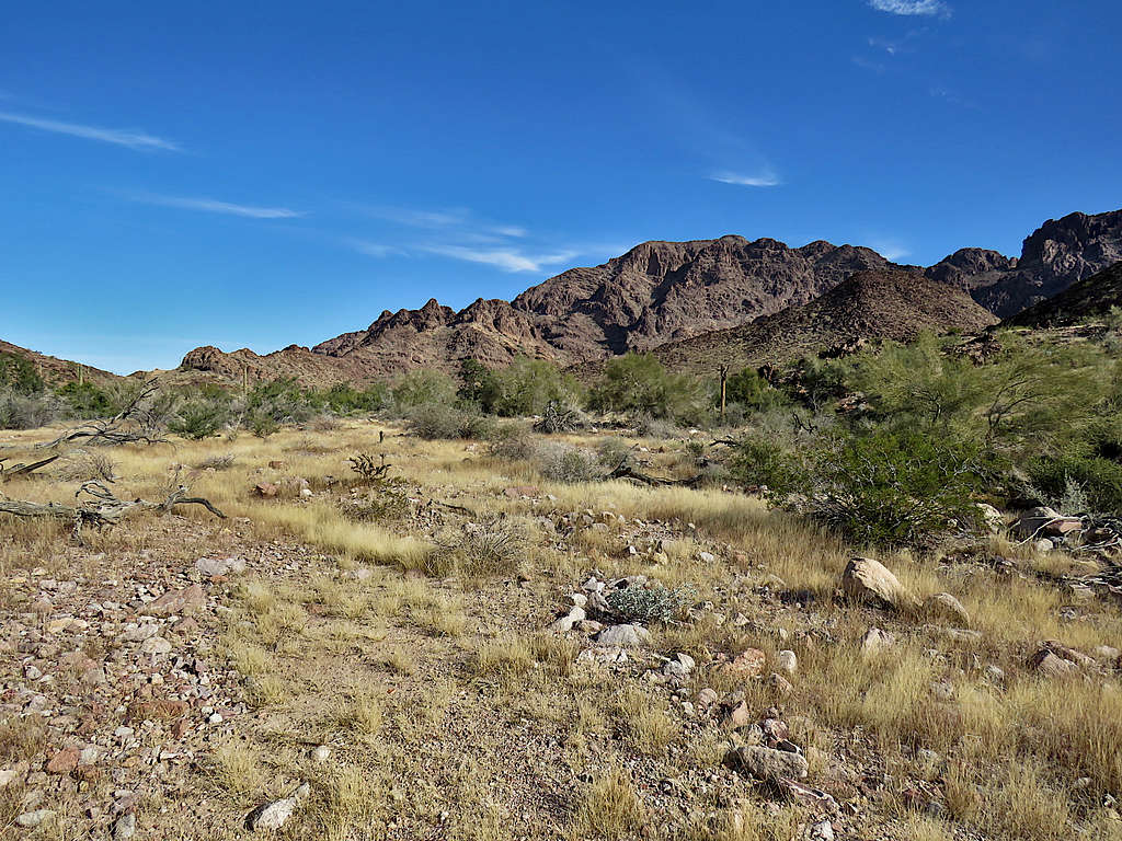
Left at 10:50 AM going down into the drainage on the other side to the southeast.
In the drainage.
Lower in the drainage.
The path that I had put in my GPS required me to go up another drainage over another saddle and then down again before returning, creating a 14-mile hike. I was getting the urge to go back. I still had a one-hour drive back to Yuma and then as usual needed to spend an hour writing my diary and more than an hour on the computer doing office work. Wanted to enjoy the hot tub in the backyard of the vacation rental house too before going to bed to get up early the next morning to do another hike. Sounds more like doing chores but such are my vacations.
Despite the beautiful environment and pleasant weather, once I was on the south side of Point 1888 ft, I decided to get out of the mountains, get on the plain and aim for where I had parked as shown on my GPS. Did not expect to come across any obstacles. Veering west to exit the drainage on the south side of Point 1888 ft.
Up a slope on the south side of Point 1888 ft.
Down the other side.
Point 1888 ft.
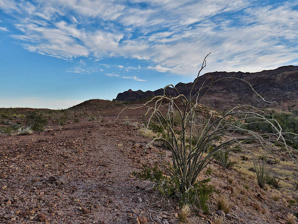
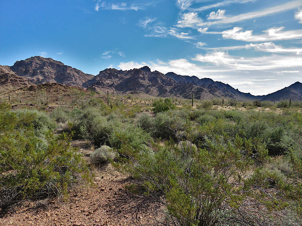
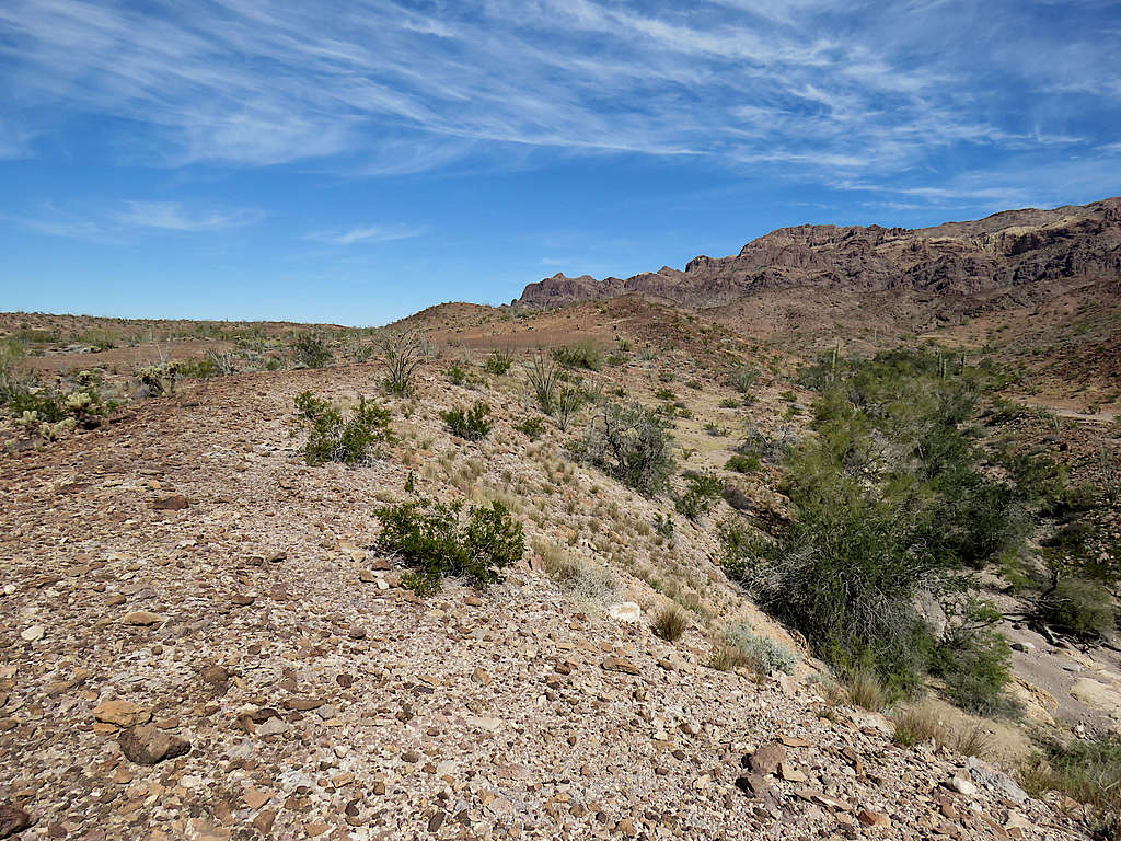
I was finally out of the mountains and began to hike the plain northwest toward where I had parked. Looking back at the slopes of Black Tank Benchmark.
Distant mountains to the west.
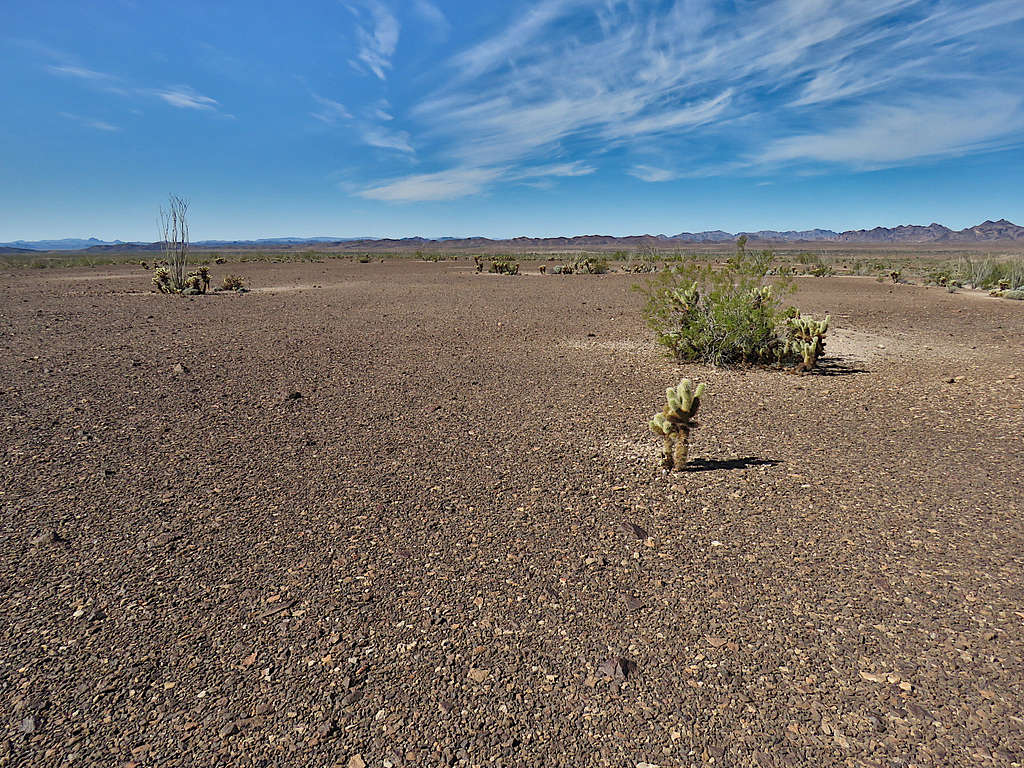
There were spots on the desert floor where nothing grew. It looked like the area had been paved flat. What caused that?
Hiking the desert floor, three times I reached “mini canyons” two to three stories deep. Had to go down and then back up the other side. The fourth canyon was a little more rugged but still nothing too bad.
Closer to my parking spot.
Reached my truck at 12:52 PM. It was 68 degrees F and felt so pleasant. I really enjoyed my solitude in that wonderful place.