Toggle navigation
Mountains
Routes
Images
Trip Reports
Forum
What's New
People
Areas & Ranges
Articles
Trailheads
Canyons
Huts & Campgrounds
Albums
Logistical Centers
Fact Sheets
Lists
Custom Objects
Gear
Plans & Partners
WELCOME TO SUMMITPOST
SIGN IN
REGISTER
Tenmile Range
Additional Parents
Pacific Peak
Northeast Slopes via Spruce Creek
Image
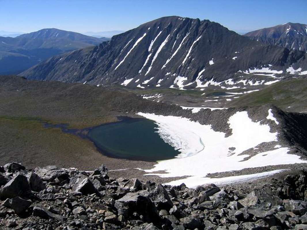
Pacific Tarn is the highest...
View High-Resolution Image
Pacific Tarn is the highest...
Pacific Tarn is the highest lake in the United States at 13,420 feet. Quandary Peak is also in this photo. 7-19-05.
« PREV
NEXT »
Ed F
on
Jul 19, 2005 5:35 pm
Comments & voting
Other parents
Lat/Lon:
39.42310°N / 106.1228°W
Image ID:
115583
6117 Hits
72.47
% Score
5
Votes
Log in to vote
Comments
No comments posted yet.
to post!
Don't have an account?
Tenmile Range
(Area/Range)
« PREV
Viewing
#115 of 169
GALLERY
NEXT »
Ed F's Image Gallery
« PREV
Viewing
#630 of 962
GALLERY
NEXT »
Pacific Peak
(Mountain/Rock)
Loading....
Northeast Slopes via Spruce Creek
(Route)
Loading....
×
You need to login in order to vote!
User Name
Password
Remember me
Forgot your password?
Log me out when I close my browser.
Keep me logged in all the time.
sign in as a user
Don't have an account?
Register now for FREE
Rating available
Suggested routes for you
People who climb the same things as you
Comments Available
Create Albums
Register Here


