
|
|
Route |
|---|---|
|
|
39.05860°N / 105.2228°W |
|
|
Rock scramble or climb |
|
|
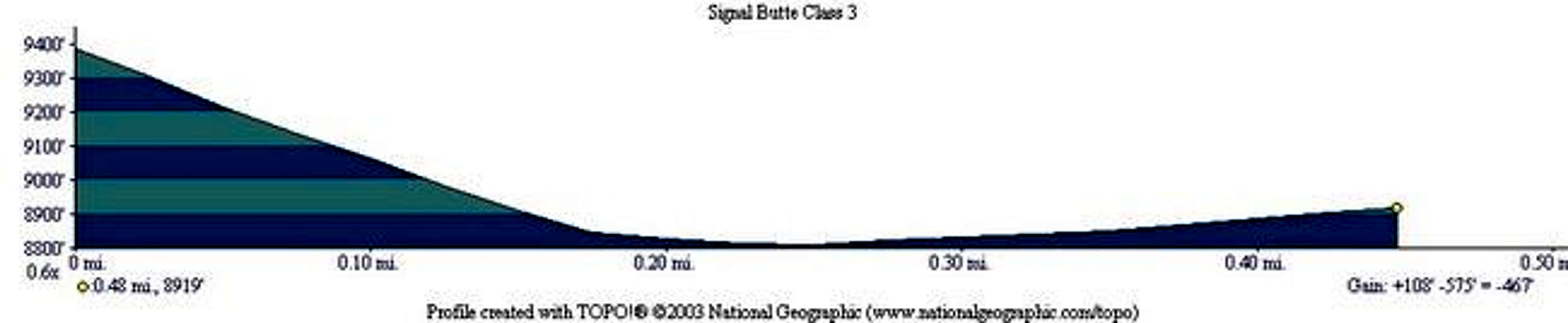
Less than two hours |
|
|
Class 3-5 |
|
|
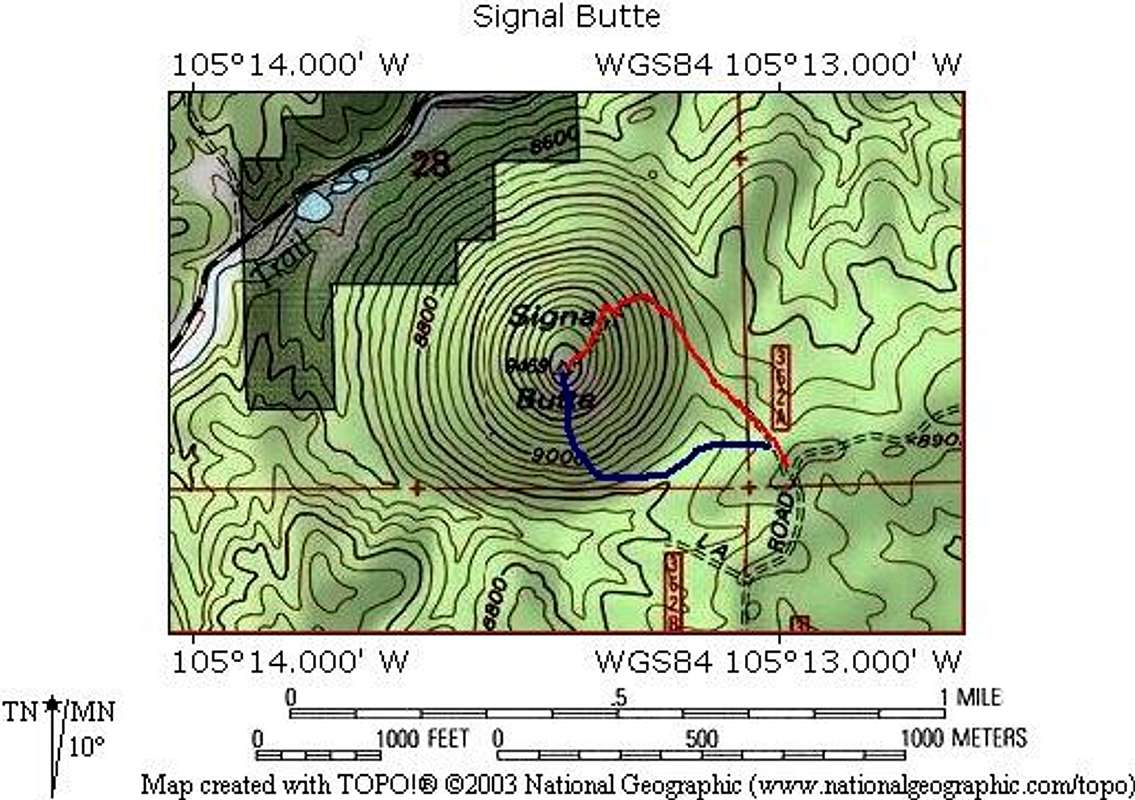
Approach
See the Getting There section of the main page. This route begins from the trailhead parking area.
Route Description
From the trailhead parking, bushwhack through burned forest to the base of the south side of Signal Butte.
From here, you can pick your own route, and go anywhere from Class 3 scrambling to Class 5 rock. The route finding is easy, and there are numerous places to back off if you feel you are over your head.
I spent an afternoon here last fall and picked out dozens of routes to play on.
If you want to tackle the toughest way to the top, then a standard rock rack will come in handy. Protection opportunties abound in cracks for active and passive pro and outcroppings and horns for slings.
This fun route can be done without any rock gear if you are good at routefinding and pick the easiest terrain. Check out the attached photos for examples of the rock you'll encounter.
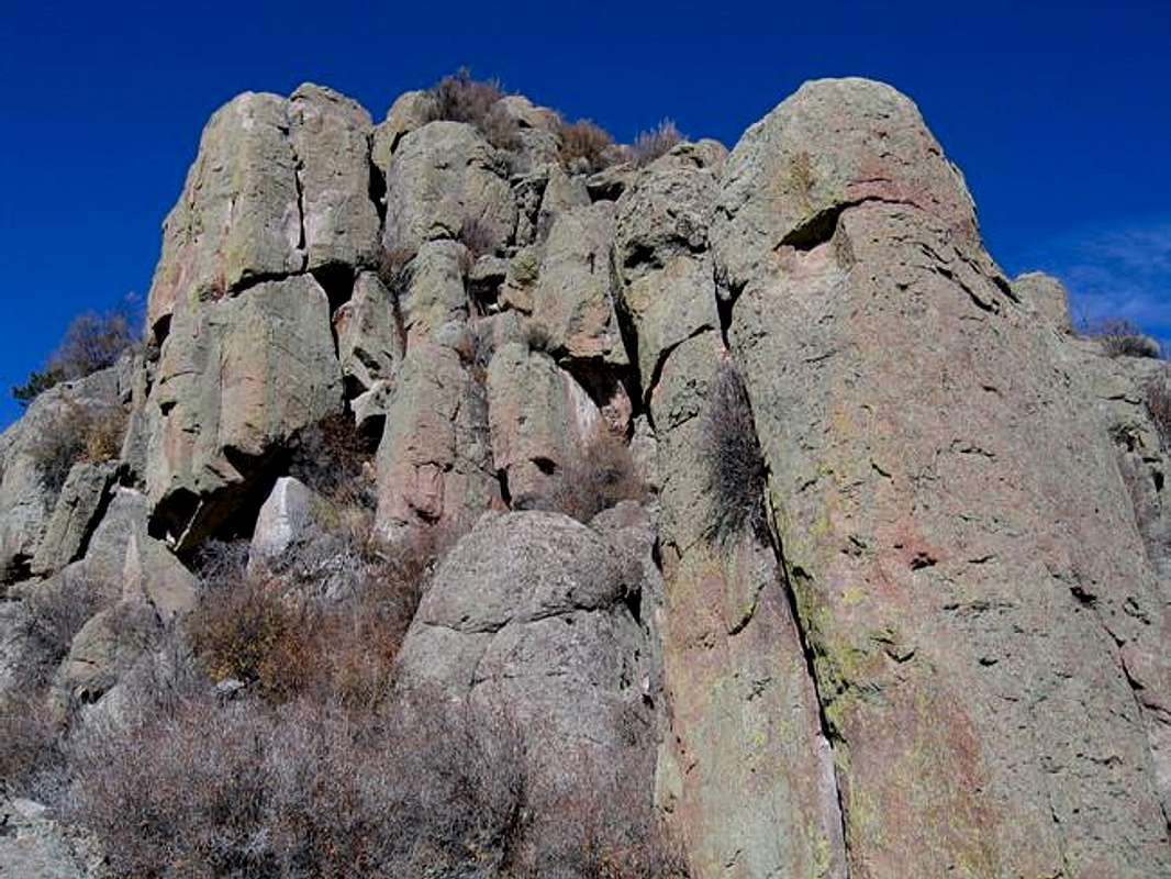
Some of the fun terrain on this route
 |  |  |
Essential Gear
Standard trad rock rack if you intend to do the toughest route up.
Standard hiking gear for the scramble routes.
Miscellaneous Info
If you have information about this route that doesn't pertain to any of the other sections, please add it here.