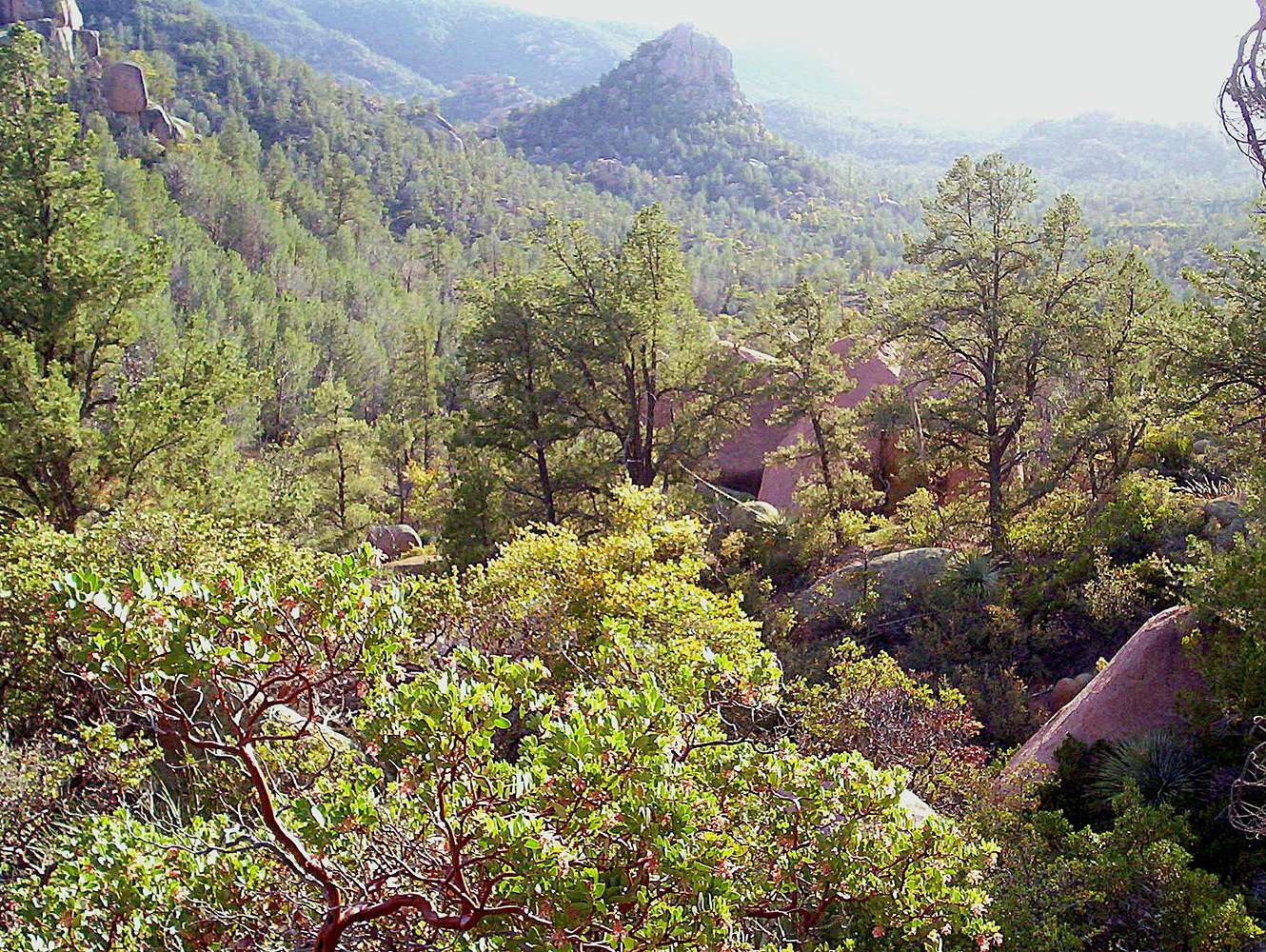
The topo officially calls this area Stewarts Pocket.
It is a miniture basin outside of Payson, Arizona.
Stewart Creek runs to the north, but only in times
of heavy precipitation. This is a "granitic intrusion"
that has been exposed to the elements. In a mountain-building episode that produced the Rocky
Mountains of Colorado, tectonic forces twisted and
bent these granite landforms to the southwest.
The vegatation is typical of the transition zone between desert scrub and Mogollon highlands. In this
picture, we see the sun-loving species of oak,
manzanita, and pine. There was a dust storm to the
south, which was bringing dust into the area.
Additionally, there are several "tectonic caves" in this area. They were formed through tectonic forces,
when the land rose and caused large boulders to
tumble from the granitic ridgetops above. These
"house-sized" boulders landed on top of one another,
creating pockets of space beneath the boulders.
You can see the entrance to one of the "caves" in the
foreground. This is a prime bouldering area! A certain
amount of bush-wacking and Class 2 scrambling must be
done, due to the fact there are few trails in this area. Please bring plenty of drinking water, as this is an arid landscape; even though it's still
tree-covered and very brushy. (May 5, 2008)
Geez, I hope I explained it clearly. My objective is
not to confuse people. My biggest objective is not
to confuse MYSELF!


