
-
 2838 Hits
-
 76.66% Score
-
 7 Votes
|
|
Route |
|---|---|
|
|
43.96190°N / 103.3982°W |
|
|
Download GPX » View Route on Map |
|
|
Hiking, Scrambling |
|
|
Spring, Summer, Fall |
|
|
Less than two hours |
|
|
Overview
 On the descent
There are shorter, more direct ways to reach the summit of Boulder Hill, such as just parking off the Forest Road (FS 358 | Boulder Hill Road) to the west and traveling due-east to the summit up an old (decommissioned) dirt road. But why rush a good thing? This route runs nearly a full circle around this rugged little peak and provides a bit more of a leg stretch than the “park on the shoulder of the road and chug up to the summit” options from the west.
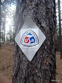
The route described here combines a mix of official trails, footpaths, decommissioned roads and Forest Service roads, but you could always back-track on trails to avoid the boring walk back to the truck along the Forest Service road. Note that, despite the Trails Illustrated map indicating a smooth little trail directly and without any confusion heading directly to the summit of Boulder Hill from the Boulder Hill Trailhead, the reality is slightly more convoluted.
Roundtrip Distance: 3.2 miles
NET Elevation Gain: 600 feet
YDS Class: 2+
Planning Map: Trails Illustarted # 751 | Black Hills North
Getting There
 Trailhead sign
 Trailhead parking
From the tourist town of Hill City…
Travel 14 miles east on US 16 to Silver Mountain Road. Move into the left-lane to prepare for your turn.
Turn left onto FS 358.
Immediately at the next fork stay left to remain on FS 358.
Travel approximately 2 miles to the junction with FS 1D.
Park in the Boulder Hill Trailhead parking lot.
Route Description
 |  |  |

Leave the trailhead and head across the road to the trail.
Travel roughly ½ mile up and over the saddle with Storm Hill and down to a trail junction.
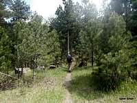
Head roughly southwest along the southern flank of Boulder Hill.
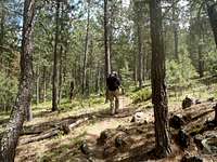
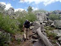
Gain a foot path / old road that heads mostly north toward Boulder Hill. This will eventually cross and old decommissioned road.
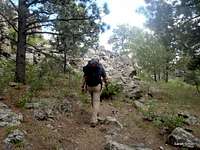
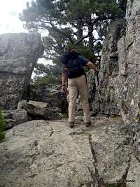
Top out on the road and continue to your right then switching back to begin the easy, rocky scramble.
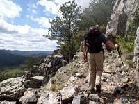
From this point, follow signs of a use path through the rocks, slabs and boulders to the summit of Boulder Hill.
The true summit is the point to the north of the old lookout ruins and includes a USGS summit marker.
From here, you can backtrack down the footpath to the trail back to your vehicle, or hit the FS 358 for a smooth (if boring) stroll back to the truck.
 |  |  |
Essential Gear
 |  |  |

Outerwear appropriate to the season and plenty of water, along with a map (and compass or GPS, as always) should be sufficient!