Bieszczady National Park - Poland
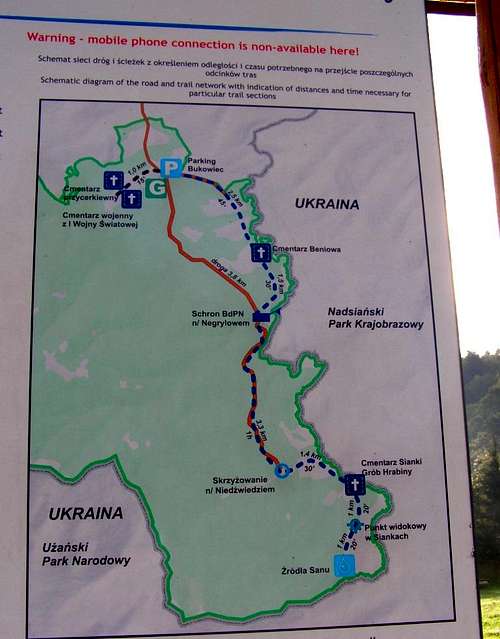
![Map of trails in the Upper San River Valley]() Map of trails in the Upper San River Valley
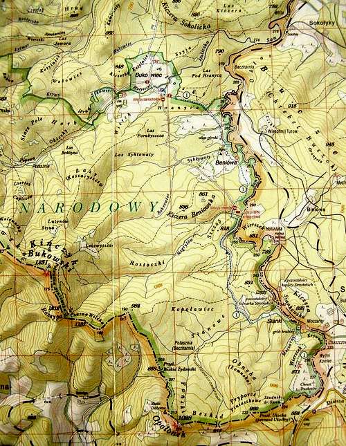
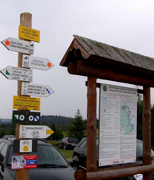
Map of trails in the Upper San River Valley![Car parking in Bukowiec]() Car parking in Bukowiec
Car parking in Bukowiec
Indication of distances and necessary time (one way): blue trail marks:
-Car parking in Bukowiec – Cemetery in Beniowa : 2,5 km (45 minutes);
-Cemetery in Beniowa – shelter on the bank of Negrylow Stream : 1,5 km (30 minutes);
-Shelter on the bank of Negrylow Stream – crossing over Bear Stream : 3,3 km (60 minutes);
-Crossing over Bear Stream – the Tomb of the Countess: 1,4 km ( 30 minutes);
-The Tomb of the Countess – scenic viewpoit in Sianki : 1 km (15 minutes);
-Scenic viewpoit in Sianki – sources of the San River : 0, 9 km (15 minutes).
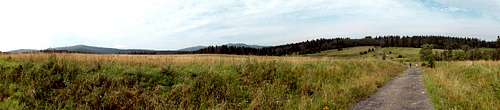
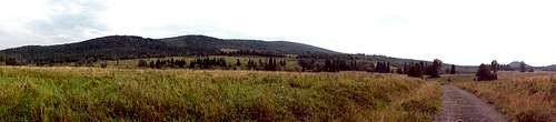
![View from trail in the Upper San River Valley.]() View from trail in the Upper San River Valley
View from trail in the Upper San River Valley![View from trail in the Upper San River Valley]() View from trail in the Upper San River Valley
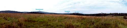
View from trail in the Upper San River Valley![View from trail in the Upper San River Valley]() View from trail in the Upper San River Valley
View from trail in the Upper San River Valley![View from trail in the Upper San River Valley]() View from trail in the Upper San River Valley
View from trail in the Upper San River Valley
Comments
No comments posted yet.