Add Heading Here
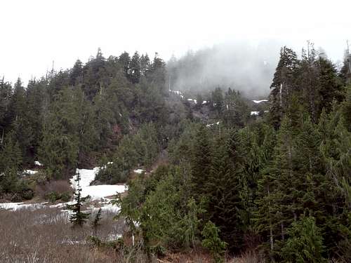
Include text here. We decided to tackle the Big Bear from the east side since FS rd 41 has been closed for awhile. From Darrington we went south on the Mt Loop Hwy for a couple of miles and turned right on Clear Creek rd. The road is in decent shape but we had to bail out early because of some recent windfall. For the next couple of miles we walked the old road which eventually peters out and turns into a foot path. From here the path takes you westward to cross Copper creek and begin ascending the brush and Devil's Club toward a basin below Windy Pass.
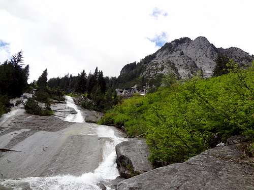
![Copper creek]() heading up Copper creek towards Windy Pass
heading up Copper creek towards Windy Pass This route would probably be better earlier in the season when all of the Vine Maple saplings and other shrubs are covered in snow.
Once in the basin below Big Bear the south ridge presents itself and is a welcome change from the brush bash leading up to it.
The ridge is now followed up the snowfields below the south summit.
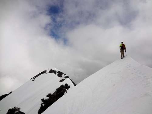
The north summit is the true summit. We stood on top of the south summit to have a look but didnt see a good way to get across. We ended up dropping down off the top ridge to the west side and traversing across to the N summit.
![Big Bear]() North and South summits of Big Bear
North and South summits of Big Bear
This trip was 8-9 miles round trip and with the elevation lost and gained around 4500 total.
Some cool scenery along the way with plenty of waterfalls, some ancient mining leftovers and views of some nearby rock climbing routes.
Comments
No comments posted yet.