Toggle navigation
Mountains
Routes
Images
Trip Reports
Forum
What's New
People
Areas & Ranges
Articles
Trailheads
Canyons
Huts & Campgrounds
Albums
Logistical Centers
Fact Sheets
Lists
Custom Objects
Gear
Plans & Partners
WELCOME TO SUMMITPOST
SIGN IN
REGISTER
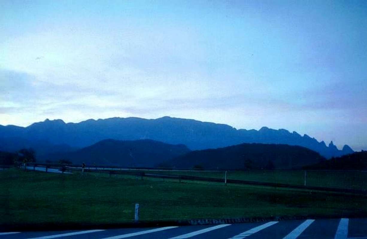
The road to Teresopolis. The...
The road to Teresopolis. The...
View High-Resolution Image
The road to Teresopolis. The...
The road to Teresopolis. The other side of the Serra dos Orgaos National Park. Look Açu the highest , Bell's Rock at middle right and God's Finger at right.
« PREV
NEXT »
Comments & voting
Other parents
Lat/Lon:
22.4831°S / 43.0626°W
Image ID:
85594
825 Hits
0
% Score
0
Votes
Log in to vote
No comments posted yet.
to post!
Don't have an account?
Kellfe's Image Gallery
« PREV
Viewing
#637 of 1888
GALLERY
NEXT »
×
You need to login in order to vote!
User Name
Password
Remember me
Forgot your password?
Log me out when I close my browser.
Keep me logged in all the time.
sign in as a user
Don't have an account?
Register now for FREE
Rating available
Suggested routes for you
People who climb the same things as you
Comments Available
Create Albums
Register Here

