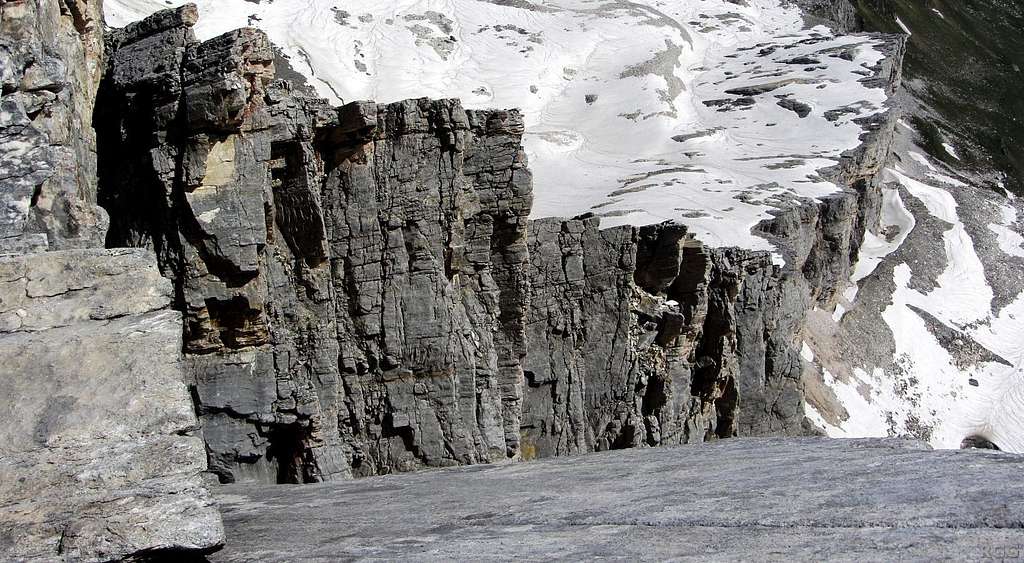
Looking down along the sheer cliffs ENE of the Lodner
After you've had a first look, take a second, closer one. See that smooth grey rock at the bottom of the photo? You're looking down along a slab that's already at an angle of 40° or so. It doesn't have much to hold onto either. One false move, and you're gone!
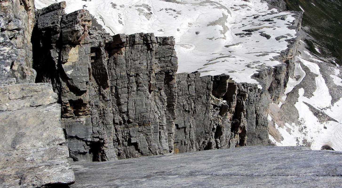
The much lower area to the right, with the partly snow covered scree slopes, marks the western boundary of the Andelsboden valley. That's hiking territory. A little further to the right, albeit outside this photo, lies the hiking trail up to the north side of the Halsljoch saddle. That's familiar territory, I've hiked there before a couple of times. From the saddle, it's about an hour down the other side to get to the Lodner Hütte, which is where I started this morning.
So far I have climbed the Lodner by the normal route. At the outset, my plan had been simply to take the easiest way up and down, and I had told the hut warden, so he could count on me for dinner. But the ascent proved to be easier than anticipated, the weather was fantastic and I still felt great. With all that, I couldn't simply return the same way, now could I? That would be too easy. No, I'm looking for an alternative. And if I can somehow get down to the Andelsboden, I can follow the trail over the Halsljoch saddle, for I know that it will take me just over an hour or so to get to the Lodner Hütte from there. And if I still feel up to it, I might even bag the Lazinser Rötelspitze in the process, since it's right next to the saddle.
But right now I'm up here, not down there. And "Up here" is at the edge of the big summit plateau, just north of the summit. I'm alone, and these cliffs look much to hard for me. And I'm not even there yet. According to my map, the flat, snowy area at the top of the cliffs is the Andelsferner (ferner = glacier). From what I could see on the map, and by looking at the terrain, I would first have to find a way down to the Andelsferner, then make a large detour around the cliffs.
I'm not stupid enough to try going down the direct way. If I had, I would have whizzed past the cliffs in seconds and missed the plateau altogether. Then again, if I were that stupid, I would have won the Darwin award long ago already.
Sure, I wanted to find a way down there, but a much easier and safer one, or I would simply go back by the normal route after all. I didn't bring my guidebook and didn't know if there even was a route I could climb down, but I thought there might be one.
And, sure enough, after first descending a bit along the normal route, I found a beautiful snow packed couloir. It was pretty steep at the top, and looked scary, but I feel quite comfortable on steep snow and saw that it would quickly get easier.
When I later checked my guidebook, it mentioned no less than 6 routes for the Lodner. Strangely enough, the couloir that I descended wasn't one of them, even though it looked pretty obvious. And when I talked to the hut warden later that evening, he knew about it too, and said he had actually skied down there. I cetrainly don't want to try that myself, it was much too steep for me. But if you're a really good skier it must be an exhilarating route.
15 July 2013.


