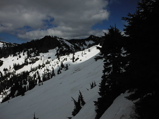
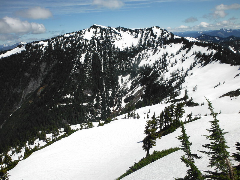
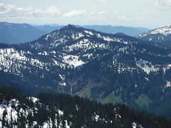
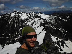
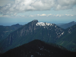
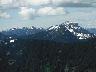
Canoe Peak, Lennox Mountain sub-peak
Two weeks ago I attempted to combine Bare mountain, Canoe peak, and Lennox Mountain into a long day hike. A blown out tire 10 miles down the North fork road cut the day short after the first summit, but a bit of route scouting confirmed that snow would continue to ease the off-trail traverse for a few more weeks.
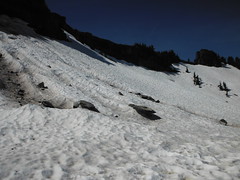
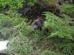
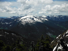
Today I got an early start on the trail with my boy Automahn. The sky was clear for most of the day, which softened the cascade concrete just enough to allow solid footing without requiring flotation devices. I considered following the old road-trail to it's end and ascending past Bear Lakes, but opted for snow travel over bushwhacking. The long traverse across the snow fields North of Bare was easier than I expected under the direct sun.
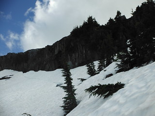

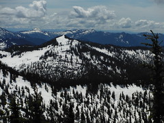
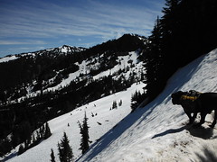
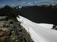
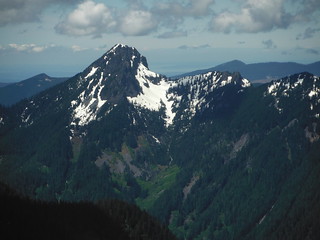
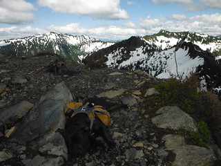
From above Bear Lakes, the ridge to Canoe Peak looked mostly forested and easy to navigate, but upon reaching the crest I encountered lightly exposed scramble occasionally interrupted by thick patches of trees that even Automahn had trouble squeezing through. A month ago the snow covered ridge would be a pleasure to navigate, but about 200' below the summit I begrudgingly dropped down to steep snow banks and spent the next hour coaxing and assisting the mutt over exposed cliffs and steep snow banks. In the end I ascended directly from the south amid the trees, abandoning the Auto 50' below the top.

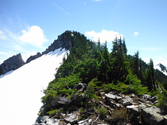
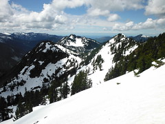
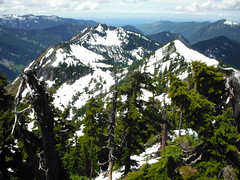
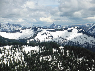
At the summit of Canoe Peak i found dry exposed rock and clear 360 degree views, but no register. The route to Lennox Mountain looked simple once past the ~10' tall bergschrund that stretched across the East-West ridge of Canoe. I had just enough time according to my decided constraints for the day, but considering the extra required route-finding for my squatty 4-legged friend was daunting, not to mention the small problem of getting over the bersgschrund. It was clear to me at this point that this trip would have been far better suited for an early spring attempt.
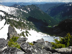

While snacking above Bear Lakes, I was debating a return to Bare Mountain summit or a descent to the south into Bear Creek Valley when I noticed two folks on their way up that very route. I packed up and hurried over, to ask how they felt about the route they chose. It turned out that the couple were looking for Lennox, so I showed them where it was hiding on the other side of Canoe Peak and described the route, and they told me of the waterfall they had to climb on their ascent. I chose to return the way I came and was followed shortly after by the pair.
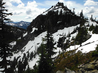
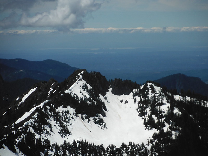
Back on Bare Mountain we encountered about a dozen hikers, most without trekking poles, ice axes or traction devices. Luckily the large steep snow field that sat below the summit 2 weeks ago was nearly gone now, and had solid steps kicked into it. The sky continued to fill with clouds as we relaxed at the top. The pants and undies from my last visit had mysteriously disappeared.


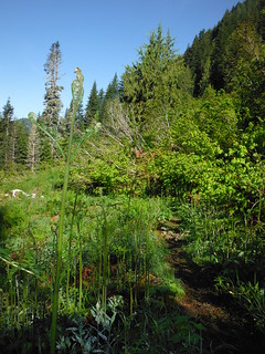
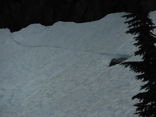
The return trip was uneventful. As I expected, Bear Creek was noticeably higher at the upper crossing. Bugs were getting pretty bad, and the trail is still very wet in places, come prepared!


~11 miles Round Trip
4400' elevation gain
3.5 hours to Canoe Peak summit, 10 hours car to car
Comments
No comments posted yet.
