Comments
No comments posted yet.

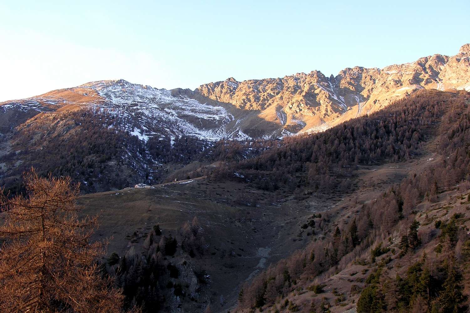
The watershed from Mont Mary (to the left or West: 2.815m) up to the Tsaat à l'Etsena Western Summit (to the right or East: 2.971m) before the Becchi di Fana (occulted more in East: 2.951m), above the Senevé, Latta (z), Les Planes (in the picture), Rapailles Alpages and the Château de Quart Canyon.
From left or West: Mont Mary, Chaudière's SW Carving, Punta di Chamerod, two small Summit of Les Preles or Preyes, Chaudière's SW Col, Tête d'Arpisson, Quota 2.888 meters, Senevé Campanile also Senevé's Bell Tower, Punta di Senevé, Quota 2.945/50 meters about and Tsaat à l'Etsena Western Summit. Senevé's Comba, December 31th,2006 photo Emilio Bertona aka emilius


