

cp0915 - Dec 14, 2004 1:40 pm - Voted 10/10
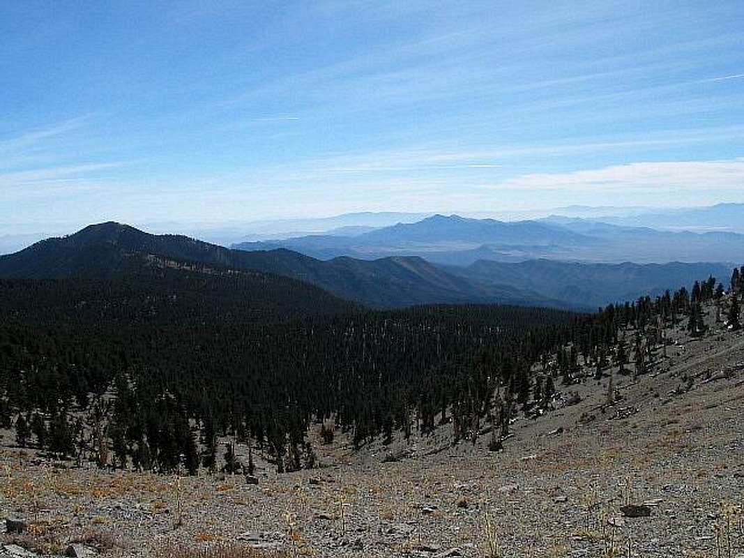
Hate to admit itbut I can't recall this particular vantage point on the South Loop Trail. I assume that it's looking ESE? Even more shameful to admit is that I can't say I can name those peaks either, even though I know (and have hiked or climbed) about all of them. I suppose the angle is throwing me off. The prominent one in the center of the photo is possibly La Madre Peak, Frenchman Mtn. could be the one on the horizon to the left. If you give me more info. on where this photo was taken from, I can probably give you more of any idea of which peaks are which.

Dean - Dec 14, 2004 2:03 pm - Hasn't voted
Re: Hate to admit itThis spot is where the trail starts up and leaves the Bristlecones about a mile from the summit of Charleston.
Pahrump would be to the right so ESE would probably be right on. Some of those may need SP pages ; )
cp0915 - Dec 14, 2004 2:35 pm - Voted 10/10
Re: Hate to admit itUnfortunately, I can't tell for sure which mountains they are. The prominent one, as I said, may be La Madre Peak, or it could even be Mt. Potosi, which is quite a bit south from Griffith. Hmmm. Anyway, I'd be happy to do SP pages on any S. NV peaks that other folks are willing to contribute photos to.

Day Hiker - Dec 18, 2004 9:16 pm - Hasn't voted
Mountain Peaks IdentifiedDean, In this picture I identified the peaks in view on your photo.
I used a program I wrote that uses USGS data to create a shaded-relief rendering of the view from the approximate location that you took the photo. Once the bitmap image is created, my program will identify points on the picture, given the bitmap X,Y pixel coordinates.
Dean - Dec 18, 2004 10:11 pm - Hasn't voted
Re: Mountain Peaks IdentifiedThat is neat, now I know which one Potosi is (one of my future Las Vegas Peak objectives). I liked your picture so much with the identifiers I just had to give it 4 stars. ; ) Thanks Day HIker.


Comments
Post a Comment