Toggle navigation
Mountains
Routes
Images
Trip Reports
Forum
What's New
People
Areas & Ranges
Articles
Trailheads
Canyons
Huts & Campgrounds
Albums
Logistical Centers
Fact Sheets
Lists
Custom Objects
Gear
Plans & Partners
WELCOME TO SUMMITPOST
SIGN IN
REGISTER
Bregenzerwaldgebirge
Additional Parents
A trail around the Ruefispitze from Lech to Zuers
Image
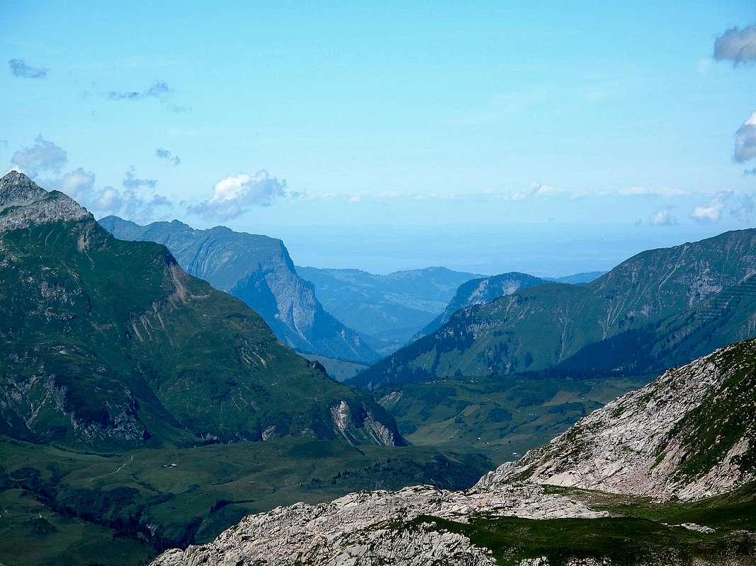
Zoom on the Bregenzerwald to the north west
View High-Resolution Image
Zoom on the Bregenzerwald to the north west
On days as clear as this, the Lake of Constance is visible from the Rauhekopfscharte. I took this picture with a strong zoom to make it show up as clearly as possible.
« PREV
NEXT »
EricChu
on
Aug 6, 2010 7:25 am
Comments & voting
Other parents
Lat/Lon:
47.19514°N / 10.19939°E
Image ID:
646288
1496 Hits
74.92
% Score
5
Votes
Log in to vote
Comments
No comments posted yet.
to post!
Don't have an account?
Bregenzerwaldgebirge
(Area/Range)
You are at
the First
Image
Viewing
#1 of 1
GALLERY
You are at
the Last
Image
EricChu's Image Gallery
« PREV
Viewing
#3077 of 3187
GALLERY
NEXT »
A trail around the Ruefispitze from Lech to Zuers
(Route)
Loading....
×
You need to login in order to vote!
User Name
Password
Remember me
Forgot your password?
Log me out when I close my browser.
Keep me logged in all the time.
sign in as a user
Don't have an account?
Register now for FREE
Rating available
Suggested routes for you
People who climb the same things as you
Comments Available
Create Albums
Register Here


