
Viewing: 1-3 of 3

Alpinist - Feb 24, 2010 11:31 am - Voted 10/10
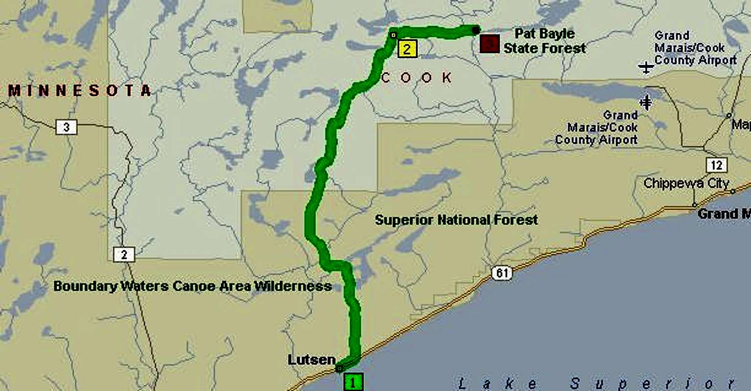
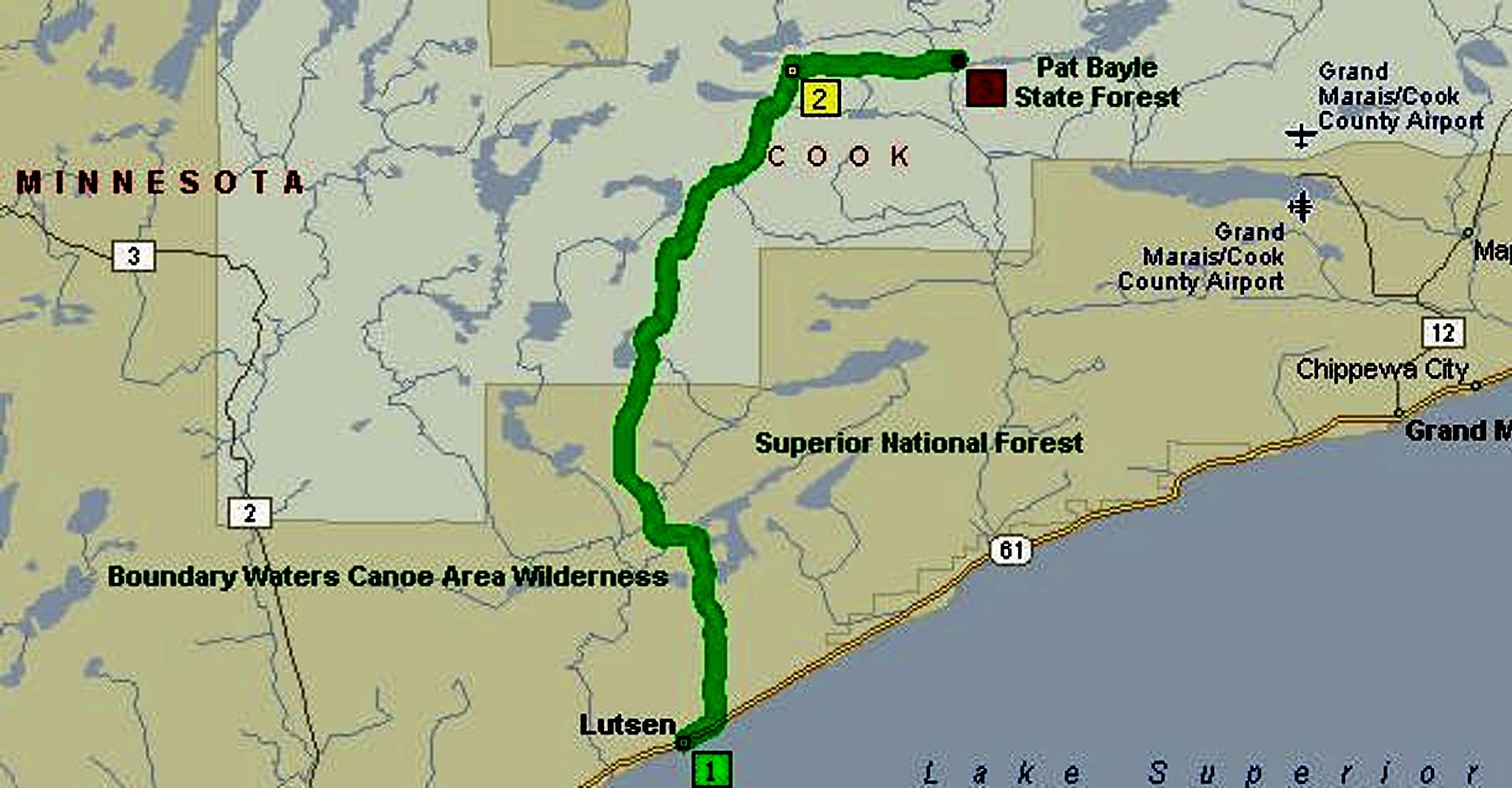
Road has changedNote that FR-153 is now called FR-170 on all maps and road signs in the area surrounding the Eagle Mtn trailhead. FR-153 no longer exists there.

hgrapid - Feb 25, 2010 11:16 pm - Hasn't voted
ThanksIs the change sufficient?
Alpinist - May 6, 2010 1:08 pm - Voted 10/10
Re: ThanksPerfect!
Viewing: 1-3 of 3


Comments
Post a Comment