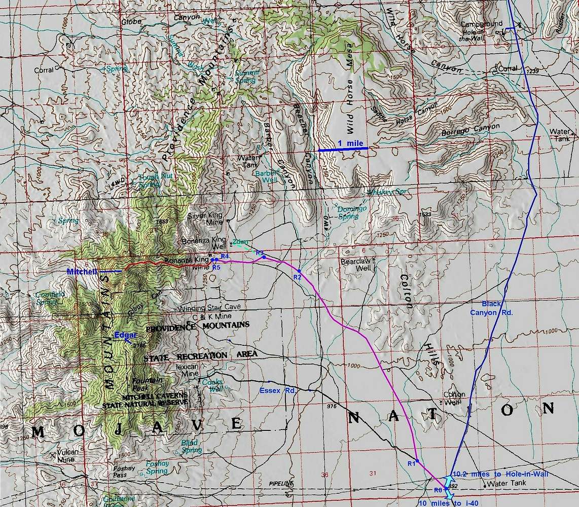
100k large scale map of Mitchell area, showing approaches form I-40 (via Essex Road) and Hole-in-Wall campground (via Black Canyon Road). Red is for the hike; magenta, blue and black denote roads. The waypoints R0 to R5 (for the road drive) are given in the mountain page for Mitchell Point. The dashed green line gives Zdon's alternate drive.
Click to see the full-sized map for waypoints. North is at the top of the page.


