
Viewing: 1-2 of 2

SJD - Jan 17, 2005 1:17 am - Hasn't voted
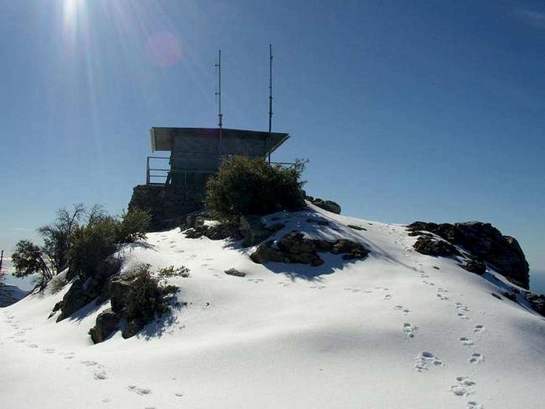
AmazingNice shot, hard to imagine that much snow on Cone Peak.

rhyang - Jan 17, 2005 1:35 am - Hasn't voted
Re: AmazingYa, I figure if there were 2-3 inches of consolidated snow five days afterwards, then it must have been a pretty decent accumulation initially.
btw On my way down I noted that the summit trail from the road had a washout with a madrone down over a steep gully, obstructing whatever trail tread was left. Had to traverse up through the tree above the gully to get to the other side. From the look of the tracks, some folks had probably come up the trail but were turned back by the washout.
Viewing: 1-2 of 2


Comments
Post a Comment