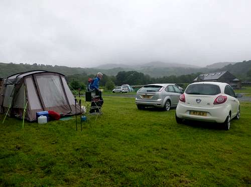
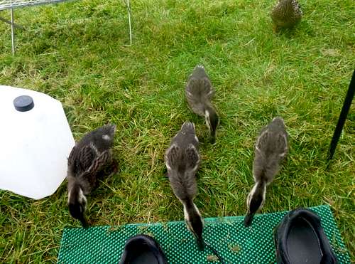
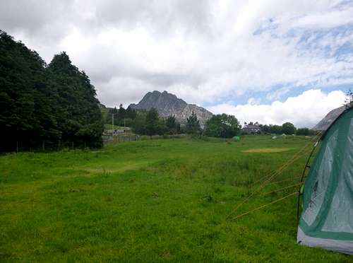
Although the earlier weather forecasts were promising heavy rain, luckily we put up Ken’s tent before the rain came down. But as the old saying goes “lovely weather for ducks” we were soon surrounded by a family of young Mallards looking for crumbs in our doormat.
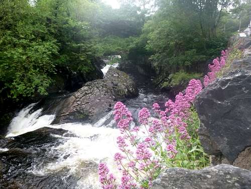
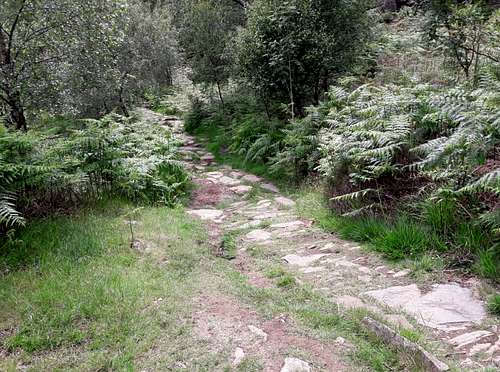
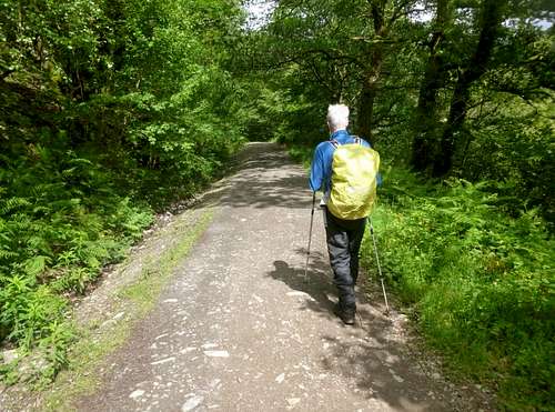
The rain held off so we went for a walk along the river (Afon Llugwy).
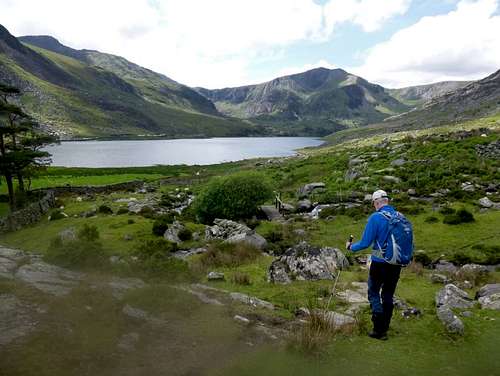
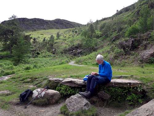
We were discussing the birds that we had spotted on our last visit to Capel Curig and I mentioned that I had only spotted a Dipper a couple of times previously. Ken had seen them more often and was soon on the lookout. As we approached the falls Ken spotted one below on a rock that sat in the torrent below the falls. Unfortunately I was too slow and the bird had scarpered by the time I was in position to view the rock.
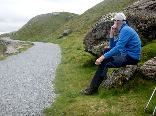
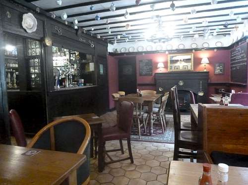
Back at the campsite we had spotted a poster in the gents toilet advertising the facilities at Plas Y Brenin (https://www.pyb.co.uk/), which we had always known as the national outdoor training centre that ran mountaineering and other outdoor sport courses.
According to the poster there was also a bar open to any visitors. In a spirit of natural curiosity, we decided to investigate. Guided by a staff member through a dining room full of kids eating their evening meals we were shown into the bar at the rear of the building. A windowed wall gave us a stunning panoramic view across Llynnau Mymbyr to the Snowdon massif which must rate as the most outstanding mountain scenery in all of Snowdonia.
As if that wasn’t worth the visit alone, the bar was complemented by a selection of local ales brewed by Purple Moose brewery of Portmadog (https://purplemoose.co.uk/) so we ordered up a couple of pints of Snowdonia ale.
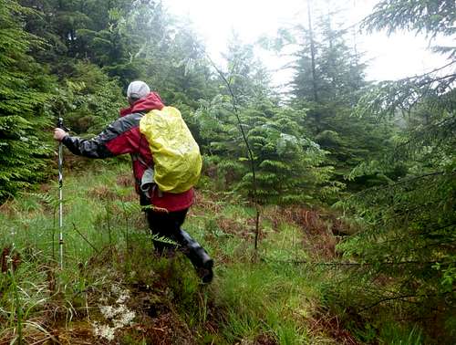
A new day dawned to a damp atmosphere with clouds down to a low level so we decided to take a walk from the local Army Training camp up towards the Crafnant valley. Although the initial part of the trail was easily followed along forestry tracks, we reached what seemed to be a cul de sac with only two indistinct trails leading off the main road. Taking a compass bearing and seeking alignment with the path marked on the ordnance map we headed into the trees.
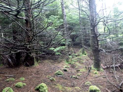
Fighting our way through young and wiry pine trees we soon lost any semblance of a path but then spotted some yellow plastic tape markers which aligned with the direction we were wanting to travel in.
Using our poles to push our way through was hard work and we were soon saturated with rain off the trees and coated with pine needles. A machette would have been handy.
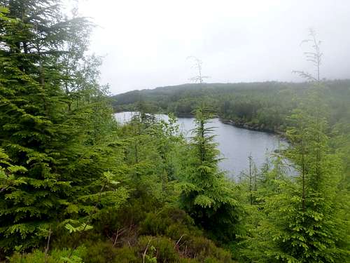
After losing then finding again the markers that had probably been placed for the squaddies from the Army camp we passed through some more open areas. Ken thought that he had spotted a building through the trees and we checked the ordnance maps again to see if any signs of habitation were marked up. This was fruitless but we did arrive at a higher spot that gave us a view of a lake below.
Once we were in agreement on location we decided to plot our route back to the A5, Johnnie had spotted some other types of markers in a clearing to the side of the route we had taken which seemed to indicate perhaps some earlier marshalling point for trainees so we went back to that point.
From the marked area there seemed to be a kind of trail space between the pines leading back in the direction we wanted to travel.
After checking our bearings we had wanted to take a line between two lakes shown on the ordnance map. One of these we had already seen but the other was completely hidden by the forest.
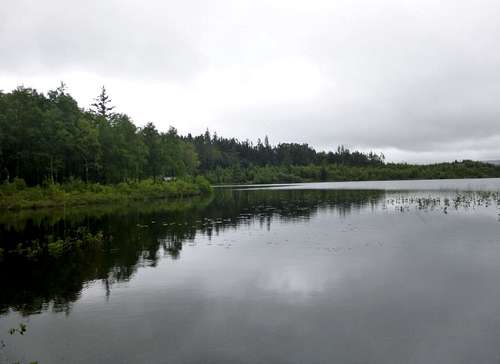
Eventually we managed to fight our way down through the pines to a forestry track which we followed down until we reached a third lake called Llyn Goddionuon which had a fishing lodge located close to the Forestry road.
After admiring the view up the lake we soon retraced our steps along the Forestry road, past farm buildings and the Army training camp and headed back to our campsite for a well earned brew.
A new day and a brighter one greeted us as we rose and paid the farmer for our camping pitch. I asked him if the sight of his cows all lying down in the field over the road was a sign of impending rain but he laughed at the suggestion and said that I shouldn’t take any notice of that as it bore no relation to any bovine habits.
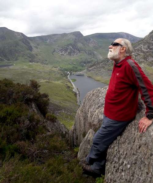
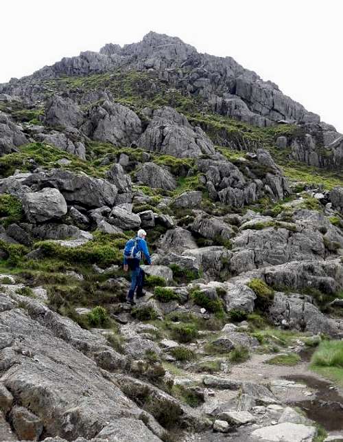
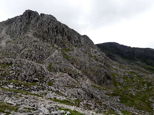
After breakfast and a debate about the best plan for the day, we decided to go into the Ogwen valley and scramble up the North ridge of Tryfan. There was some traffic chaos on the A5 road due to repairs being carried out and the road menders were operating a convoy system past their road gang and their associated machinery.
We found a vacant parking spot in the layby by the side of Llyn Ogwen and soon crossed the road dodging the convoy to reach the iron gate in the drystone wall that marked the start of the footpath below Tryfan.
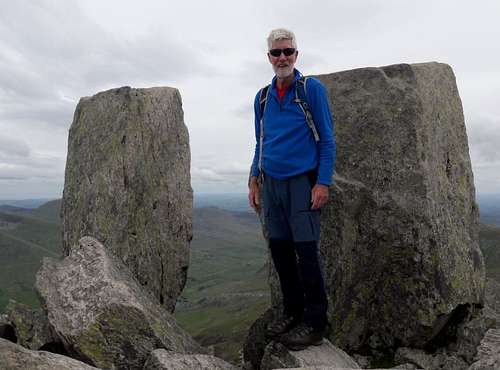
We soon gained height and as usual in the area we were not alone as several parties were taking the same route up the mountain. The rock was dry and the scrambling very enjoyable.
As we paused for a breather we watched another party posing for ‘photos’ on the famous Canon stone at the side of the ledge.
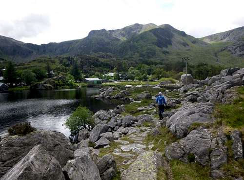
We soon reached the point at which the path descends to Llyn Bochlwyd and followed it down to the small lake where many movies makers had used it’s imposing presence as a location for dramatic scenes of dragons and knights. A choice of route then appeared as the path divided into two. We could have traversed left and down into Idwal but we chose the right hand path which lead us below Bochlwyd buttress and back to the iron gate and the A5 road. The round trip had taken us four hours at a leisurely pace and as we had developed quite a thirst, we decided to pop into Plas Y Brenin for an ale before returning to our campsite and our "all in stew" for dinner.
Day 4 - June 15th 2019
With a cloudy start to the day we decided to avoid the tops but wanted to get a good days walking in so we thought that a walk from the road junction at Capel Curig by Joe Brown’s shop to Idwal cottage would fit the bill perfectly.
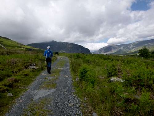
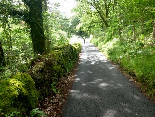
Ken managed to squeeze his car between two VW campers in the car park behind Brown’s which was filled up with them probably due to the marathon race that was taking place in the area as well as a walking festival. Taking the old road down the Ogwen valley which runs parallel to the main A5 road we were soon enjoying the dry and bright day.
![14. Ken travels along the Old road to Ogwen]() 14. Ken travels along the Old road to Ogwen
14. Ken travels along the Old road to OgwenAs we had entered the start of the road, we had to pass through a farmer’s gate. At the same time two guys on mountain bikes also went through as we held the gate open for them. Halfway down the valley we came to another gate at which one of the guys was leaning. Ken said to him that he hadn’t needed to wait for us to return the gate opening favour. After laughing he said in what we thought was a scandie accent that his mate had lost his GPS unit somewhere and had gone back towards Capel to find it. Unfortunately for the mate, he had discovered it next to the second gate but in spite of his mate having been texted he was still out there looking.
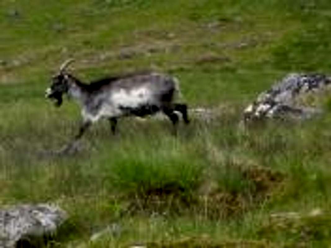
As mentioned earlier, many movies had location shots filmed in the valley and rumour has it that when part of the movie with Yul Brynner called the ‘King and I’ was filmed there, some ‘extras’ escaped or were let loose. These being feral goats whose descendants still exist and can be seen along the valley and even at the mountain tops as they are renowned for climbing almost vertical slopes.
![16. A Feral Goat]() 16. A Feral Goat
16. A Feral GoatWe also spotted a lovely small yellow bird which we didn’t immediately recognise although we suspected it could have been a yellowhammer as it had a dark eye stripe on it’s bright yellow head. But as we didn’t have our RSPB bird handbook we couldn’t be 100% sure. Halfway down the valley we reached the National Trust campsite at William’s farm and saw Tryfan our target of the previous day’s route ahead.
![17. Tryfan from the National Trust campsite]() 17. Tryfan from the National Trust campsite
17. Tryfan from the National Trust campsiteThe old road terminated below Tryfan and it was necessary to cross the A5 road to continue to Idwal Cottage at the western end of Llyn Ogwen. Crossing the road we were about to skirt a fenced-off area when we looked at a very well built structure within the area which we took to be a Mountaineering club hut. A sign designating it as MAM caused us some confusion but after asking a guy outside the building he told us it was the property of the Midlands Association of Mountaineers and is shown on the Ordnance map as Glan Dena.
The trail to Idwal Cottage where our old mate Stan was Director for many years skirted around Glan Dena along the lower slopes of the mighty Pen Yr Ole Wen.
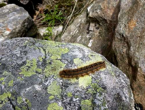
![18. Ken on the path to Idwal Cottage]() 18. Ken on the path to Idwal Cottage
18. Ken on the path to Idwal CottageAs we strolled along the trail we came across what my wife calls a "hairy jack" and was of course some variety of caterpillar.
![19. Wildlife crosses our path]() 19. Wildlife crosses our path
19. Wildlife crosses our pathThe path although indistinct in places did have occasional marker posts and a bridge over a stream so it was easy level going and a very pleasant stroll and we soon reached it’s rockier conclusion by the dam. We used the causeway across it to reach the A5 road again which we crossed to arrive at Idwal Cottage.
We bought our hot drinks from the café located close to Idwal Cottage and were amazed at the surging crowds around us. There was hardly room to sit down to drink our brews. As we have
a distinct aversion to crowded places we soon supped up and headed back over the causeway to return to Capel Curig.
![20. Ken approaches the causeway]() 20. Ken approaches the causeway
20. Ken approaches the causewayThe day’s walk took us over 17 Km of good solid paths and we can recommend it to all as a fine day out and excluding the crowds at the Cottage we saw just a handful of folks on our travels. A pint in the Tyn Y Coed on the way back to our tent was very welcome as the day turned out to be a warm one in spite of the continuing bad weather forecasts.
Day 5 - June 16th 2019
After our longish walk the day before we decided on a shorter one and a loop around the hills above Beddgelert seemed to fit the bill.
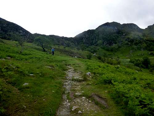
Our chosen trail from Beddgelert was a familiar one to Ken as he had been along it a few times before but I had only been on the concluding section and that was with Ken on a day when the rain deluged the valley.
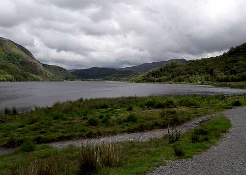
After a short stroll along anarrow road we reached the shores of Llyn Dinas from where the path headed sharply up hill over well constructed steps.
![21. The shores of Llyn Dinas]() 21. The shores of Llyn Dinas
21. The shores of Llyn DinasWe soon reached a higher valley where the path headed through old abandoned mine workings that had littered parts of the hillside with spoil heaps.
![22. Ken takes a break]() 22. Ken takes a break
22. Ken takes a breakOnce at the top of the hillside, the view across the Moelwyns was crystal clear and stirred up a few memories of when we used to go traditional rock climbing on the outcrops above Blaenau Festiniog which was not too far away over the Moelwyns. Looking North we could also see the tip of YWyddfa touching the clouds.
![23. A distant view of Snowdon]() 23. A distant view of Snowdon
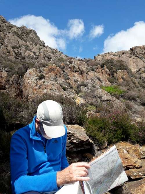
23. A distant view of SnowdonThe winds seemed to be funnelled along the valley so we took shelter in a ruined building to check the map and eat our lunch sarnies.
Out of the wind it was warm in the sun and we spent a pleasant few minutes there remenising over our previous days out around the same area.
A rickety finger post pointed in three directions including the way we had come, the way continuing in the same direction and also eastwards into the Moelwyns, a way not shown on the ordnance map. We chose to follow the marked path and headed due south west.
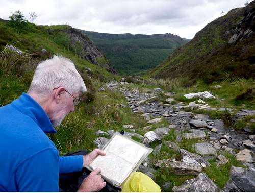
![24. Ken checks our route]() 24. Ken checks our route
24. Ken checks our routeFurther along we came across remains of former industrial activities including pylons for bucket conveyor baskets, previously used for transporting ore dug from the hillside. Mineral extraction was done in former times hereabouts as witnessed by the Museum to copper mining in the valley below.
![25. The descending trail passes old mine workings]() 25. The descending trail passes old mine workings
25. The descending trail passes old mine workingsFrom our lunch stop we carried on along down the valley past the old mine workings.
Route finding not being a problem there as we were funnelled along the valley and down the hillside towards the pass of Aberglaslyn below.
We reckoned that the whole loop walk was only about 9 Km so quite an easy stroll for the day.
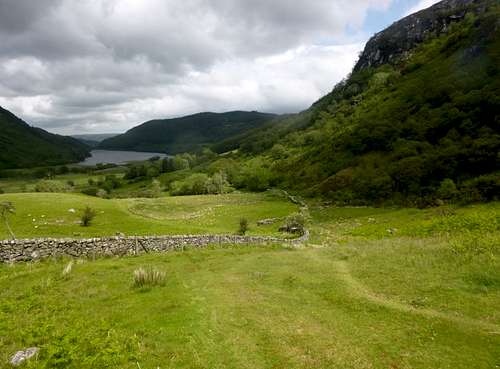
Soon we reached the end of the narrow valley and entered a wooded area where the trail passed into a farm through a secured gate.
![26. The trail emerges into grazing areas]() 26. The trail emerges into grazing areas
26. The trail emerges into grazing areasWe soon followed the well fettled trail through the woods towards the river valley.
![27. A well graded footpath]() 27. A well graded footpath
27. A well graded footpathShortly arriving at the riverside and made our way along the timber walkway towards the town centre of Beddgelert.
As I mentioned before, the last time I walked along there with Ken the heavens had opened and we were totally saturated by torrential rain.
![28. The boardwalk]() 28. The boardwalk
28. The boardwalkOnce we arrived back in town we were overcome with thirst as normal and made our way to the bar in the Royal Goat Hotel where we imbibed in an excellent Purple Moose ale as brewed just down the road in Portmadog.
Back at the campsite we prepared and devoured our traditional ‘all in stew’ before going along to the Tyn Y Coed for a game of dominos and some more local ales.
Day 6 - June 17th 2019
Ken had provided plenty of ingredients for our evening meals up until then but we decided that the larder needed re-stocking so we drove along to Betws Y Coed to find a grocery shop. Breakfast time loomed so we went to the ‘Gorilla’ café at the railway station for an ‘all day breakfast’ and an exotic tea service. Very tasty it was too.
Suitably nourished we travelled back up the road to the campsite to gear up for our next walk. On our previous trek through the forest we had originally thought to exit the forest and head on towards the Crafnant valley but after our bushwacking exploits through the dense pines we were too tired and so we cut short our trip as we were too knackered to press on further.
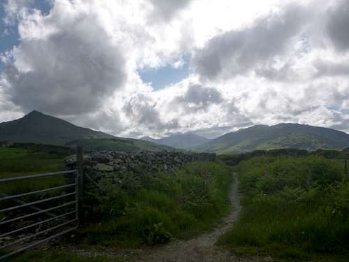
So instead of what we thought might be a shorter way to reach Crafnant from the campsite we instead took alonger way via the car park behind Joe Brown’s shop. Crossing the road junction outside the shop, we passed through a farm gate and headed up the hillside and across the moors in an easterly direction.
After a kilometre or so we reached a wooden bridge crossing a stream after which the path divided into two directions. A short perusal of the map indicated that we should take a northeasterly direction for the route to Crafnant.
![29. Ken checks the route to Crafnant]() 29. Ken checks the route to Crafnant
29. Ken checks the route to CrafnantAfter another two kilometres we reached the area below Craig Wen and from there we could see down to LlynCrafnant.
![30. Approaching Craig Wen]() 30. Approaching Craig Wen
30. Approaching Craig Wen![31. Heading down to Llyn Crafnant]() 31. Heading down to Llyn Crafnant
31. Heading down to Llyn CrafnantWe soon reached the road alongside the lake and started looking for the telephone box marked on the ordnance map as that was where a trail could be picked up to travel through the forests back towards our campsite.
We found a trail marker as expected and were just entering the forest when we met a family coming the other way. The parents and two young boys had been following a short marked route through the forest that coincided with the one we needed. We chatted a while and exchanged banter as they were Manchester City supporters whilst we support Liverpool FC. Ken said he couldn’t have spoken to them if they were Manchester United fans.
![32. Ken on the Forestry trail]() 32. Ken on the Forestry trail
32. Ken on the Forestry trailOur route through the forest avoided the bushwacking of the previous day’s outing and we managed to find sensible trails leading us through the woods until we picked up the minor road that linked Tefriw with Capel Curig.
![33. A less travelled road]() 33. A less travelled road
33. A less travelled roadWe followed this road past another lake called Llyn Geirionedd passing to the north of the lake we had seen on our earlier walk through the forest.
After a couple of kilometres we needed to leave the road and pick up the designated “Slate Trail” that headed west back towards Capel Curig and the start of our outing.
Walking along the road which was very shaded by overgrowing trees we were impressed by the mosses that were covering the enclosing drystone walls.
Here and there along the roadside were growing flowers like the beautiful yellow Welsh Poppy and the pinkish Digitalis. Occasionally some hidden songbirds accompanied us along our way with their cheerful tunes making it a very pleasant way to pass the time.
A few cars passed us before we left the road so we were quite pleased to reach the “Slate Trail”.
![34. A Welsh Poppy]() 34. A Welsh Poppy
34. A Welsh Poppy![35. The Slate Trail heading to Capel Curig]() 35. The Slate Trail heading to Capel Curig
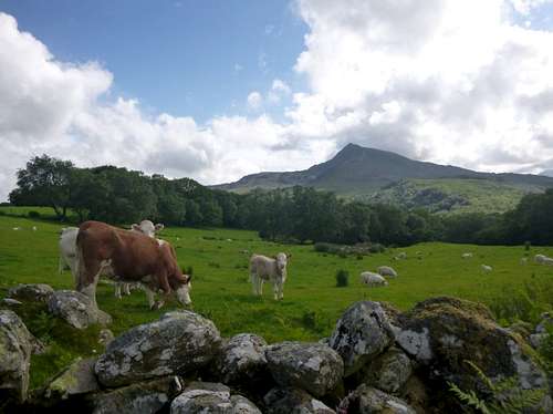
35. The Slate Trail heading to Capel CurigOnce away from the road and the occasional traffic we were soon enjoying the silence of the hills. We passed a farmers field with a few grazing cows and saw Moel Siabod behind them in the distance.
![36. Looking towards Moel Siabod]() 36. Looking towards Moel Siabod
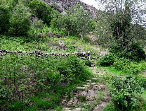
36. Looking towards Moel SiabodOur walk was nearly ended and we reckoned we would cover about 14 Km for the whole outing. Before too long we had reached the wooden bridge that we had crossed earlier in the day from which lead the well constructed path back down to the junction at Joe Brown’s shop.
Day 7 - June 18th 2019.
As it was our last day bar one we decided to do the big one. Our choice – Snowdon via the PYG track.
After a nourishing breakfast at the Moel Siabod Café we drove up to Pen Y Pass but found that the car park was totally full. A three point turn led us back down to the PYG and we turned down the road towards Nant Gwynant to park in the layby not far from the PYG. So from 250 metres height at the layby we had to ascend back to 359 metres at Pen Y Pass.
Ah well, all in a day’s work. The trail was well constructed and we soon arrived back at the Pass to pop into the Gorphwysfa hostel for a coffee. We were surprised at the amount of development of the Hostel as it now resembles a fully fledged hotel rather than the YHA hostel of former times. It had started life many years before the YHA took over as a hotel and some memorial pictures of the illustrious founder were seen in the breakfast bar.
Suitably refreshed by our coffees we headed over the road through the full car park to pick up the start of the PYG track.
As made obvious by the state of the parking, many other groups had decided to make their way up the PYG track too.
We plodded along in our normal way, not seeking to engage in a race with anyone else.
![37. Johnnie on th PYG track]() 37. Johnnie on the PYG track
37. Johnnie on the PYG track![38. Ken ascends the PYG track]() 38. Ken ascends the PYG track
38. Ken ascends the PYG trackAt our level, the weather was perfect for walking, the sun was shaded over and the winds were absent. We suspected that higher up near the summit ridge this balmy weather would be bound to change.
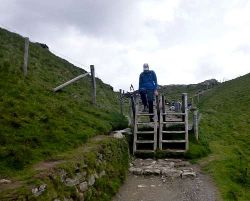
![39. Crossing the styles]() 39. Crossing the styles
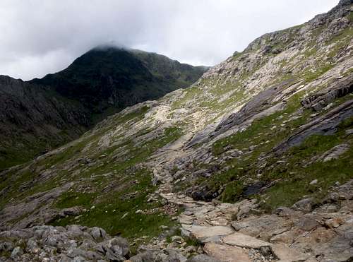
39. Crossing the stylesAfter crossing the styles, the footpath is very well laid and it has to be considering the thousands that use it every year. The PYG track crosses below Crib Goch at a higher level than the miners path below which runs along the side of Llyn Llydaw.
![40. The PYG track above Llyn Llydaw]() 40. The PYG track above Llyn Llydaw
40. The PYG track above Llyn Llydaw
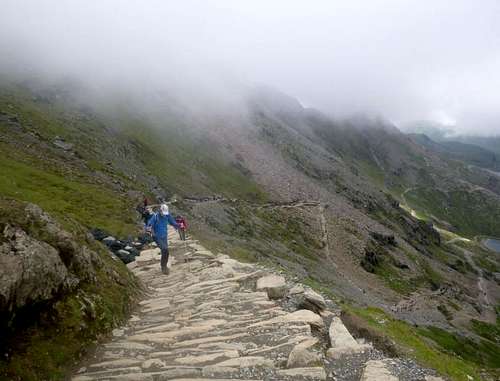
Higher up the footpath becomes a bit more rustic and requires closer attention.
![41. The summit of Yr Wyddfa in clouds]() 41. The summit of Yr Wyddfa in clouds
41. The summit of Yr Wyddfa in cloudsAs we rose higher we could see the other main path below us.
![42. The miners path below]() 42. The miners path down below by the Llyn
42. The miners path down below by the Llyn
The path steepened and had been well constructed with solid steps which were placed to handle the crowds and repair the earlier erosion.
![44. Steep steps near the top of the PYG track]() 44. Steep steps near the top of the PYG track
44. Steep steps near the top of the PYG track
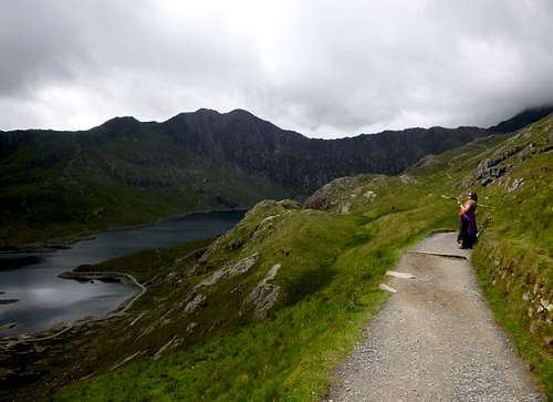
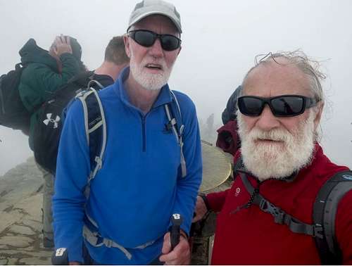
We reached the Bwlch and turned left to head up the final slopes to the summit of Yr Wyddfa where we entered the crowds of people gathered at the summit trig point. A queue was formed on the steps up to the Trig point as walkers waited to take their summit selfies. We dutifully joined the queue like traditional brits and took our own snap at the top.
![45. Ken & Johnnie at the summit]() 45. Ken & Johnnie at the summit
45. Ken & Johnnie at the summit
The trig point is a bit more special there than most, as it has a brass disc on which are engraved the directions and distances of other important locations (seen in the picture between Ken & Johnnie). However, the crowds prevented us from lingering there to study the info so we went down and into the summit café.
The café was heaving with people too but we managed to grab a couple of seats in a corner and opened up our butty boxes to eat lunch.
Sitting in the café people watching, we noted the international flavour of the other visitors and thought that the place must be the most popular mountain top in the whole of the UK.
Before long, a PA announcement was calling passengers to return to the rack & pinion railway train as it was about to depart for its precipitous descent back to the Llanberis Pass and the Llanberis Station.
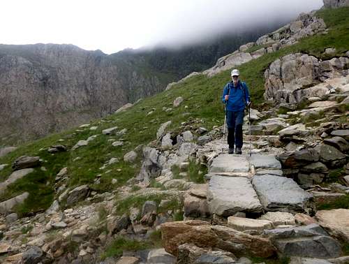
After finishing our sandwiches we left the café and headed back down to the Bwlch where we chose to descend via the Miners Track rather than the PYG track.
![46. Ken descends the Miners path]() 46. Ken descends the Miners path
46. Ken descends the Miners pathMoving down away from the crowds we soon lost height and reached the slopes above the shores of Glaslyn the upper lake within the Snowdon horseshoe
![47. The shores of Glas Llyn]() 47. The shores of Glas Llyn
47. The shores of Glas LlynThe Miners Track continues down to the lower lake of Llyn Llydaw where a causeway crosses it at a point where in former times the water level for the Hydro scheme was much higher.
![48. Ken contempletes the Miners path]() 48. Ken contemplates the Miners path
48. Ken contemplates the Miners pathKen peruses the final lengths of the Miners Track before we headed back to Pen Y Pass and our descent to the PYG.
We didn't stop at the PYG hotel for refreshments but carried on to our "local" the Tyn Y Coed where we had the bar to ourselves.
![49. The deserted bar at the Tyn Y Coed]() 49. The deserted bar at the Tyn Y Coed
49. The deserted bar at the Tyn Y CoedSo ended our trip for 2019.
In the morning we shook the nights light rain off the tent before taking down the tent and loading up our cars for our respective journeys back home.
A great week in Wales and we’re already looking forward to our next trip.


Comments
Post a Comment